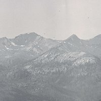
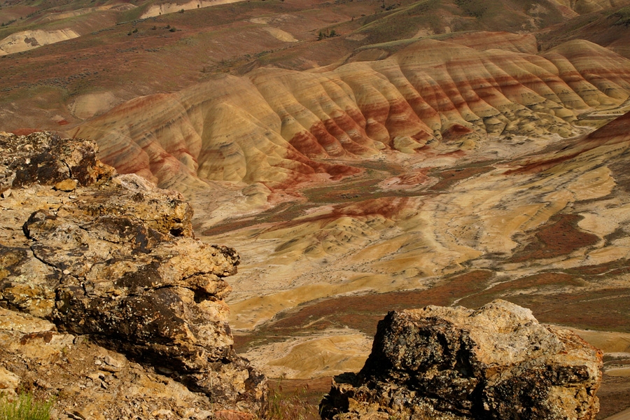
Mitchell, the second largest town in Wheeler County (Fossil is the largest), had a population of 160 in 2020. It is located along Bridge Creek just off U.S. Highway 26, forty-seven miles east of Prineville and sixty-eight miles west of John Day. The community began in the 1860s as a stage stop on The Dalles–John Day Military Road, which served gold-mining operations to the east. More recently, it supported logging and cattle ranching, with Hudspeth Land and Logging Company a major presence until the 1980s. Mitchell is a gateway to the popular Painted Hills unit of the John Day Fossil Beds National Monument and a focal point for rock hounds.
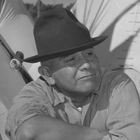
Mitchell was named by the town's first postmaster, H.H. Johnson, in honor of John H. Mitchell of Portland (1835-1905), a Republican who represented Oregon in the U.S. Senate for three discontinuous terms (1873-1879, 1885-1897, and 1901-1905). The town was incorporated in 1891.
The location of Mitchell in the steep-walled canyon of Bridge Creek has made the town vulnerable over the years to flash floods caused by cloudbursts upstream. In 1884 and 1904, it was severely damaged by flooding, and in July 1956 a fierce thunderstorm and "gully-washer" to the south and west in the Ochoco Mountains caused widespread devastation to the town and the ranches and roads around it. The resilient town recovered after each disaster.
The Mitchell School District, one of the smallest in the state in number of pupils, provides full-service schooling from kindergarten through high school. On the high school level, the school, like several others in rural Oregon (Crane and Paisley, for example), augments its budgetary resources by enrolling out-of-state and international students who are housed in a nearby dormitory. Mitchell High School's football team, known as the Loggers, originally played six-man football, but in recent years has incorporated players from Spray High School and competes as an eight-man team, the Mitchell-Spray Eagle-Loggers.
Since 1995, the town and the tightknit community of people who live near it have mounted the Painted Hills Festival on Labor Day weekend. The festival offers a Grand Parade; 5K, 10K, and half-marathon races; a quilt show; live music and a street dance; and plenty of country food. Regular attractions in Mitchell include the Sally Winebarger House, which originated in stagecoach days as the Central Hotel and is in line to become a museum, and the Little Pine Cafe and General Store on Main Street. An amiable 800-pound black bear named Henry, who lived for years in a large enclosure across the street from the Cafe and Store, is now "retired" at a nearby ranch, but is not forgotten.
-
![]()
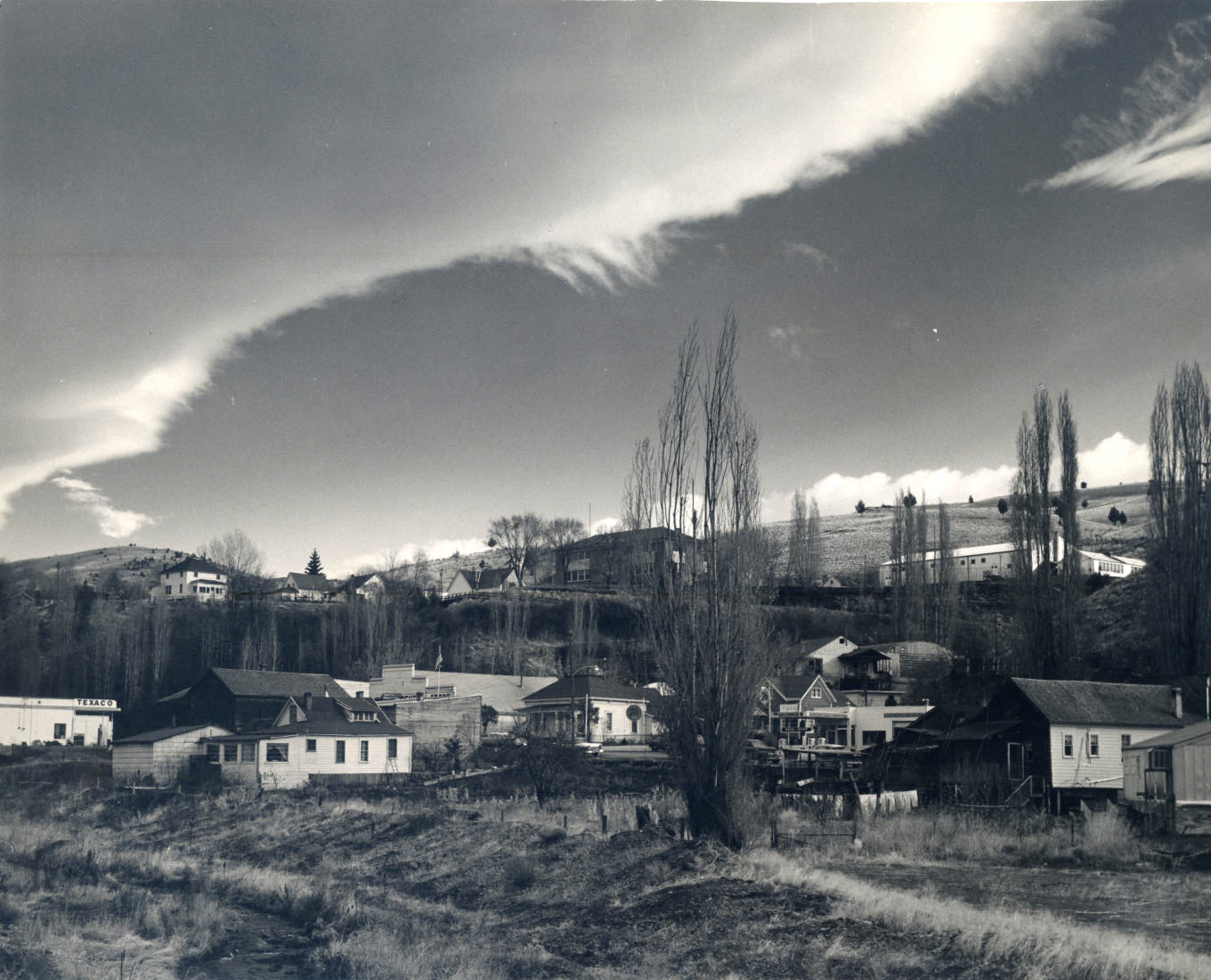
Mitchell, 1963.
Courtesy Oreg. Hist. Soc. Research Lib., Al Monner, 57796
-
![After the flood, 1956]()
Mitchell, 1956.
After the flood, 1956 Courtesy Oreg. Hist. Soc. Research Lib.
-
![]()
First high school, Mitchell, 1922.
Courtesy Oreg. Hist. Soc. Research Lib., OrHi96137
-
![]()
John Hipple Mitchell.
Courtesy Oreg. Hist. Soc. Research Lib., 26777
-
![]()
Mitchell, after flood, 1956.
Courtesy Oreg. Hist. Soc. Research Lib.
-
![]()
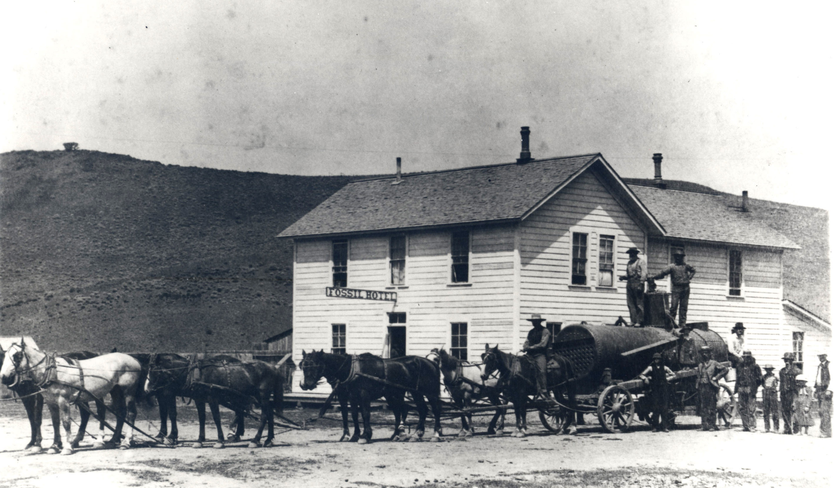
Mitchell, 1929.
Courtesy Oreg. Hist. Soc. Research Lib.
-
![State highway after one of the Mitchell floods.]()
State highway into Mitchell.
State highway after one of the Mitchell floods. Courtesy Oreg. Hist. Soc. Research Lib.


Related Entries
-
![Fossil]()
Fossil
The town of Fossil is the county seat of Wheeler County and the cultura…
-
![John Day Fossil Beds National Monument]()
John Day Fossil Beds National Monument
John Day Fossil Beds National Monument, established in October 1975, sh…
Map This on the Oregon History WayFinder
The Oregon History Wayfinder is an interactive map that identifies significant places, people, and events in Oregon history.
Further Reading
Bishop, Ellen Morris. In Search of Ancient Oregon: A Geological and Natural History. Portland, Ore.: Timber Press, 2003.
Stinchfield, Janet L., and McLaren E. Stinchfield, eds. The History of Wheeler County, Oregon. Dallas, Texas: Taylor Publishing Company, 1983.
