
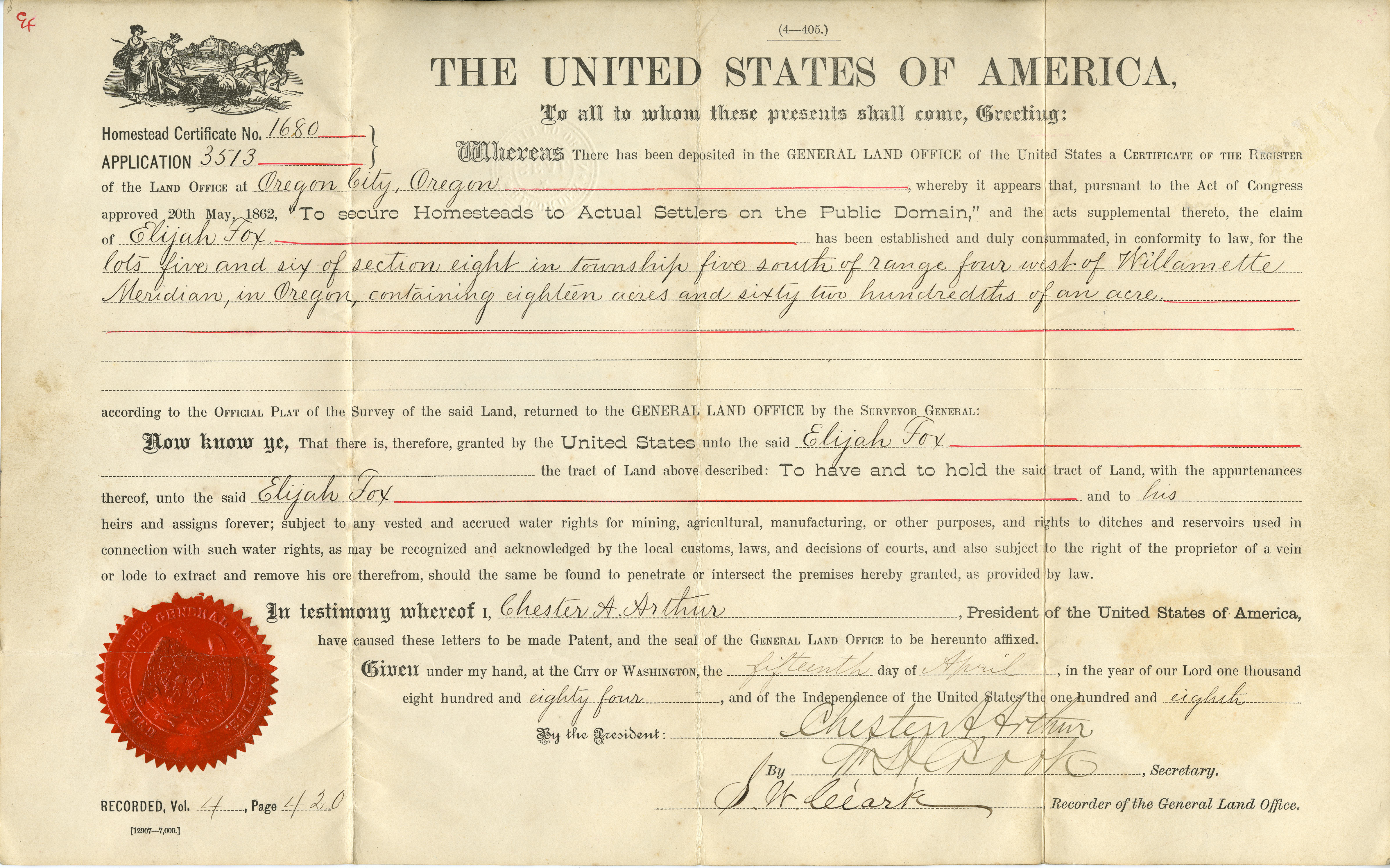
Land surveys accomplished under the U.S. Government's Rectangular Survey System are the basis for the establishment of land titles and boundaries within Oregon. The initial point for the land surveys in Oregon is referred to as the Willamette Stone; and the principal survey meridian, running north and south, is named the Willamette Meridian.
In 1850, two years after Oregon had attained territorial status and become part of the nation’s public domain, Congress passed the Donation Land Act to resolve the problems caused by escalating immigration, preemption settlement, and land claims. The primary purposes of the act were to create the Office of Surveyor-General of Oregon, to provide for the survey of public lands, and to make donations of public lands to settlers. The act also set into motion the direct involvement in the Oregon Territory by the United States General Land Office (GLO), which was charged with the administration, survey, and disposition of public domain lands. Land surveys, also known as cadastral surveys, were necessary before the public domain could be conveyed out of federal ownership.
The first surveyor-general of Oregon, John B. Preston, opened the GLO survey office for the Oregon Territory in Oregon City on May 5, 1851, and secured a staff of cadastral surveyors. GLO’s Rectangular Survey System, formally known as the United States Public Land Survey System, had first been used in Ohio in 1785 and applies only to the thirty public domain states, which contain the nation’s thirty-seven rectangular survey principal meridians. The principal meridians (running north and south) and base lines (running east and west) form the framework for the surveys, including grids of six-mile-square townships, thirty-six one-square-mile sections per township, and smaller subdivisions. The Willamette Meridian was selected as the only principal meridian necessary to survey all of what is now Oregon and Washington.
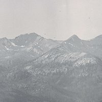
The GLO commissioner advised Preston to establish the initial point of the survey so the Willamette Meridian would run north to Puget Sound and south to California, passing between Vancouver Lake and the Columbia River to keep the meridian out of those two waterways as much as possible. The Willamette Base Line, running east to the Snake River and west to the Pacific Ocean, was to be positioned south of the Columbia River and north of Mount Hood and across the Tualatin Plains.
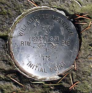
The surveyors selected a high point on a ridge along the Tualatin Mountains (known today as Portland’s West Hills) for the intersection of the meridian and base line and the location of the survey initial point established on June 4, 1851. Known later as the Willamette Stone, the first marker placed at the survey point was a cedar post. It was replaced in 1888 with an obelisk marker, but the stone marker and bronze plaques were vandalized in 1951, 1967, and 1987. A stainless-steel marker, set into the original obelisk, was rededicated in 1988. The Willamette Stone site is now enclosed in Willamette Stone State Park near Northwest Skyline Boulevard.
In 1946, the GLO's successor, the Bureau of Land Management, became the custodian of the official survey records and is responsible for accomplishing resurveys and new surveys of public lands. Land surveys conducted by county and private surveyors must be tied to the original surveys. The Rectangular Survey System deals with one of the oldest and most fundamental facets of human society—ownership of land. It is the foundation upon which rests title to all land that is now, or was once, part of the public domain.
-
![Survey marker for the Willamette Meridian at Willamette Stone State Park, Washington and Multnomah Counties.]()
-
![Willamette Meridian and Base Line map.]()
Willamette Meridian cadastral survey map.
Willamette Meridian and Base Line map. Courtesy U.S. Bureau of Land Management -
![]()
Willamette Meridian Marker on the Tualatin River Greenway in Tualatin.
Courtesy Karen K. Johnson
-
![]()
Willamette Meridian Marker on the Tualatin River Greenway.
Courtesy Karen K. Johnson
-
![]()
Willamette Meridian Marker on the Tualatin River Greenway.
Courtesy Karen K. Johnson
-
![]()
Willamette Meridian Marker on the Tualatin River Greenway.
Courtesy Karen K. Johnson


Related Entries
-
![Oregon Donation Land Law]()
Oregon Donation Land Law
When Congress passed the Oregon Donation Land Law in 1850, the legislat…
-
![U.S. Bureau of Land Management]()
U.S. Bureau of Land Management
The Bureau of Land Management (BLM) administers over 15.7 million acres…
-
![U.S. General Land Office in Oregon, ca. 1850-1946]()
U.S. General Land Office in Oregon, ca. 1850-1946
With the acquisition of the Oregon Country in 1846, the United States w…
Related Historical Records
Map This on the Oregon History WayFinder
The Oregon History Wayfinder is an interactive map that identifies significant places, people, and events in Oregon history.
Further Reading
Atwood, Kay. Chaining Oregon, Surveying the Public Lands of the Pacific Northwest, 1851-1855. Granville, Ohio: McDonald & Woodward Publishing Company, 2008.
Powell, Karla and Tim Kent. “Romancing the Stone at Willamette Meridian” The American Surveyor. http://www.amerisurv.com/PDF/TheAmericanSurveyor_RomancingTheStoneAtWillametteMeridian_May2005.pdf.
U.S. Department of the Interior, National Atlas of the United States, 2009.
White, C. Albert. A Casebook of Oregon Donation Land Claims. Oregon City: LLM Publications, 2001.
