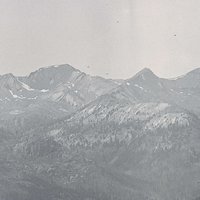
The Alsea River originates in creeks flowing from the west side of Mary's Peak, the highest mountain in the Coast Range (elev. 4101 ft.), and in several streams in northwestern Lane County. The river flows west-northwesterly in a winding course on its way to the Pacific Ocean at Waldport on Oregon's mid coast. The main stem of the river begins at the confluence of the North and South forks near the community of Alsea and flows approximately 43 miles to the coast. Its watershed embraces 470 square miles (nearly 300,000 acres), with major tributaries such as Lobster Creek, Fall Creek, the Five Rivers system, and Drift Creek augmenting its volume. Much of the drainage is in the Siuslaw National Forest.
The Alsea River takes its name from Indian villagers (Alsi/Alseya) who lived around the extensive estuary on the lower river. The estuary and nearby coves along the coast provided abundant foodstuffs as did seasonal gathering treks to the upper valley. Joel Palmer, Oregon’s Indian agent, established the Alsea Subagency of the Coast Reservation on Alsea Bay in 1859. Congress disbanded the Alsea Reservation in 1875.
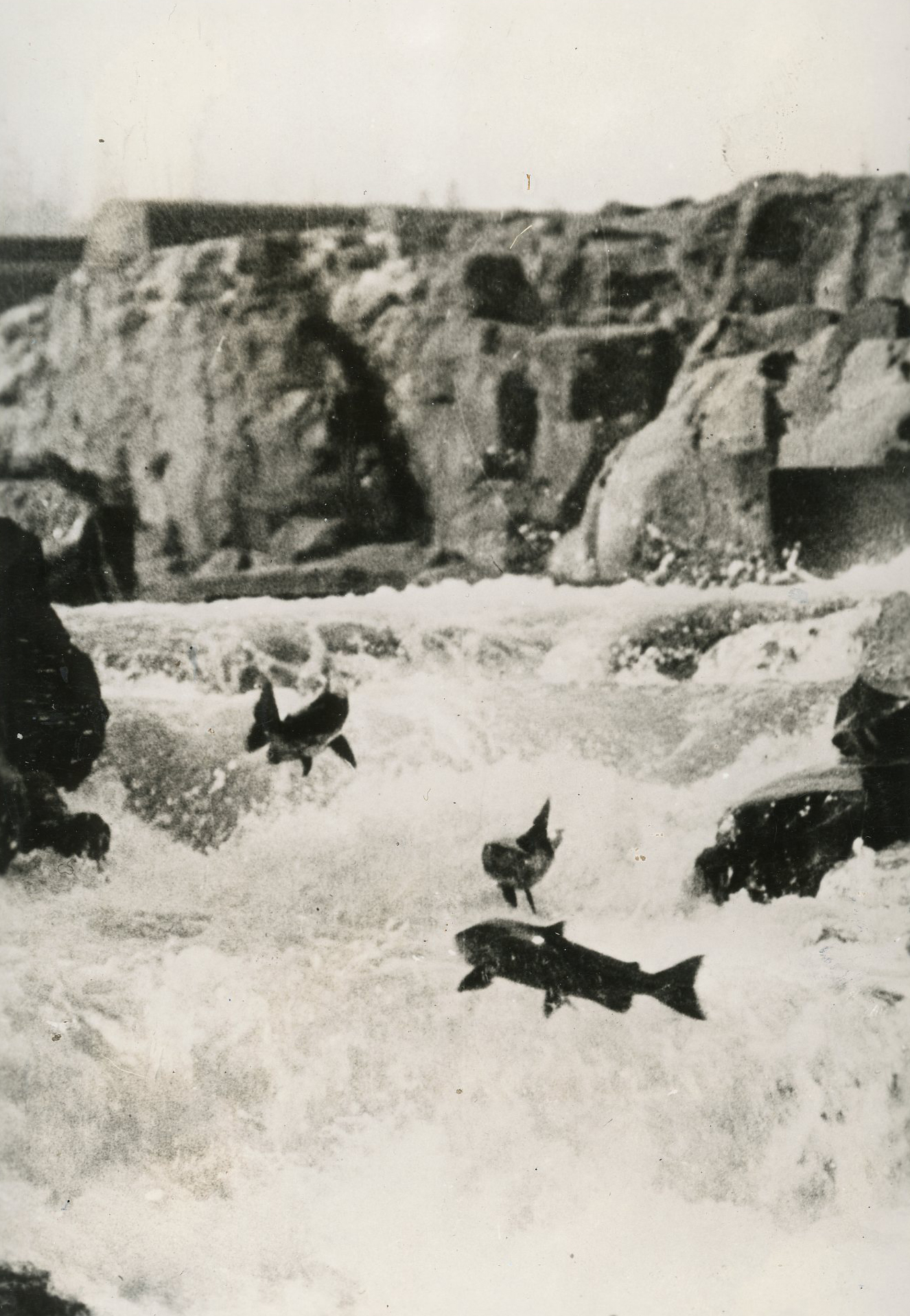
From the Indian period to the present, the river has supported a major fishery, with three important runs of anadromous fishes: sea-run cutthroat trout (late summer and early fall); Chinook salmon (late summer through November); and steelhead trout (December to March). Since the decline in timber harvests in the 1990s, sports fishing provides modest support for businesses along the river. While the river has had only minor impoundments on its tributaries, it has two fish hatcheries, one on the North Fork and another downstream on the Fall Creek tributary, the site of the Oregon Hatchery Research Center.
-
![]()
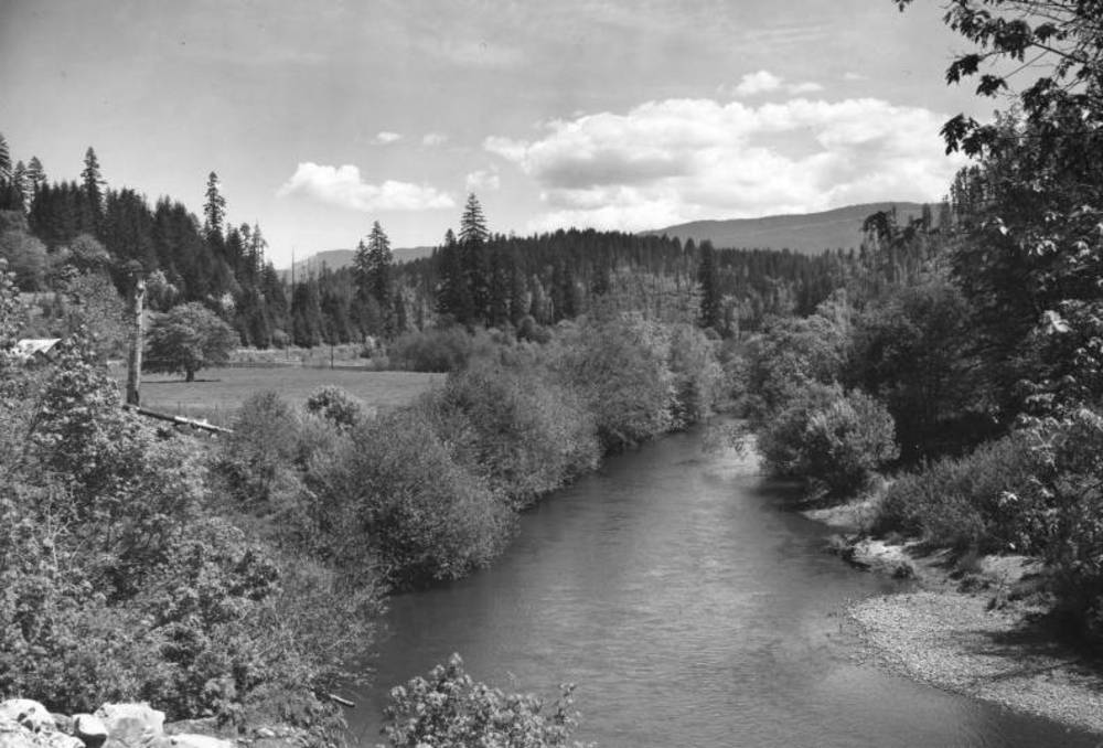
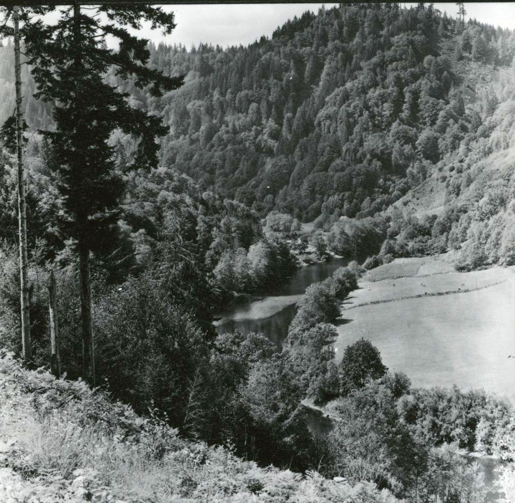
Alsea River, 1955.
Oreg. State Univ. Archives, Office of University Publications coll., North Coast Explorer series, P094:Acc 95:014-Alsea Falls
-
![]()
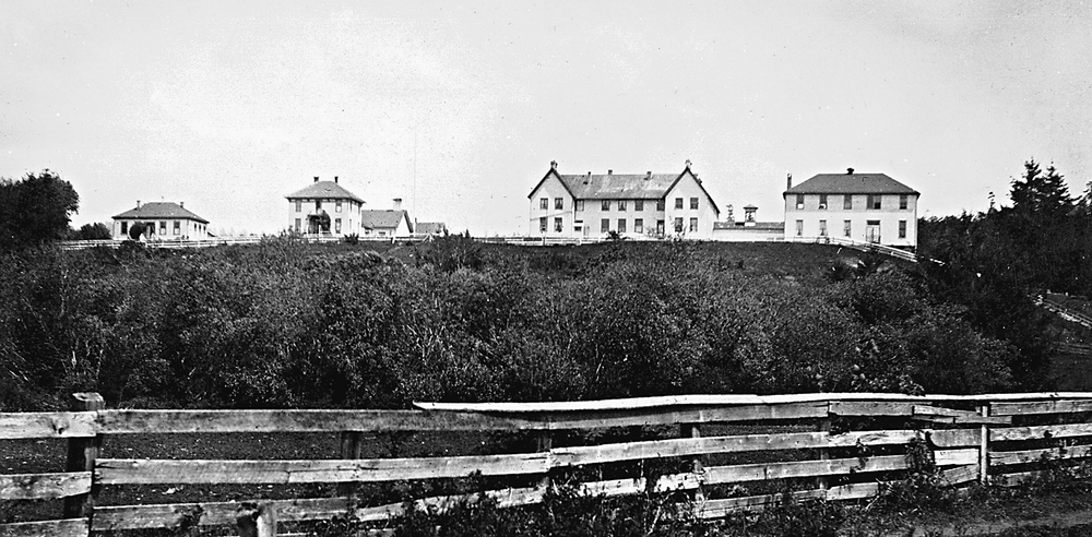
Alsea River.

Related Entries
-
![Alsea (Alcea)]()
Alsea (Alcea)
Alsea is an unincorporated community of about two hundred residents in …
-
![Alsea Subagency of Siletz Reservation]()
Alsea Subagency of Siletz Reservation
In September 1859, Joel Palmer, the Superintendent of Indian Affairs fo…
-
![Coast Indian Reservation]()
Coast Indian Reservation
Beginning in 1853, Superintendent of Indian Affairs Joel Palmer negotia…
-
![Salmon]()
Salmon
The word “salmon” originally referred to Atlantic salmon (Salmo salar),…
Map This on the Oregon History WayFinder
The Oregon History Wayfinder is an interactive map that identifies significant places, people, and events in Oregon history.
Further Reading
Lewis A. McArthur & and Lewis L. McArthur, Oregon Geographic Names, Seventh Edition (Portland: Oregon Historical Society, 2003).
North Coast Explorer. Natural Resources Digital Library http://northcoastexplorer.info.
Interview long-time Alsea resident Bonnie Hill.
