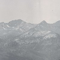

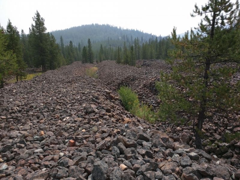
The gold mining town of Amelia City, in northern Malheur County, was located about thirty miles southeast of Baker City and a few miles south of Mormon Basin, where miners rushed in after gold was discovered in 1867. It was one of the first mining settlements that sprang up when miners expanded into the area south of the basin in the 1870s.
Amelia City boomed for a short time and then quickly declined. As a transient mining town of mostly miners, its peak population was likely a few hundred. Amelia City appears on the map of General Land Office for the State of Oregon in 1876 and is shown on maps (sometimes as Amelia) until 1890. It disappeared from maps after 1900 and was presumably deserted.
Two explanations have been offered for the origin of the town's name. One is that it was named in honor of Amelia Koontz, a preacher's daughter who eloped with a miner. The second is that it was named for Mormon leader Brigham Young's supposed favorite wife, Amelia Young.
-
![By George Woodman]()
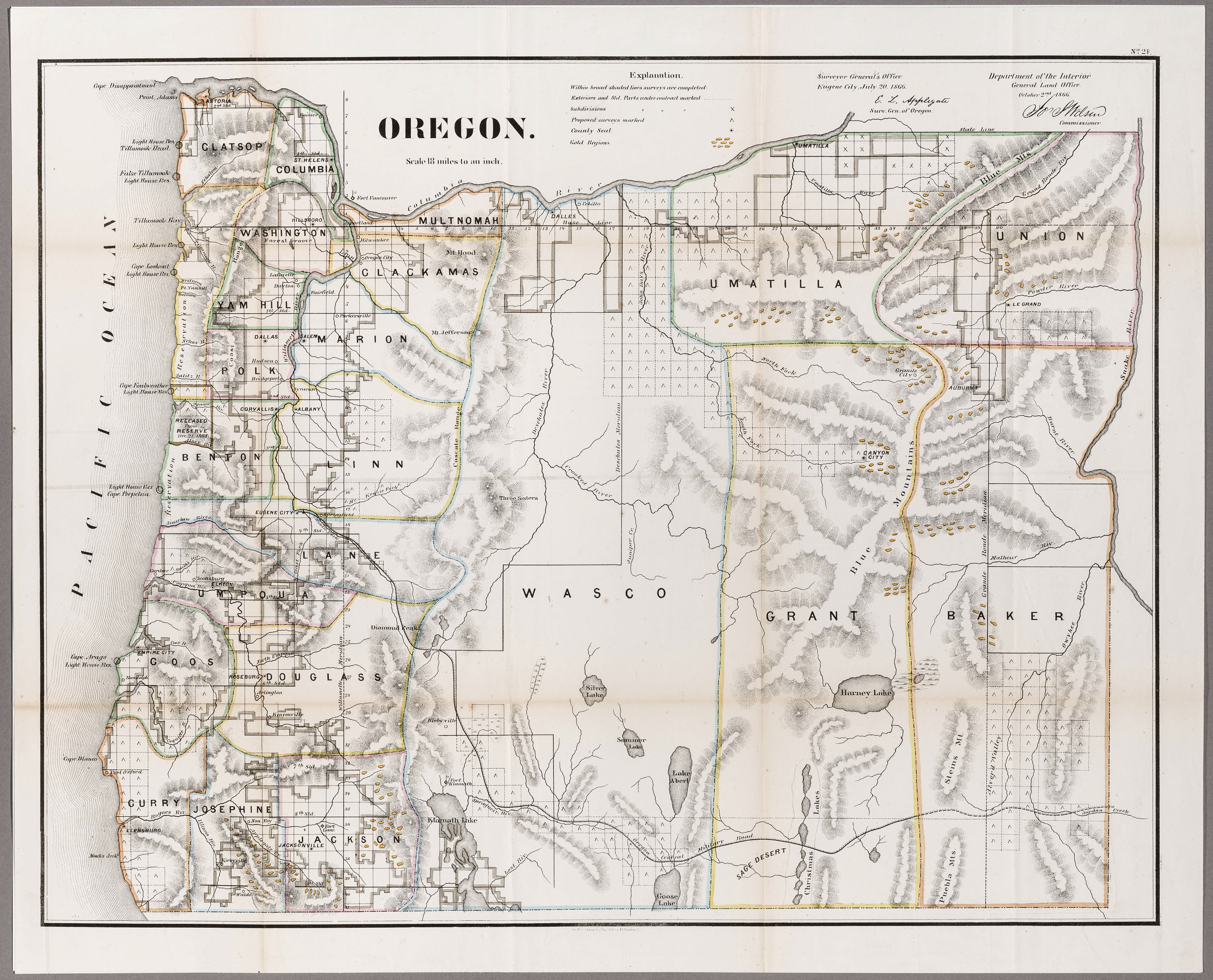
Map of the mining sections of Idaho and Oregon, 1864.
By George Woodman Oregon Historical Society Research Library Maps Collection, G4291.H1 1864.W66

Related Entries
-
![Ah Hee Diggings (Chinese Walls)]()
Ah Hee Diggings (Chinese Walls)
The Ah Hee Diggings, also called the Chinese Walls, are sixty acres of …
-
![Two Dragon mining camp]()
Two Dragon mining camp
Two Dragon Camp was an isolated, 2.5-acre placer mining camp in the Cam…
Related Historical Records
Map This on the Oregon History WayFinder
The Oregon History Wayfinder is an interactive map that identifies significant places, people, and events in Oregon history.
Further Reading
Barton, J. Tracy. "‘Amelia' and ‘Shirt Tail Gulch' in Mormon Basin." Oregon Historical Quarterly 43:3 (September 1942): 228-31.
McArthur, Lewis L. Oregon Geographic Names. 6th ed. Portland: Oregon Historical Society Press, 1992.
St. John, Alan D. Oregon's Dry Side: Exploring East of the Cascade Crest. Portland, Ore.: Timber Press, 2007.
