The Coos Bay estuary is a semi-enclosed, elongated series of sloughs and tidewater streams that drains approximately 825 square miles of southern Oregon's rugged Coast Range. For much of its history since the 1850s, the area has been notable for the huge volume of lumber shipped to world markets. The story of the human communities around Coos Bay begins some 10,000 years ago when people first began occupying the estuary's lush marshlands and tidal flats.
Villagers lived in a relatively stable ecosystem for several millennia until a floodtide of Euro-Americans began overrunning the area in the mid-1850s. Those incursions into southwestern Oregon Native homelands led to the forcible removal of most Native people to the newly created Coast Reservation in 1856. Around Coos Bay, however, a few Indian families continued to subsist in remote places. They would eventually participate as wageworkers in the emerging logging and fishing industries.
From 1850 to the present, outside forces and events have directed economic, social, and cultural life on Coos Bay, especially when the long reach of timber capitalists from the Great Lakes states began investing in the region. Mirroring activities elsewhere in the Pacific Northwest, southwestern Oregon's lush timberlands provided an attractive opportunity for investors seeking to profit from the area's natural bounty.
For nearly a century, the coal, timber, and fisheries industries provided a modest living for local workers and good profits for investors. Still, the communities around Coos Bay—Marshfield (renamed Coos Bay in 1944), North Bend, Empire, Charleston, and Eastside—periodically faced economic downturns. With diminished stands of harvestable timber and a troubled salmon and bottom fishery, the promise of those activities began to wear thin in the 1980s. What the Coos Bay communities have experienced since the 1970s is the unraveling of a traditional way of life—the sunset of an era of extractive activity—and disappointing prospects for the future.
A good argument can be made that the large forest-products firms that profited most from southwestern Oregon's timber bounty have also helped accelerate the area's rapid de-industrialization. In that sense, the Coos Bay communities enter the post-industrial twenty-first century largely bereft of the magnificent timber resource that sustained the local economy for more than a century. Although Coos County's population has remained relatively flat since the 1960s, newcomers continue to move to the area, many of them retirees looking for modestly priced real estate. In 2020, 15,985 people lived in Coos Bay.
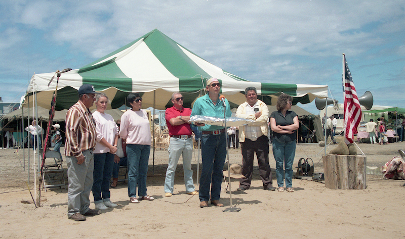
Another part to the Coos Bay story is the Coquille Indian Tribe, which regained federally recognized status in 1989 and opened The Mill Casino in 1995 (on land purchased from the Weyerhaeuser Company). When the casino made the move from temporary quarters to its newly constructed buildings in 1997, the tribal enterprise began to flourish, offering family-wage jobs with health benefits to fulltime employees. The Coquille Tribe is now an important economic and cultural contributor to the viability of Coos County.
-
![]()
View of Marshfield, now Coos Bay, July 1907.
Oreg. Hist. Soc. Research Lib., ba003057
-
![]()
Bird's-eye view of the steamer Nann Smith in Coos Bay in about 1913.
Univ. of Wash. Lib., Special Coll. Div., Ships Coll., TRA662
-
![]()
Coos Bay, August 1947.
Oreg. Hist. Soc. Research Lib., OrHi 99160
-
![]()
The steamer Breakwater docked at Coos Bay in about 1912.
Univ. of Wash. Lib., Special Coll. Div., Postcard Coll., AWC2679
-
![Locomotive hauling ore railroad cars, Beaver Hill Coal Mine mill, Coos Bay, about 1912.]()
Beaver Hill Coal Mine, Coos Bay, 1912.
Locomotive hauling ore railroad cars, Beaver Hill Coal Mine mill, Coos Bay, about 1912. Univ. of Wash. Lib., Special Coll. Div., Postcard Coll., AWC2683
-
![]()
Coos Bay Shipbuilding Company, 1918.
Courtesy National Archives, Records of the War Department General and Special Staffs, 45547487 -
![]()
Coos Bay Shipbuilding Compnay workers, 1918.
Courtesy National Archives, Records of the War Department General and Special Staffs, 45547489 -
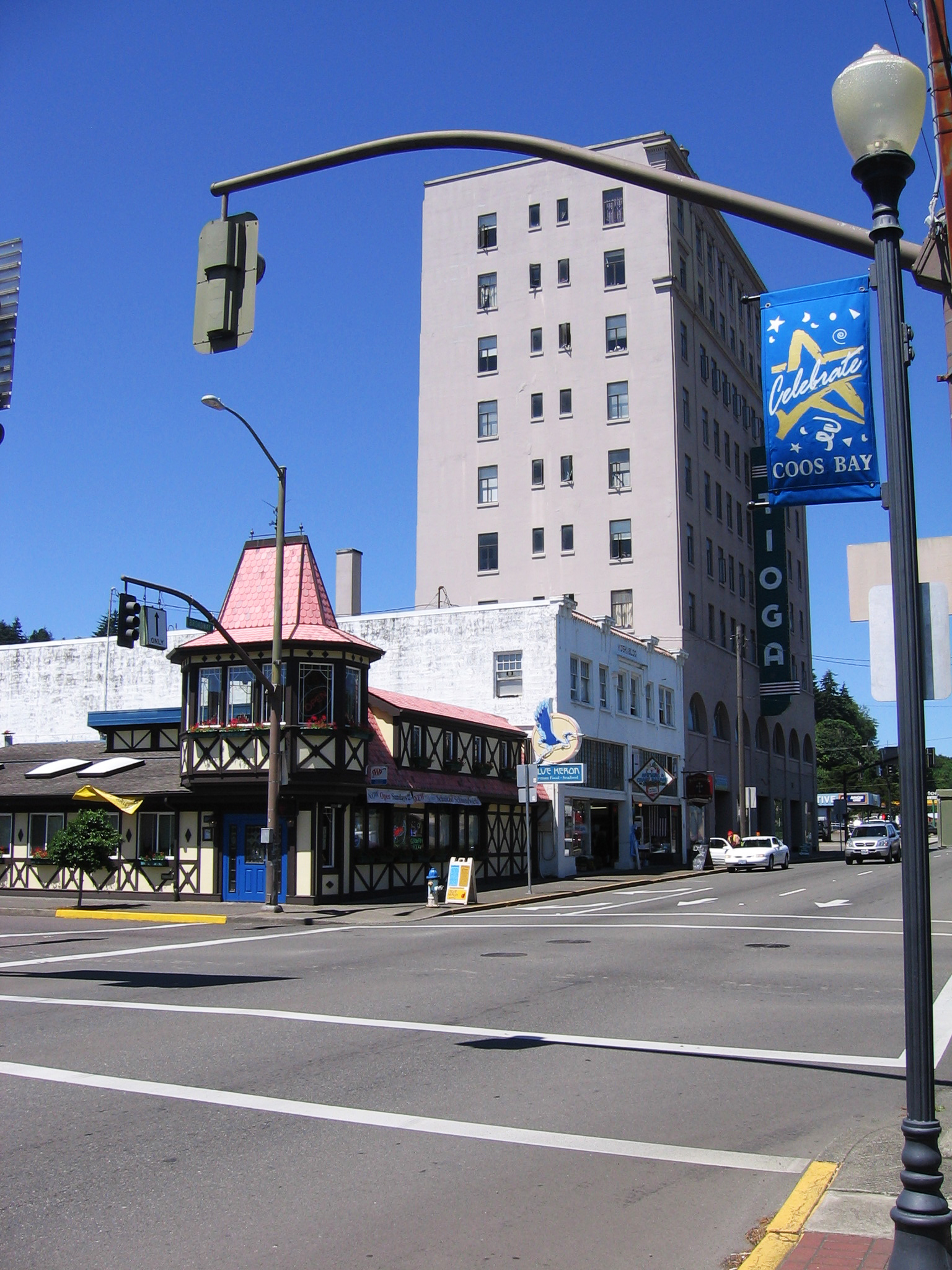
![]()
Coos Bay, at the intersection of Commercial Ave and Highway 101, July 2011.
Courtesy of James V. Hillegas, photographer


Related Entries
-
![City of North Bend]()
City of North Bend
The City of North Bend is located on about five square miles at the nor…
-
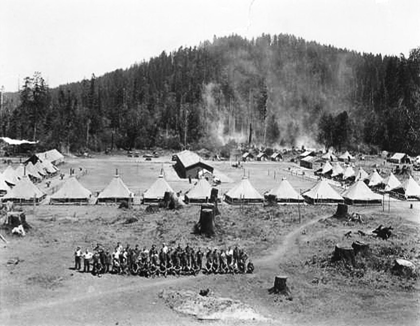
![Civilian Conservation Corps in Coos County]()
Civilian Conservation Corps in Coos County
From 1933 to 1942, Civilian Conservation Corps (CCC) enrollees in Coos …
-
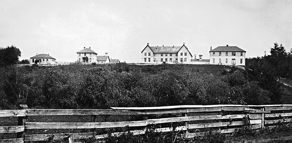
![Coast Indian Reservation]()
Coast Indian Reservation
Beginning in 1853, Superintendent of Indian Affairs Joel Palmer negotia…
-
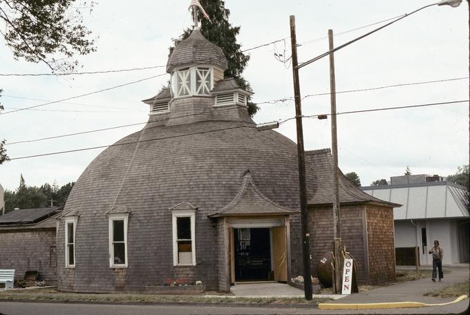
![Coos County Logging Museum]()
Coos County Logging Museum
Coos County’s Logging Museum in Myrtle Point is easily recognized by it…
-
![Coos History Museum]()
Coos History Museum
The Coos History Museum, operated by the nonprofit Coos County Historic…
-
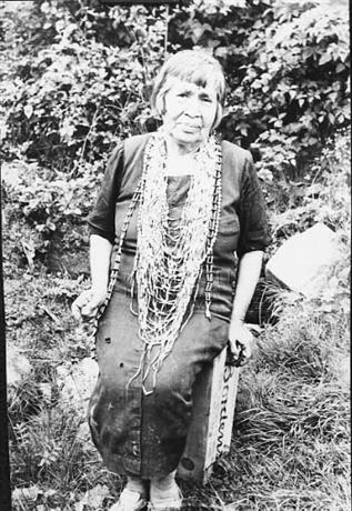
![Hanis Coos (Kowes)]()
Hanis Coos (Kowes)
The Hanis (hanıs) people lived in villages along Coos Bay, Coos River, …
-
![Miluk]()
Miluk
Miluk was one of two related languages spoken by people known collectiv…
-
![U.S.S. Coos Bay (AVP-25) / U.S.C.G.C. Coos Bay (WHEC-376)]()
U.S.S. Coos Bay (AVP-25) / U.S.C.G.C. Coos Bay (WHEC-376)
The U.S.S. Coos Bay served with both the U.S. Navy (1942-1946) and the …


Related Historical Records
Map This on the Oregon History WayFinder
The Oregon History Wayfinder is an interactive map that identifies significant places, people, and events in Oregon history.
Further Reading
Douthit, Nathan. The Coos Bay Region, 1890-1944: Life on a Coastal Frontier.
Robbins, William G. Hard Times in Paradise: Coos Bay, Oregon.