


Dead Indian Road is one of the oldest trans-Cascade travel routes in southern Oregon, connecting Ashland and the Rogue River Valley with the Upper Klamath Basin to the east. The road crosses the headwaters of Dead Indian Creek (now renamed Latgawa Creek) a short distance west of Dead Indian Road’s junction with the much newer county road, which heads south to Howard Prairie Reservoir. In the 1990s, Jackson County decided to change the name to Dead Indian Memorial Road, but controversy over the name continues.
The now rarely used place name "Dead Indian Prairie," the source of the road’s name, dates to 1855. One origin story of that name holds that armed White settlers killed Indians there, but there is no evidence to support that account. Neither does the name derive from General Phillip Sheridan’s infamous statement that “the only good Indian is a dead Indian.”
The actual origin of the name is told in various accounts by settlers and members of a local militia. Upon reaching a meadow between Little Butte and Jenny Creeks, army volunteers found a camp with two Native men (along with a great deal of rustled beef that was being dried over fires). The soldiers guessed the men had been shot to death by members of another band, an assumption supported by later communications with local Native people and other militiamen.
Dead Indian Memorial Road was originally built in the late 1850s as a wagon road from the Ashland side of the valley to as far east as Lost Prairie, near the Jackson/Klamath county line. In 1870, Klamath Reservation Indian Agent O.C. Applegate and his crew of Klamath Indians built the stretch of road from Lost Prairie east to the eastern base of the mountains and the Wood River Valley. There it linked with an existing road across the valley to Fort Klamath and Klamath Agency.
With that important connection to the east, Ashland's economy benefited greatly during the late nineteenth century. After Crater Lake began to attract tourists in the 1880s and 1890s, people would get off the train in Ashland and hire a wagon driver to take them over Dead Indian Memorial Road and up Mount Mazama, where they climbed the last few miles for a stunning view of the lake. From there, they followed the 1860s military wagon road down to the Rogue River Valley and looped back to Ashland. Both John Muir and Gifford Pinchot made that trip.
During the twentieth century, with development of straighter routes over the mountains from Medford (Highways 62, 230, and 140), the use of the road declined. It was rerouted to avoid steep side slopes in favor of draws and gentle ridge crests, and parts of it are now as much as a fifth of a mile away from the original road. It is now a country road maintained by Jackson and Klamath Counties.
Following a generally east-west route over the summit of the southern Cascade Range, the road passes through miles of forestland and provides brief views of Mount McLoughlin. At its western end, Dead Indian Memorial Road begins at its junction with Highway 66, just outside Ashland; at its east end, the road junctions with Highway 140 at Lake of the Woods.
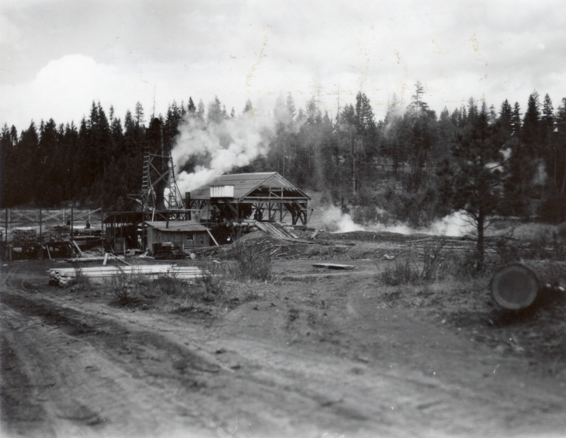
From the 1950s through the 1980s, countless log trucks used Dead Indian Memorial Road to haul loads to mills on either side of the mountains. Residential development and recreation sites such as the Howard Prairie Reservoir account for much of the traffic today. Now that the combined route of Dead Indian Memorial Road and the more recently paved Clover Creek Road provide the shortest driving distance between Ashland and Klamath Falls, however, it has once again become a popular travel route.
-
![Wooding's Wall, west side of Dead Indian Creek, 1968.]()
Dead Indian Creek, Woodings Wall, 1968.
Wooding's Wall, west side of Dead Indian Creek, 1968. Historical Records Collec. of the Rogue River Nat'l Forest (Southern Oreg. Univ. Hannon Libr.), RRNF01i_W533_2
-
![White Fir Mill, north of Dead Indian Road, about 1945.]()
Dead Indian Rd, lumber mill, ca 1945.
White Fir Mill, north of Dead Indian Road, about 1945. Historical Records Collec. of the Rogue River Nat'l Forest (Southern Oreg. Univ. Hannon Libr.), RRNF01i_W258_3

Related Entries
-
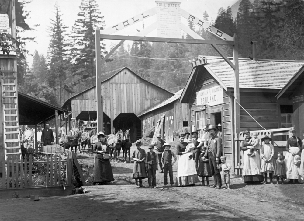
![Ashland]()
Ashland
Ashland, a city of 21,360 people in Jackson County, is situated in the …
-
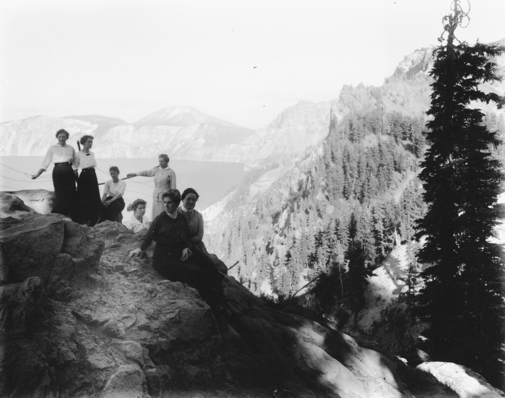
![Crater Lake National Park]()
Crater Lake National Park
Crater Lake National Park, which the U.S. Congress set aside in 1902, i…
-
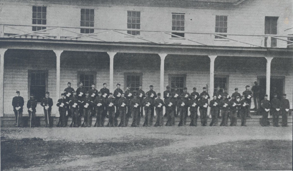
![Fort Klamath]()
Fort Klamath
During the Civil War era, tens of thousands of people immigrated to the…
-
![Mount Mazama]()
Mount Mazama
Mount Mazama is located in the southern part of the Cascade Range, abou…

Related Historical Records
Map This on the Oregon History WayFinder
The Oregon History Wayfinder is an interactive map that identifies significant places, people, and events in Oregon history.
Further Reading
McArthur, Lewis L. Oregon Geographic Names (7th ed.). Portland: Oregon Historical Society Press, 2003.
Smith, Thomas. Biography and Brief Sketches of Early Incidents and Beginning of the Wars of 1853 and 1855 with the Rogue River Indians. Bancroft Library MS P-A94, 1885.