The Illinois Valley Soil and Water Conservation District (IVSWCD), established on December 13, 1949, covers the Illinois River watershed in Josephine County. The 75-mile-long Illinois River rises in California, flows northwest through its 628,000-acre watershed (most of it in Oregon), and discharges into the Rogue River.
The watershed supports diverse native plant species, including 20 conifer trees, 29 broadleaved trees, and scores of rare endemic wildflowers. The watershed elevations range from 7,055 feet on Grayback Mountain to 380 feet at the mouth of the Illinois River near Agness. The valley floor sits at from 1,200 to 1,600 feet, and the average annual precipitation varies from 40 to 160 inches.
The district is one of 45 SWCDs chartered under the Oregon Department of Agriculture (ORS 568) to protect the state's renewable natural resources. In 1994, Josephine County combined the IVSWCD with the Illinois Valley Watershed Council (IVWC) under “The Oregon Plan for Salmon and Watersheds” (ORS 541.388). In addition to its other responsibilities, the IVSWCD manages the 172-acre Thompson Creek Woodland Conservation Tract, along with other projects funded by federal, state, and private grants. The IVSWCD and IVWC are now administratively separated, but remain close partners.
The IVSWCD covers 524,000 acres, 80 percent in public and 20 percent in private ownership. The watershed is 89 percent forested, and 8 percent is used for agriculture (including about 12,000 acres with irrigation water rights). With a relatively small area claimed by water rights (2 percent), arable soils are at a premium, since water is not limiting. Most of the valley's soil contains gravels, cobbles, and stones derived from granitic bedrock to the east and ultramafic bedrock to the west.
Land use in the district includes logging, livestock ranches, pastures, vineyards, orchards, row crop and truck farms, mining, public parks, the Wild and Scenic Illinois River, and the Red Buttes and Kalmiopsis Wilderness Areas. The 2010 census reported a population in the IVSWCD of about 9,600 with most people living in Cave Junction, Selma, O’Brien, Kerby, Holland, and Takilma.
The Illinois Basin presents several land-use challenges in the twenty-first century, including water quantity and quality, soil conditions, invasive species, endangered species, and the threatened coho salmon. The IVSWCD is responding to those concerns by planting trees, testing wells and assessing groundwater, replacing irrigation ditches with pipelines, monitoring streams, and stabilizing stream banks. As a result of those efforts, salmon habitat is improving and irrigation is more efficient.
-
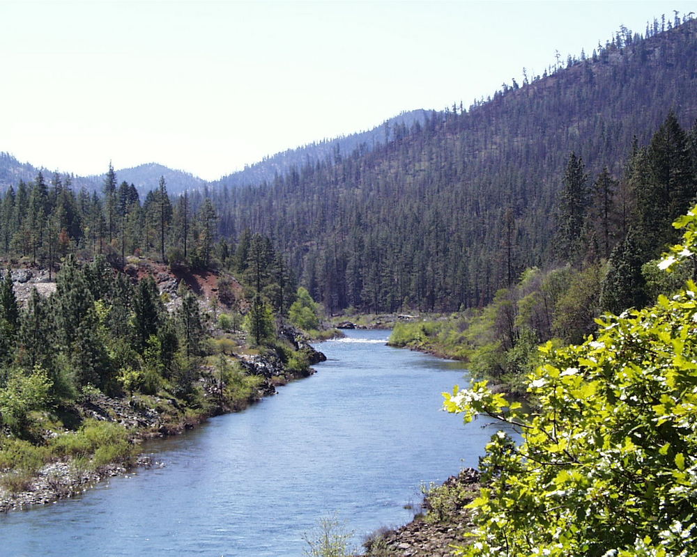
![Main stem of the Illinois River.]()
Illinois River.
Main stem of the Illinois River. Phot by Gordon Lyford
Related Entries
-
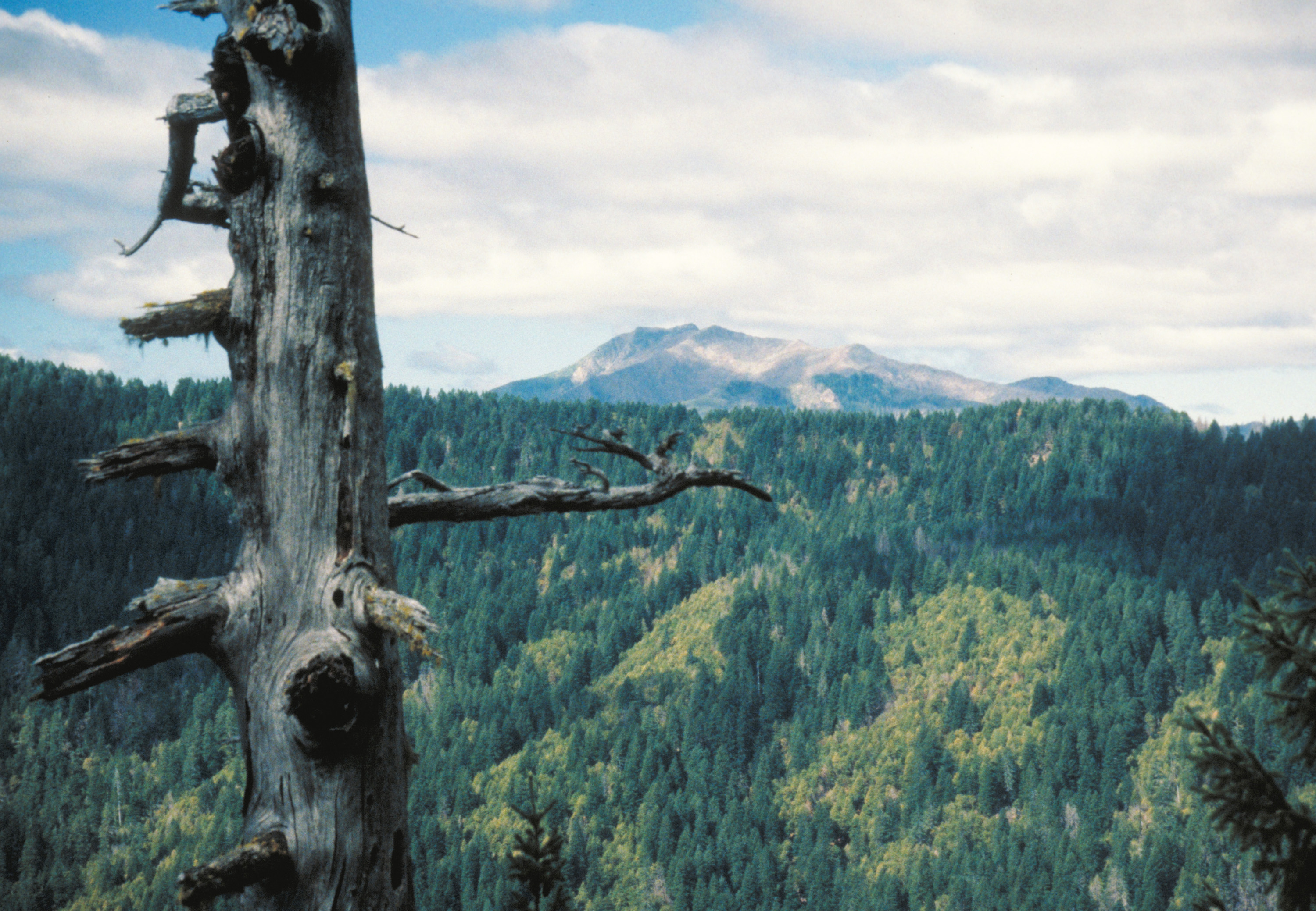
![Kalmiopsis Wilderness]()
Kalmiopsis Wilderness
The 179,850-acre Kalmiopsis Wilderness, located in southwestern Oregon …
-
![National Wild and Scenic Rivers in Oregon]()
National Wild and Scenic Rivers in Oregon
The world's first and most extensive system of protected rivers began w…
-
![Rogue River]()
Rogue River
The Rogue River, Oregon’s third-longest river (after the Columbia and W…
Map This on the Oregon History WayFinder
The Oregon History Wayfinder is an interactive map that identifies significant places, people, and events in Oregon history.
Further Reading
Josephine Board of County Commissioners. “Resolution 94-27,” April 6, 1994.
Oregon Soil and Water Conservation District. Guidebook. Salem: Oregon Department of Agriculture, 2007.
Soil Survey of Josephine County, Oregon. U.S. Department of Agriculture, Soil Conservation Service, December 1983.