Located just south of Cave Junction and a few miles north of the California state line, the town of Waldo grew out of a large gold-mining settlement first known as Sailor's Diggings. The area was settled in 1852 by sailors who jumped ship in Crescent City, California, and discovered gold on their way to the goldfields in Jacksonville. By 1854, an eleven-mile ditch (constructed by a consortium called Sailors Diggings Water, Mining, and Milling Company) was bringing water to several gulches in the area, and mining activities expanded.
Sailor's Diggings was named the first county seat of Josephine County in 1856. The town was later named Waldo in honor of William Waldo, the Whig Party candidate for governor of California. In 1853, Waldo had campaigned in Sailor's Diggings, mistakenly believing the town to be part of California. Official records noted that the names Sailor Diggings and Waldo were used interchangeably.
In August 1856, the first county court was held in a log cabin at Sailor's Diggings, with Judge Matthew P. Deady at the bench. In September, the first post office was established under the name of Waldo. By the late 1850s, the town boasted several hotels, a number of saloons, a school, a boarding house, blacksmith shops, a livery stable, a butcher shop, a bowling alley, a cemetery, and a brewery. The town's population, which may have swelled to hundreds at the height of mining activity, declined when gold was discovered elsewhere. The county seat and population center subsequently moved to nearby Kerbyville.
Hydraulic mining continued in the area for another sixty years. In 1926, the Redwood Highway, which circumvented the town, was completed; the post office closed two years later. Soon after, the townsite itself was hydraulically mined, with main street "being run through a sluice box." Waldo is now considered a ghost town.
-
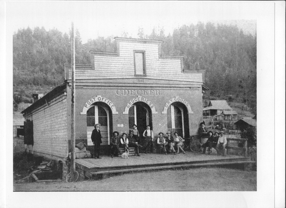
Waldo Store.
Josephine County Historical Society
-
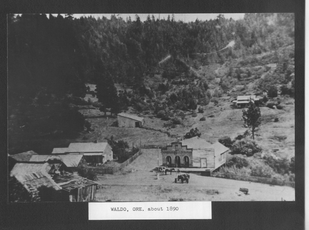
City of Waldo, c. 1890.
Josephine County Historical Society
Related Entries
-
Kerbyville
Kerbyville was named after James Kerby (or Kirby), who filed his origin…
-
![Matthew Deady (1824-1893)]()
Matthew Deady (1824-1893)
Matthew Paul Deady was a lawyer, politician, and judge in the Oregon Te…
Related Historical Records
Map This on the Oregon History WayFinder
The Oregon History Wayfinder is an interactive map that identifies significant places, people, and events in Oregon history.
Further Reading
Diller, J. S. Mineral Resources of Southwestern Oregon, Bulletin 546.Washington, D.C.: Government Printing Office, 1914.
McArthur, Lewis A., and Lewis L. McArthur. Oregon Geographic Names. 7th ed. Portland: Oregon Historical Society Press, 2003.
Street, Willard, and Street, Elsie. Sailors Diggings. Wilderville Press, 1973.


