Media Collection: Fort Vancouver 1
-
![]()
Early sketch of Fort Vancouver.
Courtesy Oreg. Hist. Soc. Research Library, OrHi73712
-
![From the Boundary Commission Survey, 1860-1861. Photo from the Royal Engineers Library in Kent, England.]()
Fort Vancouver, c.1860.
From the Boundary Commission Survey, 1860-1861. Photo from the Royal Engineers Library in Kent, England. Courtesy Oreg. Hist. Soc. Research Library, Lot 556
-
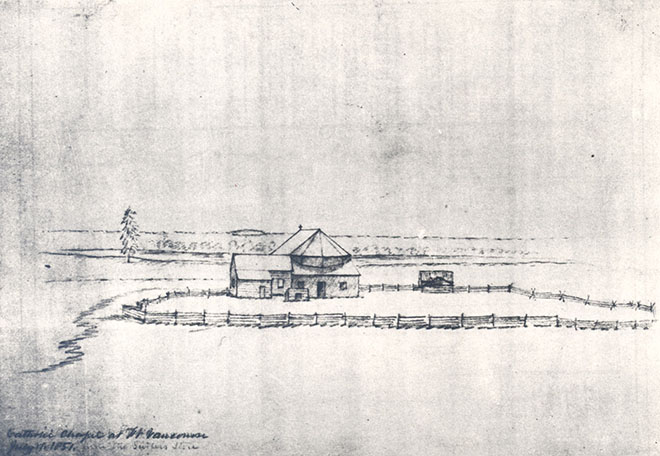
![An early sketch of the Catholic chapel, drawn by George Gibbs]()
Fort Vancouver, 1851.
An early sketch of the Catholic chapel, drawn by George Gibbs Courtesy Oreg. Hist. Soc. Research Library, OrHi4288
-
![An early sketch of the fort by R. Covington]()
Fort Vancouver, 1855.
An early sketch of the fort by R. Covington Courtesy Oreg. Hist. Soc. Research Library, 13261
-
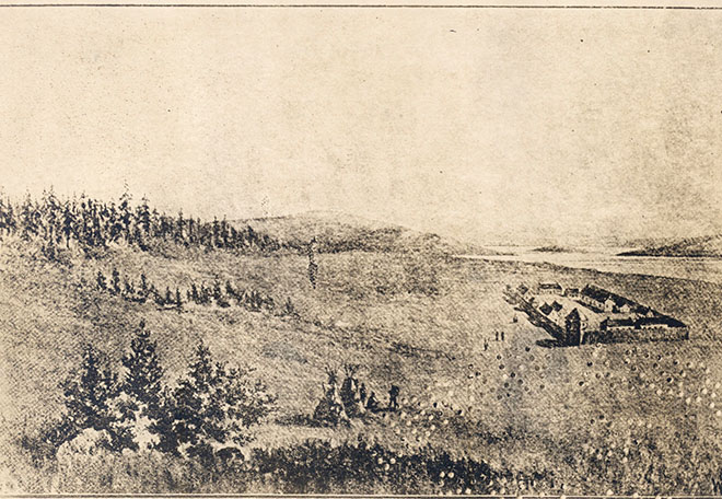
![]()
Fort Vancouver, 1833.
Courtesy Oreg. Hist. Soc. Research Library, 63123
-
![Sketch by H.J. Warre]()
Fort Vancouver, 1848.
Sketch by H.J. Warre Courtesy Oreg. Hist. Soc. Research Library, OrHi83437
-
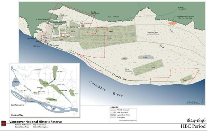
![A National Park Service map of Fort Vancouver during the Hudson's Bay Co. period, 1824-1846.]()
Map of Fort Vancouver.
A National Park Service map of Fort Vancouver during the Hudson's Bay Co. period, 1824-1846. Courtesy National Park Service
-
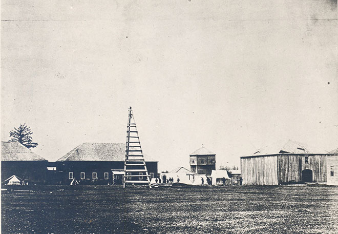
![View of the northwest corner]()
Early photo of Fort Vancouver.
View of the northwest corner Courtesy Oreg. Hist. Soc. Research Library, OrHi5190
-
![]()
Fort Vancouver, 1854.
Courtesy Oreg. Hist. Soc. Research Library, CN008519
-
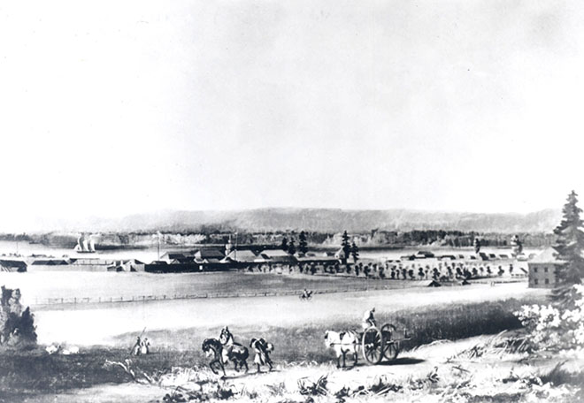
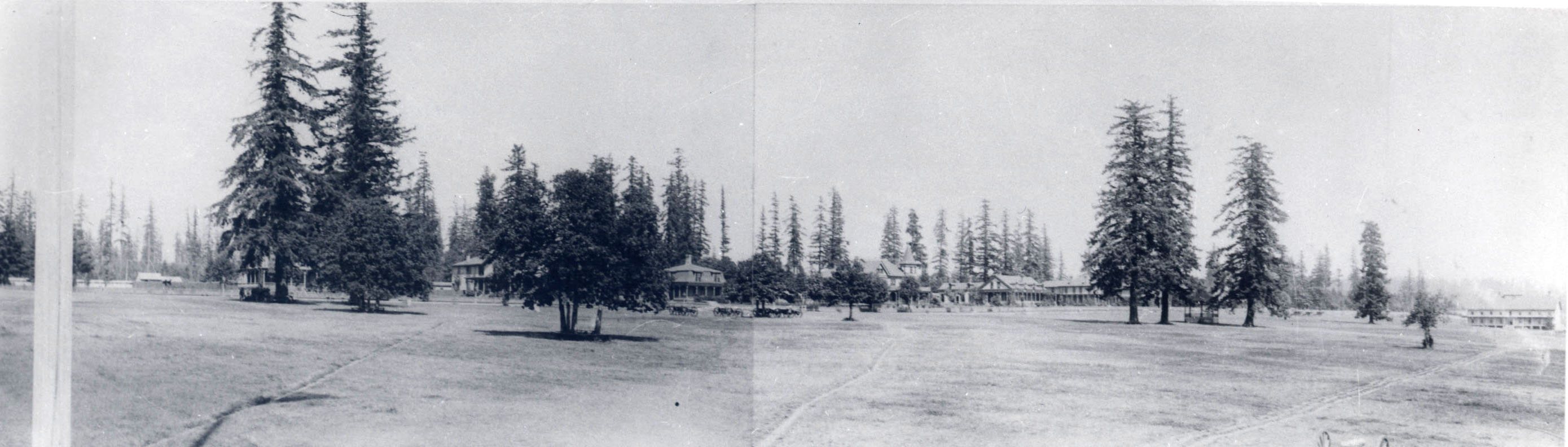
![]()
Fort Vancouver, panorama.
Courtesy Oreg. Hist. Soc. Research Library, 52295
-
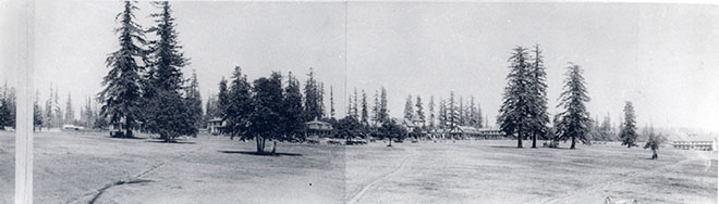
![]()
Fort Vancouver, panorama.
Courtesy Oreg. Hist. Soc. Research Library, 52295