Media Collection: High Desert 2
-
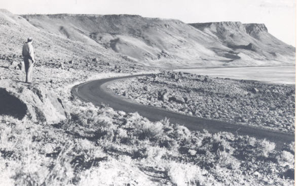
![Abert Rim]()
Abert Rim.
Abert Rim Courtesy Oreg. Hist. Soc. Research Lib., neg. no.000415
-
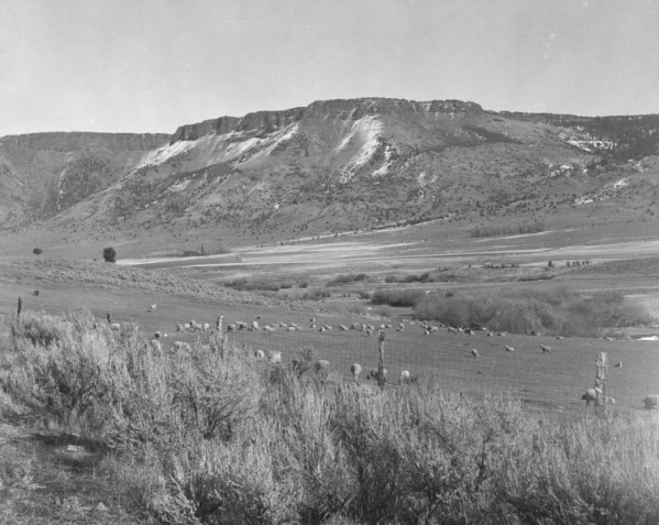
![Abert Rim, 1940]()
Abert Rim, 1940.
Abert Rim, 1940 Courtesy Oregon State Univ. Archives, P089:316
-
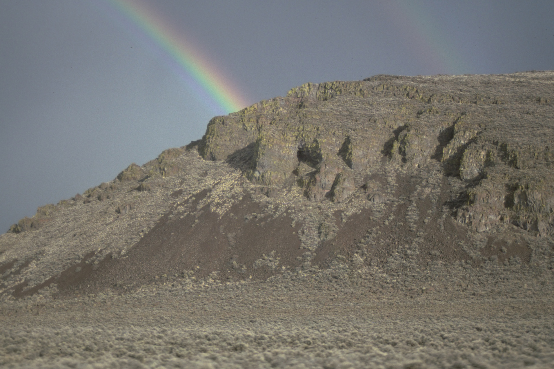
![Rainbow over Catlow Rim.]()
Catlow Rim, rainbow.
Rainbow over Catlow Rim. U.S. Bureau of Land Mgmt., Burns Distr., Burnscd2L-012
-
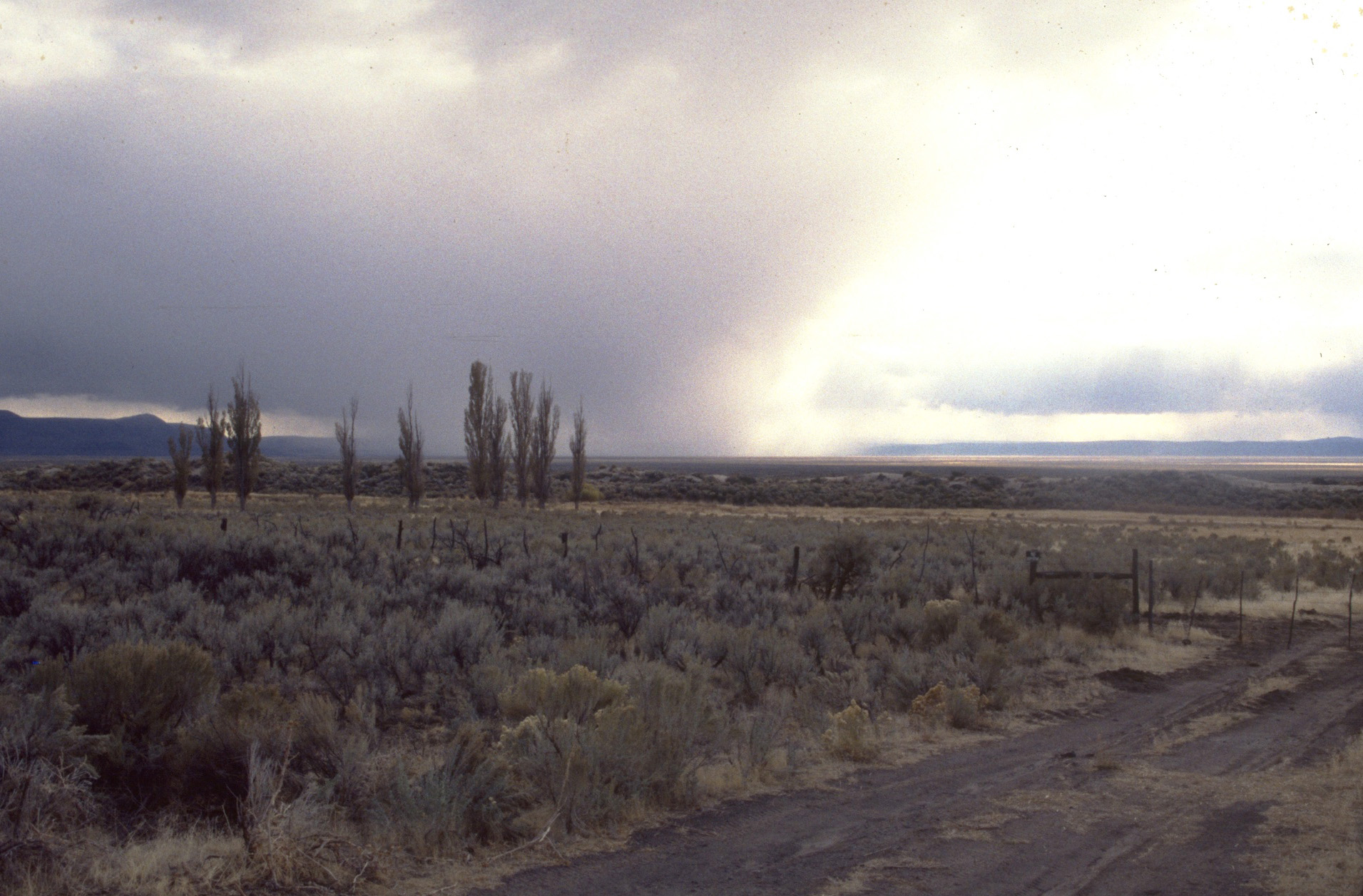
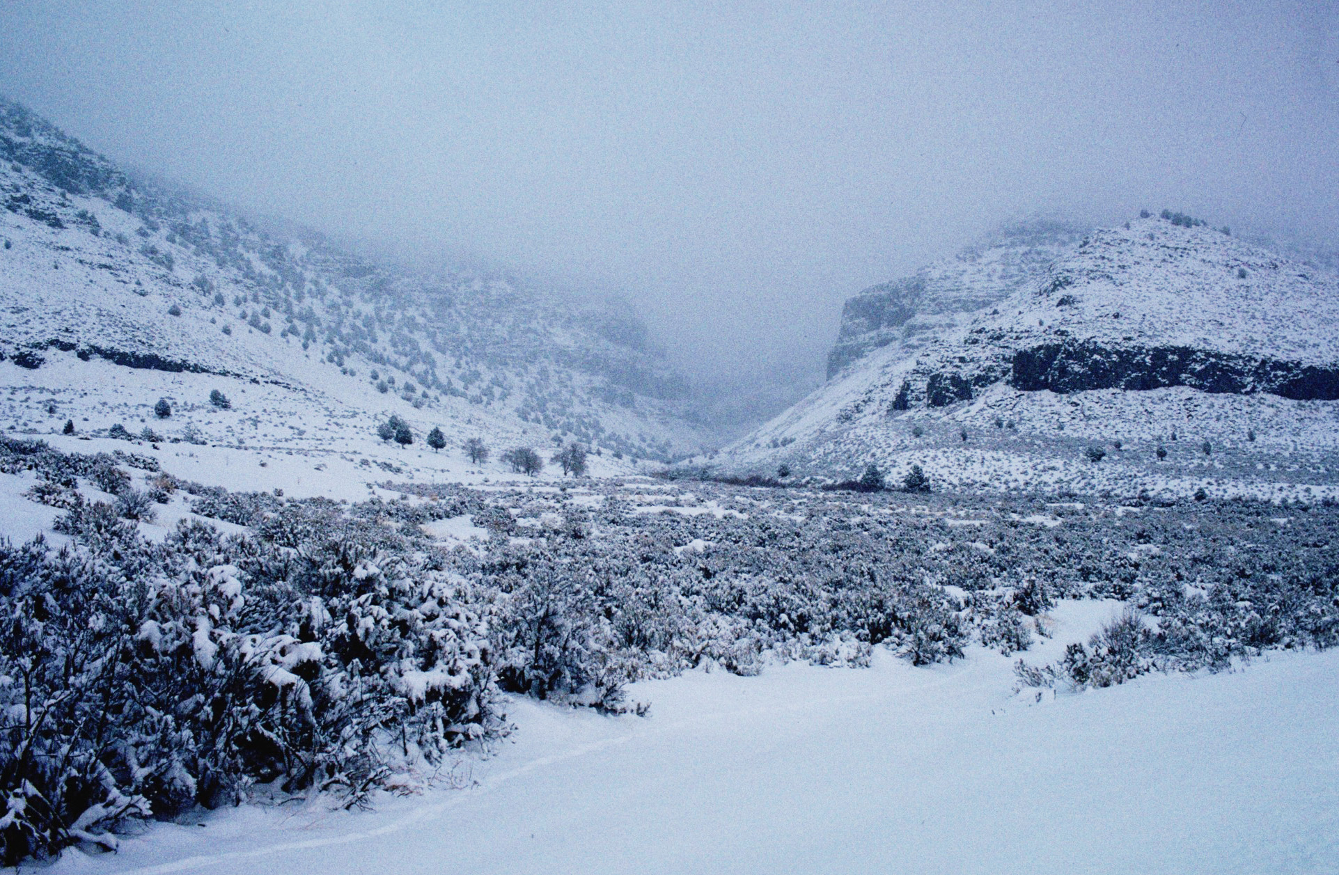
![Storm in south Catlow Valley.]()
Catlow Valley, storm.
Storm in south Catlow Valley. U.S. Bureau of Land Mgmt., Burns Distr., Burnscd2L-001
-
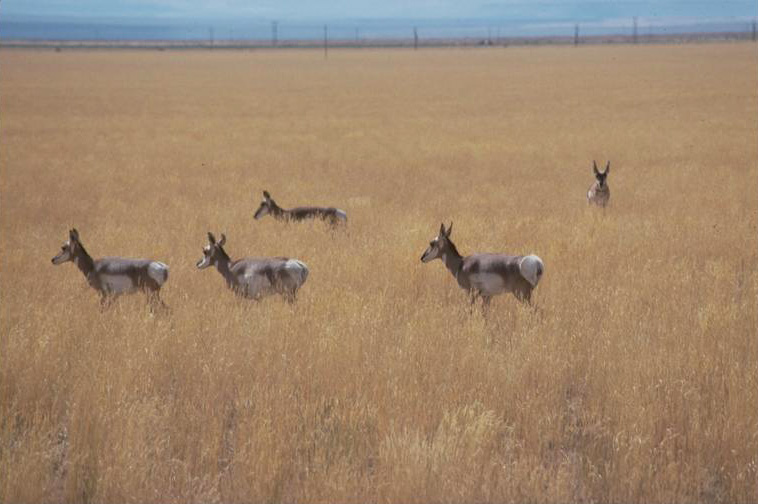
![Pronghorn antelope in Catlow Valley.]()
Catlow Valley, antelope.
Pronghorn antelope in Catlow Valley. U.S. Bureau of Land Mgmt., Burns Distr., Burnscd2L-039
-
![Looking up Little Blitzen Gorge with Catlow Valley in background.]()
Catlow Valley, Little Blitzen 2.
Looking up Little Blitzen Gorge with Catlow Valley in background. U.S. Bureau of Land Mgmt., Burns Distr., Steenscd1L-040
-
![Bottom of Little Blitzen Gorge, Catlow Valley.]()
Catlow Valley, Little Blitzen 1.
Bottom of Little Blitzen Gorge, Catlow Valley. U.S. Bureau of Land Mgmt., Burns Distr., Burnscd2L-027
-
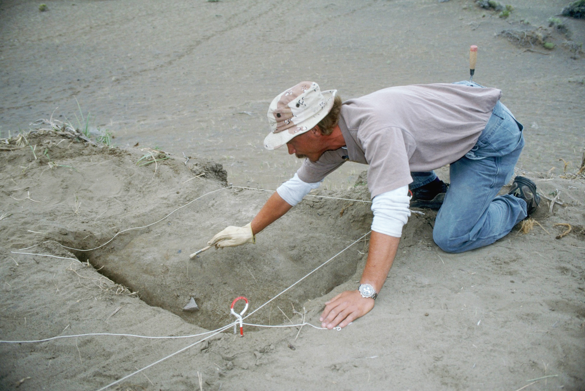
![Archaeological excavation at Skull Creek Dunes site in Catlow Valley.]()
Catlow Valley, archy.
Archaeological excavation at Skull Creek Dunes site in Catlow Valley. U.S. Bureau of Land Mgmt., Burns Distr., BURNSCD1L-051
-
![Catlow Valley looking up Home Creek Canyon.]()
Catlow Valley, Home Creek 1.
Catlow Valley looking up Home Creek Canyon. U.S. Bureau of Land Mgmt., Burns Distr., Steenscd1L-013