Media Collection: Willamette Valley Treaties 1
-
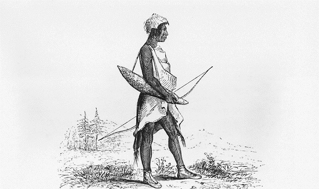
![]()
"Costume of a Callapuya Indian," 1841, by Alfred T. Agate.
Courtesy Oreg. Hist. Soc. Research Lib., OrHi 104921
-
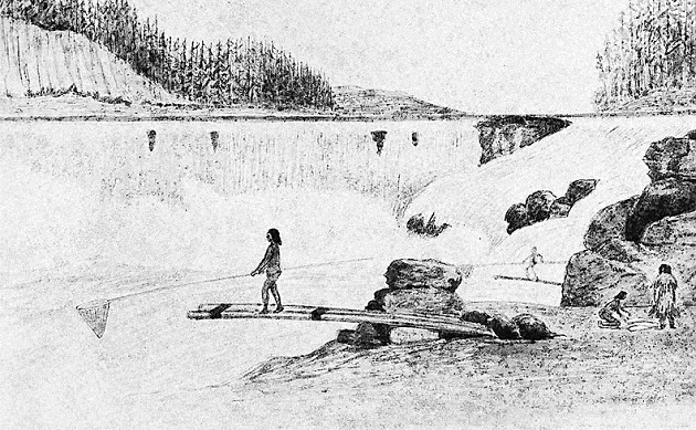
![Indians Fish at Willamette Falls, 1841. OrHi 46193]()
Indians Fish at Willamette Falls, 1841..
Indians Fish at Willamette Falls, 1841. OrHi 46193 Courtesy Oreg. Hist. Soc. Research Lib., OrHi 46193
-
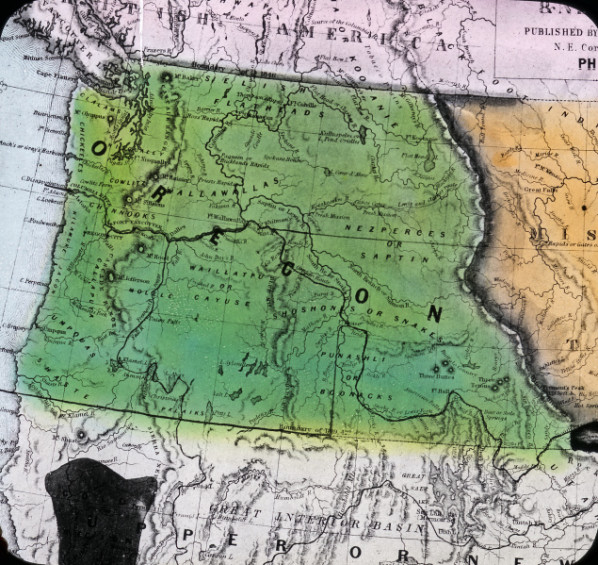
![Map of Oregon Territory, 1848]()
-
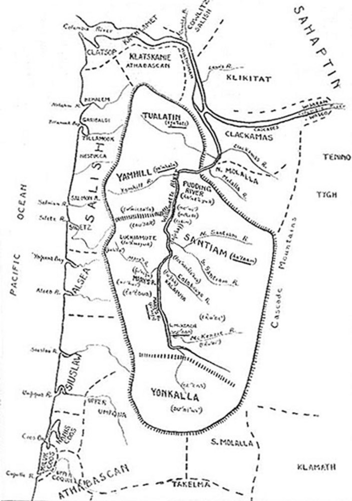
![]()
"The Kalapuya Communities" map, c. 1850.
Center for Columbia River History
-
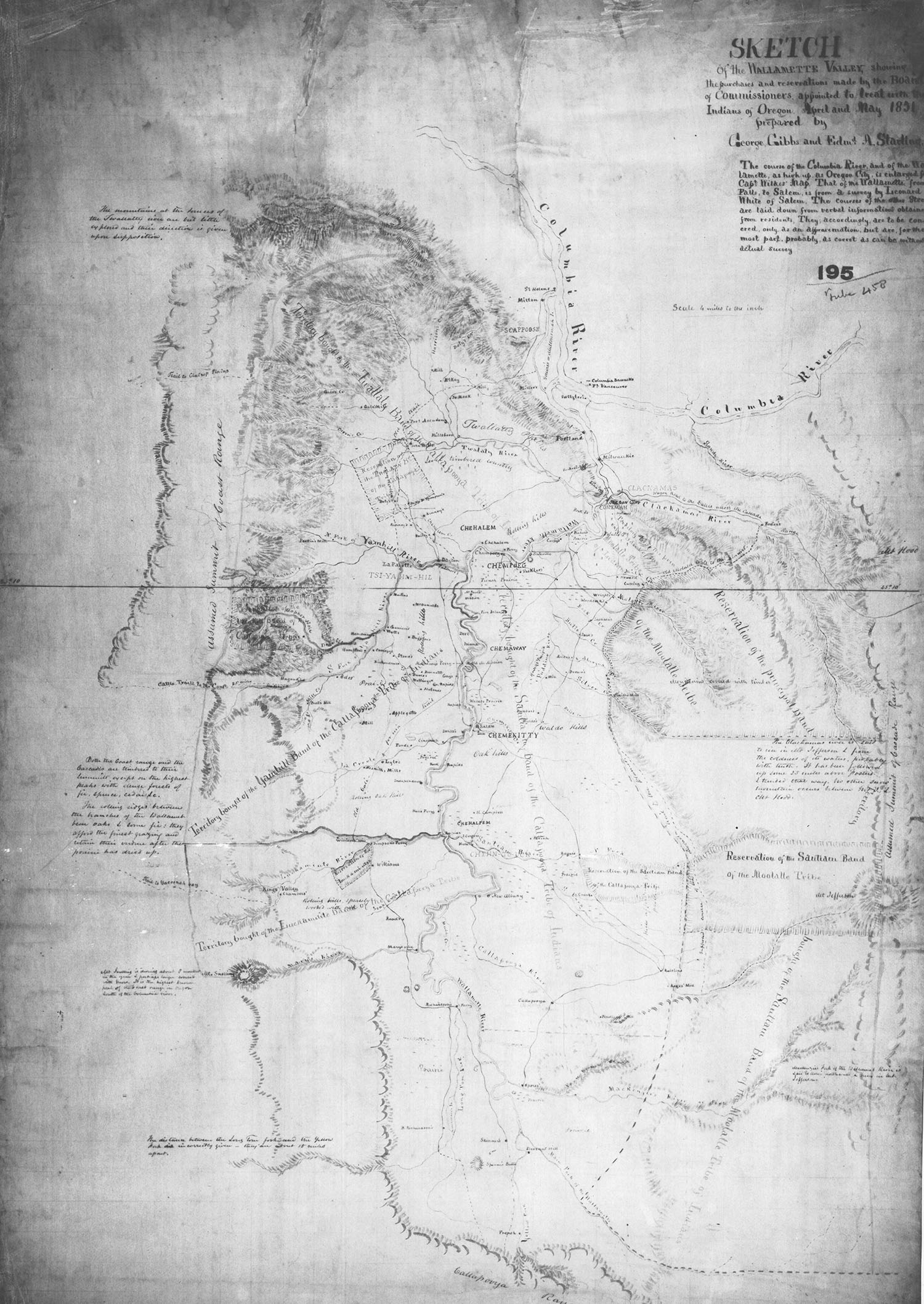
![Map of land purchases and reservations negotiated by Board of Commissioners]()
Sketch of the Wallamette Valley, George Gibbs and Edmund Starling, 1851.
Map of land purchases and reservations negotiated by Board of Commissioners Courtesy Oregon State University Special Collections and Archives Research Center, Corvallis -
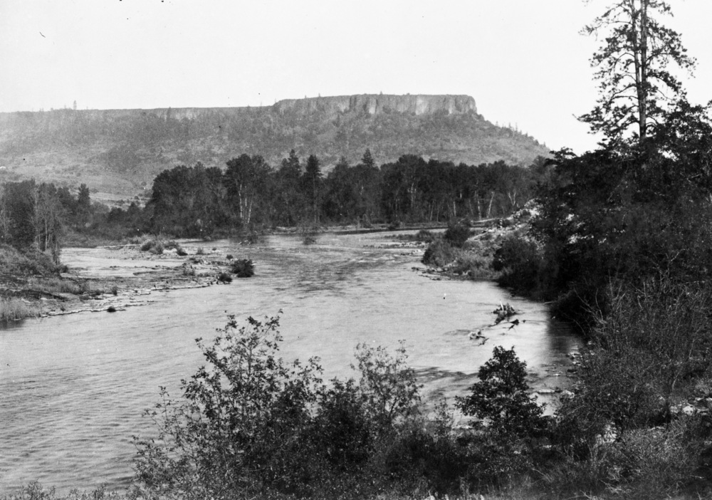
![]()
Table Rock rises above the Rogue River in Jackson County, 1887.
Photo by W. W. Bretherton, courtesy Oreg. Hist. Soc. Research Lib., bb006120
-
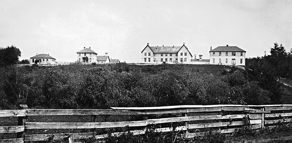
![U.S. Government buildings at Siletz Agency.]()
Siletz Agency, bb006476, 1.
U.S. Government buildings at Siletz Agency. Oreg. Hist. Soc. Research Lib., bb006476
-
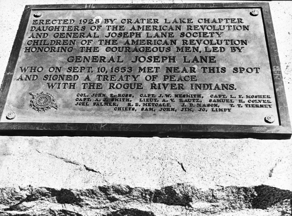
![Plaque commemorating treaty signing near Fort Lane, present day Camp White, Jackson County.]()
Rogue River Treaty plaque, August 1942.
Plaque commemorating treaty signing near Fort Lane, present day Camp White, Jackson County. Oreg. Hist. Soc. Research Lib., bb004075
-
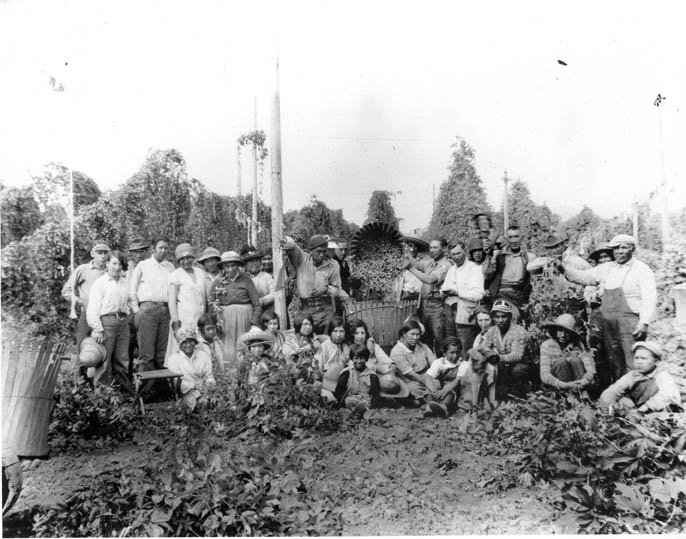
![Hop pickers]()
-
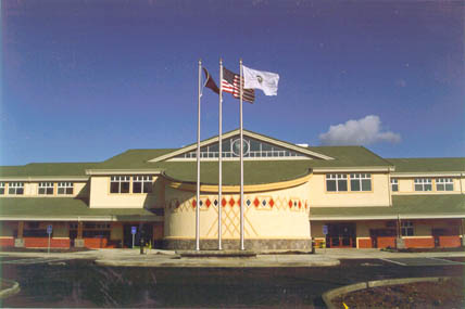
![]()
Closeup of the Grand Ronde Governance Building.
Courtesy Confederated Tribes of the Grand Ronde Community -
![Grand Ronde Governance Building]()
Grand Ronde Governance Building.
Grand Ronde Governance Building Courtesy Confederated Tribes of the Grand Ronde Community
-
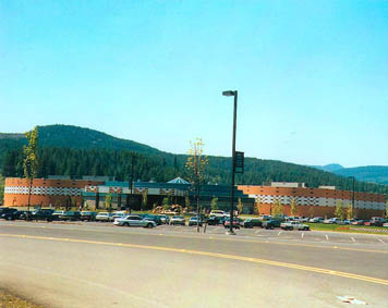
![Spirit Mountain Casino]()
Spirit Mountain Casino.
Spirit Mountain Casino Courtesy Confederated Tribes of the Grand Ronde Community
-
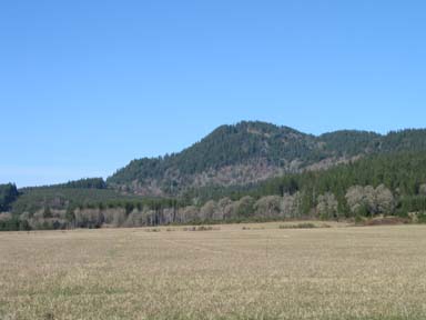
![Spirit Mountain]()
Spirit Mountain.
Spirit Mountain Courtesy Confederated Tribes of the Grand Ronde Community