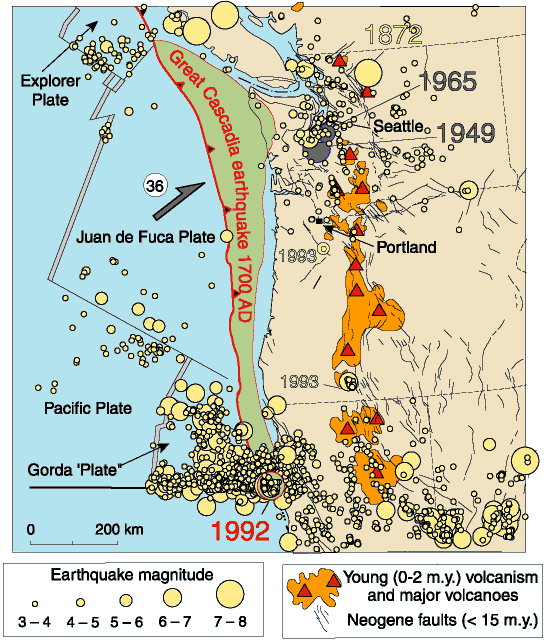
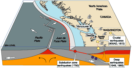
Sometime in the future, the Pacific Northwest, including Oregon, Washington, Vancouver Island, and northern California, will experience a devastating earthquake as large as magnitude 9—the same magnitude as an earthquake in coastal northeast Japan in 2011 in which nearly 16,000 people were killed. The earthquake will rupture the plate boundary between the continental North American tectonic plate and the oceanic Juan de Fuca or Gorda plate.
Earthquakes on the Cascadia Subduction Zone have struck the Northwest offshore for at least 10,000 years. The most recent big Cascadia earthquake occurred on January 26, 1700, dated by accounts from Japan of an orphan tsunami generated by a Cascadia earthquake and recorded after the wave crossed the Pacific Ocean. This earthquake struck the Oregon coast before there were written records in the Pacific Northwest, although there are reports of the event in Native oral tradition.
Evidence for the last Cascadia earthquake in 1700 includes the abrupt subsidence of the coast, which drowned coastal forests in saltwater, preserving only tree roots or, in some cases, ghost forests of dead trees. Offshore deposits at many places are overlain by coarse sands (turbidites) that were shaken loose closer to shore, which allows the turbidites to be dated by radiocarbon.
The Cascadia Subduction Zone has been associated with the eruption of volcanoes, most recently at Mount Lassen in California in 1916 and Mount St. Helens in Washington in 1980. Farther west, in the Coast Range and the Olympic Mountains, the subduction zone has generated smaller ruptures that do not produce strong shaking but that result in the displacement of individual blocks, accompanied by a signal recorded on seismographs. This phenomenon is called "episodic tremor and slip" (ETS). West of the area of ETS, the subduction zone is completely locked, and the buildup of tectonic strain causes the plate boundary to fail catastrophically, producing great earthquakes.
The time of the next earthquake cannot be predicted precisely, primarily because a study of past earthquakes shows a wide variation of recurrence intervals, from a few hundred years to more than a thousand. For this reason, scientists follow weather forecasters and use probability—that is, the likelihood that the next Cascadia earthquake will strike during a given future time interval—to anticipate the event, which generally places it within the next fifty years. Based on past earthquakes, the chance that a magnitude 9 earthquake will strike during this time interval is 10 percent. The chance of a smaller earthquake of magnitude 8-8.4 is 37 percent, greater than one chance in three. Past earthquakes have varied in magnitude, with some at 8.5 or even smaller. Some of the smaller earthquakes have had their epicenters in the southern part of the subduction zone in northern California, including an earthquake of magnitude 7.1 in 1992.
Because scientists are as yet unable to predict when the next great Cascadia earthquake will strike, decision makers and the general public have responded in limited ways to scientists’ calls to prepare for a catastrophic earthquake. Local and state authorities have mandated “duck, cover, and hold on” drills and suggested that the public prepare disaster kits. Tsunami escape routes have been identified, and the Oregon Tsunami Hazard Mitigation Program has put a warning system in place. But bridges built before scientists recognized that the Pacific Northwest has experienced great earthquakes are vulnerable, old buildings of unreinforced masonry construction are likely to collapse, and critical facilities and command centers that have not been strengthened could be unable to respond.
-
![]()
Cascadia Subduction Zone.
Courtesy U.S. Geological Survey
-
![]()
Cascadia Subduction Zone.
Courtesy U.S. Geological Survey
-
![]()
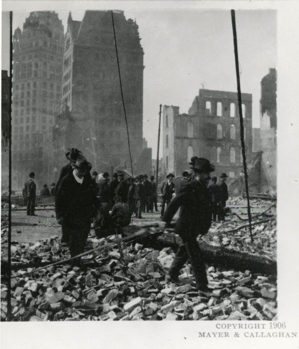
Paving stones split by earthquake, San Francisco, 1906.
Courtesy Oregon Hist. Soc. Research Lib., 0324G041
-
![]()
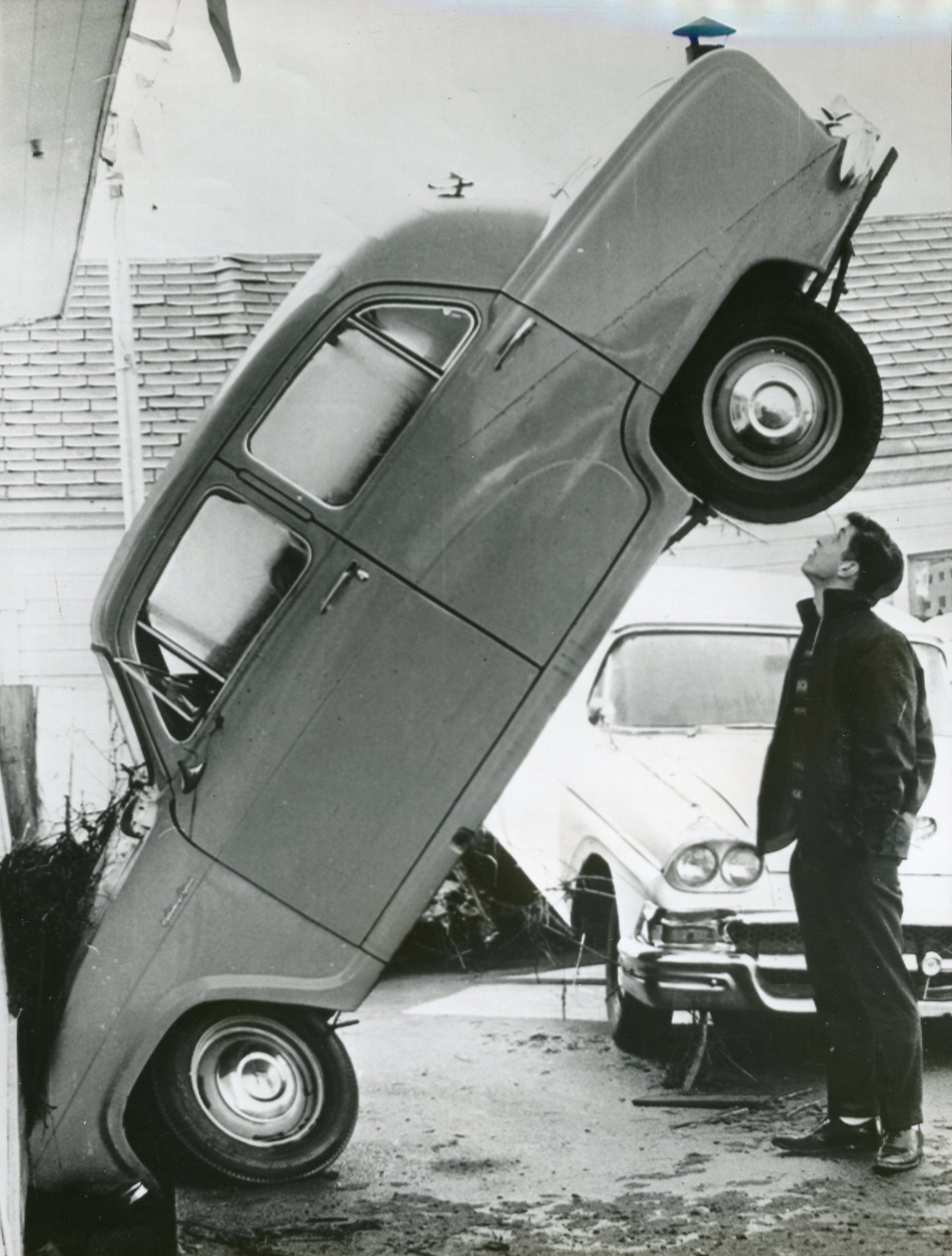
Damage from San Francisco earthquake and fire, 1906.
Courtesy Oregon Hist. Soc. Research Lib., 016561
-
![]()
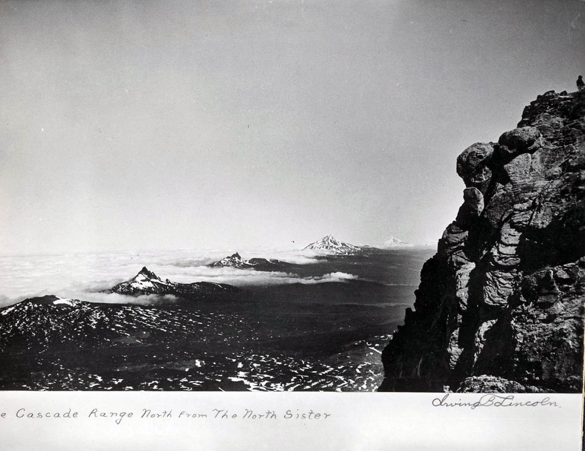
View from North Sister of Mt. Washington, Three-Fingered Jack, Mt. Jefferson, and Mt. Hood.
Courtesy Oregon Hist. Soc. Research Lib., 022265
-
![]()
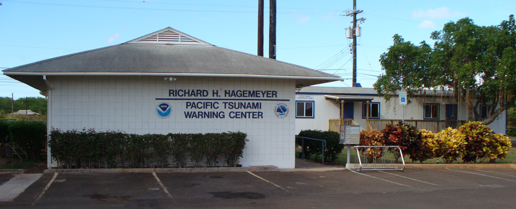
Richard H. Hagemeyer Pacific Tsunami Warning Center on Ewa Beach, Hawaii.
Courtesy National Oceanic Atmospheric Administration
-
![]()
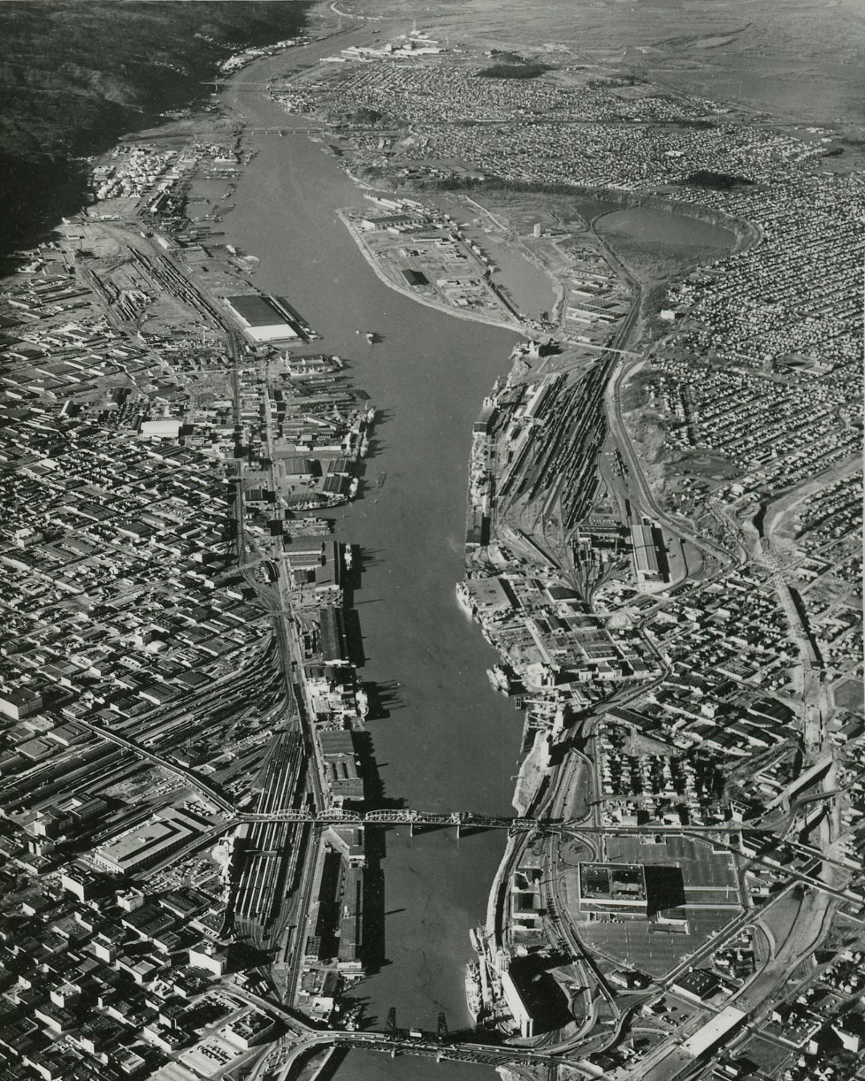
Portland and the Willamette River, c. 1963.
Courtesy Oregon Hist. Soc. Research Lib., 022217

Related Entries
-
![Cascade Mountain Range in Oregon]()
Cascade Mountain Range in Oregon
The Cascade mountain system extends from northern California to central…
-
![Oregon Tsunami Hazard Mitigation Program]()
Oregon Tsunami Hazard Mitigation Program
The National Tsunami Warning System provides advance warning of earthqu…
Map This on the Oregon History WayFinder
The Oregon History Wayfinder is an interactive map that identifies significant places, people, and events in Oregon history.
Further Reading
Yeats, R.S. Living with Earthquakes in the Pacific Northwest, 2nd ed. Corvallis: Oregon State University Press, 2004.
Yeats, R.S. Earthquake Time Bombs. New York: Cambridge University Press, 2015.
Atwater, B.F., et al. The Orphan Tsunami of 1700. Seattle: University of Washington Press and USGS, 2005.
Cascadia Region Earthquake Workgroup (CREW). "Cascadia Subduction Zone Earthquakes: A magnitude 9.0 earthquake scenario," update 2013.
Schulz, Kathryn. "The Really Big One." The New Yorker (July 20, 2015).
"Cascadia Subduction Zone comes into sharper focus with new subsurface map." University of Washington, Department of Earth and Space Sciences. July 3, 2024.