St. Helens is a Columbia River town located eighty-six river miles from the Pacific Ocean. The Columbia County seat since 1857, the city is at the confluence of the river and Multnomah Channel, less than three hundred yards from the northern tip of Sauvie Island. Both Highway 30 and a railroad freight line between Portland and Astoria dissect the town a mile and a half from the river. In the mid-1800s, the location attracted those who sought potential ports along the lower Columbia and the Willamette River.
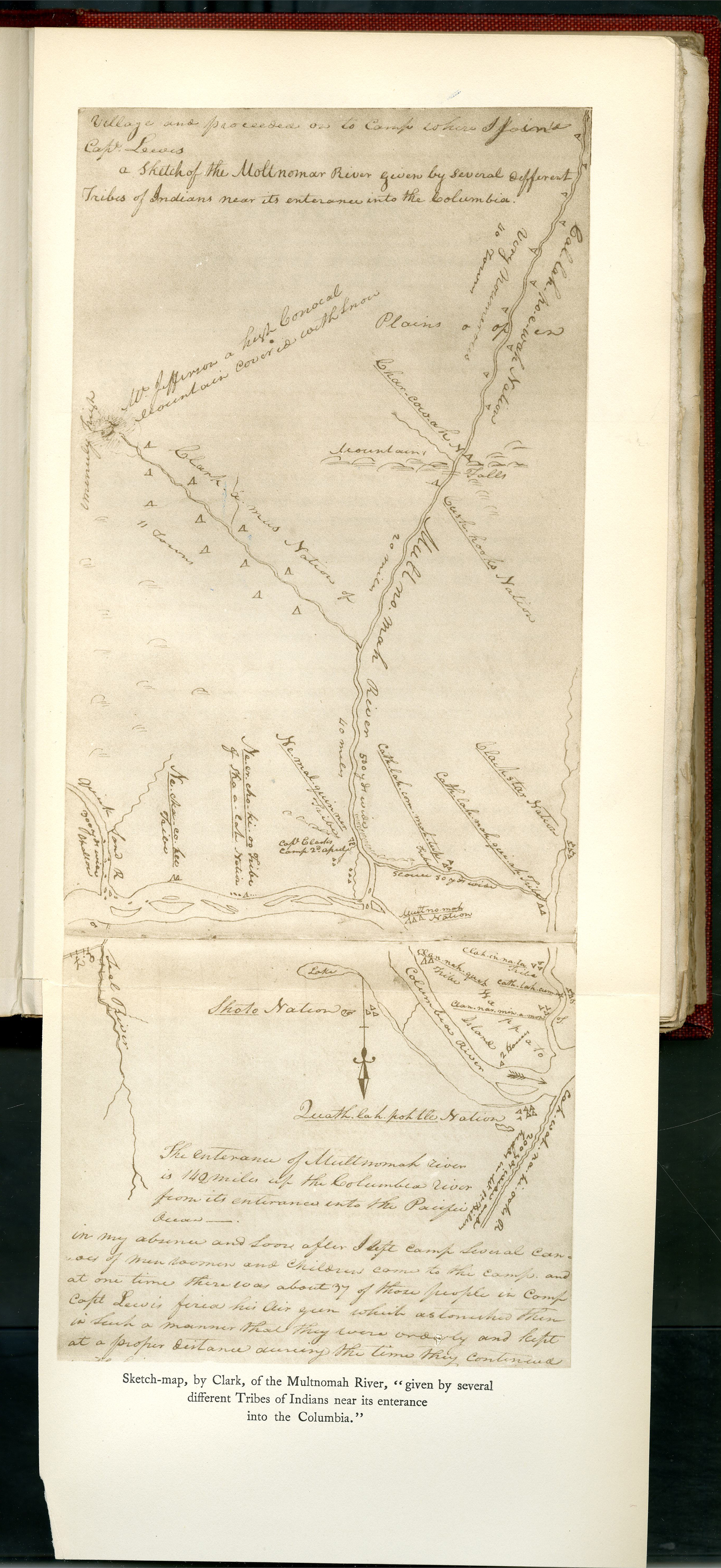
Henry Knighton saw the deep channel along an expansive-rocky ledge with shoreline access, and bought the site in 1847 as part of a 640-acre preemption land claim. Knighton named his town Plymouth and began selling lots. He briefly named the town Kasenau or Casenau for Chinookan Chief Kiesno at about the same time that the chief died in 1848. Kiesno's village had been located on the Multnomah Channel near Knighton's future land claim, but in 1825 he moved to the Columbia, 10 miles downstream from HBC headquarters at Fort Vancouver. Kiesno had developed a friendly relationship with company employees, and the move was made to facilitate mutual trade. Casenau Street in downtown St. Helens survived until streets were renamed in 1929.
By 1850, Knighton had changed the town’s name to St. Helens in recognition of Mount St. Helens, the volcano that dominates the horizon thirty-nine miles to the northeast. In August of that year, businessmen in St. Helens and Milton, a port town nearly two miles up Multnomah Channel, augmented their commercial prospects by opening a trade route over the Tualatin Mountains into the rich wheat-growing land of the Tualatin Plains. Columbia County was predominantly forest, mountains, and hills; and although logs and lumber held sway, aspirations for a major shipping center required abundant agricultural commerce.
The San Francisco-based Pacific Mail Steamship Company, the region's dominant export shipping company, had named St. Helens its head of navigation by 1853. The town appeared to have become a central marketplace for the regional nexus of population and commercial growth. Portland interests, however, advocated for their port on the Willamette River. Within a decade, Portland had wrested the prize from St. Helens by contracting with competing shippers and improving Canyon Road, a backdoor to the Tualatin Valley.
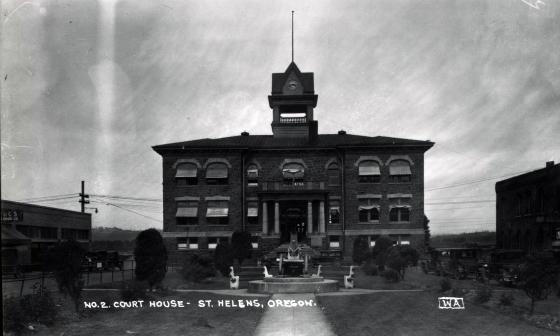
In 1883, the Northern Pacific Railroad completed a line through St. Helens. The event had little initial impact on growth, as river transportation continued to be a mainstay for freight and passenger service. Between 1880 and 1890, the population of St. Helens slightly increased from 209 to 220. The town was incorporated in 1889. Rock was in demand in the early 1900s, and nearby quarries supplied building blocks for the Columbia County courthouse, built in 1906, and cobblestones for Portland streets.
St. Helens and the adjacent town of Houlton merged in 1914, raising the population to 2,500 people. It was the heyday of the timber industry, and the continued operation of companies such as St. Helens Lumber and St. Helens Pulp and Paper enabled the community to endure the worst effects of the Depression.
In 1915, six women formed the St. Helens Woman's Club to establish a library. A large donation from a local family helped complete a new building in 1996, and the library is now funded by the city. Another women's group organized a coalition of volunteers for social organizations and community improvement projects; they won a national community achievement award in 1958.
After World War II, St. Helens relied on timber-industry jobs to sustain its economy. In 1954, the city reached a population of five thousand and embraced its five wood-products companies in promoting itself as a “Payroll City.” The county's old-growth forests disappeared, however, and so did most of the related jobs. In 2020, with an estimated 13,817 residents, St. Helens serves as a net exporter of employees to other towns and cities in the Portland Metro area.
St. Helens maintains twelve parks, including Columbia View Park on the river next to the old courthouse, where concerts are a regular summer attraction. In 2015, the city bought just over twenty acres of riverfront adjacent to the park. A mixed-use development is projected for the property, with an emphasis on public access to the Columbia River to complement the adjacent St. Helens Downtown Historic District.
-
![]()
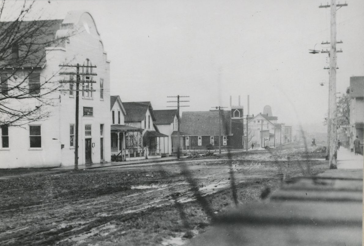
Downtown St. Helens; City Hall on left.
Courtesy Oregon Hist. Soc. Research Lib., 006798
-
![]()
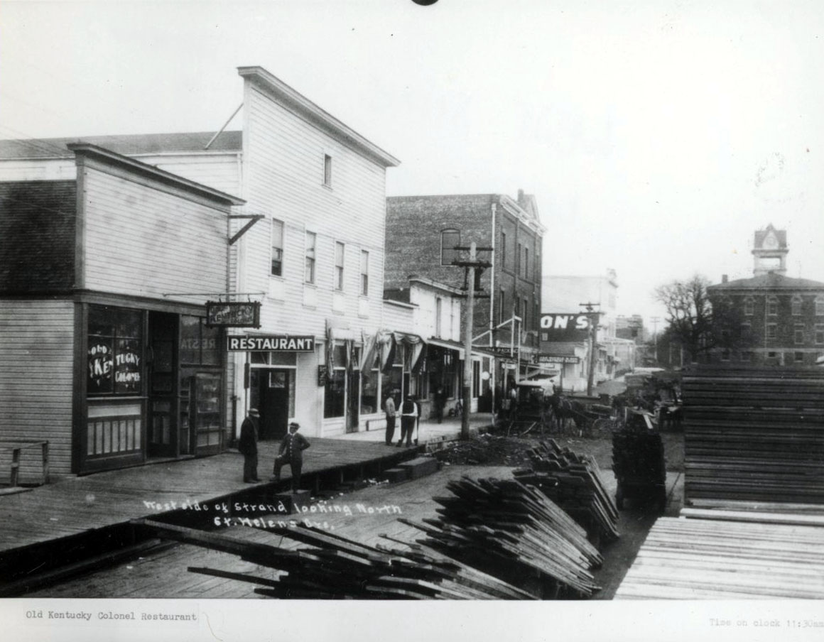
West side of the strand, looking north on Main.
Courtesy Oregon Hist. Soc. Research Lib., 02050
-
![]()
Map of St. Helens (cropped), 1854.
Courtesy Columbia County Museum Association
-
![]()
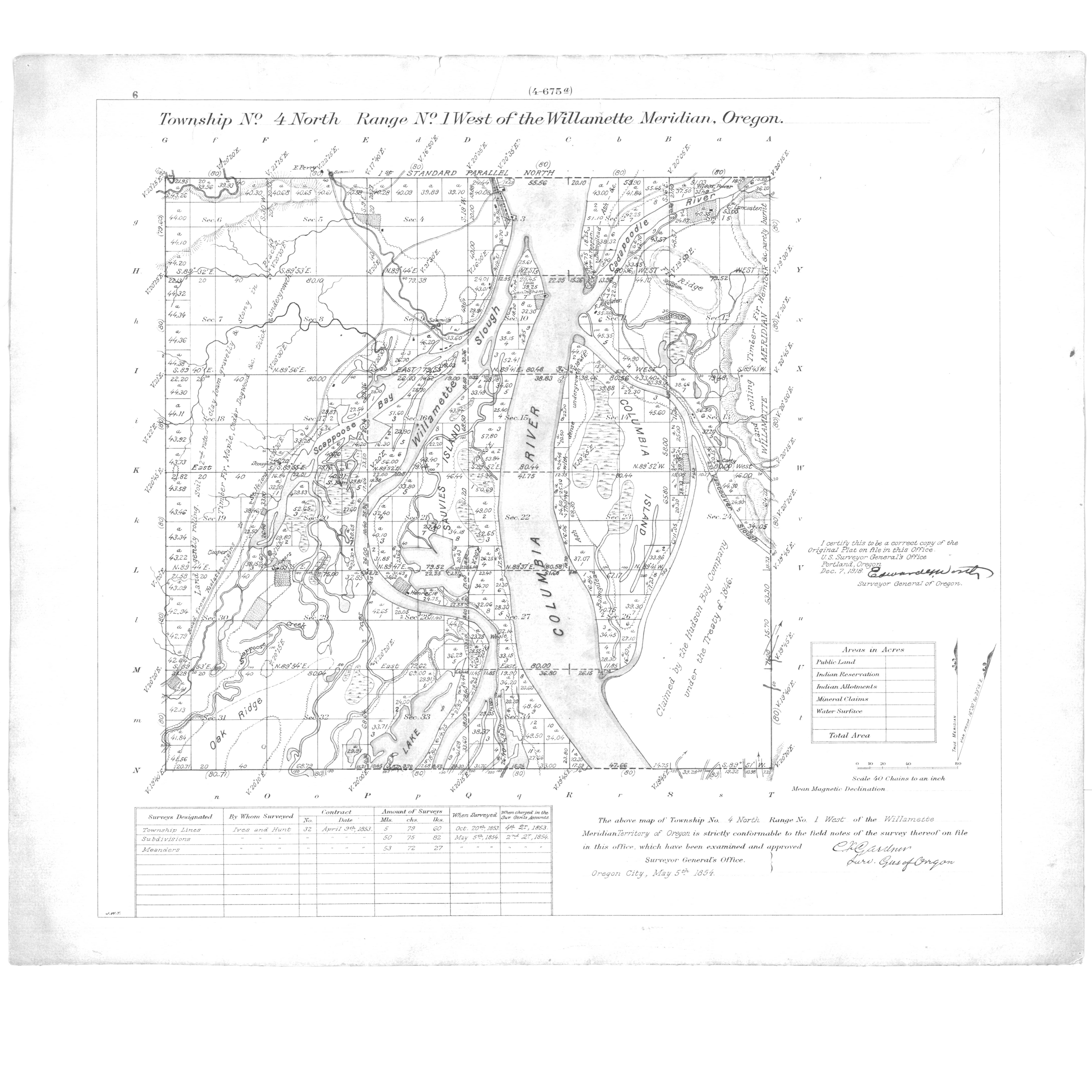
Map of St. Helens (full version), 1854.
Courtesy Columbia County Museum Association
-
![]()
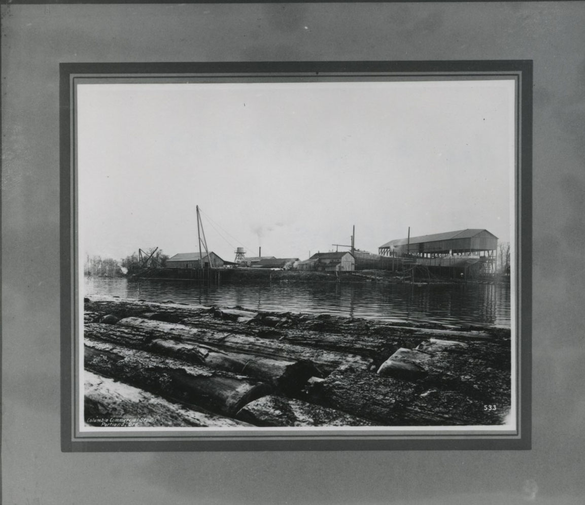
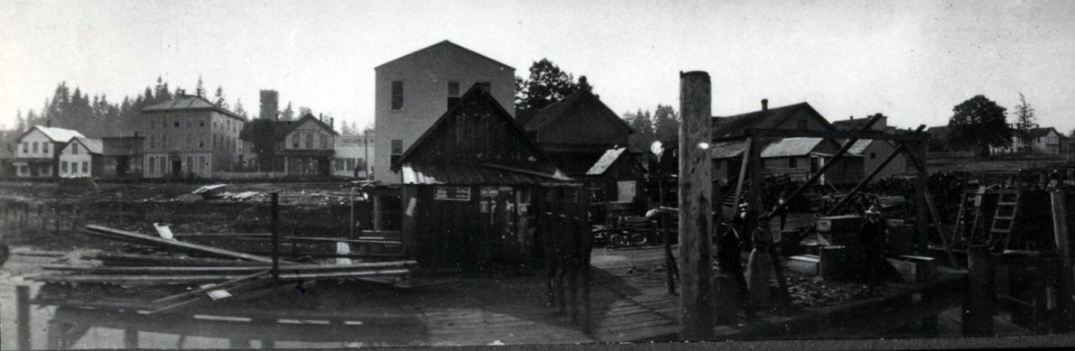
St. Helens shipbuilding, Sauvie Island.
Courtesy Oregon Hist. Soc. Research Lib., 019740
-
![]()
Columbia County Courthouse.
Courtesy Oregon Hist. Soc. Research Lib., Orhi15687
-
![]()
Old Columbia County courthouse in Plaza Square, c. 1888.
Courtesy Oregon Hist. Soc. Research Lib., 022442
-
![]()
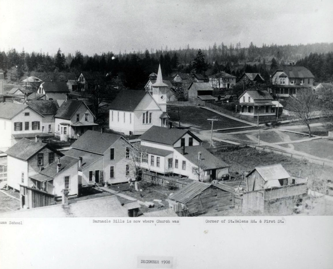
John Gumm School, St. Helens Rd. and First St., 1908.
Courtesy Oregon Hist. Soc. Research Lib., 019291
-
![]()
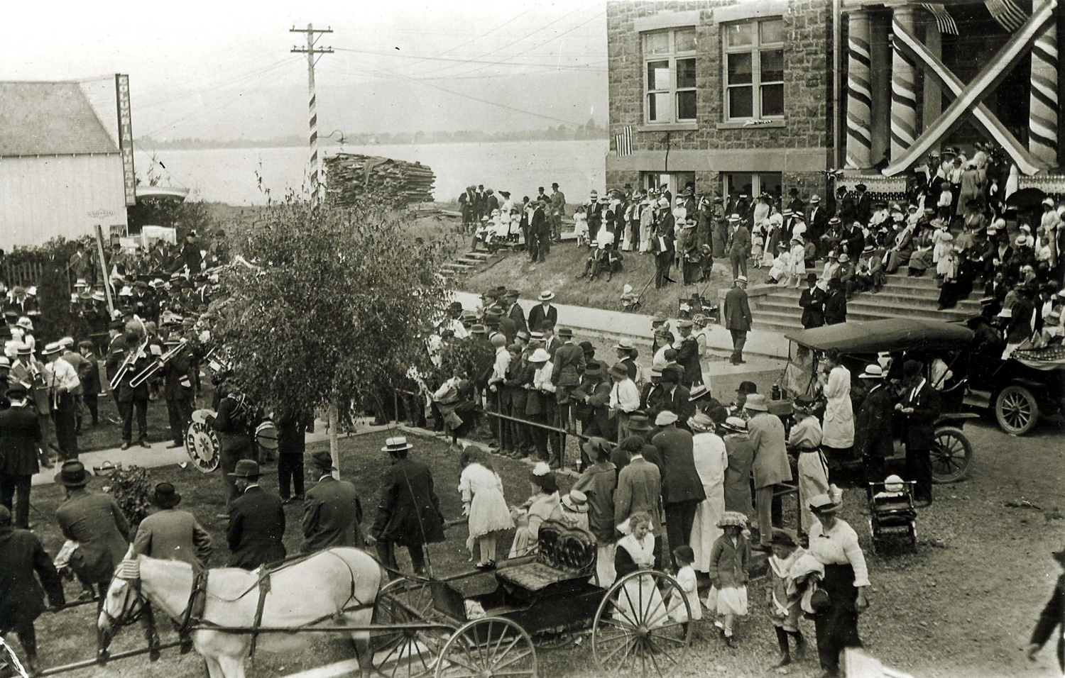
Fourth of July Celebration with the St. Helens Band, July 1915.
Courtesy Columbia County Museum Association
-
![]()
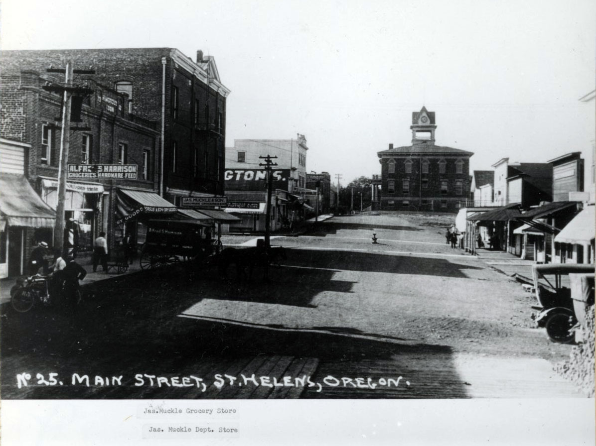
Main Street, St. Helens, 1916.
Courtesy Oregon Hist. Soc. Research Lib., 023049
-
![]()
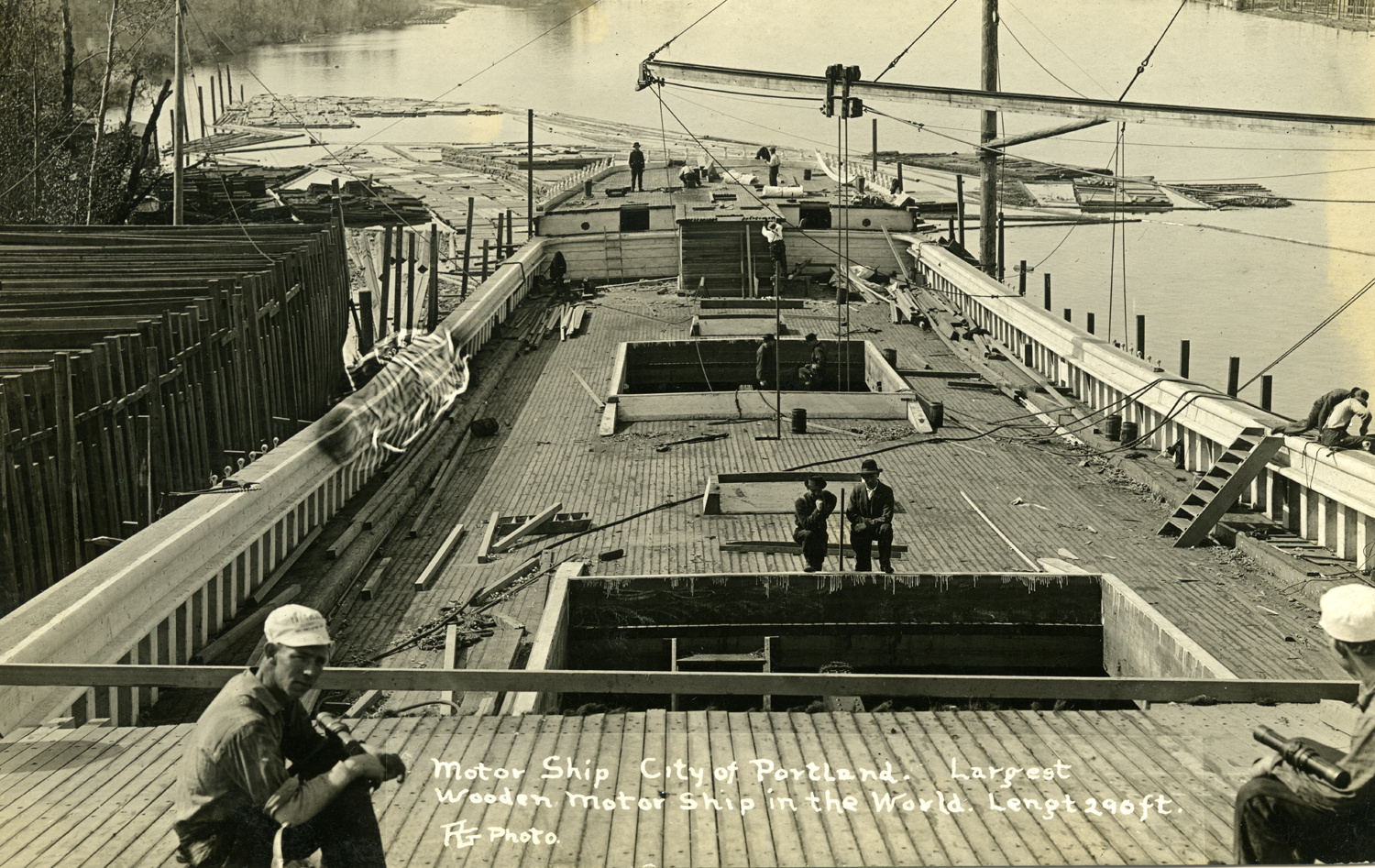
The Ship City of Portland under construction at the St. Helens Shipbuilding Company, 1916.
Courtesy Columbia County Museum Association, Francis Anderson Collection
-
![]()
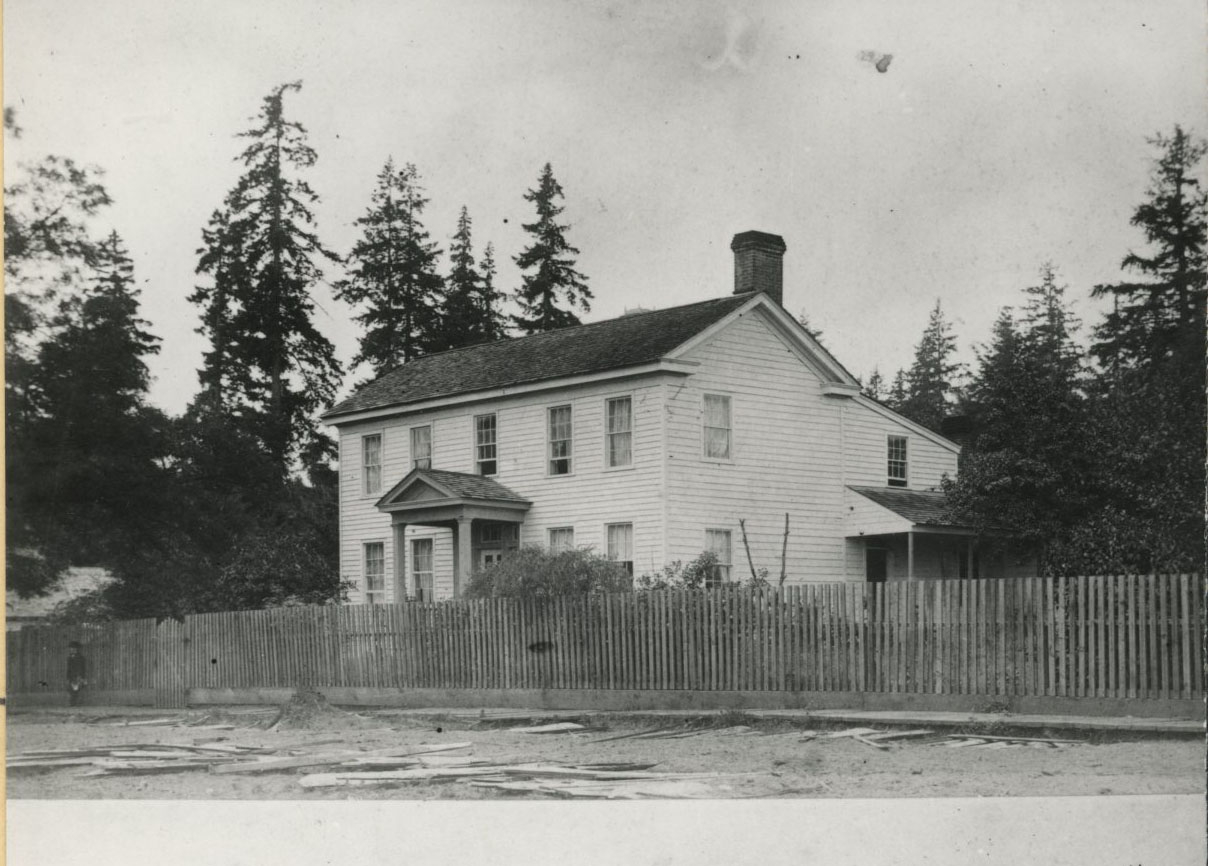
Knighton house, St. Helens, built in 1851.
Courtesy Oregon Hist. Soc. Research Lib., OrHi51910
-
![]()
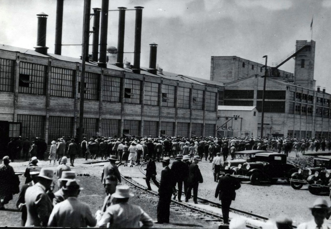
Fir-Tex Insulating Board Co. plant, 1930.
Courtesy Oregon Hist. Soc. Research Lib., 006741
-
![]()
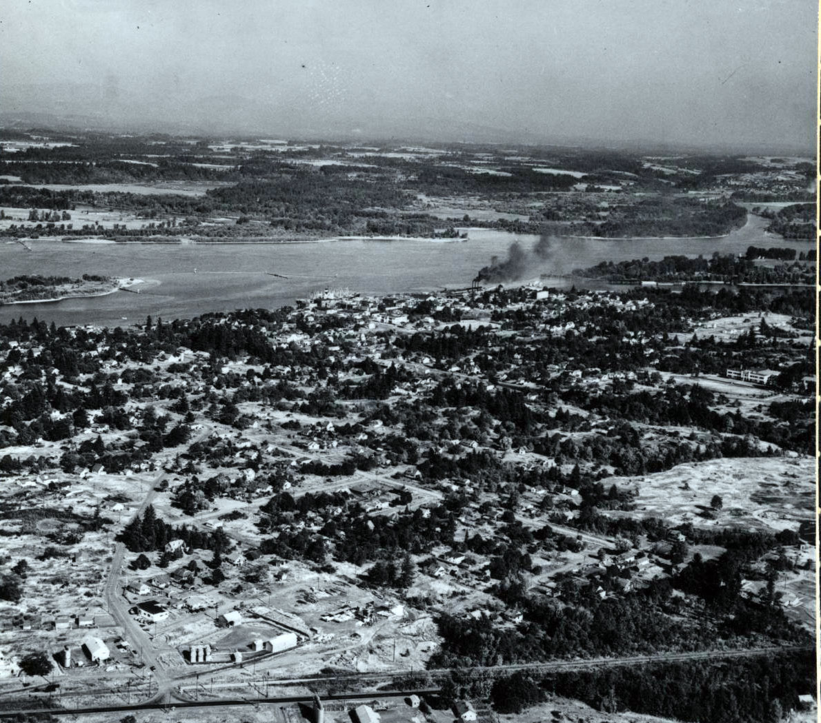
Aerial of St. Helens, 1947.
Courtesy Oregon Hist. Soc. Research Lib., 006352
-
![]()
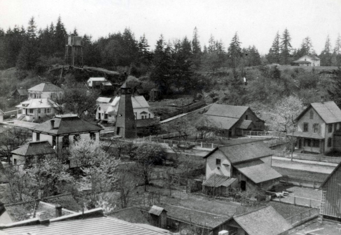
Aerial view of St. Helens.
Courtesy Oregon Hist. Soc. Research Lib., 019771
-
![]()
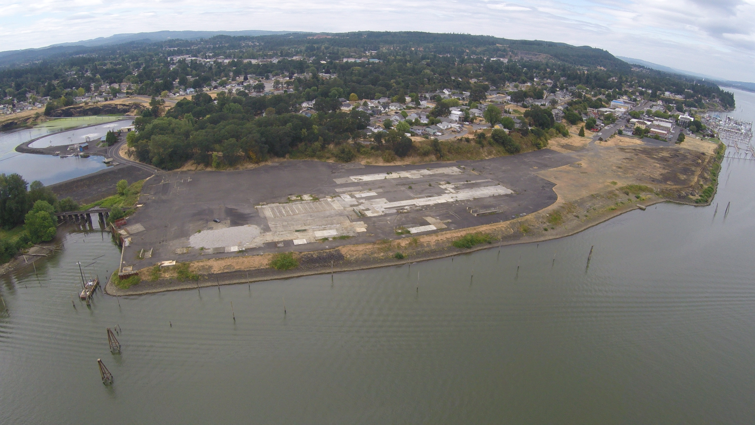
Aerial photograph of the St. Helens Columbia River Site, July 2015.
Courtesy City of St. Helens

Related Entries
-
![Columbia River]()
Columbia River
The River For more than ten millennia, the Columbia River has been the…
-
![Kiesno (Chief Cassino) (1779?-1848)]()
Kiesno (Chief Cassino) (1779?-1848)
Chief Kiesno (his name has also been spelled Keasno, Casino, Kiyasnu, Q…
-
![Portland Basin Chinookan Villages in the early 1800s]()
Portland Basin Chinookan Villages in the early 1800s
During the early nineteenth century, upwards of thirty Native American …
-
![Tualatin, City of]()
Tualatin, City of
The City of Tualatin is twelve miles south of Portland, on the southeas…
-
![Wapato (Wappato) Valley Indians]()
Wapato (Wappato) Valley Indians
Lewis and Clark called them the "Wappato Indians," the people who inhab…


Map This on the Oregon History WayFinder
The Oregon History Wayfinder is an interactive map that identifies significant places, people, and events in Oregon history.
Further Reading
Brown, Tricia, with the Columbia County Museum Association. St. Helens. Charleston, S.C.: Arcadia Publishing, 2015.
Boyd, Robert. Cathlapoltle and its inhabitants, 1792-1860. Portland, Ore.: Cultural Resources Team, U.S. Fish and Wildlife Service, Region 1, 2011.
Becker, Pearl, ed. Columbia County History, vols. 1-15 (1961-1976). St. Helens, Ore.: Columbia County Historical Society.
St. Helens Sentinel-Mist