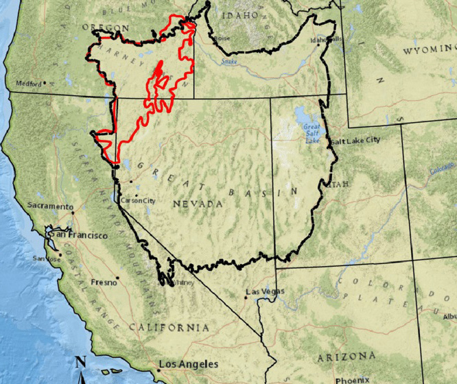
Catlow Valley, named for nineteenth-century cattle rancher John Catlow, is a 1,300-square-mile, seemingly level-floored basin in the high-desert country of southern Harney County. A classic graben (a depression formed between uplifted fault blocks), Catlow Valley is bounded by the Hart Mountain fault block (or "horst") to the west, the Steens Mountain fault block to the east, and the volcanic upland of Beatty's Butte on the south.
At an average elevation of 4,500 feet, the valley lies within the interior-drainage terrain of the northern Great Basin, where rivers and streams flow not to the sea, but instead form shallow lakes and marshes within the region's numerous grabens. During the cooler and moister climate of the Pleistocene (Ice Age), the lack of an outlet caused a large lake, at times several-hundred feet deep, to fill the valley. Along the former edge of Ancient Lake Catlow (similar to Lake Bonneville, which once covered much of central and northern Utah), wave-cut beach terraces well over 15,000 years old remain visible on the slopes of the surrounding hills.
At a few locations along Lake Catlow's shoreline, wave erosion formed deep overhangs or rock shelters at the bottom of cliffs between layers of the volcanic basalt. At two such places, Catlow Cave and Roaring Springs Cave, Ice-Age humans found shelter while they hunted, gathered, and fished the shore of the immense freshwater lake. During excavations in the 1930s, Oregon archaeologist Luther Cressman found abundant evidence of these past residents, ranging from their characteristic stone tools and expertly woven baskets to dart-throwers and the butchered remains of now-extinct animals. During more recent centuries, long after Lake Catlow had dried up, the people now known as the Northern Paiute expanded northward into Oregon's part of the Great Basin, including Catlow Valley. They were adept hunter-gatherers of the arid environment.
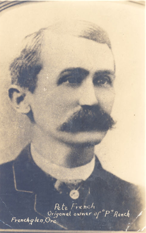
During the late nineteenth century, Catlow Valley became prime cattle-grazing country. By 1870, the U.S Army had pushed most of the local Northern Paiute people aside. The earliest rancher, Peter French, also had appeared on the scene, soon followed by John Catlow, David Shirk, and others who wintered their herds in the valley bottoms.
From 1905 to 1920, a dry-farming homestead boom drew many would-be farmers to the northern Great Basin, including Catlow Valley. Hundreds of optimistic people settled on the sagebrush flats, dug wells, and attempted to grow grains, although the high-elevation region's short growing season typically permitted only hardy rye to survive. Catlow Valley's dry-farm communities, often with simply a school building and post office in a homesteader's cabin, included Berdugo, Catlow, Sageview, and Tiara.
The largest town in the valley was Blitzen. Appearing like the classic Hollywood set of a western ghost town, complete with tumbleweeds and shutters banging in the wind, Blitzen's long-abandoned store, post office, school, and other buildings remained standing into the 1990s. More recently, because the ghost town drew numbers of curious visitors—who sometimes left the access road's numerous fence gates unsecured—and because cattle were seeking shade inside decrepit buildings with collapsing floors, all of the structures were bulldozed by the land owner. The former town is returning to sagebrush. With abundant groundwater situated not far below the dry surface, the huge green circles formed by electrically powered irrigation-pipe systems grow alfalfa and other hay crops for the sparsely populated Catlow Valley's remaining cattle ranches.
-
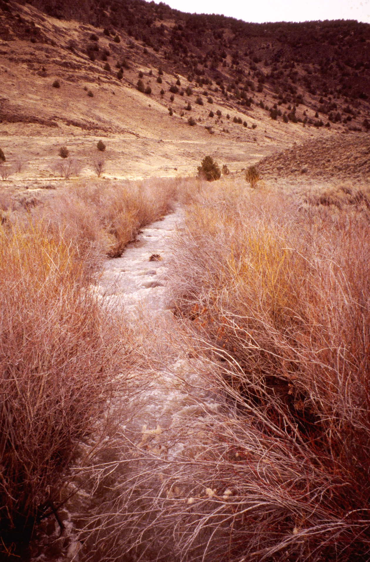
![Riparian area along Home Creek in Home Creek Canyon of Catlow Valley.]()
Catlow Valley, Home Creek 2.
Riparian area along Home Creek in Home Creek Canyon of Catlow Valley. U.S. Bureau of Land Mgmt., Burns Distr., Steenscd1L-087
-
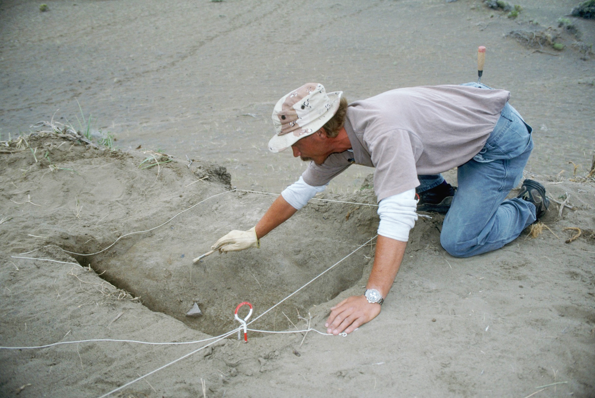
![Archaeological excavation at Skull Creek Dunes site in Catlow Valley.]()
Catlow Valley, archy.
Archaeological excavation at Skull Creek Dunes site in Catlow Valley. U.S. Bureau of Land Mgmt., Burns Distr., BURNSCD1L-051
-
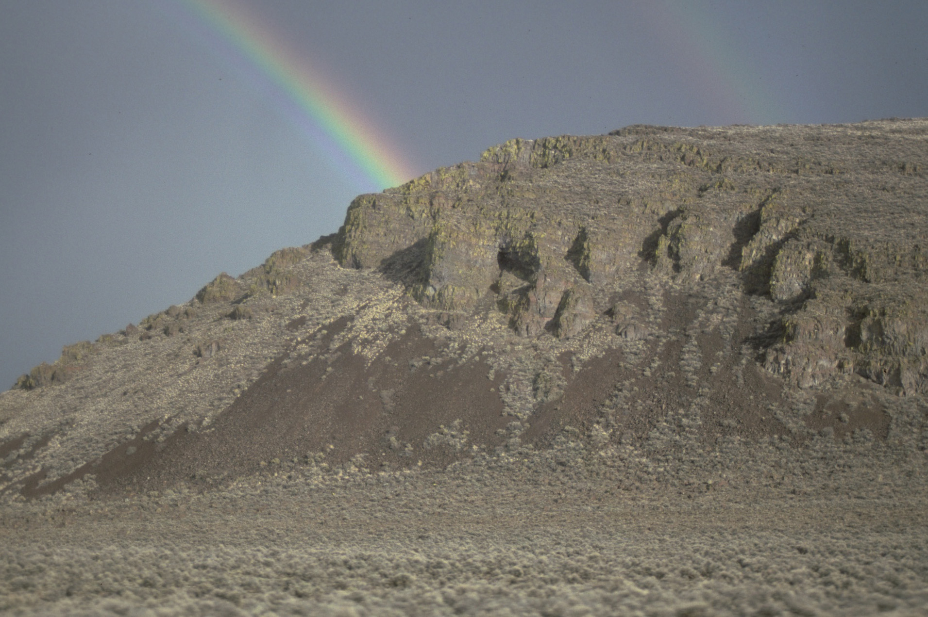
![Rainbow over Catlow Rim.]()
Catlow Rim, rainbow.
Rainbow over Catlow Rim. U.S. Bureau of Land Mgmt., Burns Distr., Burnscd2L-012
-
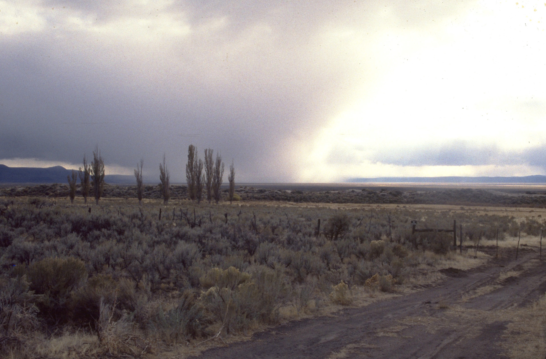
![Storm in south Catlow Valley.]()
Catlow Valley, storm.
Storm in south Catlow Valley. U.S. Bureau of Land Mgmt., Burns Distr., Burnscd2L-001
-
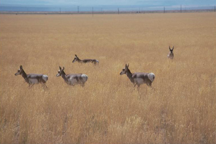
![Pronghorn antelope in Catlow Valley.]()
Catlow Valley, antelope.
Pronghorn antelope in Catlow Valley. U.S. Bureau of Land Mgmt., Burns Distr., Burnscd2L-039
Related Entries
-
![Joaquin "Chino" Berdugo (1850-1931)]()
Joaquin "Chino" Berdugo (1850-1931)
Joaquin “Chino” Berdugo was a prominent vaquero leader and stockman in …
-
![John William "Pete" French (1849-1897)]()
John William "Pete" French (1849-1897)
Peter (or Pete) French was a stockman of near-legendary status who ran …
-
![Pleistocene Pluvial Lakes]()
Pleistocene Pluvial Lakes
During the Last Glacial Maximum, from about 24,000 to about 18,000 year…
-
![Steens Mountain]()
Steens Mountain
Rising to an elevation of 9,733 feet, Steens Mountain is the highest po…
-
![The Northern Great Basin During the Ice Age]()
The Northern Great Basin During the Ice Age
During the Ice Age, from about 25,000 to 11,700 years ago, the Northern…


Related Historical Records
Map This on the Oregon History WayFinder
The Oregon History Wayfinder is an interactive map that identifies significant places, people, and events in Oregon history.
Further Reading
Cressman, Luther, Howell Williams, and Alex D. Krieger. Early Man in Oregon: Archaeological Studies in the Northern Great Basin. Eugene: University of Oregon, 1940.
Jackman, E.R. and John Scharff. Steens Mountain in Oregon's High Desert Country. Caldwell, ID: Caxton Printers, 1967.
LaLande, Jeff. "High-Desert History: Southeastern Oregon." Oregon History Project, Oregon Historical Society, 2005. http://www.ohs.org/education/oregonhistory/narratives/index.cfm?nar_ID=D4263921-E6AF-987D-0FB00670A379B463.