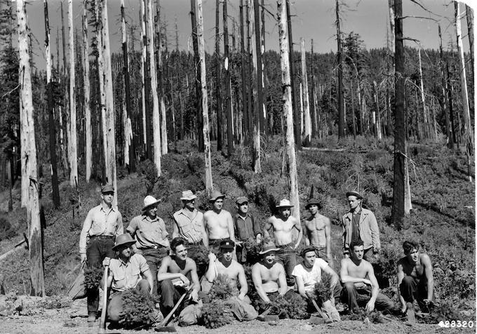
From 1933 to 1942, Civilian Conservation Corps (CCC) enrollees in Coos County’s seven camps spent their summers fighting forest fires and building the trails, roads, and lookout towers that would provide quicker detection of fires and make them easier to contain. The Coos County Forest Patrol Association (CCFPA) depended on the CCC. As Keith Young, CCFPA district warden, wrote in 1938, “Practically all firefighting was done with CCC labor. The Association is fortunate in having these camps available for fire suppression.”
Four Coos County CCC camps focused primarily on fire protection projects: Camp Sitkum in Brewster Valley, Camp Coquille near Fairview, Camp McKinley up Middle Creek, and Camp Bradford at Upper Rock Creek.
CCC firefighters faced their biggest test in 1936 when humidity dropped to 8 percent and matches burned with five-inch flames. Stray sparks started fires throughout Coos County. Fence posts, trees, and structures exploded into flames, and the fires spread by east winds that blew at thirty-eight miles an hour.
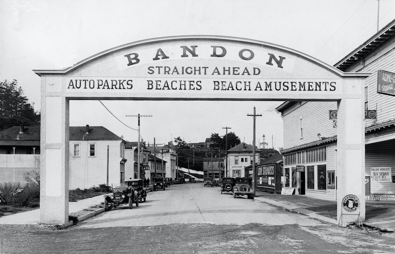
To fight the fires, the district warden called out every available man from nearby CCC camps and then sent for 5,000 other enrollees from across the region. Crews fought fires at Seven Devils, South Slough, Coos Head, China Camp Creek, Cunningham Creek, Rock Creek, Sitkum, and McKinley. Fires burned at the city limits of Marshfield, Coquille, and Myrtle Point. Four miles south of Bandon, enrollees at the CCC Bandon Side Camp fought a fire approaching their camp. They were able to save the Four Mile Store and their CCC buildings. At the same time, a fire of questionable origin started east of Bandon. On September 26, strong east winds pushed the fire into Bandon, and most of downtown Bandon burned to the ground. After the fire, CCC crews stayed to clean up the city.
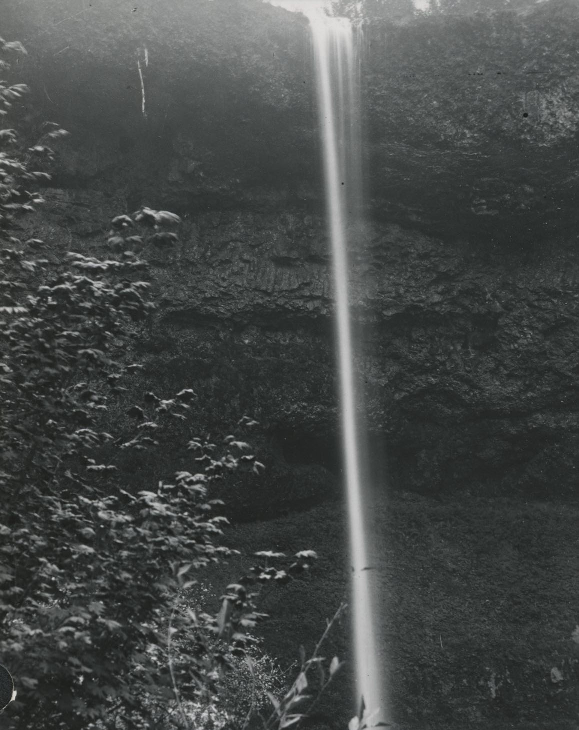
In addition to fighting fires and completing fire protection projects, Coos County’s CCC camps helped develop three parks. Enrollees at Camp Coos Head in Charleston completed projects at Cape Arago State Park, while enrollees at Camp Glenn Creek, three miles east of Golden Falls, worked on a park named for two waterfalls, Golden and Silver Falls State Park. Enrollees at Camp China Flats, about twelve miles south of Powers, labored at Daphne Grove, a U.S. Forest Service campground.
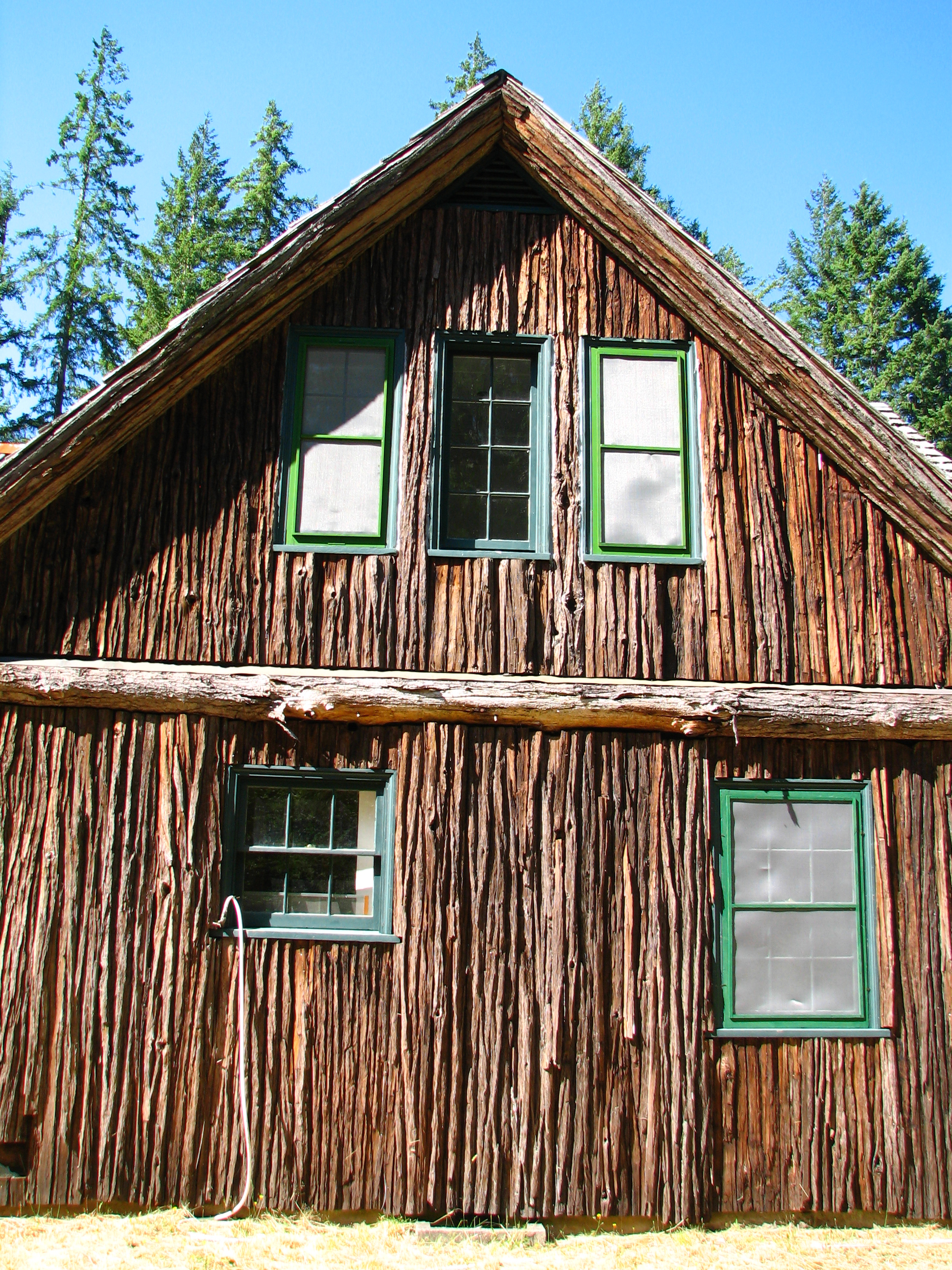
CCC crews also helped erect forestry buildings near Marshfield and Powers, and Marshfield Side Camp enrollees helped CCFPA construct a headquarters complex. Camp China Flats enrollees milled lumber, split shakes, and nailed bark siding to the all-cedar headquarters building of the Port Orford Cedar Experimental Forest. Decades later, the deteriorating structure was refurbished by volunteers and U.S. Forest Service personnel.
When CCC camps moved in and built roads, trails, and telephone lines for fire protection, host communities benefited. Each camp gave its neighbors economic opportunities, too. Chuck Middleton’s family, for example, sold milk to Camp Glenn Creek. “We used to sell them about 20 gallons of milk every day,” Middleton remembered. “We drove up there with it and delivered it; then we picked up their garbage and came back and fed it to our hogs.”
The CCC program ended in 1942, but its legacy remained in the stands of tall, green Coos County timber untouched by flames, an infrastructure for fighting fires, and even a few fat hogs.
-
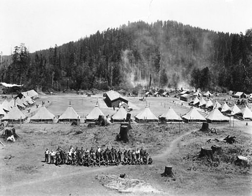
![Recruits from Nebraska arrived at CCC Camp Coquille in 1933.]()
Coquille CCC Camp.
Recruits from Nebraska arrived at CCC Camp Coquille in 1933. Courtesy Coos Forest Protective Association
-
Cedar Bark House, CCC, 2010.
Now part of the Port Orford Cedar Research Natural Area, CCC members built the Cedar Bark House in 1936. Photo July 2010. Photo Misty Brotton
-
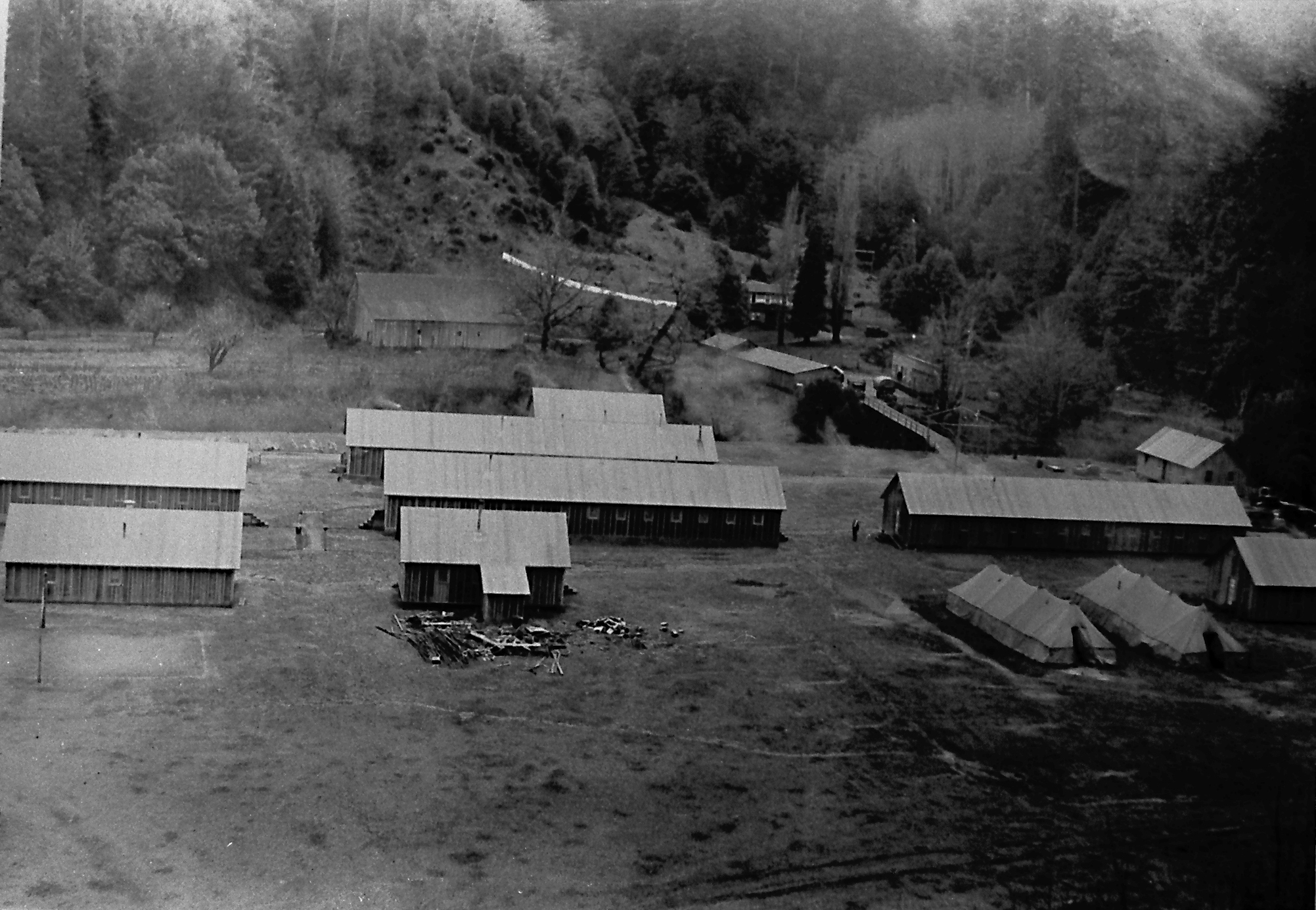
![CCC Camp Sitkum, in background are U. S. Forest Service facilities and host property owner buildings.]()
Sitkum, CCC Camp bldgs.
CCC Camp Sitkum, in background are U. S. Forest Service facilities and host property owner buildings. Courtesy Richard Kirk
Related Entries
-
![Bandon]()
Bandon
Located at the mouth of the Coquille River in Coos County, Oregon, Band…
-
![Civilian Public Service Camp #21]()
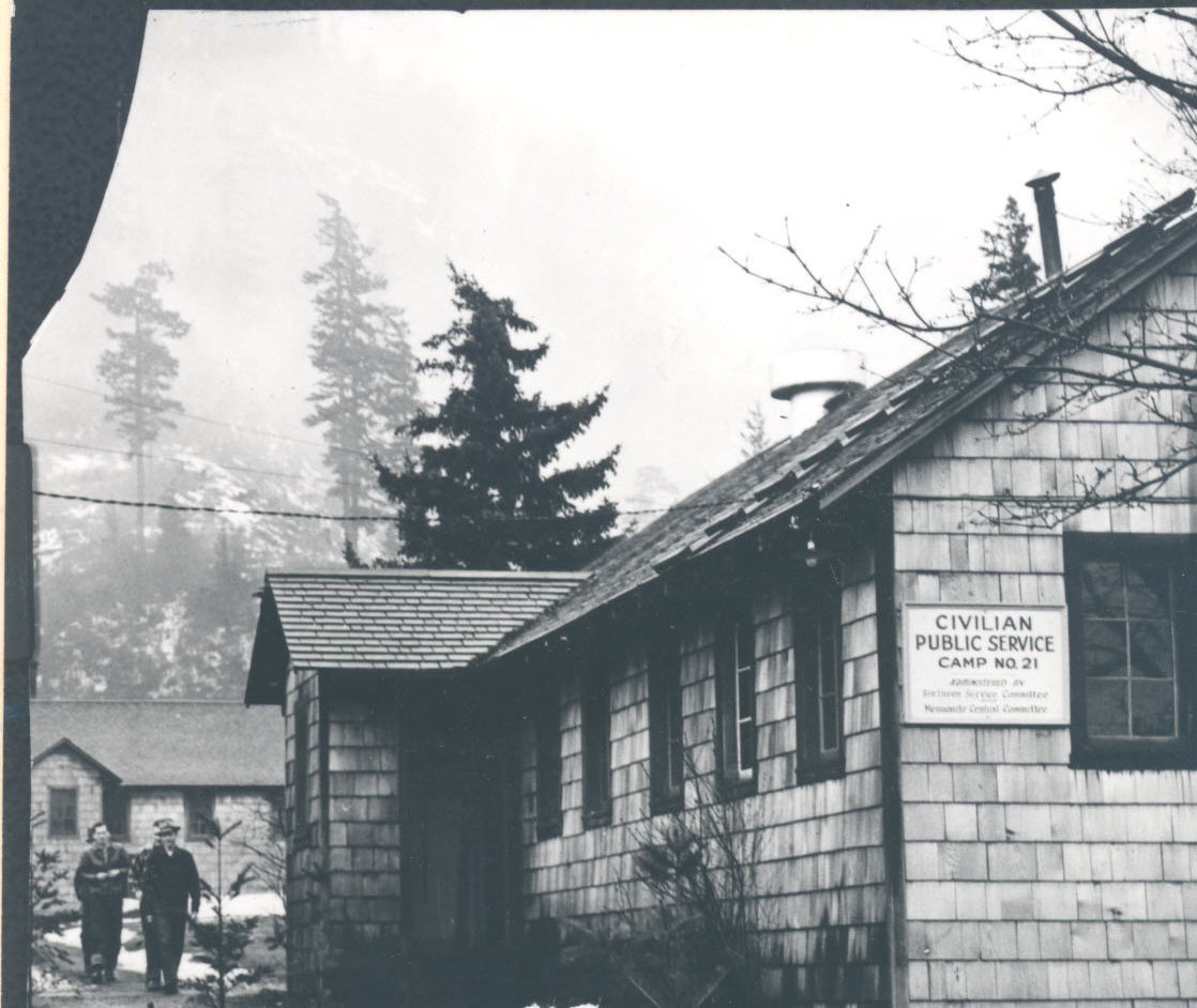
Civilian Public Service Camp #21
Civilian Public Service Camp #21 opened in November 1941 at Wyeth, a fe…
-
![Civilian Public Service Camp #56]()
Civilian Public Service Camp #56
Civilian Public Service Camp #56, on the central Oregon Coast four mile…
-
![Coos Bay]()
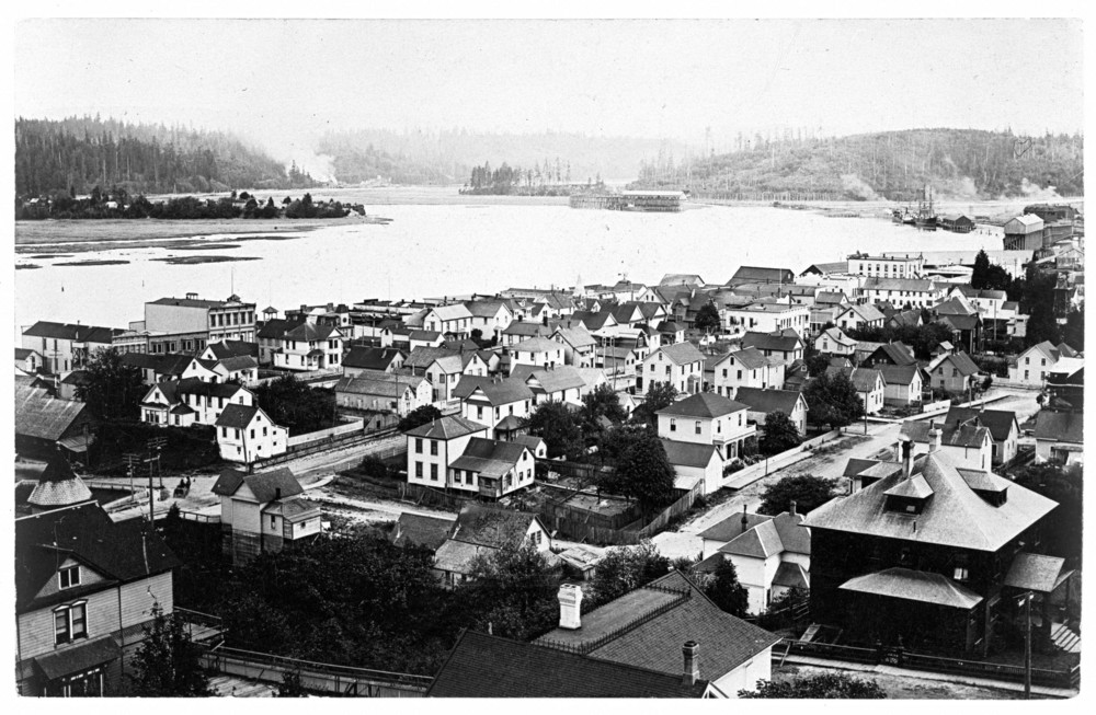
Coos Bay
The Coos Bay estuary is a semi-enclosed, elongated series of sloughs an…
-
![Hart Mountain Civilian Conservation Corps (CCC) Camp]()
Hart Mountain Civilian Conservation Corps (CCC) Camp
Camp Hart Mountain, a Civilian Conservation Corps camp, operated from O…
-
![National Forests in Oregon, 1892 to 1933]()
National Forests in Oregon, 1892 to 1933
The first forest reserves in the state were established in 1892-1893, a…
-
![Silver Falls State Park]()
Silver Falls State Park
Silver Falls State Park, located about twenty miles southeast of Salem,…
-
![Untide Press]()
Untide Press
The Untide Press (1943-1951) was a small poetry press founded at Camp A…
Related Historical Records
Map This on the Oregon History WayFinder
The Oregon History Wayfinder is an interactive map that identifies significant places, people, and events in Oregon history.
Further Reading
Beckham, Stephen Dow. Bandon By-the-Sea: Hope and Perseverance in a Southwestern Oregon Town. Coos Bay, Ore.: Arago Books, 1997.
Maher, Neil M. Nature’s New Deal: The Civilian Conservation Corps and the Roots of the American Environmental Movement. New York: Oxford University Press, 2009.
Strain, Patti. The Coquille Valley-Volume 1-Memories from Moccasins to the Moon. Myrtle Point, Ore.: Myrtle Point Printing, 2009.
Youst, Lionel. Above the Falls: An Oral and Folk History of Upper Glenn Creek, Coos County, Oregon. Coos Bay, Ore.: Lionel Youst, 1992.

