Nestled on the west side of the mid-Willamette River, Corvallis is dominated by Oregon State University, the state’s largest university, and is home to the original offices of the international engineering firm CH2M Hill. Located eighty miles from Portland and fifty miles from the Oregon Coast, the city is known for its livability, bicycle-friendly travel, and pleasant retirement community. The longtime home of the Mary’s River band of the Kalapuya, the Native American Longhouse Eena Haws on the Oregon State University campus is a cultural center for the region’s Native people.
The first white settlers arrived at the confluence of the Willamette and Marys Rivers in the early 1840s in the wake of devastating malaria outbreaks that had killed approximately 90 percent of the Kalapuya between 1830 and 1833. Joseph Avery staked the first 640-acre claim to the area in 1845.
Originally called Marysville and then renamed Corvallis (a Latin compound meaning "heart of the valley") to avoid confusion with Marysville, California, the town was named the seat for Benton County government in 1851 and was incorporated in 1857. Corvallis had attracted a flood of immigrants seeking Donation Land Claims in the early 1850s, and it continued to grow with expanding wheat production and the establishment of regular steamboat traffic on the Willamette River. The town briefly served as the capital of Oregon Territory in 1855 amidst disputes among Oregon's governors and the territorial legislature over the matter. Salem eventually won out and became the seat of territorial government in 1856. Listed in the 1860 census with a population of 531, Corvallis grew slowly for the rest of the century, numbering 1,819 people in 1900.
A signal moment for the future of the community occurred in 1868, when the legislature designated Corvallis College, a small sectarian school under the control of the Methodist Episcopal Church, South, as the state’s agricultural college. Proslavery immigrants, who had traveled to the area from Southern and Border States, had established the school. In 1885, the State of Oregon seized control of the school’s agricultural college when the church failed to provide sufficient support for the land-grant enterprise.
Commerce on the Willamette River was enhanced when the Army Corps of Engineers completed a canal and locks at Willamette Falls in 1873, a project that enabled shippers to pass up and down river without portaging goods around the falls. With growing surpluses of agricultural products, Corvallis merchants sought a railroad to provide competition with river transportation. They achieved that objective in 1880, when Henry Villard completed a railroad from Portland to Corvallis on the west side of the river.
By the late nineteenth century, Corvallis had become a significant agricultural center, with riverside warehouses brimming with grain and fruit and vegetable harvests awaiting shipment to Portland. The community’s growing agricultural college, with more than four hundred students in 1900, was becoming ever more important to the local economy.
Corvallis grew apace in the new century, its population increasing from 1,527 in 1900 to 4,552 by 1910. When automobiles appeared in the city, local officials began paving streets, and the growing population created a need for new water delivery and sewer systems. Reflecting the influence of temperance advocates, Corvallis voters took advantage of the legislature’s local option law in 1905 to become a dry town well in advance of the ratification of the Eighteenth Amendment in 1919. The town remained dry until the repeal of Prohibition in 1933.
The city and the college continued to grow during the 1920s, with the Corvallis population reaching 7,585 and Oregon State Agricultural College (the name was changed in 1927) enrolling 3,347 students in 1930. The city’s growth slowed to 10 percent during the Great Depression in the face of bank failures and slowing construction. The Civilian Conservation Corps operated camps in the college forest north of town, where they established a nursery, fought forest fires during the season, and built roads and trails through the school's property.
Although Corvallis and the college had been abuzz with defense activity before the winter of 1941, the Japanese attack on Pearl Harbor on December 7 triggered unprecedented research and the specialized training of troops on campus. The army’s construction of the Camp Adair training base north of Corvallis was a boon to city businesses, and the shortage of housing during the war continued after 1945 when hundreds of veterans arrived to attend college on the GI Bill.
The postwar housing boom boosted Oregon’s lumber production to all-time highs in the mid-1950s, generating hundreds of jobs in the woods and mills west of Corvallis. The city’s population more than doubled between 1950 and 1970 to 35,056, and the Oregon legislature advanced Oregon State College (the name was changed again in 1937) to university status in 1960, a move signaling the now-named (1961) Oregon State University’s importance as the largest employer in Benton County.
Hewlett-Packard, one of the world's leading technology companies, opened a large plant northeast of Corvallis in 1976, bringing significant changes to the community. Employing some six thousand workers in the mid-1990s and thousands more through contractors, Hewlett-Packard's workforce has since been reduced to about two thousand employees at the Corvallis site.
The coming of Hewlett-Packard to Corvallis and the growth of Oregon State University helped transform the conservative community into a center of liberal-leaning politics. Benton County, for example, joined Multnomah County in 2004 as the only counties to vote against Ballot Measure 36, which amended the Oregon Constitution to define marriages as a union between one man and one woman, an amendment found unconstitutional in 2014. The university’s enrollment reached 15,509 in 1970 and remained relatively stagnant for thirty years before soaring in the twenty-first century, when it helped push the city’s population above 59,922 in 2020.
-
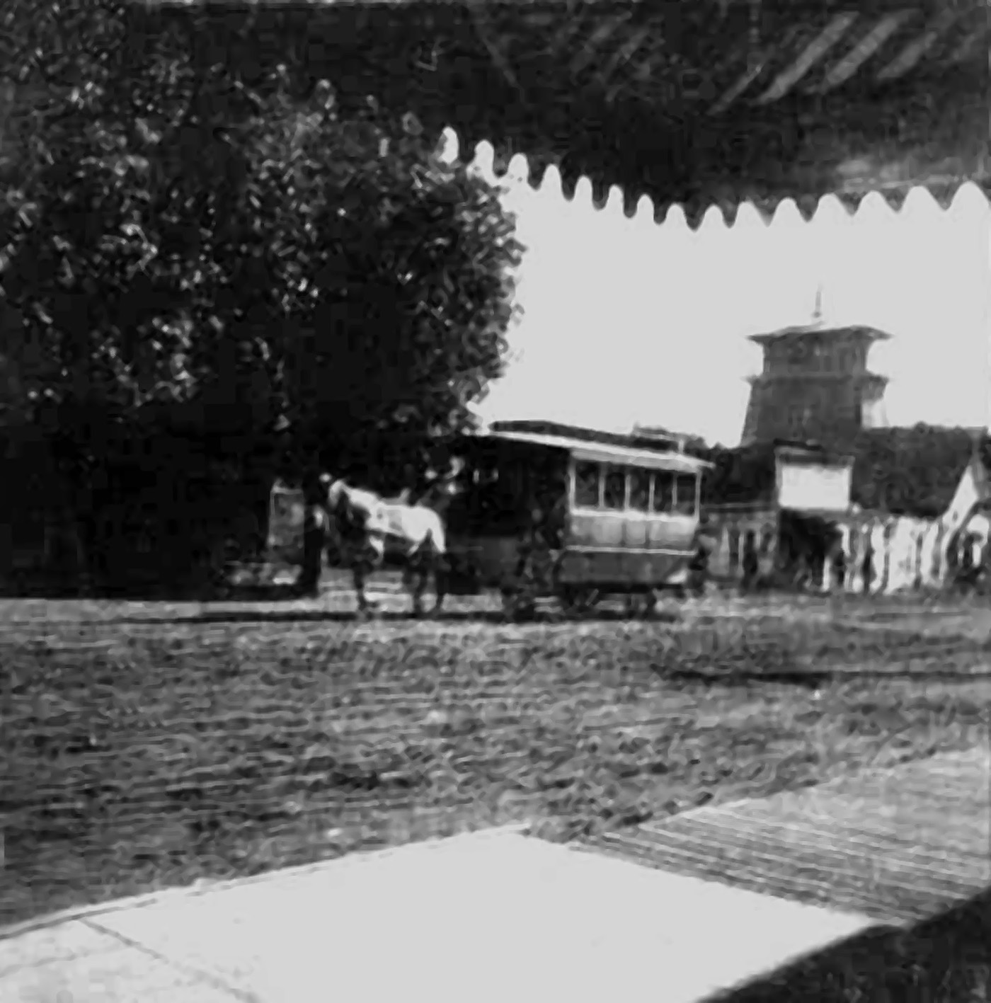
![]()
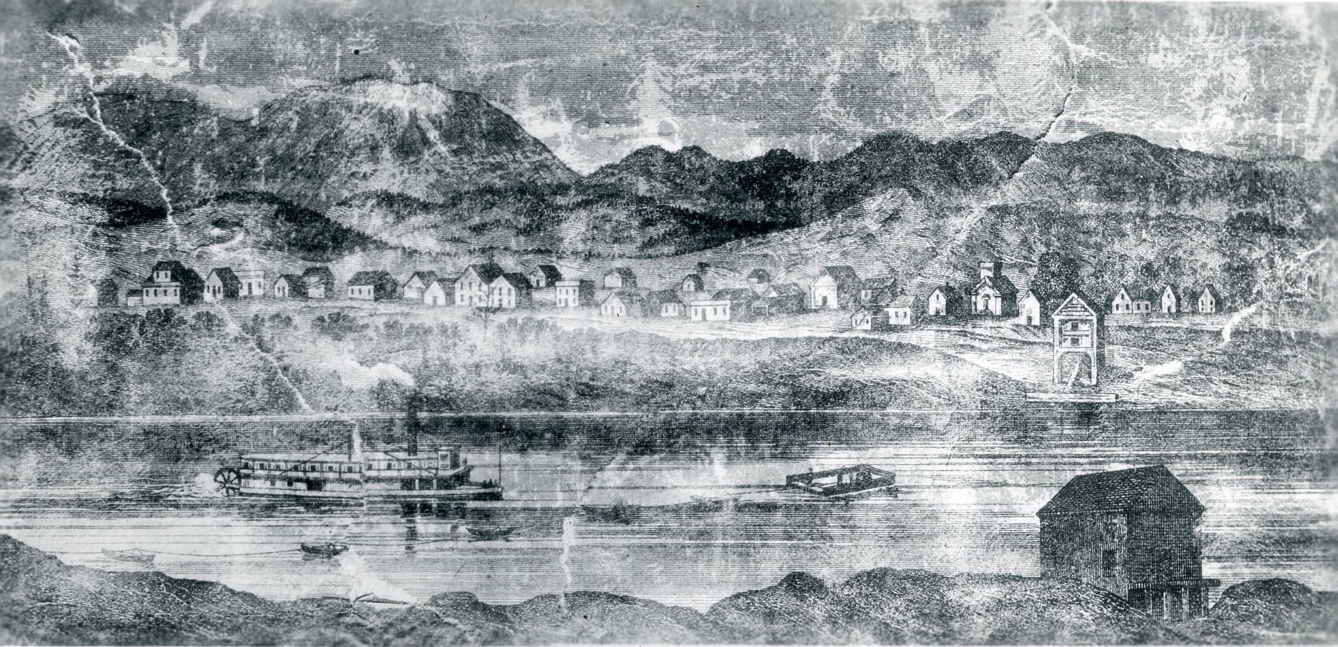
Early sketch of Corvallis, 1858.
Courtesy Oregon Hist. Soc. Research Lib., 4300
-
![]()
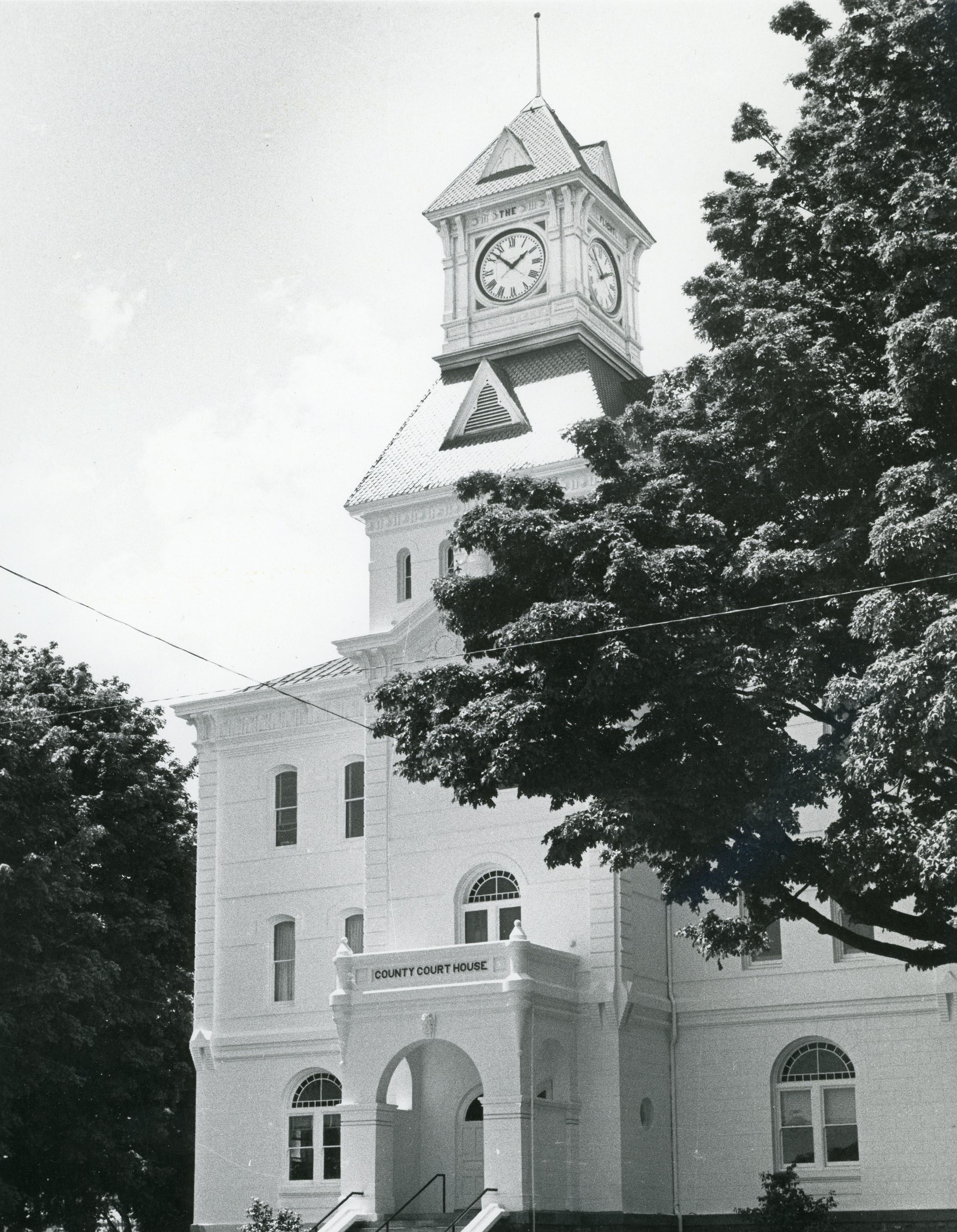
Benton County Courthouse.
Courtesy Oregon Hist. Soc. Research Lib., OrHi102719
-
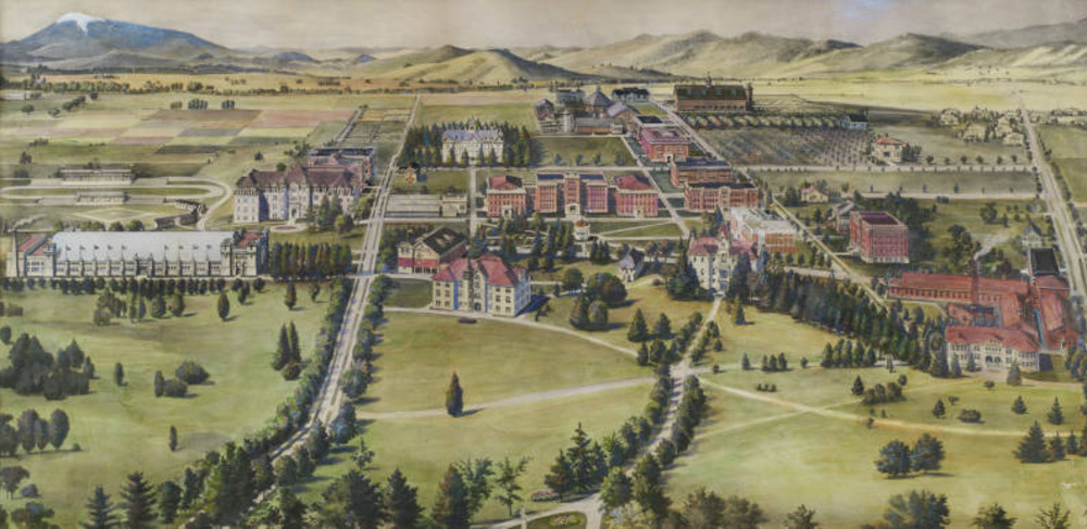
![]()
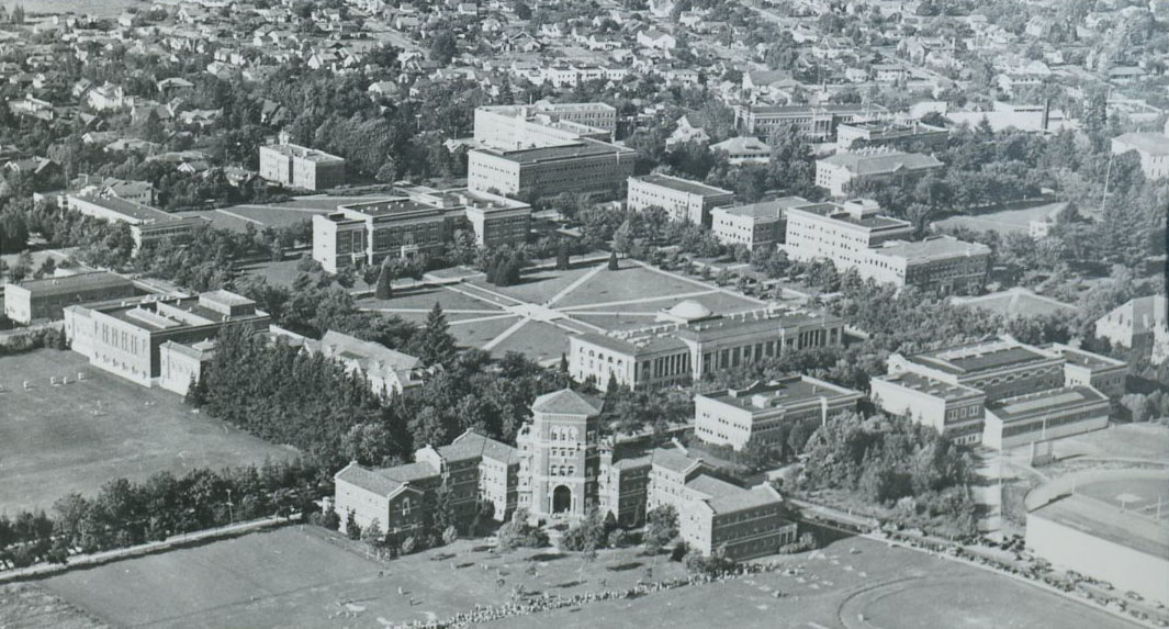
Aerial of Olmstead's campus design of OAC (now OSU), 1941.
Courtesy Oregon Hist. Soc. Research Lib., 014382
-
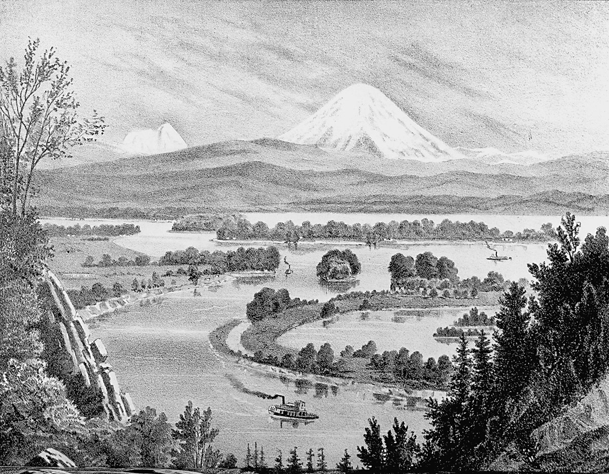
![]()
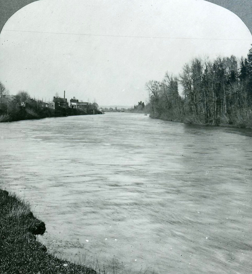
Willamette River passing Corvallis (left), c. 1905.
Courtesy Oregon Hist. Soc. Research Lib., 016413
-
![]()
Building used as statehouse by territorial government in 1855 (photo taken in c. 1899).
Courtesy Oregon Hist. Soc. Research Lib., 35347
-
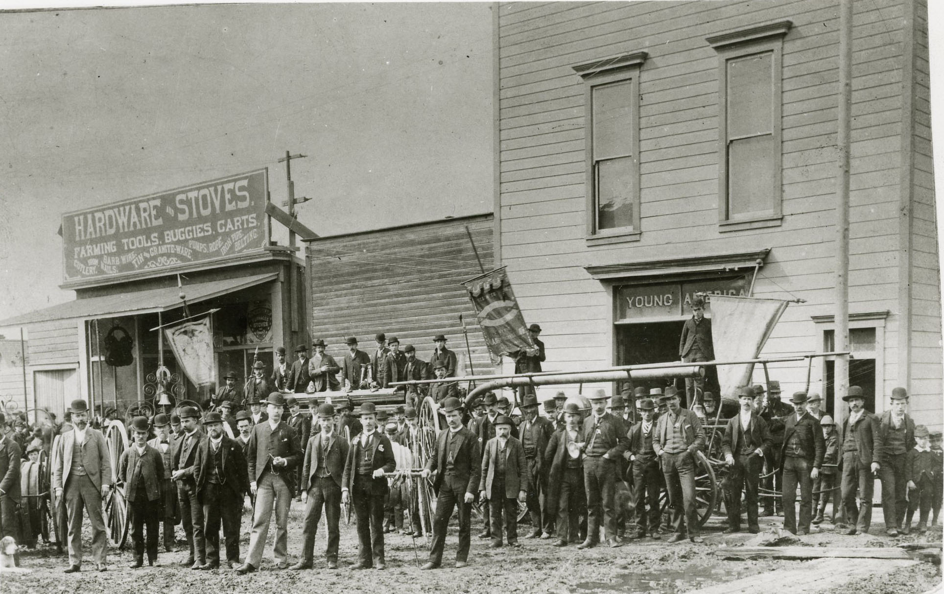
![]()
Corvallis Fire Department Young America Company.
Courtesy Oregon Hist. Soc. Research Lib., 24893
-
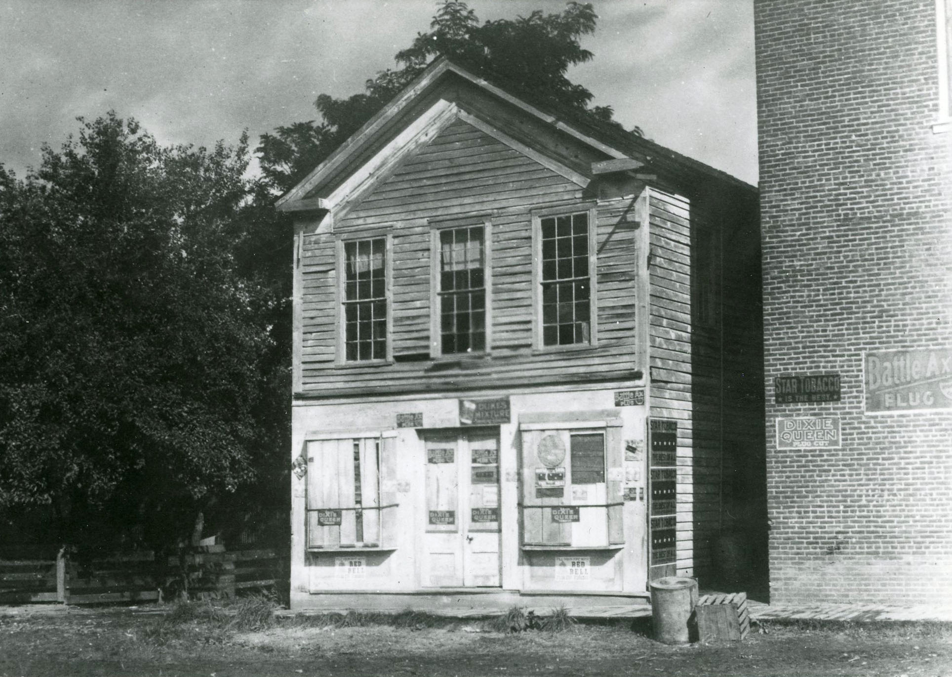
![]()
J.C. Avery Building (1850s), Corvallis, c.1890s.
Courtesy Oregon Hist. Soc. Research Lib., 36469
-
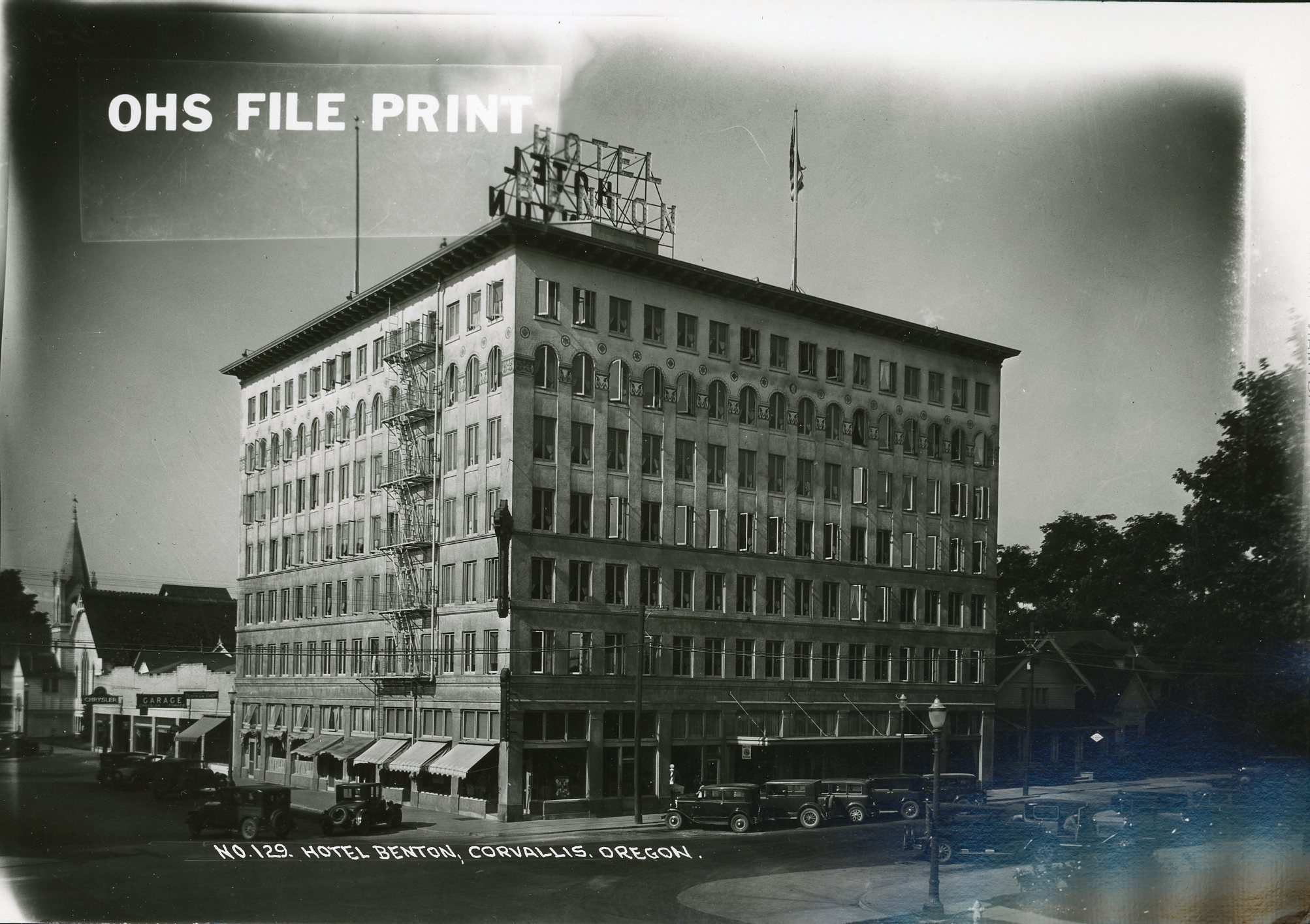
![]()
Hotel Benton, Corvallis.
Courtesy Oregon Hist. Soc. Research Lib., 14901
-
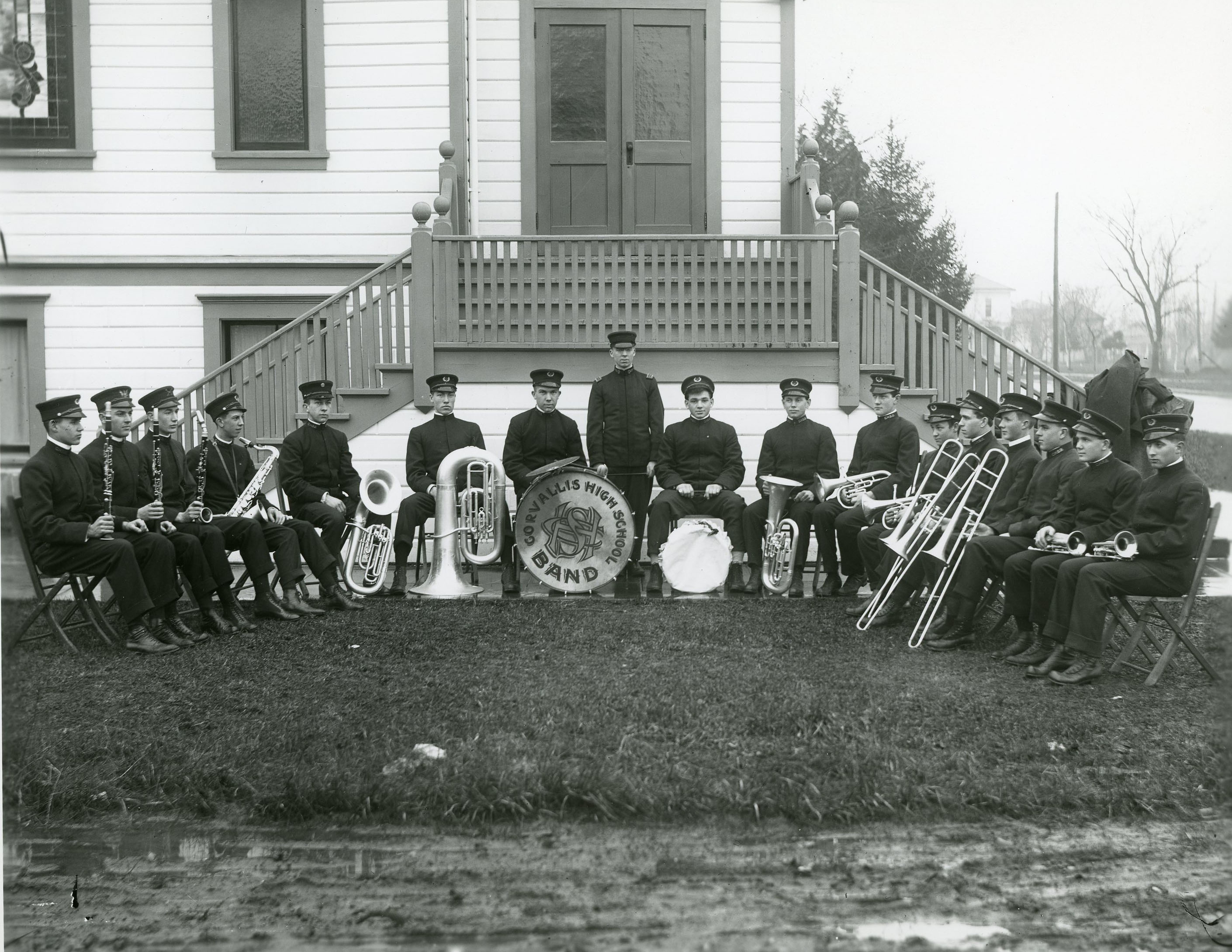
![]()
Corvallis High School band.
Courtesy Oregon Hist. Soc. Research Lib., 36427
-
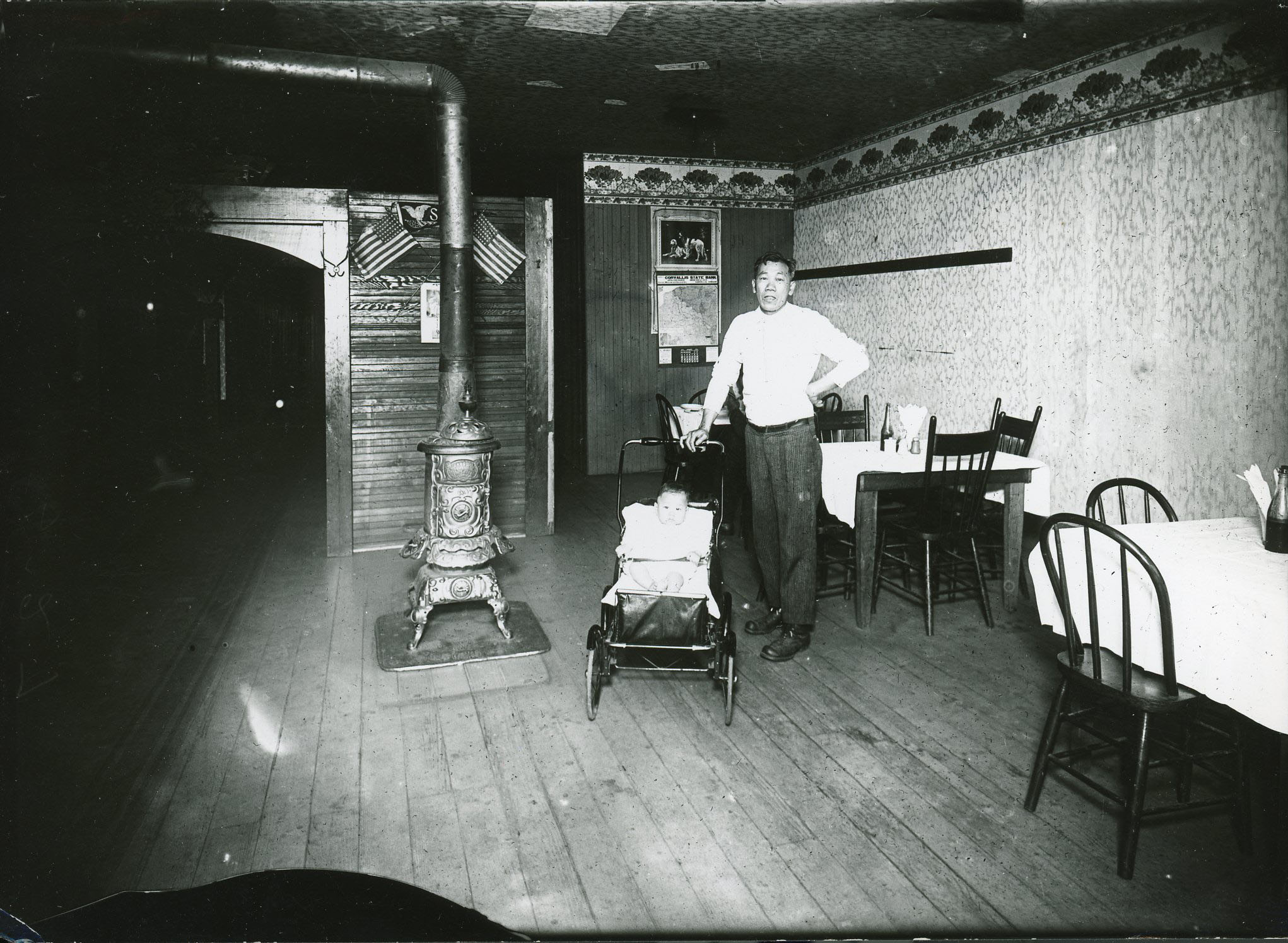
![]()
Cafe in the basement of the Ballard building, 2nd St..
Courtesy Oregon Hist. Soc. Research Lib., bc005474
-
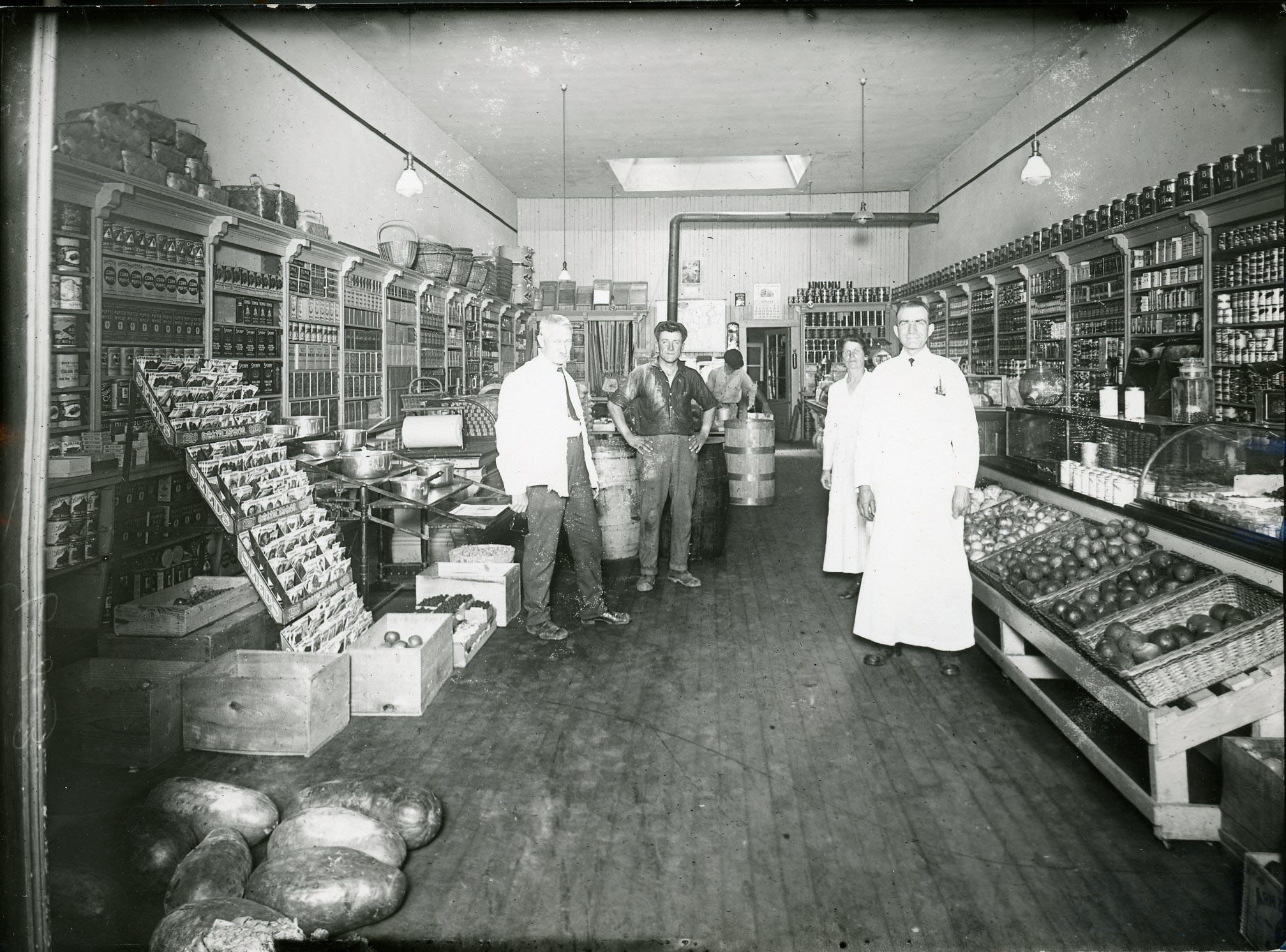
![]()
McGinnis & Son Grocery, 2nd St, Corvallis.
Courtesy Oregon Hist. Soc. Research Lib., OrHi7049
-
![]()
Dr. J.A. Harper, in the Hart Building (room 2).
Courtesy Oregon Hist. Soc. Research Lib., 7089
-
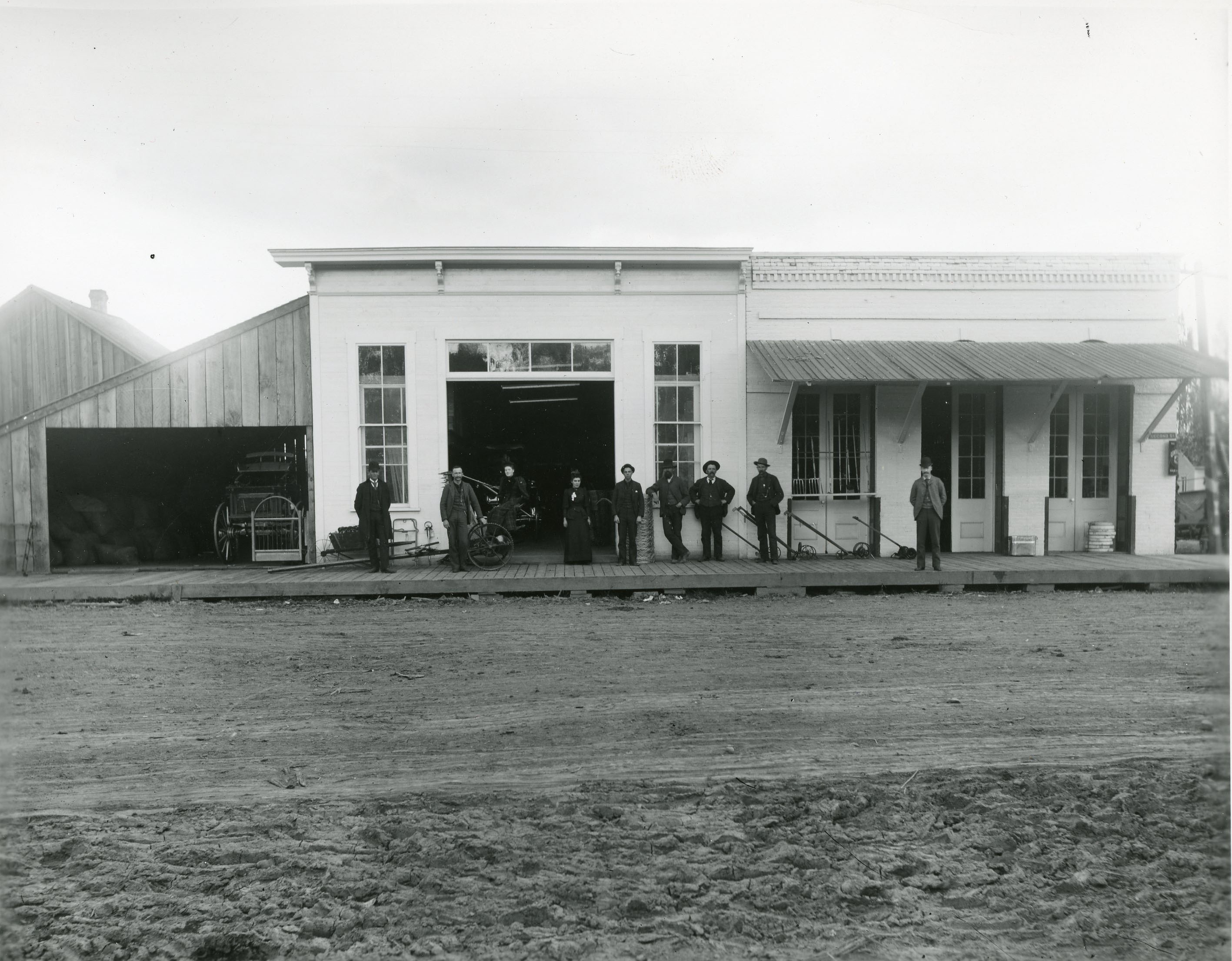
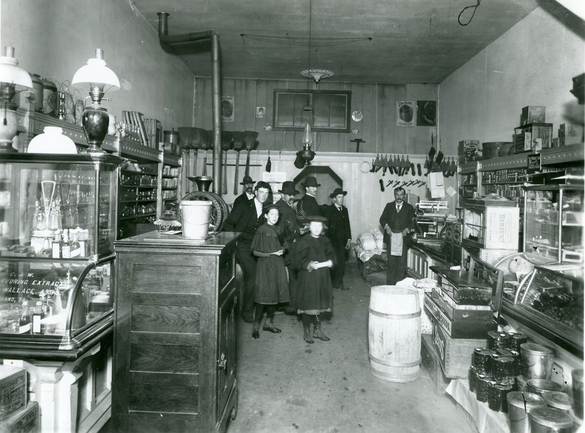
![]()
Early store in Corvallis.
Courtesy Oregon Hist. Soc. Research Lib., 36493
-
![]()
Southern Pacific depot, Corvallis, c. 1917.
Courtesy Oregon Hist. Soc. Research Lib., bc0054154
-
![]()
Aerial view of OAC (now OSU), c.1922.
Courtesy Oregon Hist. Soc. Research Lib., 006934
-
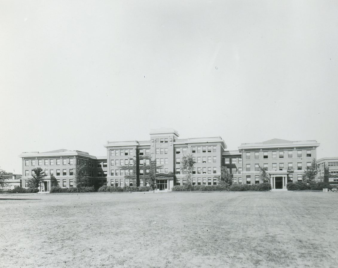
![]()
Oregon Agricultural College (OSU) buildings.
Courtesy Oregon Hist. Soc. Research Lib., 018787
-
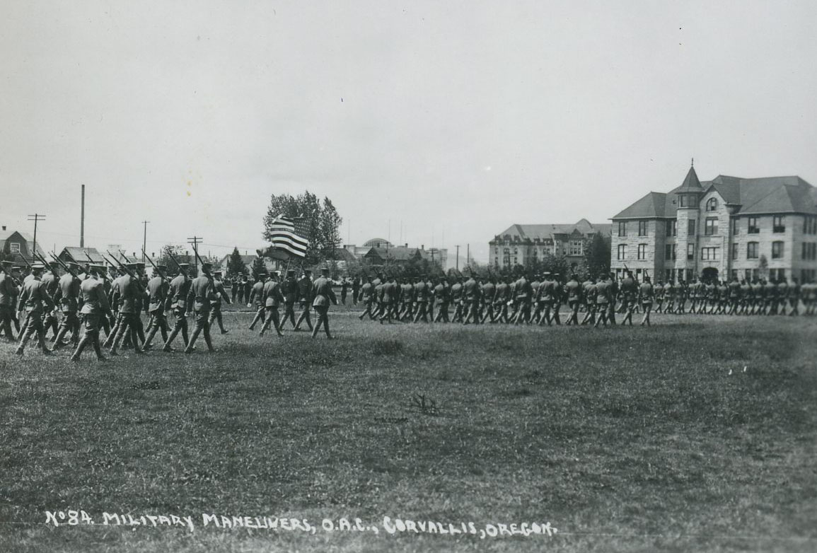
![]()
Military maneuvers on the OAC (now OSU) campus.
Courtesy Oregon Hist. Soc. Research Lib., 018535
-
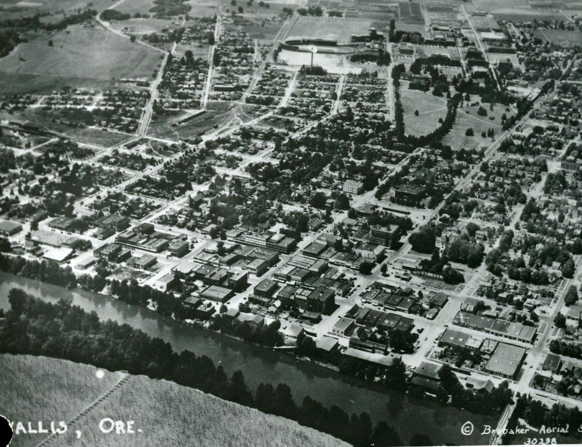
![]()
Aerial of Corvallis, looking west, 1939.
Courtesy Oregon Hist. Soc. Research Lib., 001615
-
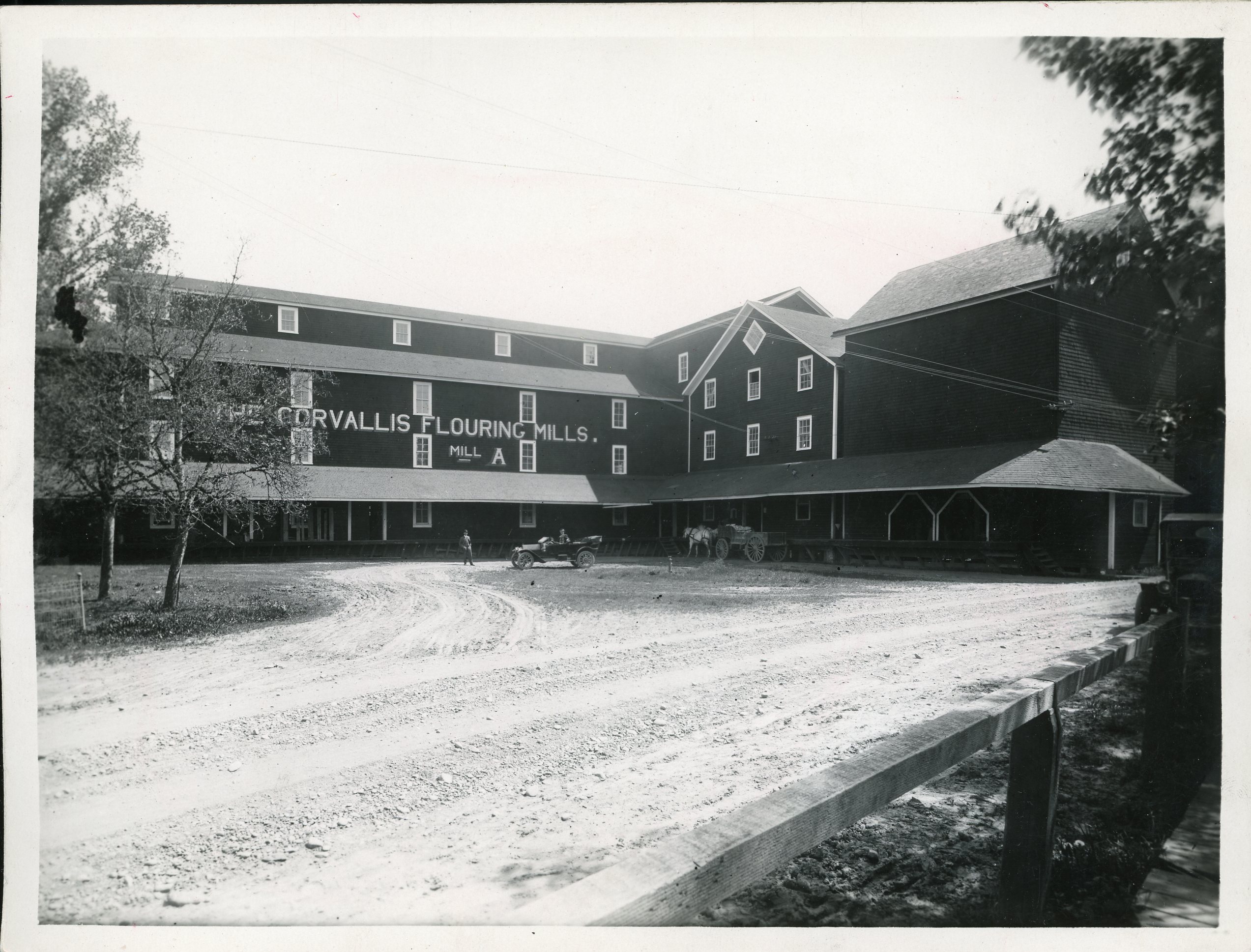
![]()
Corvallis Flouring Mills.
Courtesy Oregon Hist. Soc. Research Lib., 24753
-
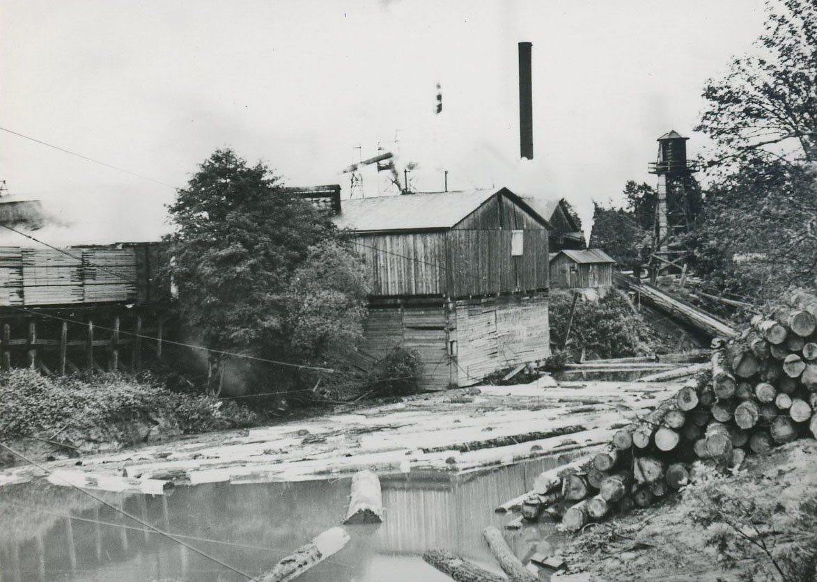
![]()
Corvallis lumber mill on the banks of Mary's River, 1939.
Courtesy Oregon Hist. Soc. Research Lib., 007136
-
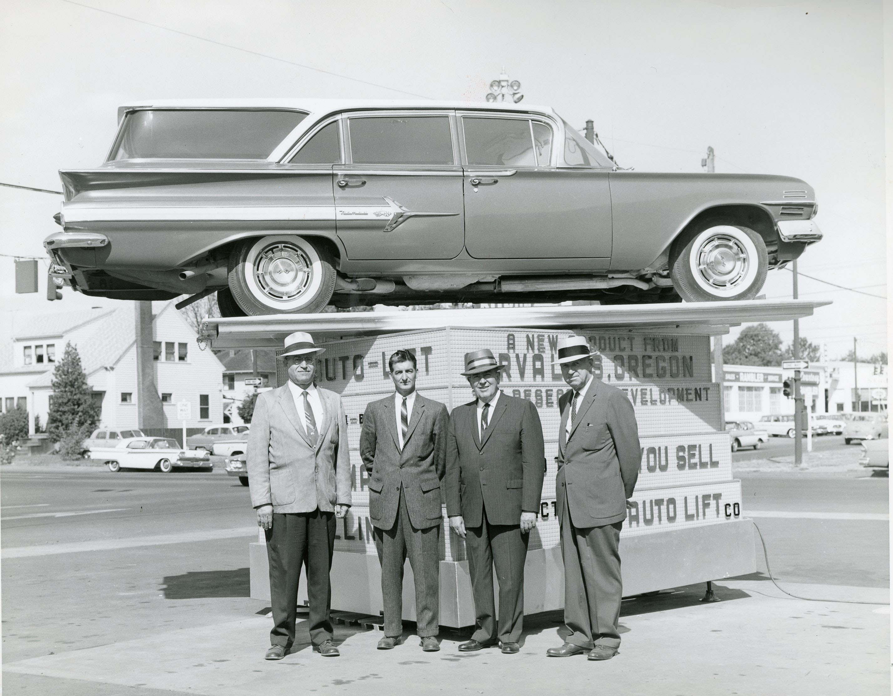
![]()
Corvallis auto dealer, 1960.
Courtesy Oregon Hist. Soc. Research Lib., bc005513
-
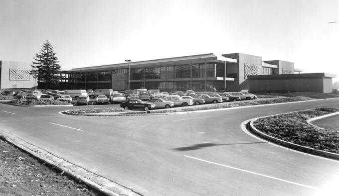
![]()
Hewlett-Packard, main building, 1977.
Courtesy Oregon State University Libraries, Special Collections, PO57:5547


Related Entries
-
![Corvallis and Eastern Railroad]()
Corvallis and Eastern Railroad
Built in the 1870s by T. Egerton Hogg in a fit of over-opportunistic bo…
-
![Corvallis streetcar system]()
Corvallis streetcar system
On December 17, 1889, a group of real estate developers, led by Zephen …
-
![Oregon State University]()
Oregon State University
Oregon State University (OSU) traces its roots to 1856, when Corvallis …
-
![The Arts Center]()
The Arts Center
The Arts Center had its beginnings in the late 1950s, when a friend han…
-
![Whiteside Theatre]()
Whiteside Theatre
On January 27, 2002, after a showing of Lord of the Rings: Fellowship o…
-
![Willamette River]()
Willamette River
The Willamette River and its extensive drainage basin lie in the greate…


Map This on the Oregon History WayFinder
The Oregon History Wayfinder is an interactive map that identifies significant places, people, and events in Oregon history.
Further Reading
The History of Benton County, Benton County Historical Museum.
Benton County Quick Facts from the U.S. Census Bureau, https://www.census.gov/quickfacts/fact/table/bentoncountyoregon,corvalliscityoregon,US/PST045216 accessed Sepember 7, 2017.
Corvallis Gazette-Times, March 27, 1908, April 5, 1924, August 29, 1928, March 19, 1966; and September 9, 2015.
Fagan, David D. History of Benton County, Oregon. Portland, Ore.: A. G. Walling Co., 1885.