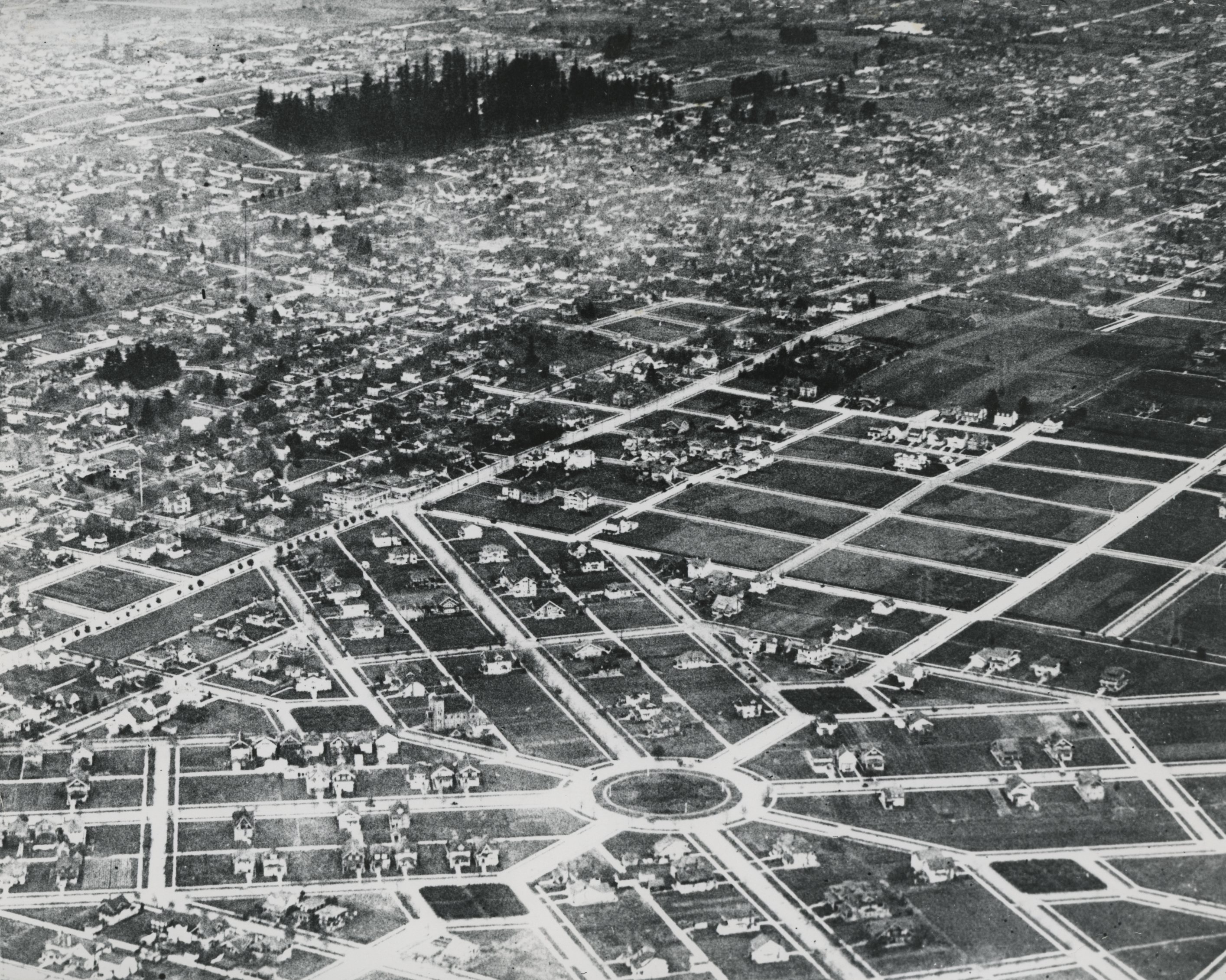
Ladd's Addition is a streetcar-era neighborhood in southeast Portland with a street and park plan that is unique among neighborhoods of comparable age in the United States. The plan for the neighborhood, which is located between Southeast Hawthorne and Division Streets and Southeast Twelfth and Twentieth Avenues, has been protected and preserved without significant change since it was platted in 1891.
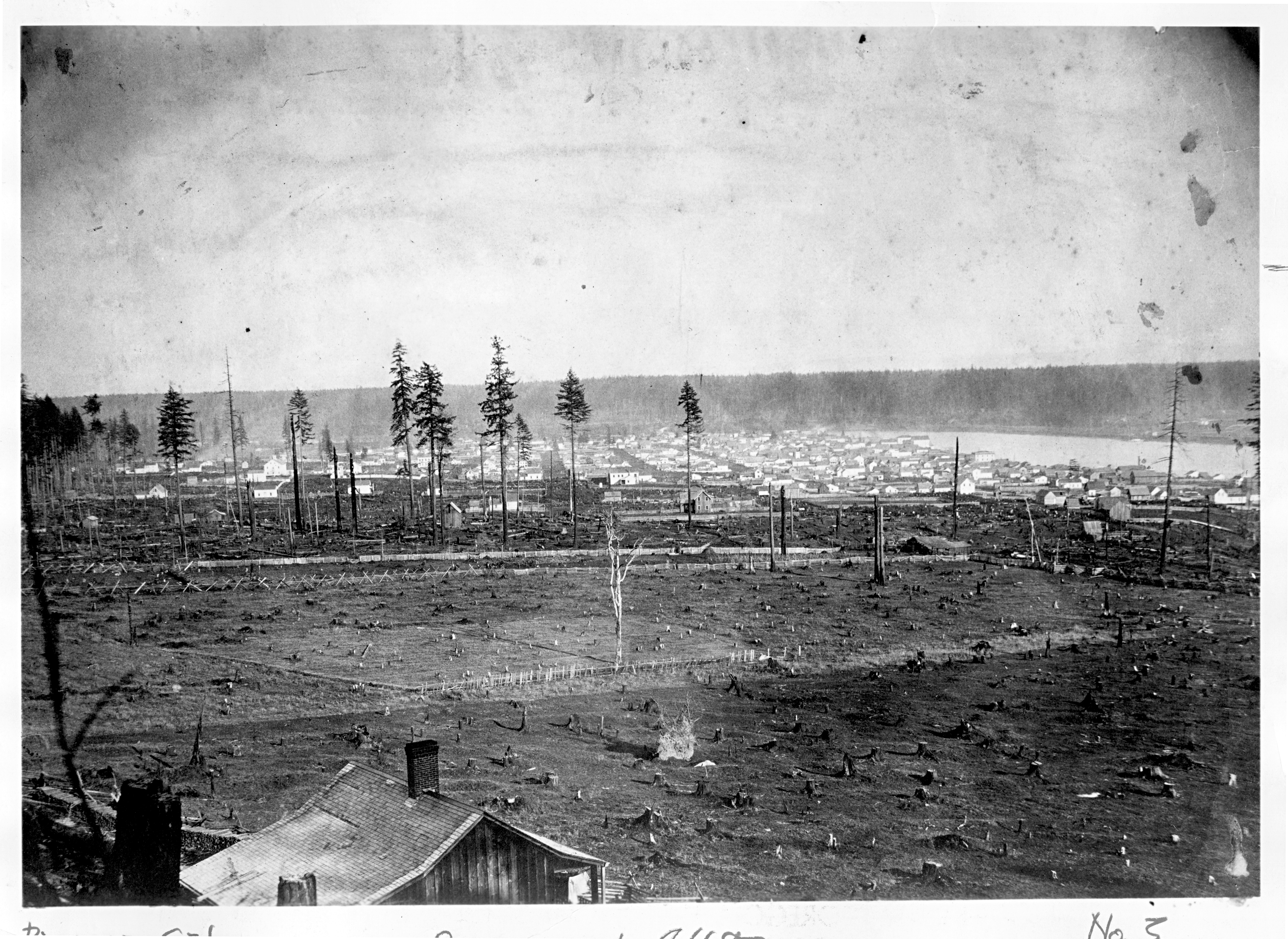
Ladd's Addition is located on land originally acquired by James B. Stephens in 1866 under terms of the Donation Land Claim Act of 1850. Banker and investor William S. Ladd acquired the tract through foreclosure and a sheriff’s sale in 1878 and made it part of a Portland-area real-estate empire that grew to approximately 4,000 acres.
The completion of the first bridge across the Willamette River in 1887 and the consolidation of Portland, Albina, and East Portland into a single city in 1891 were triggers for an eastside boom. The opening of the Madison Street Bridge (now the Hawthorne Bridge) in January 1891 made Ladd’s land holdings in the future Ladd’s Addition the most convenient to the new city’s downtown.
Ladd and his wife Caroline Ladd filed the plat of Ladd's Addition on October 26, 1891, dividing the land into 32 blocks containing 716 lots. The layout includes two through streets that bisect the neighborhood on lines orthogonal to the general city street grid, two through diagonal streets, and sixteen shorter streets. The two major diagonal streets are 80 feet wide, and the other streets are 60 feet wide. The blocks are split by service alleys, which were intended to assist the development of Ladd's Addition as an upper status area.
Five park spaces interrupt the street pattern. The plat filed by the Ladds dedicated the park spaces to the City of Portland “upon the express condition that the said tracts shall not be cut, crossed, or bisected by any way or rights of way for any street railway.”
The street layout was Ladd's own idea, which he developed against the advice of his surveyor. There is an informal tradition that Ladd copied the plan from Washington, D.C., but the plan shows no resemblance to that city nor does it appear to draw significantly on American experiments with circular cities.
After Ladd’s death in 1893, an appraisal of the estate valued Ladd's Addition at one million dollars. The 1883 depression, however, put the neighborhood on hold until 1905, when the first houses replaced dairy herds. Lots first began to sell in the neighborhood’s northern blocks—those closest to the Hawthorne streetcar line. Residents could also use streetcars and the Portland and Oregon City Railway. When the line ceased operation in 1925, Abernathy School was built on that block.
In 1908, the Ladd family real-estate investments were spun off as the Ladd Estate Company so they could be more aggressively liquidated. The company paved streets, built sidewalks, planted trees, and financed small builders who built on speculation. At the same time, City of Portland Park Superintendent E.T. Mische transformed the "Ladd's Squares" into rose gardens.
Residential development progressed from north to south, starting from the edge of the neighborhood most convenient to streetcar transportation and closest to the downtown business district. Upper-middle-class residents built relatively large houses in the northern blocks between 1905 and 1915. As was usual, deed restrictions prohibited commercial uses, including the manufacture and sale of liquor. Houses were required to have a minimum value of $2,500, and no more than one dwelling was allowed per lot.
The southern blocks of Ladd’s Addition filled in as a middle-class bungalow neighborhood during the 1920s and 1930s. The Ladd Estate Company continued to advertise "a residential section for cultured people," and the typical new Ladd's Addition resident was a mid-level white collar or managerial worker, a skilled craftsman, or a small business proprietor.
During the 1920s, Ladd's Addition experienced spillover of Portland's Italian American community from the area south of Division Street. One of the area's most important institutions was St. Philip Neri Church, designed by architect Joseph Jacobberger and built in 1913 to serve Italians in southeast Portland and Catholics within its parish boundaries. An addition to the church was designed by architect Pietro Belluschi and constructed in 1949-1952.
In an era of significant anti-Asian prejudice in West Coast cities, Ladd's Addition was open to families of Chinese origin. The early deed restrictions had excluded Japanese and Chinese from the neighborhood except as servants, but after those restrictions expired, small numbers of Asian American families began to move in. In 1939, members of the Portland Realty Board informally designated Ladd’s Addition as suitable for “oriental” families.
In 1977, the Portland Historic Landmarks Commission and the Portland Planning Commission designated Ladd’s Addition as one of the city’s first two Historic Conservation Districts. It was added to the National Register of Historic Places in 1988.
-
![]()
Aerial view of Ladd's Addition, c.1915.
Courtesy Oregon Hist. Soc. Research Lib., 39917
-
![]()
Central park in Ladd's Addition.
Courtesy Oregon Hist. Soc. Research Lib., 010068
-
![]()
First Evangelical Church, built in 1909, Ladd's Addition.
Courtesy Oregon Hist. Soc. Research Lib., 0124376
-
![]()
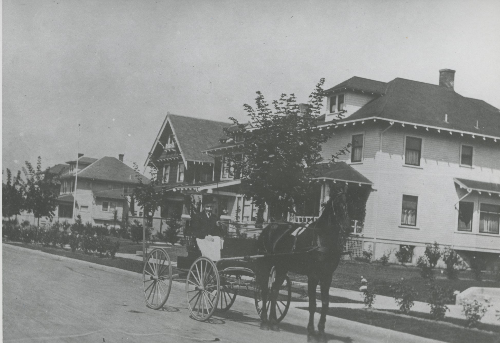
Fred Claussen on Ladd Ave., c.1910.
Courtesy Oregon Hist. Soc. Research Lib., 63021
Related Entries
-
![Ladd Estate Company]()
Ladd Estate Company
The Ladd Estate Company played a major role in the residential developm…
-
![Portland]()
Portland
Portland, with a 2020 population of 652,503 within its city limits and …
-
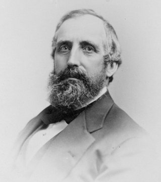
![William S. Ladd (1826-1893)]()
William S. Ladd (1826-1893)
At age twenty-seven, William Sargent Ladd was the youngest mayor to eve…
Related Historical Records
Map This on the Oregon History WayFinder
The Oregon History Wayfinder is an interactive map that identifies significant places, people, and events in Oregon history.
Further Reading
Abbott, Carl. “The Everyday City: Portland’s Changing Neighborhoods.” In Larry W. Price, ed., Portland’s Changing Landscape. Portland, Ore.: Association of American Geographers, 1987.
Abbott, Carl. Portland: Planning, Politics and Growth in a Twentieth Century City. Lincoln: University of Nebraska Press, 1983.
Brewster, William L. William Meade Ladd of Portland Oregon. Portland, Ore.: Metropolitan Press, 1933.

