In late 1805, the members of the Lewis and Clark Expedition arrived on the Pacific Coast, the homeland of the Clatsop and Chinook people. The weather was cold, wet, and windy, and the Corps of Discovery, as the military group was called, built a winter quarters two miles up what is now the Lewis and Clark River, near present-day Astoria. They named the place Fort Clatsop. In 1958, Fort Clatsop National Memorial became a unit of the National Park system. In November 2004, on the eve of bicentennial festivities commemorating the expedition’s four-month stay at the fort, the memorial became part of the newly dedicated Lewis and Clark National Historical Park, which includes units in both Oregon and Washington.
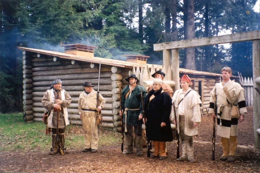
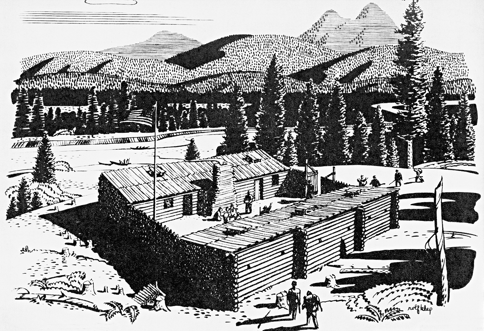
The local effort to create a public park in recognition of the expedition’s exploration of the north Oregon Coast began in 1901, when the Oregon Historical Society (OHS) purchased a three-acre parcel at what was believed to be the site of Fort Clatsop. A bronze marker was installed in 1912, and OHS acquired two additional acres at the site in 1928. To mark the sesquicentennial of Fort Clatsop in 1955, volunteers constructed a replica of the original fort, and Senator Richard Neuberger urged that the area be intensively studied by the National Park Service. The replica was destroyed by fire in October 2005, and hundreds of volunteers completed the new fort by December 2006.
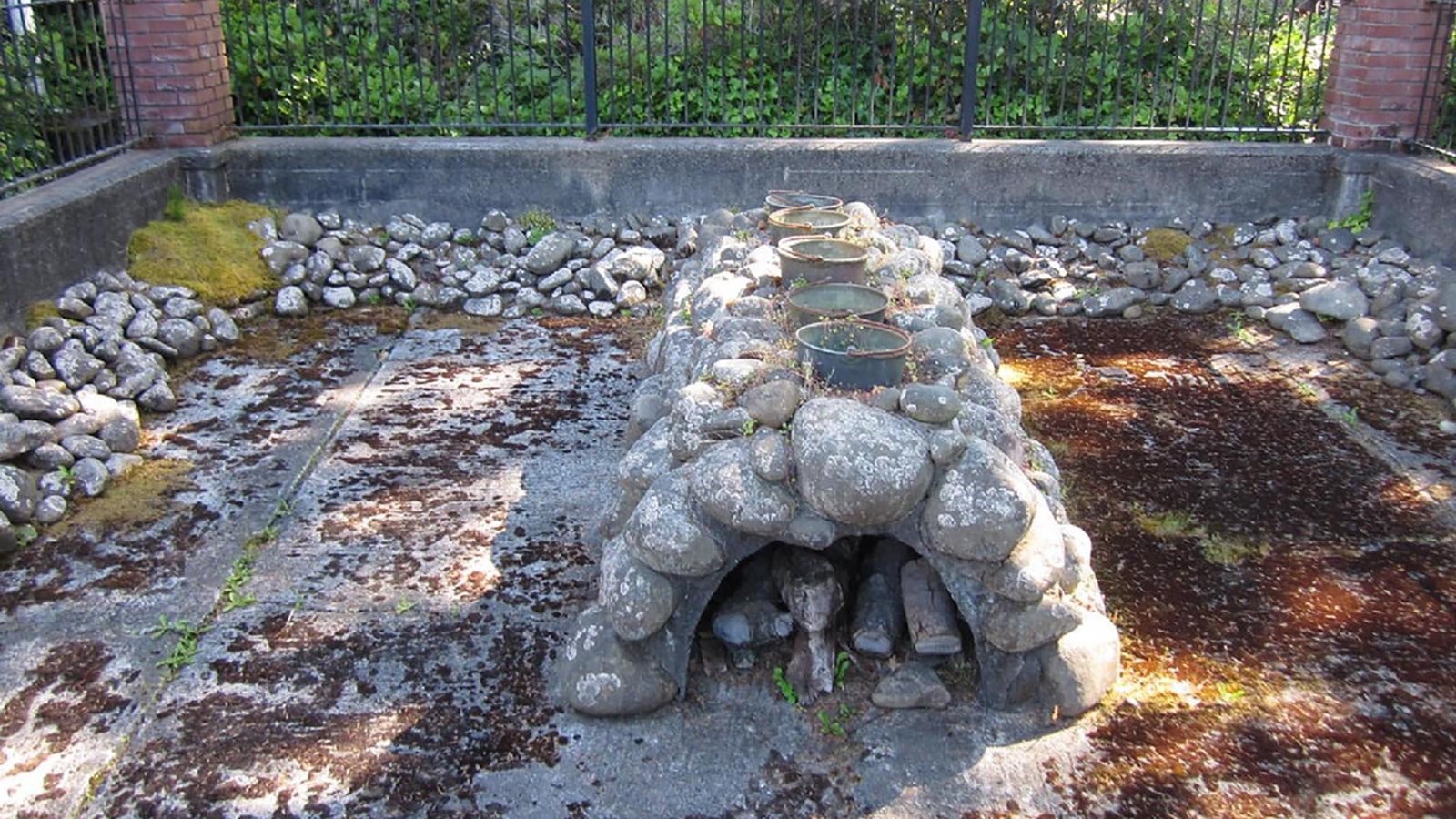
Fort Clatsop was named a national memorial based on the work of historian John A. Hussey, who not only demonstrated the national significance of Fort Clatsop but also provided the identification of and evidence for the expedition’s use of a trail between the fort and the Pacific Ocean. On August 21, 2002, Congress expanded the authorized land base of the memorial from 130 up to 1,500 acres to facilitate construction of the 6.5-mile-long Fort to Sea Trail. The expansion allowed for another trail from Netul Landing (a canoe launch) on the Lewis and Clark River to Fort Clatsop. Two other small parcels, less than 120 acres, were purchased as part of restoring tidal marshes and riverine wetlands. The site of the Corps’ salt works, identified in Seaside by OHS in 1900 with the help of Tsin-is-tum (Jennie Michel, Clatsop), was donated to the National Park Service in 1978-1979 and included in the memorial.
The Lewis and Clark National Historical Park superseded Fort Clatsop National Memorial by an act of Congress on October 30, 2004. The legislation authorized the National Park Service to acquire land (including privately owned parcels) associated with the expedition’s travels along the lower Columbia River. By late 2024, approximately 1,550 acres had been acquired through partnerships at the federal, state, and local levels by purchase, donation, or transfer.
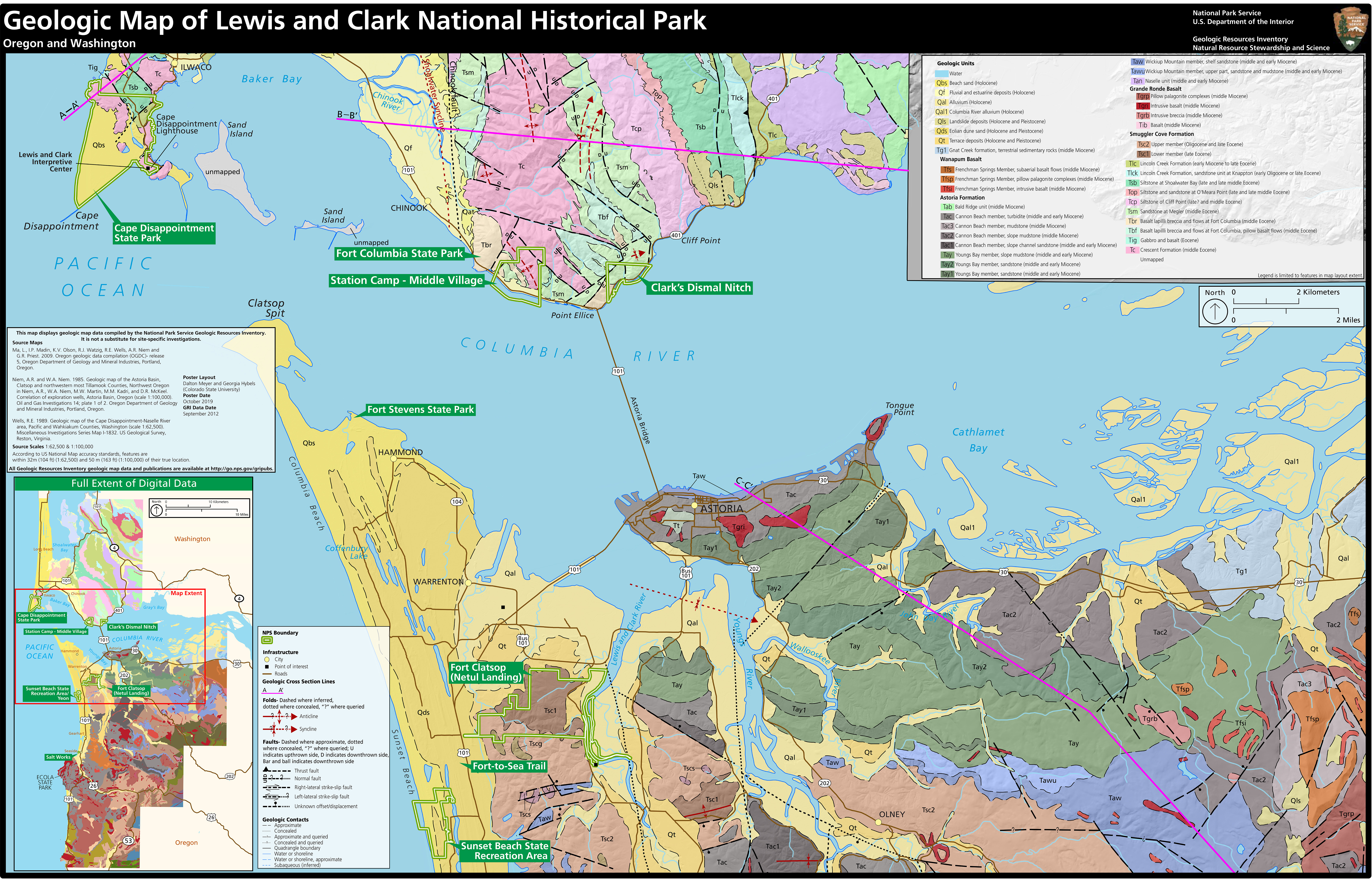
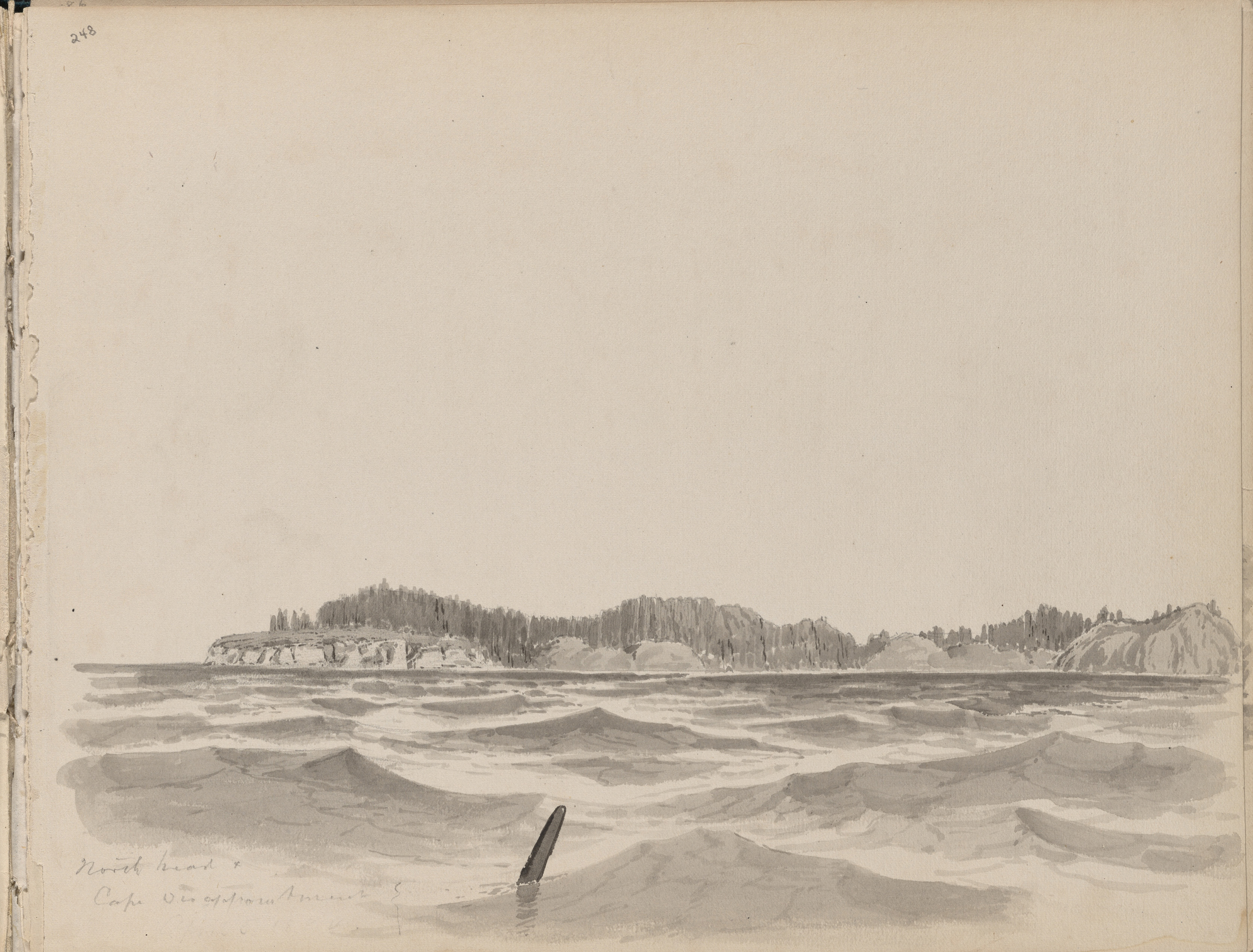
The 2004 legislation centered on three units associated with the expedition in Washington. Clark’s Dismal Nitch, where the expedition was trapped for several days by bad weather, is now a state highway rest area. Station Camp, or Middle Village, is an archaeological site associated with the Chinook people who interacted with the expedition members—an interpretive trail there was developed in cooperation with the Chinook Indian Nation. Cape Disappointment, at the mouth of the Columbia, is the site of a 2,000-acre state park that is used under a federal lease. The park has its own trail system and maintains the Lewis and Clark Interpretive Center. The U.S. Coast Guard and Army Corps of Engineers retain key parcels on the cape.
Five state park units are located within the boundary of the Lewis and Clark National Historical Park. All of the units have connections to the Lewis and Clark Expedition, including Fort Stevens State Park, which includes a Clatsop village site documented by Clark; Sunset Beach State Recreation Area, which includes the western head of the Fort to Sea Trail; and Ecola State Park in Cannon Beach, which Corps members visited in search of a beached whale. Members of the expedition explored present-day Cape Disappointment and Fort Columbia State Parks in Washington before they crossed the Columbia River to spend the winter at Fort Clatsop. All of the state park units cooperate with the National Park Service in areas of mutual interests, such as natural resources and visitor services.
-
![]()
Reenactors at Fort Clatsop.
Courtesy National Park Service -
![]()
Geologic map of Lewis and Clark National Historical Monument.
Courtesy National Park Service -
![]()
Salt works replica, Seaside, 2021.
Courtesy National Park Service -
![]()
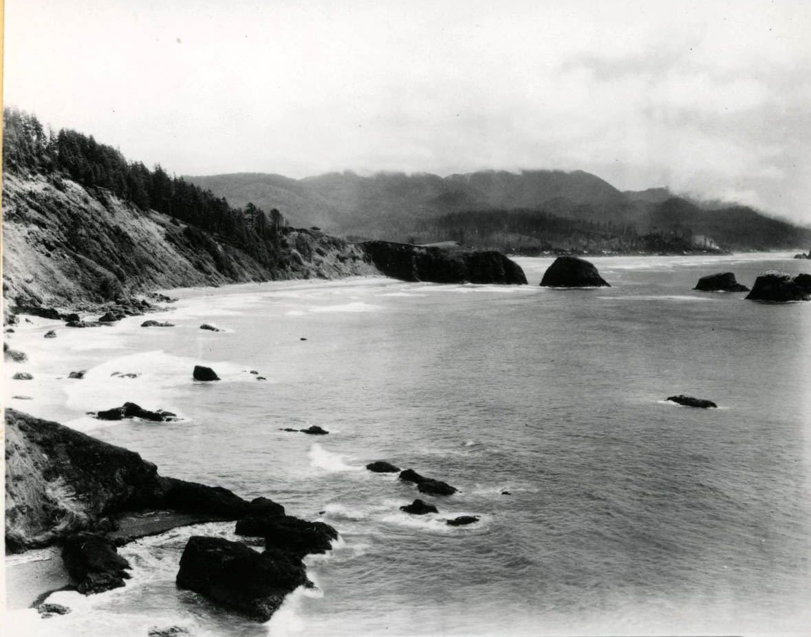
North Head and Cape Disappointment, c. 1884.
Oregon Historical Society Research Library, Cleveland Rockwell, Mss2163_F19_005 -
![]()
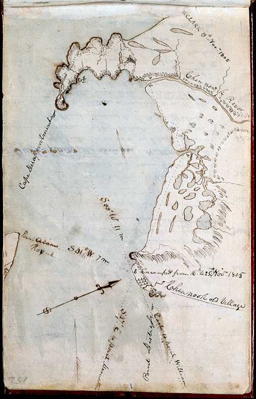
Clark's Station Camp Map, c.1906.
Courtesy Lewis & Clark Trail Alliance
Related Entries
-
![Concomly (1765?-1830?)]()
Concomly (1765?-1830?)
Of the several Chinook men called Concomly at one time or another, the …
-
![Ecola State Park]()
Ecola State Park
Ecola State Park stretches for 1,023 acres from the north end of Cannon…
-
Fort Clatsop
Built in 1805 near present-day Astoria, Fort Clatsop was the winter qua…
-
![Fort Stevens]()
Fort Stevens
One of the three major forts designed to protect the mouth of the Colum…
-
![Indian Place (Seaside)]()
Indian Place (Seaside)
Indian Place was a Native community on the Necanicum River estuary in p…
-
![Lewis and Clark Expedition]()
Lewis and Clark Expedition
The Expedition No exploration of the Oregon Country has greater histor…
-
![Portland Basin Chinookan Villages in the early 1800s]()
Portland Basin Chinookan Villages in the early 1800s
During the early nineteenth century, upwards of thirty Native American …
Related Historical Records
Map This on the Oregon History WayFinder
The Oregon History Wayfinder is an interactive map that identifies significant places, people, and events in Oregon history.
Further Reading
Deur, Douglas. Empires of the Turning Tide: A History of Lewis and Clark National and State Historical Parks and the Columbia-Pacific Region. Seattle WA: Government Printing Office, 2016.
Cannon [Miller], Kelly. Administrative History: Fort Clatsop National Memorial. Seattle, WA: Government Printing Office, 1995.
Hussey, John A. “Suggested Historical Area Report, Fort Clatsop Site, Oregon,” April 10, 1957; and “The Lewis and Clark Trail from Fort Clatsop to the Clatsop Plains, Oregon,” August 1958. National Park Service Region 4, San Francisco, California, in LCNHP archives, Astoria, Oregon.

