Nehalem Bay State Park occupies almost 900 acres on a sand spit separating Nehalem Bay from the Pacific Ocean. Native Americans once occupied seasonal homes along the bay side of the spit. The area was surveyed for white settlement in the 1850s and platted for real estate development in 1908. After acquiring the properties for back taxes in the 1930s, Tillamook County transferred the land to the State of Oregon for a park. During the 1940s and 1950s, workers planted European beach grass, shore pine, and Scotch broom to stabilize the dunes—a process that took an additional twenty years. The park opened in 1972.
In addition to three miles of beaches facing the ocean and another three miles along the bay, the park includes a boat ramp, horse camps and equestrian trails, a paved biking trail, and facilities for meetings and presentations. Nehalem Bay State Park offers more than 300 campsites, from yurts to full hookups to tent sites for hikers and bikers. A sand road leads to the entrance of Nehalem Bay at the south end of the park, and several parking lots accommodate day use vehicles.
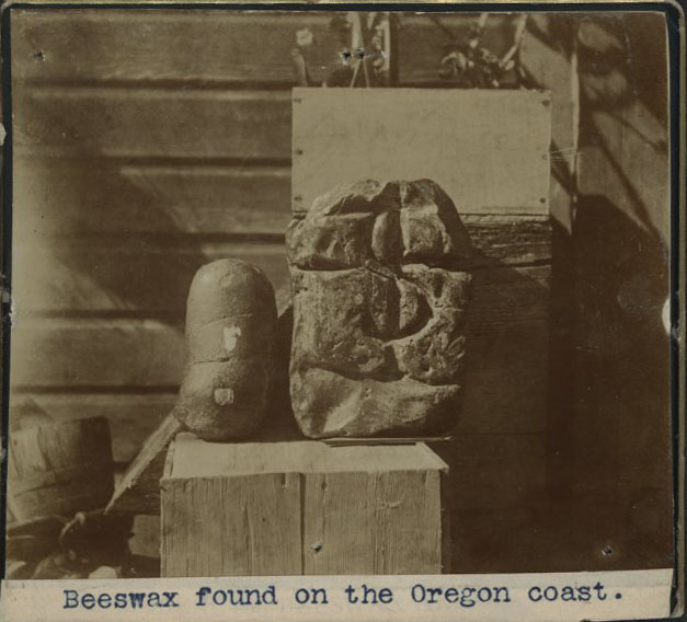
The park was originally the homeland of the Tillamook Indians. Archaeological research has also uncovered evidence of shipwrecks at the site. A group of researchers for Beeswax Wreck Project, for example, has identified some remains from a Spanish galleon, which they believe went aground in the eighteenth century, earlier than most of the European exploration of the region.
Nehalem Bay State Park is the only state park to accommodate airplanes. A 2,500-foot landing strip built in 1958 gives access to six fly-in campsites. In October 2009, a new master plan was developed for the park, which will improve access, capacity, and recreational opportunities.
-
![]()
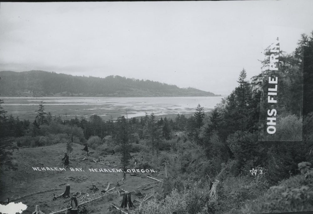
Nehalem Bay, Oregon.
Courtesy Oregon Hist. Soc. Research Lib., ba013262
-
![]()
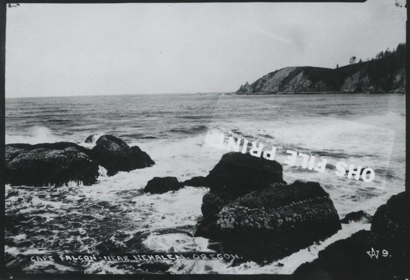
Nehalem.
Courtesy Oregon Hist. Soc. Research Lib., ba013268
Related Entries
-
![Beeswax shipwreck]()
Beeswax shipwreck
Since the earliest days of EuroAmerican settlement on the Oregon Coast,…
-
![Neahkahnie Mountain]()
Neahkahnie Mountain
Neahkahnie Mountain, about twenty miles south of Seaside, is a prominen…
-
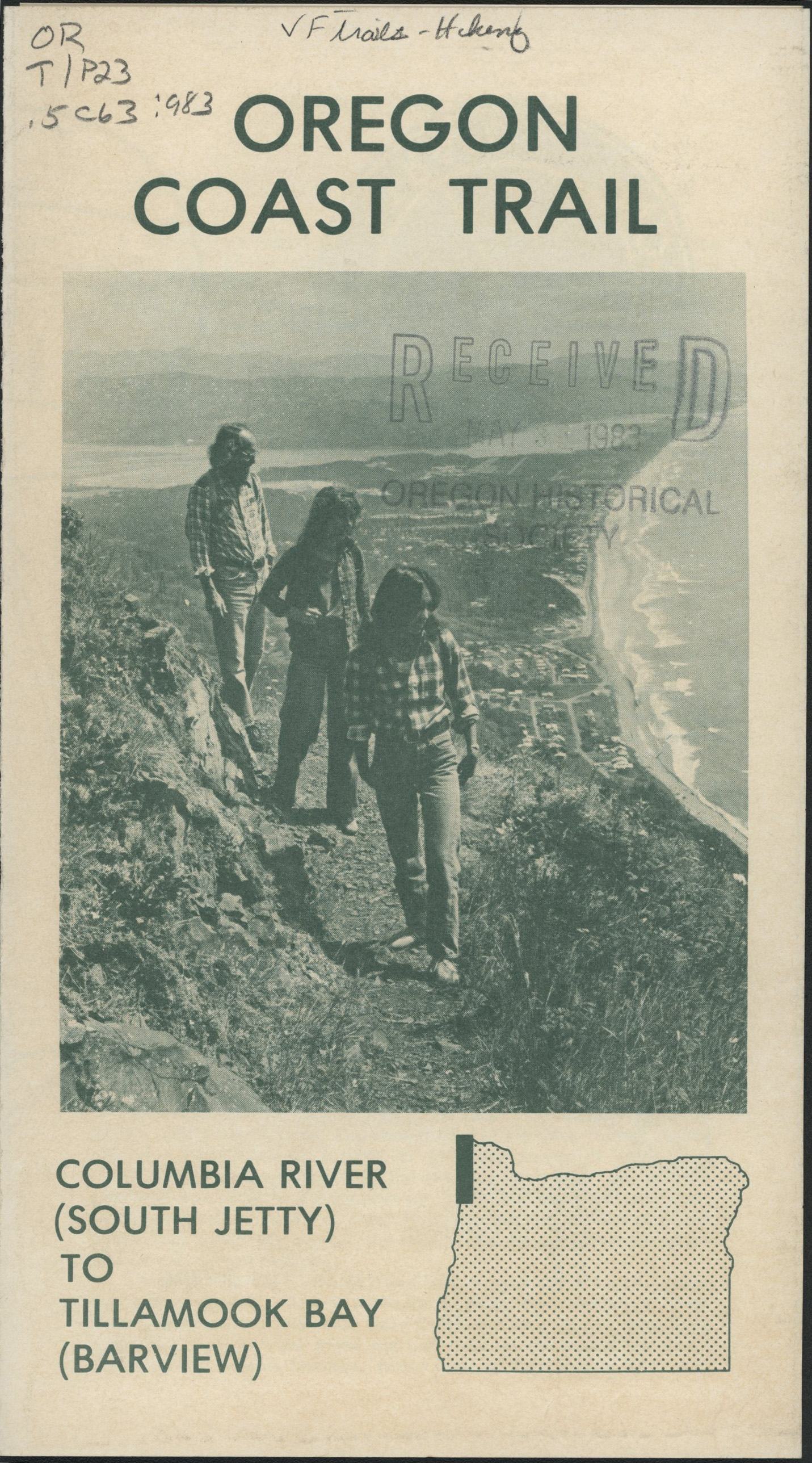
![Oregon Coast Trail]()
Oregon Coast Trail
Winding for 382 miles along the Oregon Coast, the Oregon Coast Trail is…
-
![US 101 (Oregon Coast Highway)]()
US 101 (Oregon Coast Highway)
Many places on the Oregon coast were virtually inaccessible in the earl…

Related Historical Records
Map This on the Oregon History WayFinder
The Oregon History Wayfinder is an interactive map that identifies significant places, people, and events in Oregon history.
Further Reading
Armstrong, Chester. Oregon State Parks History: 1979-1963. Oregon State Highway Dept, 1965.
Beach, Mark. Nehalem Bay State Park images. neahkahnievisions.smugmug.com/Places/Nehalem-Bay-State-Park.