Sherwood is located on the traces of the Oregon City–Lafayette Wagon Trail, which cut through the A.Z. Hall Donation Land Claim of the late 1850s. This high plain, created by the Missoula Floods at the end of the Ice Age, is located southwest of Portland and is nestled between the mountain ridges of Parrett Mountain to the east, Chehalem Mountain to the west, and Rex Hill to the south. These mountains stopped the wash of the floods and pushed the debris back into a huge eddy that created the Cipole Cataracts, which farmers used to call the Onion Flats. Today, this area is part of the Tualatin River National Wildlife Refuge. The area was originally inhabited by the Atfalati Indians (Kalapuyan), who were eventually overrun by disease and EuroAmerican settlement.
One of the first white settlers in the area was James C. Smock, who immigrated to the West at the age of four by way of the Oregon Trail with his mother and adopted family, the Halls. He bought land, including the family log mill, in present-day Stella Olsen Park from A.Z. Hall. Smock built a grain mill and supply store near the log mill. He married Mary Ellen Sebastian in 1868.
In 1871, the Smocks traveled to Nodaway, Missouri, where J.C. Smock had been born. On the trip he became interested in the railroad, and he signed an agreement with the Portland and Willamette Valley Railway for a right-of-way through his property. The next year, thousands of Chinese laborers built the railroad through the settlement.
By 1890, the Smocks had surveyed and platted nine square blocks of the town, dubbing it Smockville. They moved an old house Hall had built in 1868 to the middle of the blocks—the first milled lumber building in the town. The building is known as the Smock House and is now part of the Sherwood Heritage Center. Railroad Street became the “front porch” of the town, with Seeney Hall as the city council chambers.
In 1890, four Portland businessmen determined that the rich clay left by the Ice Age floods was suitable for making bricks. They invested in a brick factory, using wood from a nearby pine grove to supply fuel. The factory supplied much of the brick for building early Portland; so much of the brick was shipped elsewhere, that very little was used locally. A U.S. post office opened in 1891. That same year, the citizens changed the name of the town to Sherwood as suggested by resident Robert Alexander, who reportedly likened the area to the Sherwood Forest. The town was incorporated in 1893.
During the early twentieth century, surrounding farms were cleared for fruit orchards. By 1917, the old brickyard was the site of a cannery, where apples, pears, Italian plums, and berry jams and jellies were canned. Later, the cannery processed beans and sauerkraut. By 1919, Highway 99 was completed, and produce was trucked into town. During the 1920s, the onion flats of Cipole were producing more onions than anywhere in the Northwest.
Sherwood was an agricultural town for decades, but the cannery closed in 1970. Highway 99 became a busy crossroad, and Sherwood became a bedroom community for Portland and other nearby cities. In 2020, the town had approximately 20,450 residents.
From 1945 to 1949, young men in the newly developed Kiwanis Club and other community groups started a “Band of Merry Men,” complete with all the characters of the Robin Hood Legend. They acted as ambassadors of Sherwood in other Oregon town events, such as parades or summer festivals. By 1952, residents had created the “Robin Hood Festival” (an event still held annually in Sherwood), and between 1953 and 1954, Sherwood High School changed its mascot and became “Home of the Bowmen.”
-
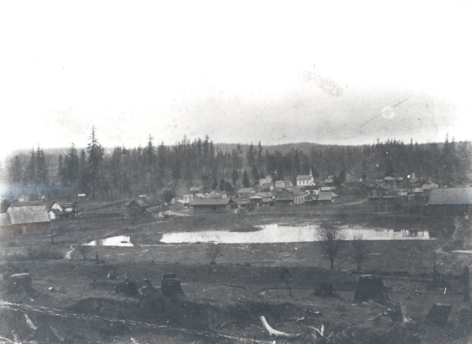
![Sherwood, c. 1890]()
Sherwood, c. 1890.
Sherwood, c. 1890 Courtesy Oreg. Hist. Soc. Research Lib., neg. no. 54810
-
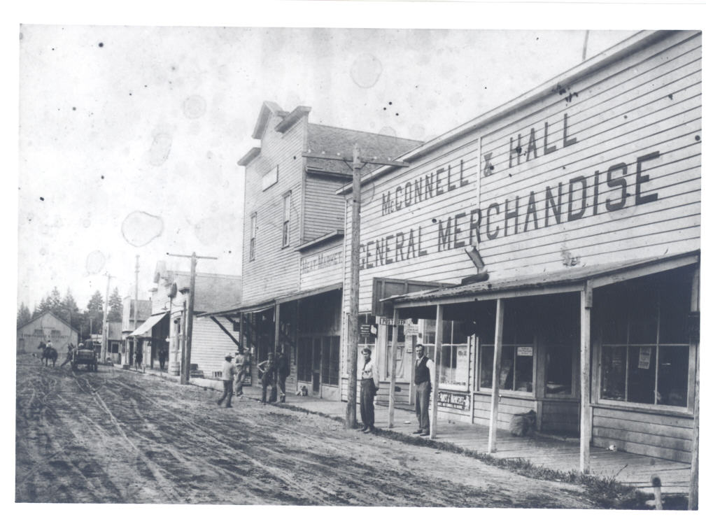
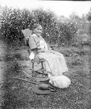
![Sherwood]()
Sherwood.
Sherwood Courtesy Oreg. Hist. Soc. Research Lib., neg. no. 51904
-
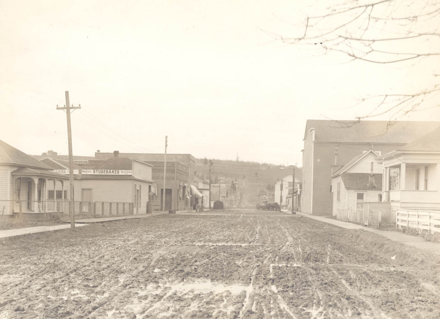
![Sherwood]()
Sherwood.
Sherwood Courtesy Oreg. Hist. Soc. Research Lib., Neg. No. 51902
-
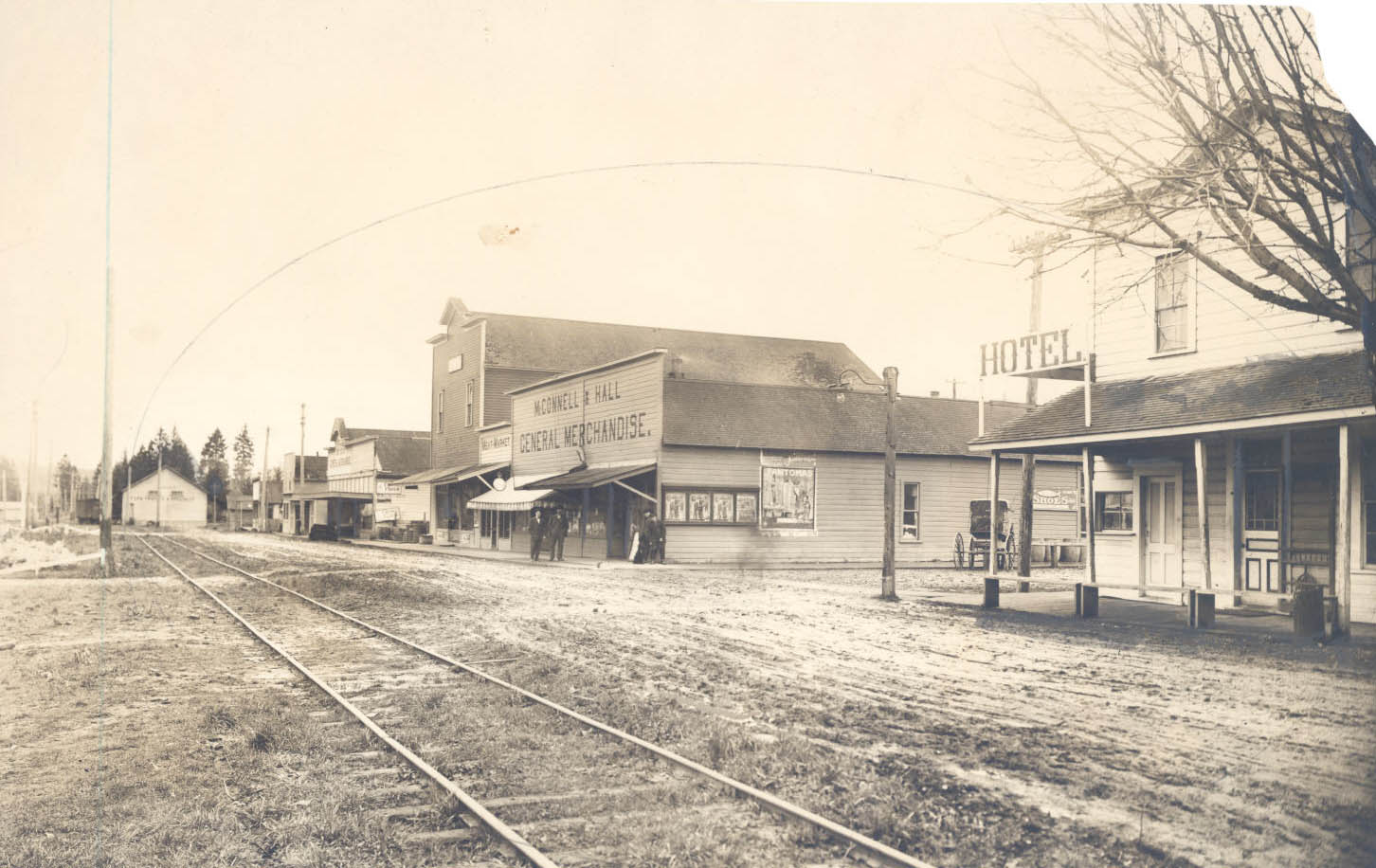
![Railroad Street]()
Railroad Street.
Railroad Street Courtesy Oreg. Hist. Soc. Research Lib., neg. no. 52631
-
![Brickyard and factory, c.1890]()
Brickyard and factory, c.1890.
Brickyard and factory, c.1890 Courtesy Oreg. Hist. Soc. Research Lib., neg. no. 53000
-
![Sherwood archers compete at Robin Hood Days, 1965]()
Sherwood archers, 1965.
Sherwood archers compete at Robin Hood Days, 1965 Courtesy Oreg. Hist. Soc. Research Lib., 023711
-
![Medieval tourney, 1982]()
Medieval tourney, 1982.
Medieval tourney, 1982 Courtesy Oreg. Hist. Soc. Research Lib., neg. no.02384


Related Entries

Map This on the Oregon History WayFinder
The Oregon History Wayfinder is an interactive map that identifies significant places, people, and events in Oregon history.
Further Reading
Reynolds, June. Sherwood: A Sense of Time and Place, vol. I: Beginnings to 1919. Sherwood, Ore.: Cheyenne Printing, 2006.
Reynolds, June. Sherwood: Tales from the Attic (Continuing Vol. I 1859-1919). Sherwood, Ore.: June Reynolds, 2012.