Each urban area in Oregon is required to define an Urban Growth Boundary (UGB). Housing tracts, shopping malls, and other kinds of urban development are not allowed to sprawl past that boundary, while agricultural lands and open space outside a UGB are preserved.
Oregon's land-use system and UGBs are an attempt to make development choices intentional and public rather than piecemeal and driven by private interests and profits. As a result, proponents say, cities in Oregon are more compact and have avoided being connected by miles of low-density suburbia. Under this system, Portland has become a nationally acclaimed model of effective urban planning, and Oregon's agricultural land continues to coexist with its developing cities, sometimes showing impressive growth (such as in vineyards).
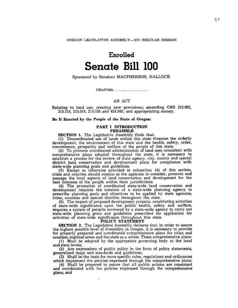
Oregon's system of land-use regulation was enacted by Senate Bill 100 on May 2, 1973. The legislation was championed by Republican Governor Tom McCall; State Senator Hector Macpherson, a dairy farmer in the Willamette Valley; and a coalition of progressive, urban, and agricultural interests. Drawing on a previous regulatory system developed for the Salem area, the bill created the state Department of Land Conservation and Development (DLCD) and within it the seven-member Land Conservation and Development Commission (LCDC).
Under the system, cities are required to submit their proposed UGBs to the LCDC and to justify them according to "19 Statewide Planning Goals," which include preservation of highest-quality agricultural lands and conservation of forests and open space. The goals also aim to develop high-quality, livable cities and towns by increasing density, improving public transit options, and encouraging affordable housing close to jobs.
In 1979, a regional government, Metro, was created by Portland-area voters. One of its responsibilities is to manage the UGB in the three-county metropolis (Multnomah, Clackamas, and Washington). Metro is one of some 240 UGB jurisdictions in the state. These urban zones are required to adjust their UGBs every five years to maintain a "twenty-year supply" of land that can be developed. Metro expanded the Portland-area boundary in 2002 by 18,867 acres.
Critics have argued that the UGB system infringes on private property rights and may create higher housing prices through land scarcity. Defenders point out that effective planning may increase property values by creating desirable and effective communities. Ballot initiatives intended to roll back planning passed easily in 2000 (Measure 7, overturned by the Oregon Supreme Court) and 2004 (Measure 37). In 2006, however, voters strongly reaffirmed statewide land regulation when Measure 49 passed by 62 percent, making Measure 37 more flexible.
The land-use system continues to evolve. In 2005, the legislature created the Oregon Task Force on Land Use Planning—the "Big Look"—to conduct a comprehensive review and to recommend changes to the legislature. Two years later, Senate Bill 1011 allowed Metro and Portland-area counties to begin developing a system of "urban reserves" outside the current UGB to define where future growth would be directed over the next forty to fifty years, providing greater efficiency and longer-term vision than the five-year revision cycles could achieve.
-
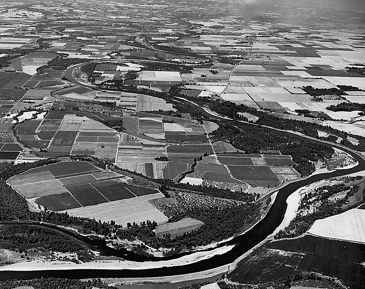
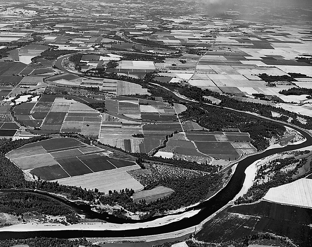
Willamette Valley, n of Albany, ca 1970, bb003272.
Willamette Valley north of Albany, about 1970. Oreg. Hist. Soc. Research Libr., bb003272
-
![]()
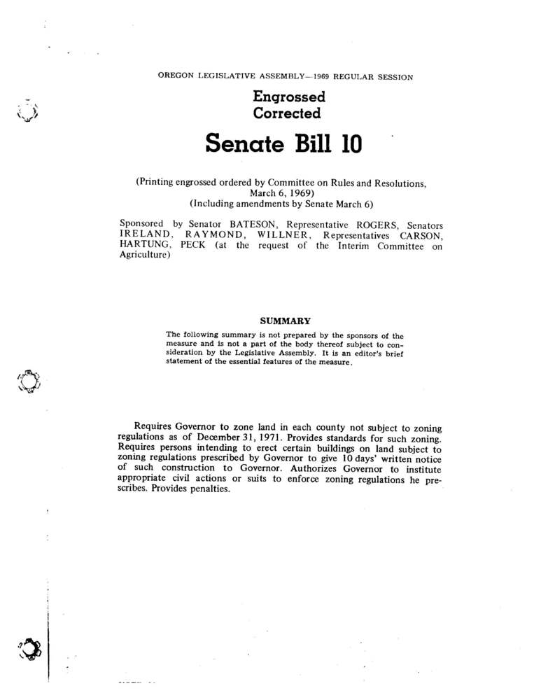
First page of Senate Bill 100.
Courtesy Oregon State Archives
Related Entries
-
![1000 Friends of Oregon]()
1000 Friends of Oregon
1000 Friends of Oregon was founded in 1975 by Governor Tom McCall and a…
-
![Hector Macpherson (1918-2015)]()
Hector Macpherson (1918-2015)
Hector Macpherson Jr. received the Distinguished Leadership Award for a…
-
![Land Conservation and Development Commission (LCDC)]()
Land Conservation and Development Commission (LCDC)
In 1973, Oregon Senate Bill 100 established the Land Conservation and D…
-
Land Use Planning
In 1973, Oregon took a pioneering step in land use planning. Signed int…
-
![Metro Regional Government]()
Metro Regional Government
Metro is a regional agency that serves the urbanized portions of Multno…
-
![Senate Bill 100]()
Senate Bill 100
Signed into law on May 29, 1973, Oregon Senate Bill 100 created an inst…
-
![Thomas William Lawson McCall (1913-1983)]()
Thomas William Lawson McCall (1913-1983)
Tom McCall, more than any leader of his era, shaped the identity of mod…
Related Historical Records
Map This on the Oregon History WayFinder
The Oregon History Wayfinder is an interactive map that identifies significant places, people, and events in Oregon history.
Further Reading
"History of Oregon's Land Use Planning." Oregon Department of Land Conservation and Development. http://www.oregon.gov/LCD/history.shtml.
"Urban Growth Boundary." Metro Government. http://www.oregonmetro.gov/index.cfm/go/by.web/id=27.
Oates, David. City Limits: Walking Portland's Boundary. Corvallis: Oregon State University Press, 2006.
Ozawa, Connie P., The Portland Edge: Challenges and Successes in Growing Cities. Washington, D.C.: Island, 2004.

