The City of Vale is about twelve miles west of the Oregon-Idaho state line along the Malheur River at the confluence of Bully Creek. French-Canadian trappers, who likely gave the settlement its name, built the first known cabin in the area in the early nineteenth century along the banks of Willow Creek. By midcentury it was an important stopping place for emigrants on the Oregon Trail, and Vale now commemorates that history with heritage sites and events. In 1887, the Oregon Legislative Assembly created Malheur County from the southern part of Baker County, and voters made Vale the Malheur County seat in 1888. A year later, the Town of Vale was incorporated; it was named the City of Vale in 1905.
For centuries, Northern Paiute people lived in the area, where they made seasonal rounds to hunt, fish, and gather roots, seeds, and bulbs. But gold miners and cattle ranchers encroached on Paiute traditional lands during the 1860s and 1870s, and the U.S. Army waged war against Northern Paiute, Shoshone, and Bannock people to protect the interests of miners and resettlers. In 1872, the majority of Northern Paiute were removed to the Malheur Reservation in present-day Harney County. A few years later, in 1878, many Northern Paiute fought in the Bannock War, which ended when the U.S. Army gained the upper hand and forced Native people onto the Yakama Reservation in Washington Territory. The descendants of the Northern Paiute are now members of the Burns Paiute Tribe (primarily the Wadatika Band) and the Confederated Tribes of Warm Springs.
In the early nineteenth century, the area of Vale was known as a stopping place for fur trappers, missionaries, and Oregon Trail emigrants. The Astor Expedition passed through the region in 1811–1812, and Peter Skene Ogden and Hudson’s Bay Company employees trapped beaver there in the late 1820s. Missionaries, including Marcus and Narcissa Whitman and Henry and Eliza Spaulding, arrived in Oregon Country by wagon in 1836 and stopped in Vale on their way to the Columbia River. Vale became the first regular stop along the Oregon Trail in present-day Oregon, and a trading post was established near the future town in 1853. Several pioneers recorded in their travel journals that the Malheur River contained hot springs where they enjoyed much-needed baths and rest.
When gold miners arrived in the region beginning in the 1860s, stockmen and businessmen such as Louis B. Rinehart made a living in Vale by supplying beef to miners. Rinehart’s house, constructed in 1872 from locally quarried sandstone, was later used as a hotel, store, post office (1883), and a stagecoach stop (1878). The house, now the Rinehart Stone House Museum, was listed on the National Register of Historic Places in 1972. Other local stone structures include the Vale Hotel and the Grand Opera House (1896), the First Bank of Vale (1901), and the Vale Drug Store (1907).
The biggest boom in town construction occurred during the 1910s. The Malheur Valley Railway (as part of the Oregon Short Line) constructed a line between Vale and Ontario in 1907. The Oregon–Washington Railroad and Navigation Company expanded the line and connected Vale to Burns in 1925. Those railroad connections helped distribute Vale’s agricultural produce and livestock throughout the region.
Vale Hot Springs, which Native people traditionally used for medicinal and ceremonial uses, has been part of the town’s heating systems for over a century. Geothermal energy heats several private residences and businesses, including a natatorium (an indoor pool) built in 1900 and Oregon Trail Mushrooms, a farm that once employed 130 workers and produced 2,500 tons of white button mushrooms.
As of 2023, the city has a total area of 1.14 square miles, with approximately 2,000 residents. The surrounding land is largely agricultural, with row crops, dairy cows, and beef cattle. Cattle and livestock are central to the local economy, and each week Vale hosts one of the largest livestock auctions in Oregon. The district office of the Bureau of Land Management in Vale manages 5.1 million acres of public land that support grazing and timber permits, mining claims, and recreational areas along the Owyhee and Snake Rivers. At the BLM’s Keeney Pass Interpretive Center, located just outside Vale, visitors can walk the Oregon Trail route and view wagon ruts.
Vale residents keep the Oregon Trail legacy alive with an annual Fourth of July parade and a four-day rodeo that includes the Ranch Rodeo and Oregon Trail Days. The Vale Mural Society, established in 1992, chronicles significant people and events on the walls of historic buildings throughout the city. An outdoor gallery promotes the city’s motto: “Born and raised on the Oregon Trail.”
-
![]()
Postcard of Vale Street Scene.
Oregon Historical Society Research Library, photo file 1075
-
![]()
Business district, Vale.
Oregon Historical Society Research Library, photo file 1075, OrHi 80894
-
![]()
Hotel in Vale.
Oregon Historical Society Research Library, photo file 1075, OrHi 92799
-
![]()
Old Stone House, Vale.
Oregon Historical Society Research Library, photo file 1075, OrHi 80371
-
![]()
Vale Band, 1910.
Oregon Historical Society Research Library, photo file 1075
-
![]()
Postcard of Vale Courthouse.
Oregon Historical Society Research Library, photo file 1075
-
![]()
Vales Hotwells Laundry.
Oregon Historical Society Research Library, photo file 1075
-
![]()
Swinging bridge over the Malheur River in Vale.
Oregon Historical Society Research Library, photo file 1075, Neg # 82723
-
![]()
Hauling wool in Vale.
Oregon Historical Society Research Library, photo file 1075, BB013445
-
![]()
Hotel in Vale.
Oregon Historical Society Research Library, photo file 1075, OrHi 78424
-
![]()
Vale Grade School Children, c.1898.
Oregon Historical Society Research Library, photo file 1075, OrHi 85082
-
![]()
Vale High School.
Oregon Historical Society Research Library, photo file 1075
-
![]()
Vale Natatorium.
Oregon Historical Society Research Library, photo file 1075
-
![]()
Vale Hot Springs Sanitarium.
Oregon Historical Society Research Library, photo file 1075, Neg # 18634
-
![]()
Malheur River with old car bodies holding up the riverbank, c.1949.
Oregon Historical Society Research Library, photo file 1075
-
![]()
Vale Flood of 1957.
Oregon Historical Society Research Library, photo file 1075, Neg #82730
-
![]()
A historical mural by Beth Wolfe in Vale, July 2010.
Courtesy Gary Halvorson, Oregon State Archives, Northwest Digital Heritage


Related Entries
-
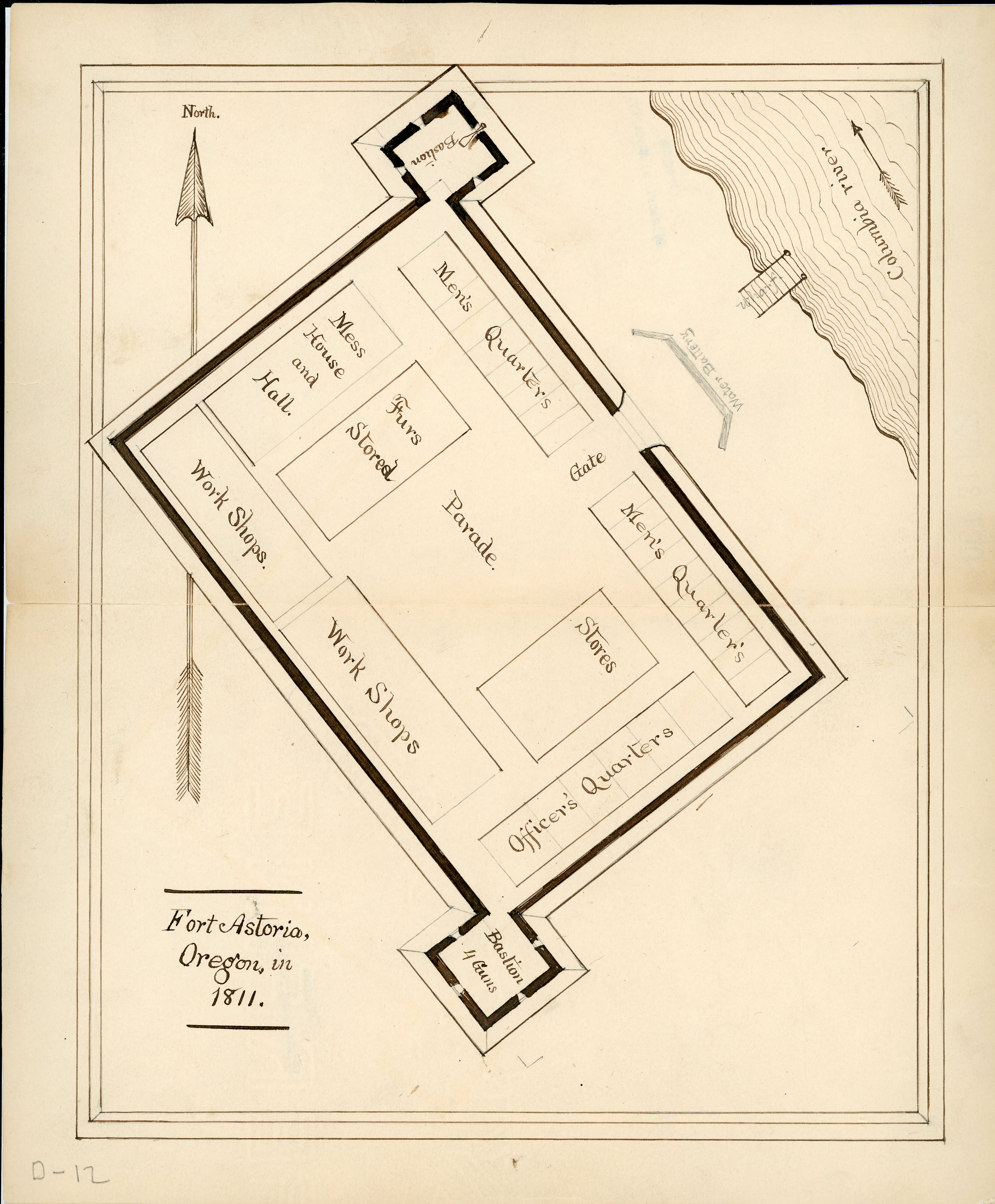
![Astor Expedition (1810-1813)]()
Astor Expedition (1810-1813)
The Astor Expedition was a grand, two-pronged mission, involving scores…
-
![Malheur National Wildlife Refuge]()
Malheur National Wildlife Refuge
Malheur National Wildlife Refuge, established in 1908 by President Theo…
-
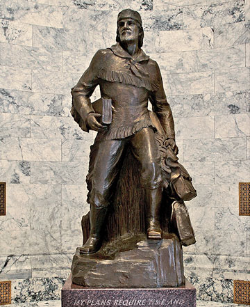
![Marcus Whitman (1802–1847)]()
Marcus Whitman (1802–1847)
Marcus Whitman left his mark on Oregon Country as an early missionary t…
-
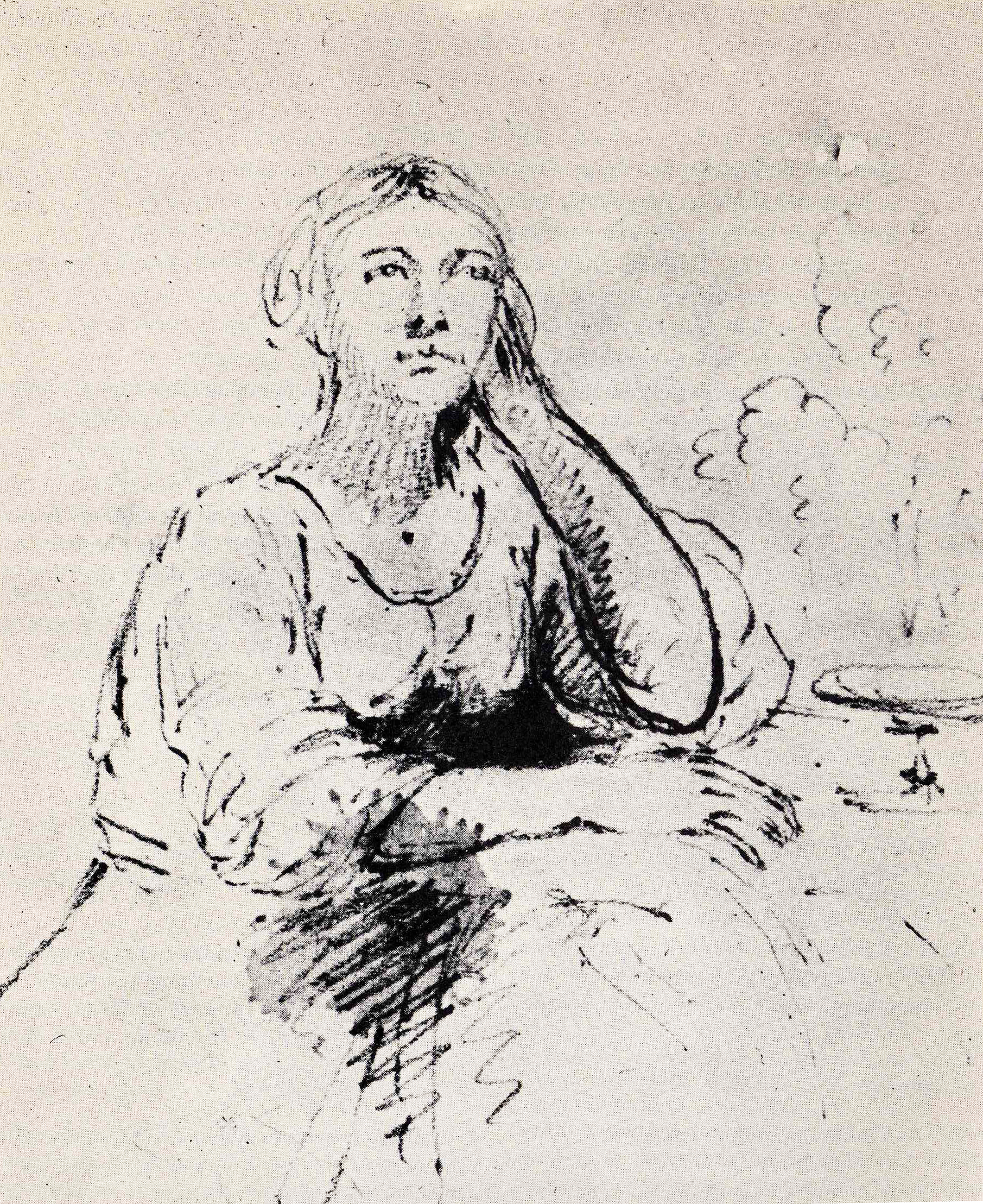
![Narcissa Whitman (1808-1847)]()
Narcissa Whitman (1808-1847)
Missionary Narcissa Prentiss Whitman is probably Old Oregon’s most famo…
-
![Oregon Trail]()
Oregon Trail
Introduction In popular culture, the Oregon Trail is perhaps the most …

Related Historical Records
Map This on the Oregon History WayFinder
The Oregon History Wayfinder is an interactive map that identifies significant places, people, and events in Oregon history.