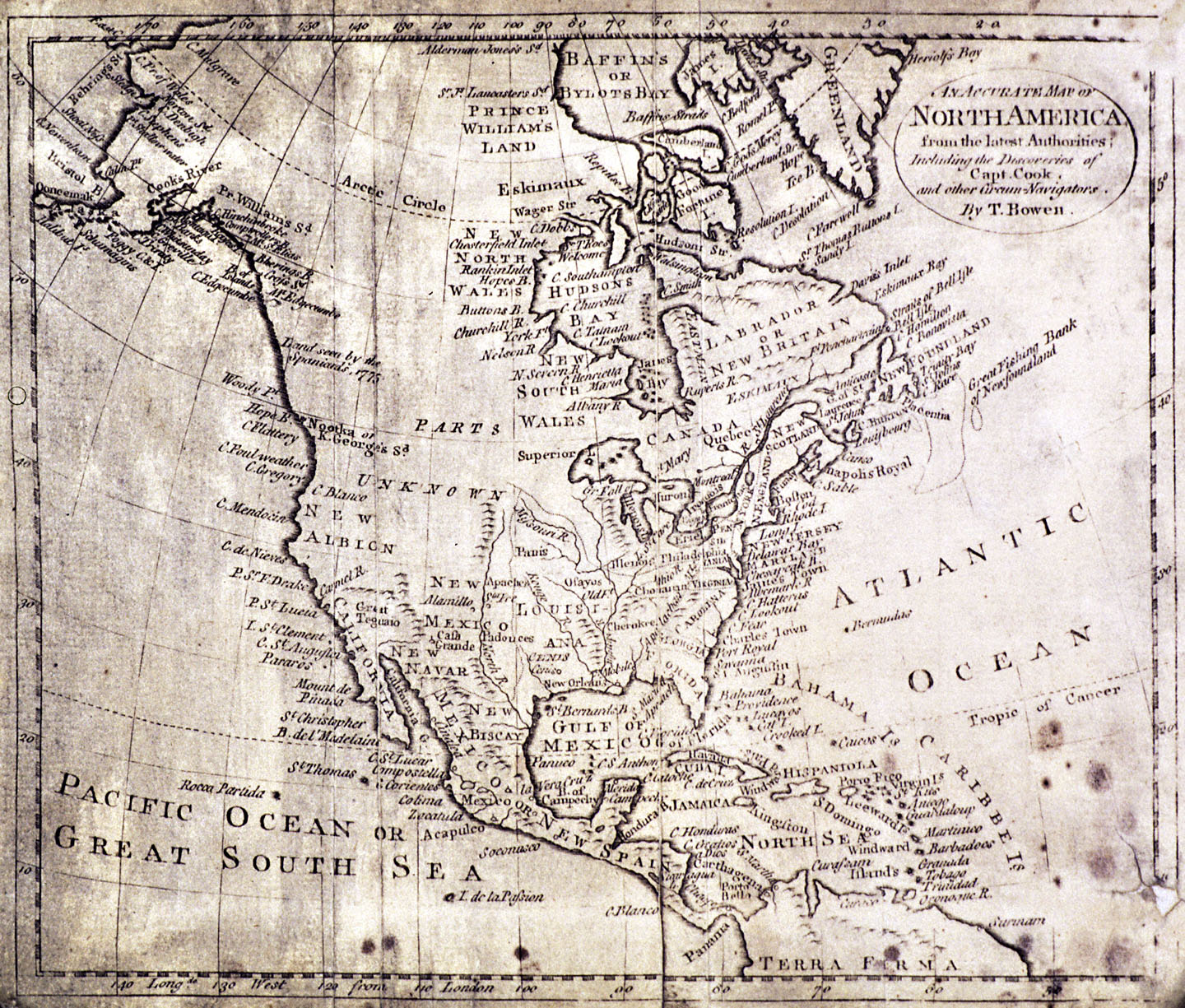
5. An Accurate Map of North America, c.1780
Thomas Bowen, a British cartographer and engraver, produced his An Accurate Map of North America from the Latest Authorities in the early 1780s. It is an updated version of earlier map published in 1774 under the title A New and Accurate Map of North America.
During the 1770s, European interest in the Northwest Coast intensified. Concerned about the growing Russian presence in Alaska, Spain launched a series of exploring expeditions to the region in the mid 1770s. Although these Spanish explorers could not locate the mythical Northwest Passage, they did claim the region for Spain. In order to ward off competition from her rival Great Britain, Spain chose to keep the details of these voyages secret. Equally worried about Russian expansion from Alaska and Spanish colonization northward from California, the British Admiralty sent navigator Captain James Cook on an exploring expedition to the Northwest Coast. Cook left England in July 1776 and arrived off the coast of present-day Oregon in early March 1778. Since he was unable to land due to poor weather, he named the site Cape Foulweather. Cook proceeded up the coast, braving inclement weather all the way to a secure bay in the territory of the Nootka people (Nootka Sound on Vancouver Island). Although Cook and his crew were unable to conduct detailed coastal surveys before reaching Alaska, the documents from the voyage were soon widely published, thereby providing Europeans with better information about the little-known region. Cook died in the Sandwich Islands (Hawai’i) in 1779.
View source5 of 7