Fifty-five miles east of Salem on Oregon State Highway 22, the town of Idanha has long been associated with travelers along this part of the North Santiam River. The Santiam Kalapuya passed through in pursuit of food and trade, as did Euro American fur trappers.
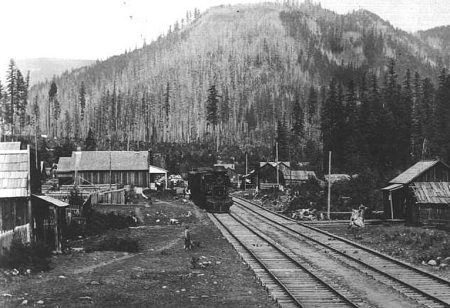
The Oregon Pacific Railroad, which was originally intended to extend east to Idaho, arrived in 1890, when bankruptcy stopped construction. The end of the line became a starting-off point for fishing and hunting excursions. Travelers came to Muskrat Camp, as the place was originally known, and stayed at the hotel, whose proprietor chose the name Idanha after a well-known mineral water brand bottled in Soda Springs, Idaho.
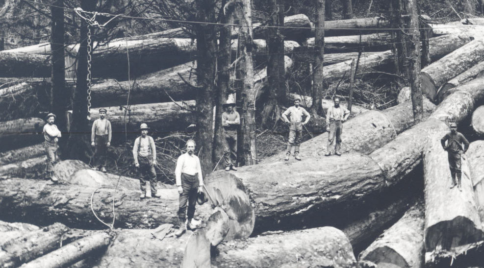
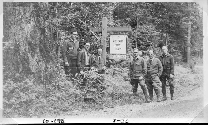
Trees became more important than tourism by the end of the century, when timber baron Andrew B. Hammond of Montana invested heavily in mills, lumber camps, and the Oregon Pacific Railroad. After the death of Hammond and his businesses during the Great Depression, Idanha became home to Mary’s Creek, a Civilian Conservation Corps camp.
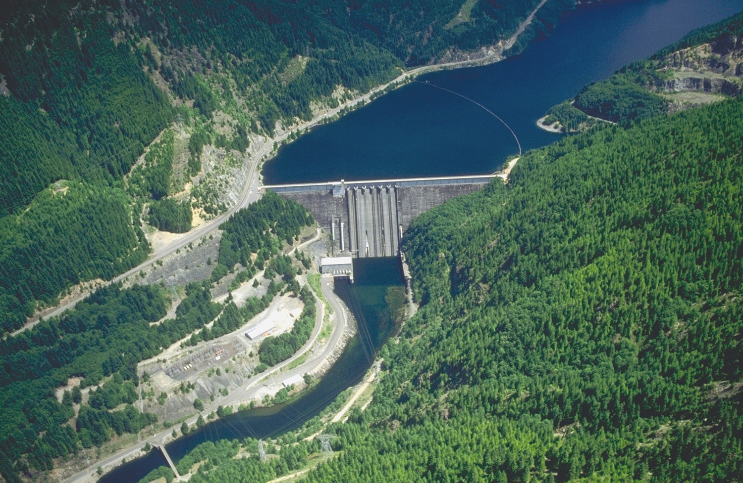
Government investment continued into the 1940s and 1950s with construction of Highway 22 and the Detroit Dam. The highway and Forest Service logging roads in the Willamette National Forest facilitated growth in Idanha’s timber industry, with local and international firms establishing mills. Efforts to protect public lands from over-logging led to mill closures by the mid-1990s.
While logging continued into the twenty-first century, Idanha returned to tourism, catering to those in search of outdoor recreation and passers-by on their way to Detroit Lake, Hoodoo Ski Resort, and cities in central and western Oregon.
-
![]()
Idanha City Hall.
Courtesy Len Bounds, CC -
![]()
Marion Forks Lodge, North Santiam Highway, near Idanha.
Oregon Historical Society Research Library, 020517
-
![]()
Logging truck.
Courtesy Janice Reid
Related Entries
-
![Andrew B. Hammond (1848-1934)]()
Andrew B. Hammond (1848-1934)
Sensing opportunity following the Panic of 1893, Montana businessman An…
-
![City of Detroit]()
City of Detroit
Fifty-one miles east of Salem on Oregon State Highway 22, Detroit sits …
-
![Detroit Dam]()
Detroit Dam
Forty-five miles east of Salem, Detroit Dam rises 463 feet out of the N…
-
![Timber Industry]()
Timber Industry
Since the 1880s, long before the mythical Paul Bunyan roamed the Northw…
-
![Willamette National Forest]()
Willamette National Forest
The Willamette National Forest stretches along the western slope of …
Map This on the Oregon History WayFinder
The Oregon History Wayfinder is an interactive map that identifies significant places, people, and events in Oregon history.
Further Reading
McArthur, Lewis A. and Lewis L. “Idanha.” In Oregon Geographic Names. Portland, Or.: Oregon Historical Society, 2003.
Oregon Secretary of State. “Oregon Blue Book: Incorporated Cities: Idanha.” https://sos.oregon.gov/blue-


