John Day Fossil Beds National Monument, established in October 1975, showcases one of the world’s best and most continuous records of the Cenozoic (the past 66 million years) that is generally regarded as the Age of Mammals. The fossils found in the National Monument’s three units helped define the evolution of horses, cameloids, felines, canids, and other important mammal lineages.
The John Day Fossil Beds is a name generally applied to both the national monument—three units totaling approximately 25 square miles in Wheeler and Grant Counties in north-central Oregon—and, more broadly, the more than 20,000 square miles of John Day Basin and adjacent lands that expose fossil-bearing strata of Paleocene to Miocene age.
The fossils of the region were first discovered by soldiers who traveled The Dalles Military Road to the Canyon City area following the discovery of gold there in 1862. They brought the fossil discoveries to the attention of Reverend Thomas Condon, Oregon’s first state geologist and first chair of the Geology Department at the University of Oregon. In the 1870s, other famed paleontologists, including Othniel Marsh and Edwin Drinker Cope, and other investigators, including U.S. Army Capt. Charles Bendire, mounted expeditions to the area.
The three units of the National Monument display changes in landscape, climate, and ecosystems through an important time in geologic history. The Clarno Unit, near the John Day River’s Clarno Bridge, includes vast volcanic debris flows and lahars (volcanic mudflows) that are 45 to 50 million years in age. Leaves and whole trees, found as petrified remnants, record a subtropical ecosystem similar to that found in modern Costa Rica or Veracruz, Mexico. Early ancestral bananas, figs, palms, and bald cypress flourished amid a volcanic landscape. Rainfall totaled about eighty inches per year, and atmospheric carbon dioxide was much higher than today’s levels.
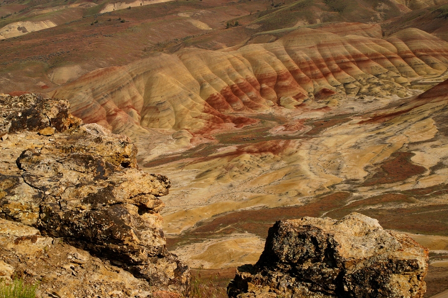
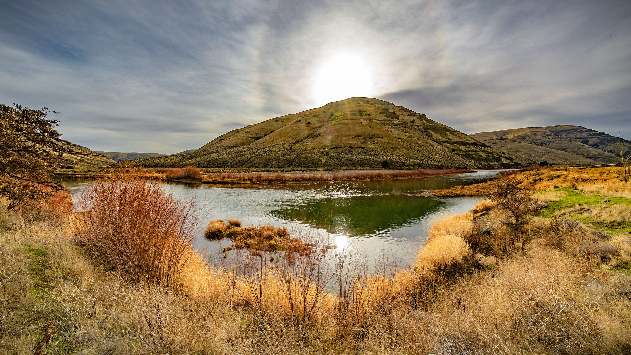
The Painted Hills Unit, twenty miles northwest of Mitchell, illustrates the climate shift from tropical to temperate that occurred between 34 and 32 million years ago. Red bands of the Painted Hills were once tropical soils, while lighter colored bands are soils that developed at times of lower temperatures and less precipitation. Overall, as time progressed from 34 to 32 million years, soils became lighter and the climate less tropical. The record at the Painted Hills culminates at the top of Carroll Rim, where soils and fossil plants and leaves indicate a temperate, grassy savannah with oaks and maples that prospered about 30 million years ago.
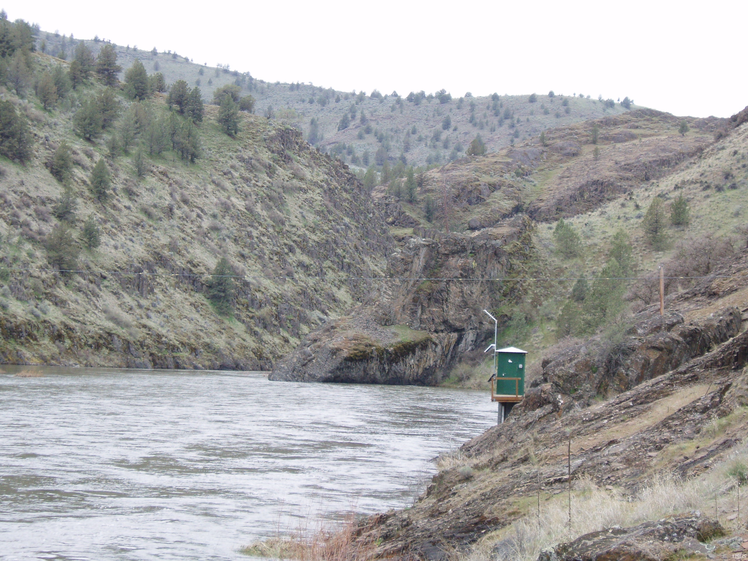
The headquarters and 2,500-square-foot interpretive facilities of the John Day Fossil Beds National Monument are located at the Sheep Rock Unit, fifteen miles west of Dayville. This area includes the Blue Basin (Turtle Cove), a renowned Oligocene fossil site, as well as Miocene Picture Gorge basalts and strata of the Mascall Formation, which are about 14 million years old. The Thomas Condon Center includes offices and laboratories as well as exhibits of the fossils and ecosystems through time.
-
![Painted Hills]()
Painted Hills.
Painted Hills Courtesy National Park Service
-
![John Day Fossil Beds]()
John Day Fossil Beds.
John Day Fossil Beds Courtesy Univ. of Oregon Libraries, Gifford Photo Collection, P218 SG607 Series I
-
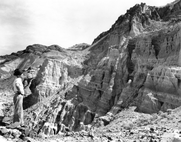
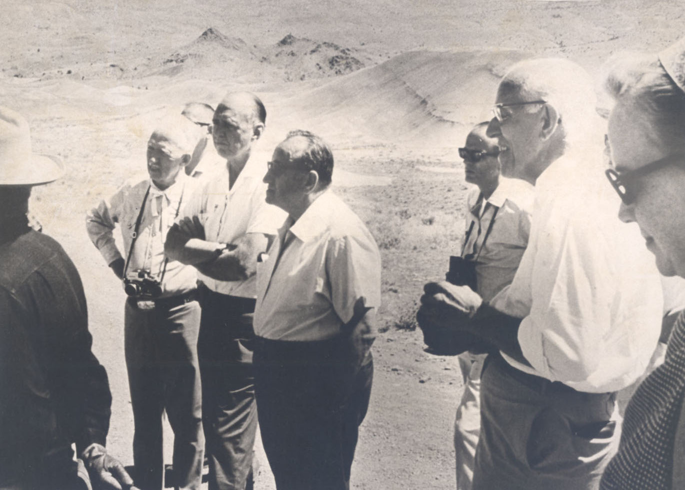
![Trip to fossil bed to support park status]()
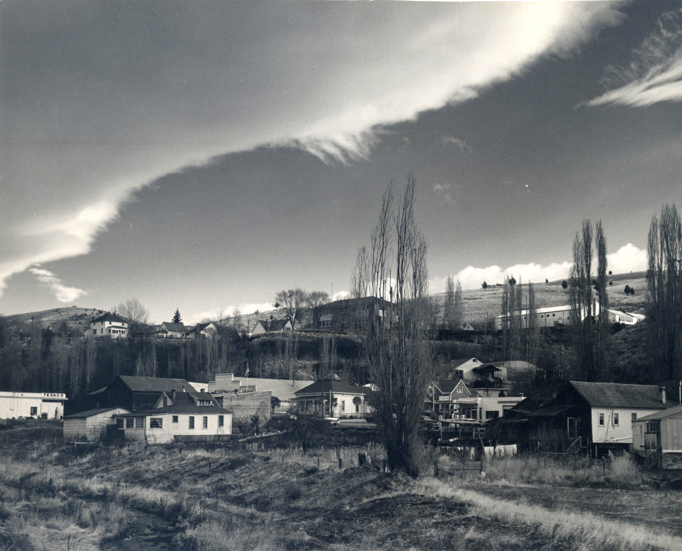
Trip to fossil bed to support park status.
Trip to fossil bed to support park status Courtesy Oreg. Hist. Soc. Research Lib., ba01178
-
![Sheep Rock]()
Sheep Rock.
Sheep Rock Courtesy Oreg. Hist. Soc. Research Lib., OrHi76229
-
![John Day Fossil Beds]()
John Day Fossil Beds.
John Day Fossil Beds Courtesy Oreg. Hist. Soc. Research Lib., OrHi83033
-
![Cathedral Rock]()
Cathedral Rock.
Cathedral Rock Courtesy National Park Service
-
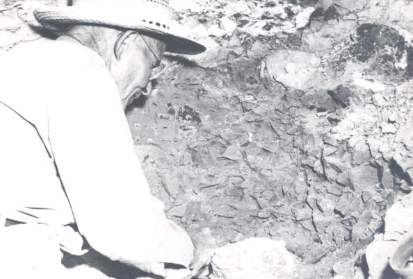
![Alonzo Hancock at UO mammal dig, Clarno Clay Beds, 1956]()
Alonzo Hancock at UO mammal dig, Clarno Clay Beds, 1956.
Alonzo Hancock at UO mammal dig, Clarno Clay Beds, 1956 Courtesy Oreg. Hist. Soc. Research Lib., 004938
-
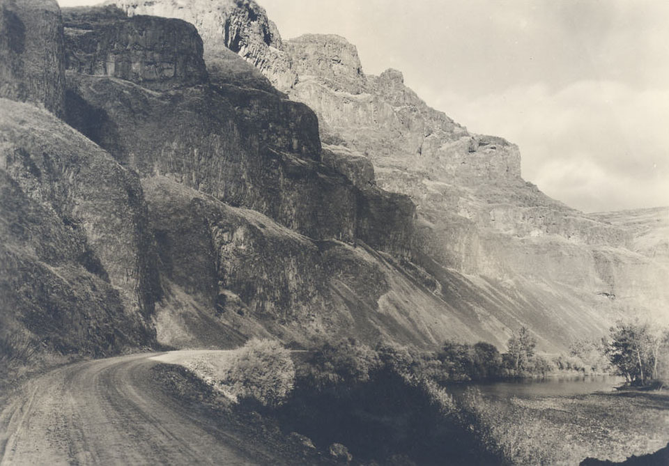
![John Day Fossil Beds, basalt bluffs, 1937]()
John Day Fossil Beds, basalt bluffs, 1937.
John Day Fossil Beds, basalt bluffs, 1937 Courtesy Oreg. Hist. Soc. Research Lib., OrHi830535
-
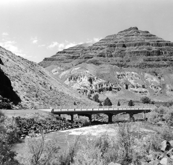
![Bridge over the John Day River, by Wanda Gifford]()
Bridge over the John Day River, by Wanda Gifford.
Bridge over the John Day River, by Wanda Gifford Courtesy Univ. of Oregon Libraries, P218 SG4 0971


Related Entries
-
![Charles Bendire (1836–1897)]()
Charles Bendire (1836–1897)
Charles Bendire was a U.S. Army officer and naturalist who brought the …
-
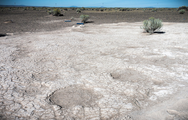
![Fossil Lake]()
Fossil Lake
A small, sandy playa in central Oregon's Fort Rock Basin, Fossil Lake i…
-
![John Day (1770?–1820)]()
John Day (1770?–1820)
John Day was an American hunter who came to Oregon in 1812 as a straggl…
-
![John Day Fossil Beds Flora and Fauna and Climate Change]()
John Day Fossil Beds Flora and Fauna and Climate Change
The John Day fossil beds in north-central Oregon have one of the world’…
-
![John Day River (north-central Oregon)]()
John Day River (north-central Oregon)
The 281-mile-long John Day River in north-central Oregon is the longest…
-
![Mitchell]()
Mitchell
Mitchell, the second largest town in Wheeler County (Fossil is the larg…
-
![North Fork John Day River]()
North Fork John Day River
Flowing 113 miles westward from the Blue Mountains, the North Fork John…
-
![South Fork John Day River]()
South Fork John Day River
From its headwaters in the fir and ponderosa pine forests of Grant and …

Related Historical Records
Map This on the Oregon History WayFinder
The Oregon History Wayfinder is an interactive map that identifies significant places, people, and events in Oregon history.
Further Reading
Bishop, Ellen M. In Search of Ancient Oregon. Portland, Ore.: Timber Press, 2003.
Dillhoff, R.M, T.A. Dillhoff, R.E. Dunn, J.A. Meyers, and C.A.E. Stromberg. "Cenozoic Paleobotany of the John Day Basin, Oregon." In Volcanoes to Vineyards: Geologic Field Trips through the Dynamic Landscapes of the Pacific Northwest, edited by Jim O'Connor and Rebecca Dorsey, 135-164. Portland, Ore.: Geological Soc. America Field Guide 15, 2009.
Retallack, G.J., E.A. Bestland, and T. Fremd. "Reconstruction of Eocene and Oligocene Plants and Animals in Central Oregon." Oregon Geology 58 (1996): 51-68.