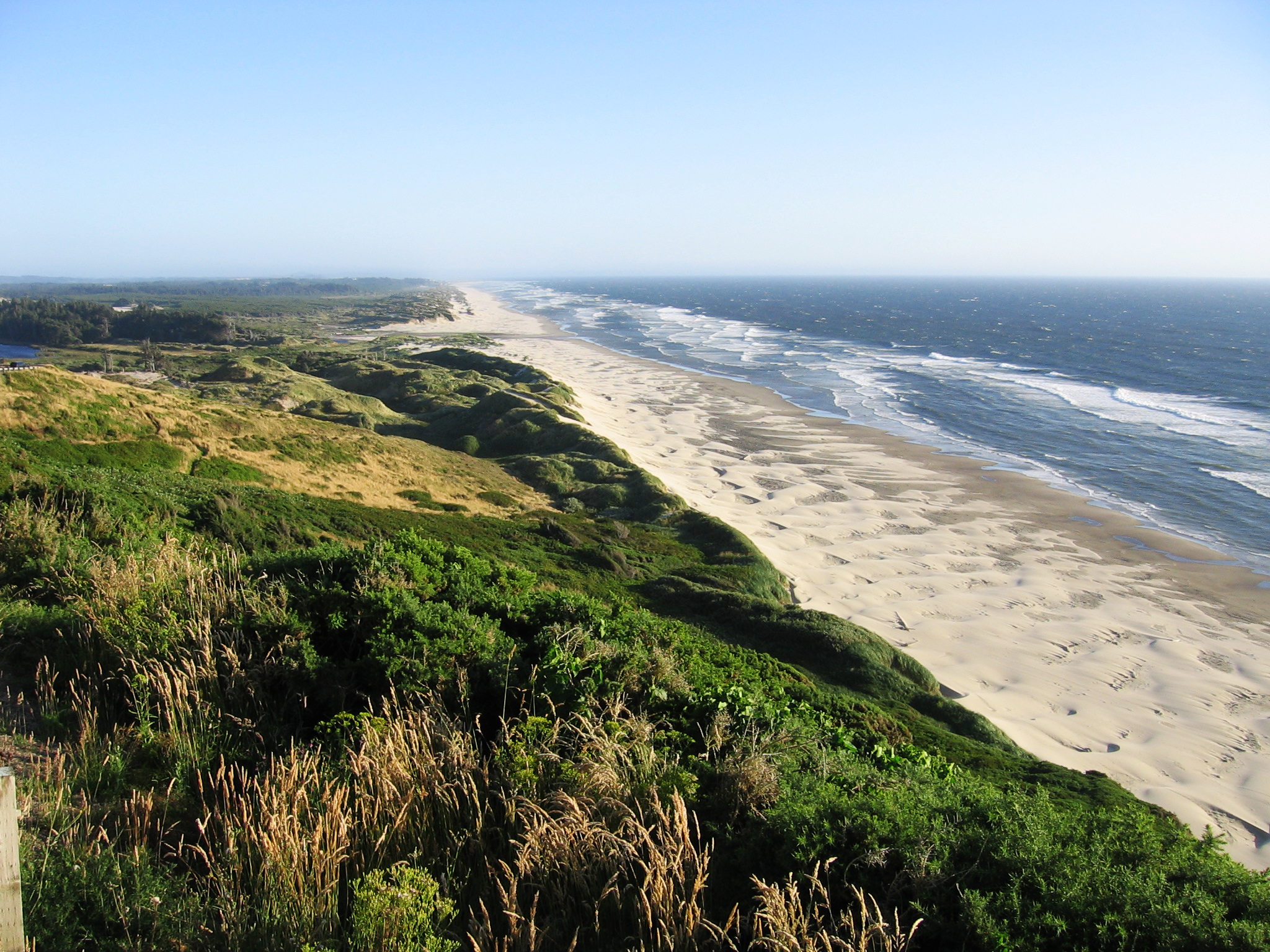
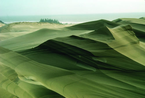
Miles and miles of windblown sand. The Oregon Dunes stretch for fifty-four miles, from Heceta Head north of Florence to Cape Arago just south of Coos Bay. Well over 100,000 years old, this dune complex of roughly 40,000 acres covers the largest area of any dune system on the West Coast of North America. Its eastern boundary is more than three miles from the shore for much of its length.
In 1972, Congress set aside 32,186 acres of the total dune complex as the Oregon Dunes National Recreation Area (ODNRA), to be managed by the U.S. Forest Service. The State of Oregon manages William M. Tugman, Jesse M. Honeyman, and Joaquin Miller State Parks and Darlingtonia Botanical Wayside, located in the Oregon Dunes adjacent to the ODNRA. The rest is private or county land. The area offers solitude for hikers and campers and is one of the most popular off-highway-vehicle (OHV) riding areas on the West Coast.
Recent studies have determined that the youngest dunes, which were formed over the last seven thousand years, are nearest the ocean. The higher dunes to the east were formed more than 20,000 years ago, and the tops of some of the higher dunes were last active more than 100,000 years ago. Analyses of the chemical makeup of individual sand grains point to the Umpqua River, just west of Reedsport, as the primary source of the Oregon Dunes, with contributions from the Siuslaw and other, smaller rivers.
Nearest the beach, the first prominent dune form is the foredune, a 25-foot-high ridge covered in grasses that runs more or less continuously along the Dunes shoreline. Inland lies the deflation plain, a low-lying area with occasional seasonal ponds and low transverse dunes oriented perpendicular to the prevailing seasonal winds. Farther inland, the oblique dunes stand 200 feet or more above sea level, their ridgelines formed by the interaction of prevailing summer winds from the north-northwest and winter winds from the south-southwest. South of Florence and north of Coos Bay are well-developed parabola dunes, long fingers of sand reaching into the surrounding forest.
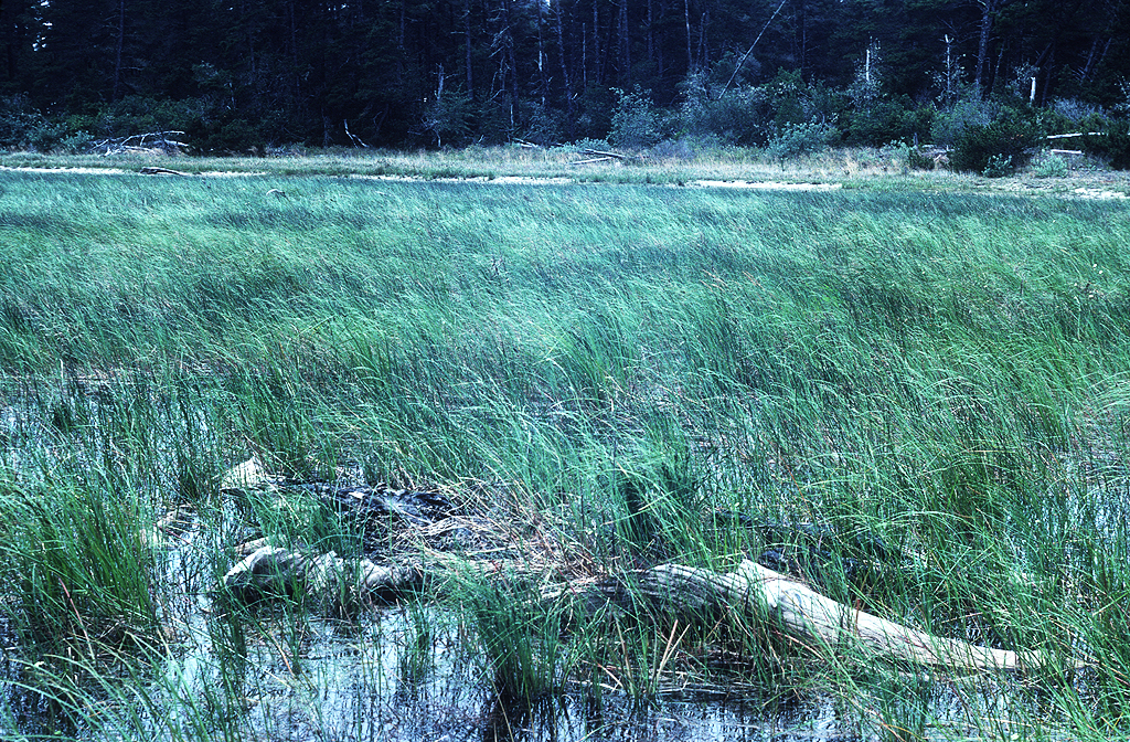
The Oregon Dunes is a land of many lakes. The largest of them are barrage lakes, formed when rapidly developing dunes dammed streams flowing west from the Coast Range foothills. Mercer, Woahink, Siltcoos, Tahkenitch, Clear, and Tenmile Lakes are good examples. Only Siltcoos, Tahkenitch, and Tenmile Lakes are drained by creeks that flow into the Pacific Ocean. A number of small inter-dune lakes, such as Lily Lake to the north and Saunders, Beal, and Horsfall Lakes to the south, are largely fed by seasonal precipitation.
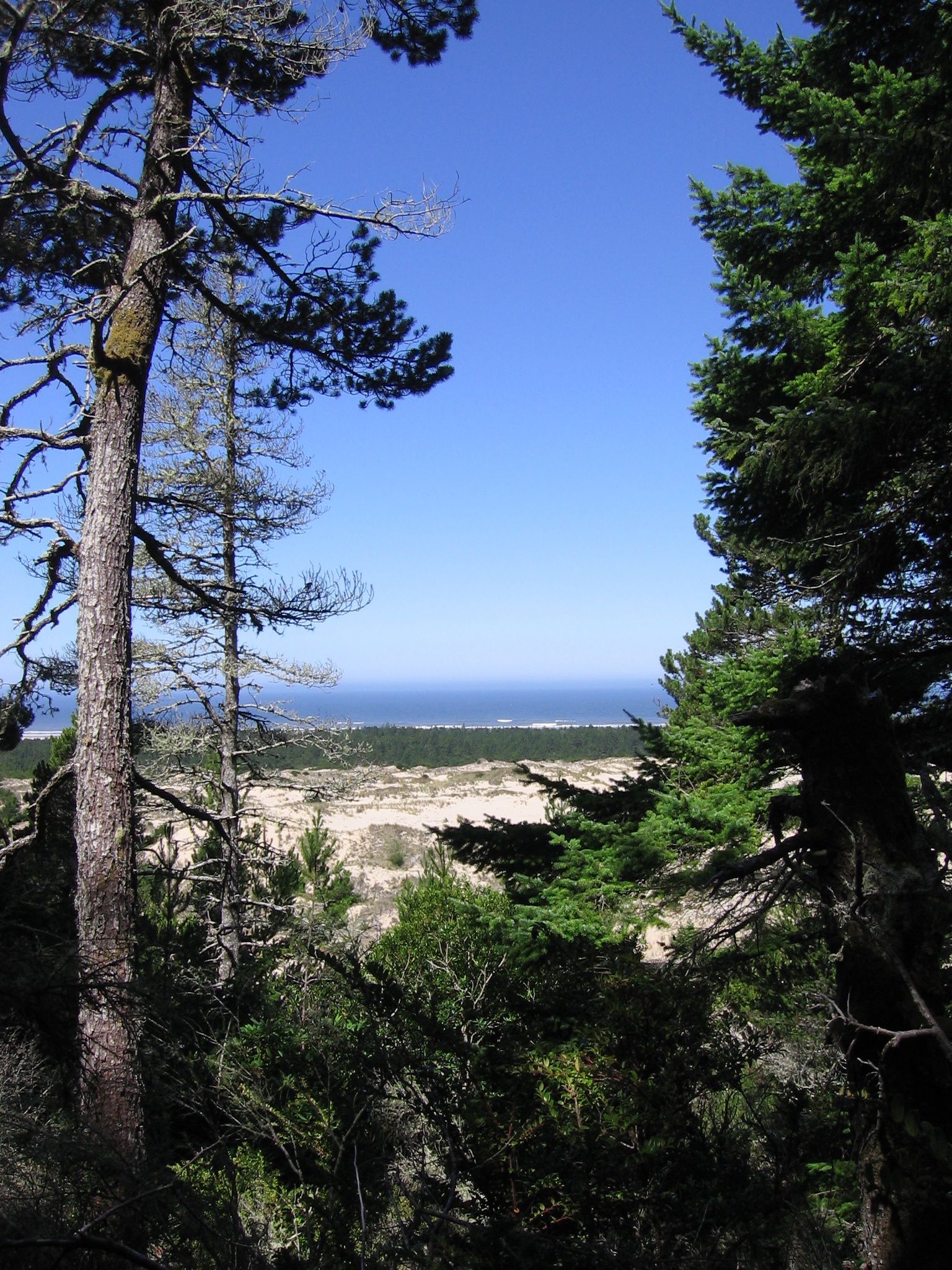
Tree islands, another prominent topographic feature of the Oregon Dunes, are erosional remnants of a formerly more extensive forested dune surface. Tree islands, vegetated deflation plains, and forested upland dunes are habitat for wildlife, ranging from tiny mice and voles to porcupine, mink, black bear, fox, deer, elk, Canada geese, and western snowy plover, which is listed as a threatened species.
In this coastal temperate rainforest environment, hardy native plants such as Seashore bluegrass (Poa macrantha), large-headed sedge (Carex macrocephala), and non-native European beach-grass (Ammophila arenaria) begin the process of stabilizing dune surfaces. Gray beach pea (Glehnia littoralis), beach morning-glory (Calystegia soldanella), beach knotweed (Polygonum paronychia), and American dune-grass (Elymus mollis) are also important in developing stable plant cover in the dunes. Wet- and dry-site plant communities, including native and non-native shrubs and trees, can develop several years after the dune sands are stabilized.
European beach-grass (Ammophila arenaria) was first introduced along the Oregon coast in the late 1930s to stabilize open sand near roads and campgrounds. With no natural predators, the plant is changing the Oregon Dunes in ways not anticipated or understood until the late 1980s. European beach-grass is primarily responsible for the development of the artificially high and continuous foredune and for creating conditions that support abundant vegetation in the deflation plain. Absent human efforts to control its spread, European beach-grass will continue to advance into the shrinking open dune areas, eventually resulting in a change in this once open expanse of sand to forest.
-
Oregon Dunes, July 2011.
Photo James V. Hillegas
-
Oregon dunes, W of Tahkenitch Lake, 2, Jul 2011.
Oregon dunes east of Tahkenitch Lake, July 2011. Photo James V. Hillegas
-
![Jesse Honeyman Memorial Park near Florence, 1950.]()
Honeyman S.P., 1950.
Jesse Honeyman Memorial Park near Florence, 1950. Oreg. State Univ. Archives, P094:Acc 95:014 Honeyman
-
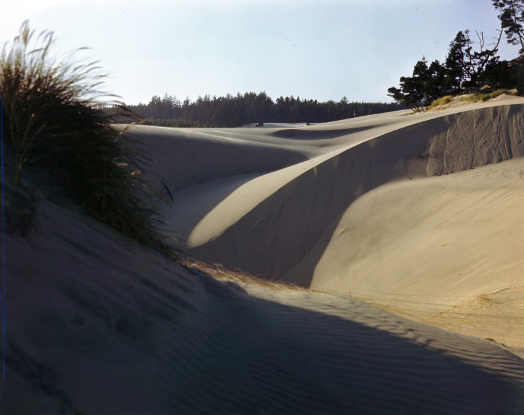
![Sand dunes near Florence, 1940.]()
Florence, sand dunes near, 1940.
Sand dunes near Florence, 1940. Photo Ralph Gifford, Oreg. State Univ. Archives,
-
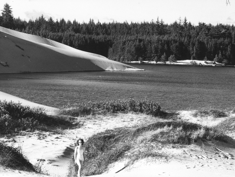
![Bluebill Lake at Horsfall Dunes, 1979.]()
Bluebill Lake, Horsfall Dunes, 1979.
Bluebill Lake at Horsfall Dunes, 1979. Univ. of Oreg. Libr., Binder 1.29.4
-
![Jane Fitzsimmons walking on sand dunes at the Oregon coast.]()
Fitzsimmons, Jane, walking on dunes.
Jane Fitzsimmons walking on sand dunes at the Oregon coast. Photo Ralph Gifford, Oreg. State Univ. Archives,
Related Entries
-
![Coos Bay]()
Coos Bay
The Coos Bay estuary is a semi-enclosed, elongated series of sloughs an…
-
![Oregon Dunes National Recreation Area]()
Oregon Dunes National Recreation Area
Created by Congress in 1972, the Oregon Dunes National Recreation Area …
-
![Umpqua River]()
Umpqua River
The Umpqua River, approximately 111 miles long, is a principal river of…
Map This on the Oregon History WayFinder
The Oregon History Wayfinder is an interactive map that identifies significant places, people, and events in Oregon history.
Further Reading
"Oregon Field Guide: Exploring the Oregon Dunes." Portland: Oregon Public Broadcasting, 2011. Film.

