The Umpqua River, approximately 111 miles long, is a principal river of the Oregon coast, draining an expansive network of valleys in the mountains on the western slopes of the Cascade Range. The river, whose entire length is in Douglas County, is formed by the confluence of the North Umpqua and South Umpqua Rivers northwest of Roseburg. The combined river flows northwesterly through the Coast Range and west past Scottsburg. Below this area, the river is subject to ocean tides. The Umpqua receives the Smith River from the north near Reedsport and enters Winchester Bay before emptying into the Pacific Ocean.
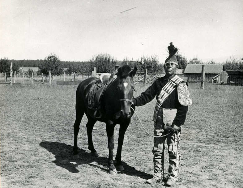
Several bands of Indians have lived in the Umpqua River valley: the Siuslawan, or Penutian-speaking Lower Umpqua people in the area from present-day Scottsburg/Wells Creek to the coast; the Yoncalla-speaking Kalapuyan people (related to the Kalapuya people in the Willamette Valley) in the north part of the watershed; Athabaskan-speaking Umpqua, or Upper Umpqua people; Molala, or Penutian-speaking Southern Molala Indians in the upper areas near the western Cascades; and the Takelman-speaking Cow Creek Band of Umpqua.
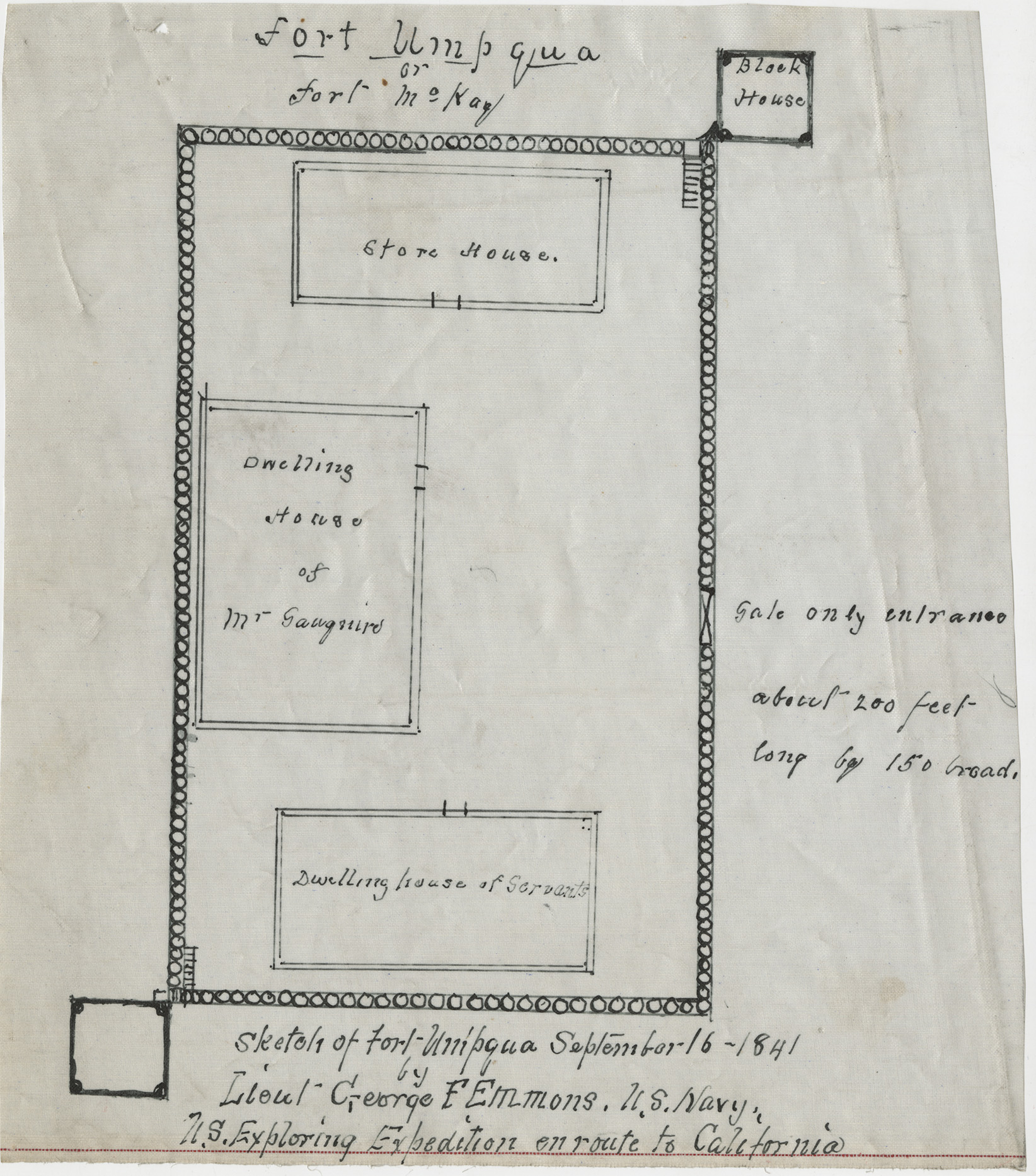
The name Umpqua derives from an Indian name for a place along the river. The river received its current name in 1825 from David Douglas, a British horticulturalist traveling through the area. There have been numerous spellings of the name, including Umptqua, Umqua, Umquah, and Umkwa. The Umpqua River was favored by fur trappers working for the North West Company, who entered the Umpqua Valley in 1819 and trapped beavers in the area for several decades. Fort Umpqua, a fur post, was built in 1836 across the river from Elkton. Fort Umpqua operated until 1854 and was the first non-Native settlement in Oregon south of the Willamette Valley.
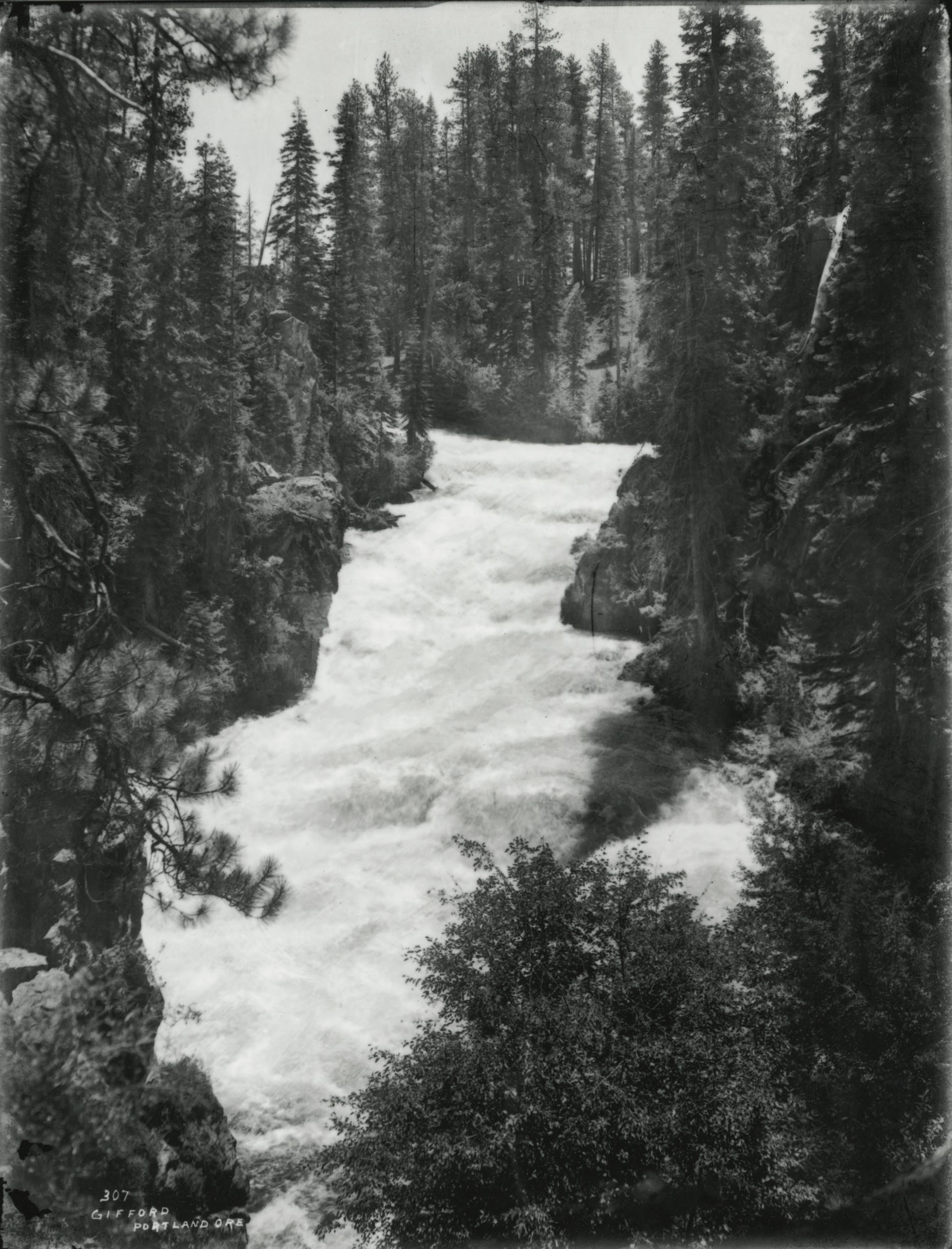
The North Umpqua River, which is renowned for its crystal-clear water, rises in the high Cascades, issuing from Maidu Lake in the Mount Thielsen Wilderness. It follows a westward course along the southern side of the Calapooya Divide and passes through the Umpqua National Forest over Toketee Falls. At Steamboat, the river receives Steamboat Creek from the north. The North Umpqua joins Little River from the south at a place called Colliding Rivers at Glide. From there, the North Umpqua continues westward, joining the South Umpqua to form the lower or main Umpqua River. The river is considered one of the best flyfishing streams in the Northwest and is known for its high concentration of native steelhead. It is also popular for whitewater rafting.
The South Umpqua River, which also begins on the slopes of the Rogue-Umpqua Divide, has higher water temperatures and a lower summer flow than the North Umpqua. Its main tributary is Cow Creek. During dry summers, the North Umpqua has a flow twenty times greater than the South Umpqua. The forest area where the South Umpqua begins is more open than the North Umpqua country and has an abundance of drier species of brush, shrubs, and trees, including ponderosa and sugar pine.
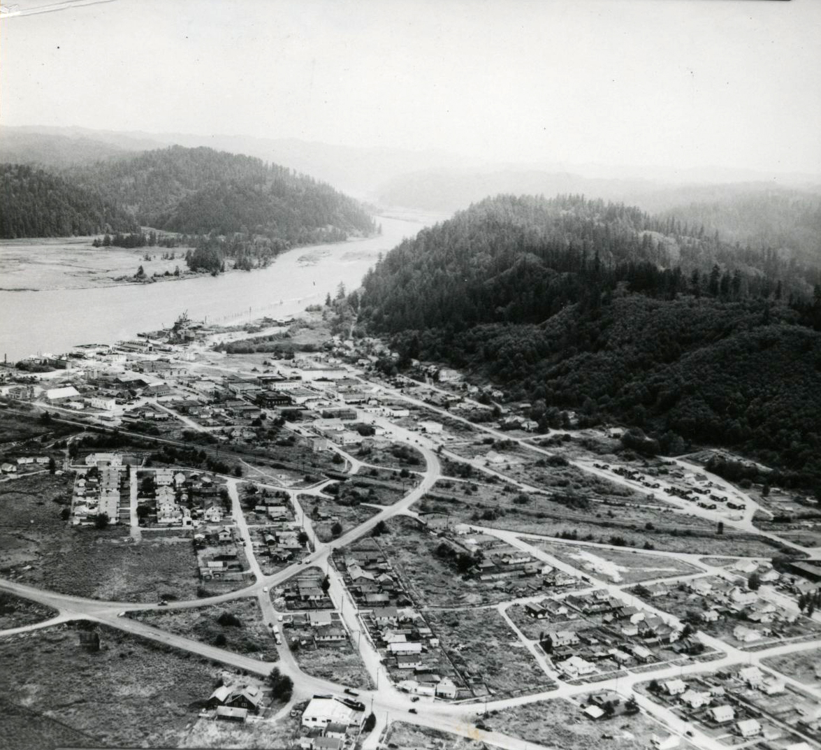
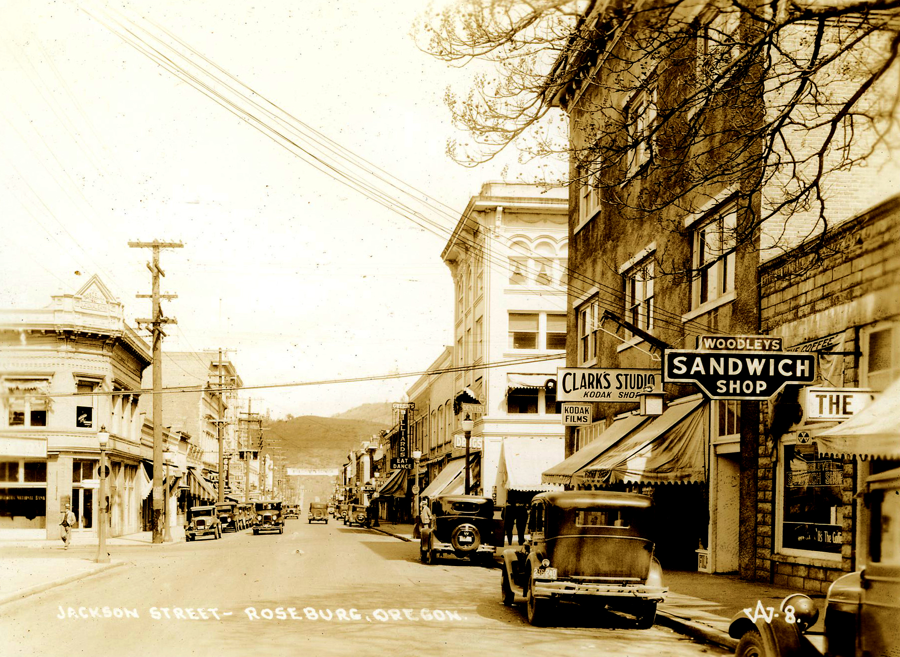
Cities and towns along the Umpqua include Reedsport at the mouth of the river and Scottsburg and Elkton along the lower river. Glide and Idleyld Park are located along the North Umpqua River, with Roseburg, Winston, Dillard, Myrtle Creek, Canyonville, Days Creek, Milo, and Tiller along the South Umpqua. Much of the lower river flows through Bureau of Land Management and private land, while the upper reaches flow through the Umpqua National Forest.
There are no dams on the lower river, but there is a small dam at Winchester on the North Fork and eight dams and reservoirs, including the seventy-seven-foot-tall Soda Springs Dam.
The region has long been a timber-producing area. Since the early 1900s, private interests, such as Roseburg Lumber, have actively managed the forestlands. The U.S. Department of the Interior managed the Cascade Forest Reserve in the upper reaches of the Umpqua River from 1897 until 1905 when management was transfered to the new U.S. Forest Service. The Umpqua Forest Reserve was created in 1907 in the Coast Range mountains. The present-day Umqpua National Forest was established in 1908 from portions of the Cascade Reserve. Many of the lower areas of the river have been under the management of the Bureau of Land Management since 1916.
People have boated, camped, and fished on Diamond Lake since the 1920s, and recreation has been an increasingly important factor on the river. Several wilderness areas were established in 1984, and in 1988 Congress designated approximately thirty-three miles of the river downstream from Soda Springs powerhouse as the North Umpqua Wild and Scenic River.
-
![]()
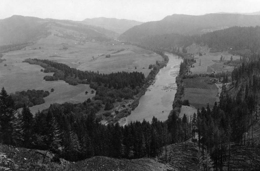
Umpqua Valley, 1918.
Courtesy Oregon Explorer, Oregon State University. "Umpqua Valley" Oregon Digital -
![]()
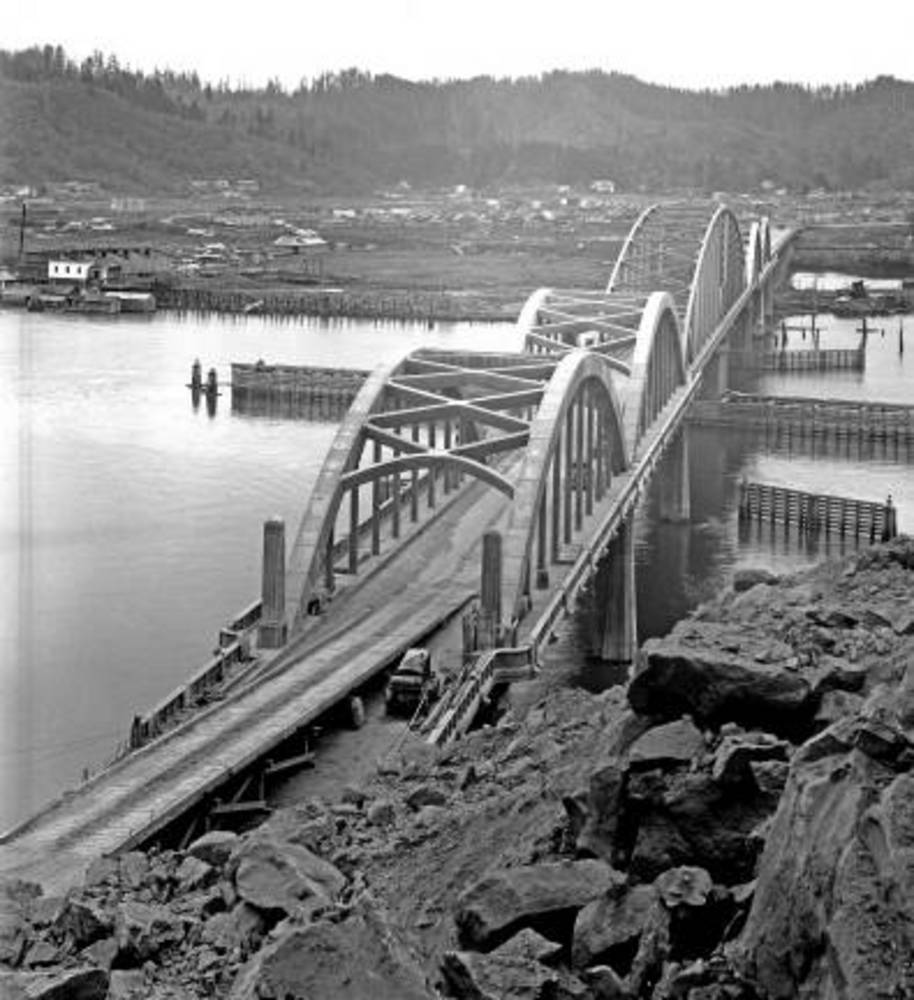
Umpqua River bridge at Reedsport, 1940.
Courtesy OSU Special Collections & Archives Research Center, Oregon State University. "Highway 101 Umpqua River Bridge at Reedsport" Oregon Digital. -
![]()
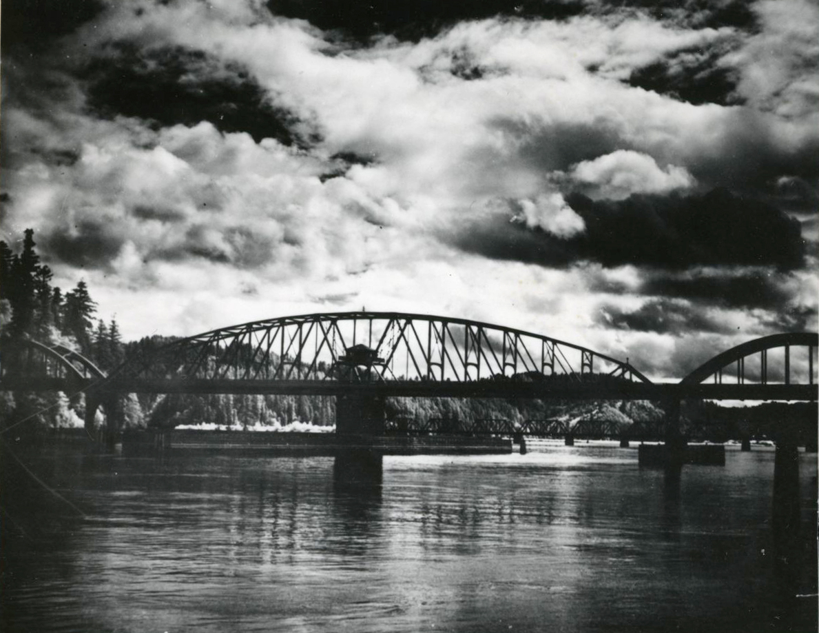
Umpqua River Bridge, 1936.
Courtesy Oregon Hist. Soc. Research Lib., 015343
-
![]()
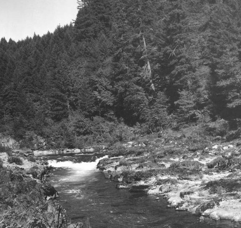
North Umpqua's treacherous narrows, 1940..
Courtesy Oregon Explorer, Oregon State University. "North Umpqua's treacherous narrows" Oregon Digital -
![]()
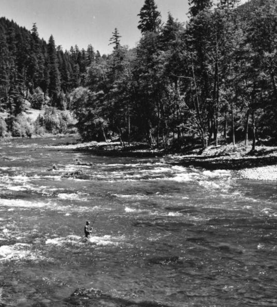
Fishing in the Umpqua River east of Roseburg, 1955.
Courtesy Oregon Explorer, Oregon State University. "Fishing in the Umpqua River east of Roseburg, Oregon" Oregon Digital
Related Entries
-
![Athapaskan Indians]()
Athapaskan Indians
According to Tolowa oral histories, the Athapaskan people of southern O…
-
![David Douglas (1799-1834)]()
David Douglas (1799-1834)
David Douglas is one of the best-known botanists in Oregon history, pri…
-
![Fort Umpqua (HBC fort, 1836-1853)]()
Fort Umpqua (HBC fort, 1836-1853)
Fort Umpqua was a small but important post in the Hudson’s Bay Company’…
-
![Fur Trade in Oregon Country]()
Fur Trade in Oregon Country
The fur trade was the earliest and longest-enduring economic enterprise…
-
![Kalapuyan peoples]()
Kalapuyan peoples
The name Kalapuya (kǎlə poo´ yu), also appearing in the modern geograph…
-
![Molalla Peoples]()
Molalla Peoples
The name Molalla ([moˈlɑlə, ˈmolɑlə], usually spelled Molala by anthrop…
-
![National Wild and Scenic Rivers in Oregon]()
National Wild and Scenic Rivers in Oregon
The world's first and most extensive system of protected rivers began w…
-
![Reedsport]()
Reedsport
In many ways, the story of Reedsport is a microcosm of the story of Ore…
-
![Roseburg]()
Roseburg
Roseburg, the county seat of Douglas County, is located in the Hundred …


Related Historical Records
Map This on the Oregon History WayFinder
The Oregon History Wayfinder is an interactive map that identifies significant places, people, and events in Oregon history.
Further Reading
Beckham, Stephen Dow. Land of the Umpqua: A History of Douglas County, Oregon. Roseburg, Ore.: Douglas County Commissioners, 1986.
McArthur, Lewis A. and Lewis L. McArthur. Oregon Geographic Names. Portland, Ore: Oregon Historical Society Press, 2003.