The Pokegama (pronounced Po-KEG-a-ma) Plateau, elevation about 4,200 feet, includes some 140,000 acres of privately owned land in the Southern Oregon Cascade Range midway between Ashland and Klamath Falls. Higher Cascades bound it on the north, with the nearly impassable canyon of the Klamath River on the south.
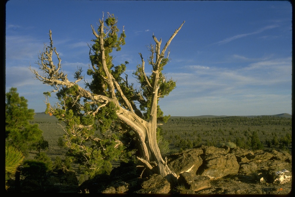
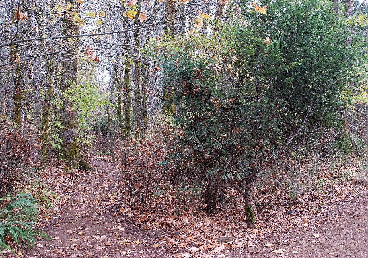
Because the Klamath River is the first river south of the Columbia to break through the Cascade Range, the passage across the plateau has long served as a migration corridor for animals moving between eastern and western Oregon. The plateau also forms a transitional "overlap" area for plants found either mostly in eastern or western Oregon respectively: for example, a juniper may be found growing within a few hundred feet of a Pacific yew.
Humans, too, have used the corridor. Native Americans wintered in the lower areas around the plateau but traveled up it to gather roots, especially yampah (Perideridia sp.) in the spring, plus other foods, medicinals, and resources such as deer hides, basketry materials, pigments poles for dwellings, and wood for bows, arrow shafts, and digging sticks.
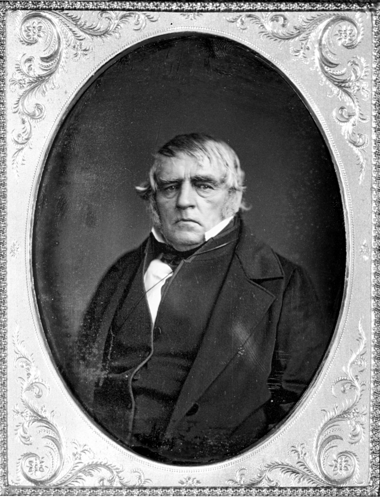
The first whites known to have crossed the corridor were members of Peter Skene Ogden’s Hudson’s Bay Company fur-trapping brigade in 1827. They noted that the canyon was impassable and that the area was covered with a heavy forest of large conifers. In 1846, a scouting party, seeking an alternate immigrant wagon route into Oregon, crossed the plateau from the west and continued across the deserts to the east to connect with the California Trail along the Humboldt River. Jesse Applegate persuaded some immigrants to try the new route, later called the Applegate Trail, and after a trip of great hardship and loss, the first wheeled travelers to cross the plateau reached the Willamette Valley late that fall.
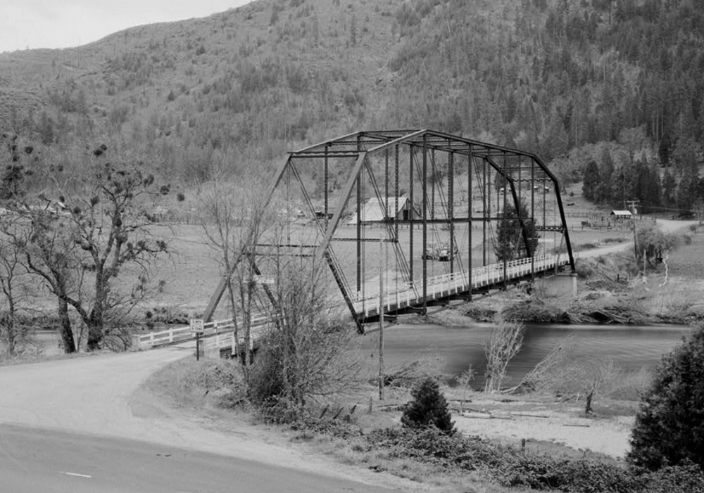
After gold was discovered in eastern Oregon and Idaho, travel reversed across the plateau with a slightly relocated wagon road built in 1869. The state built Highway 66 (the Greensprings Highway) between Ashland and Klamath Falls in 1922; it crosses the plateau for twenty miles between Jenny Creek and the Klamath River.
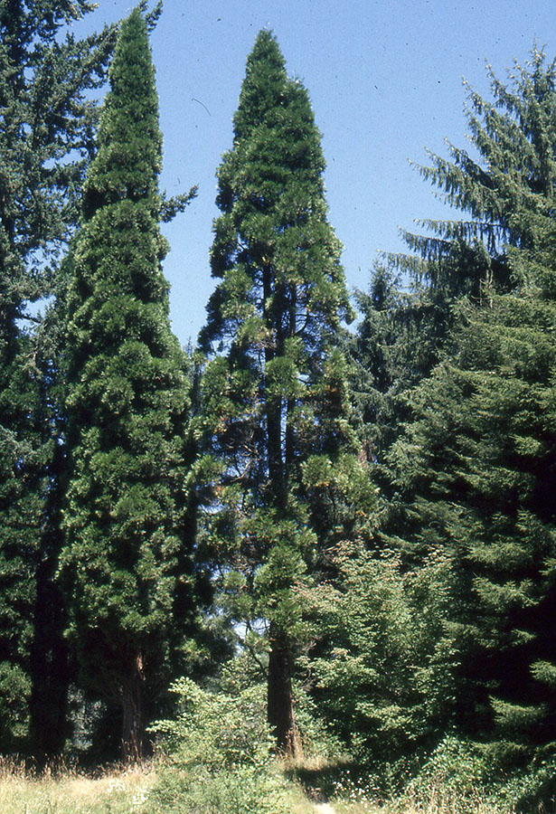
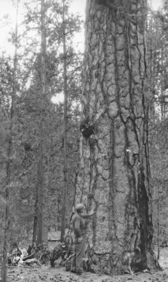
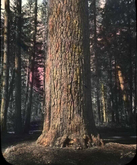
In the 1880s and 1890s, the heavy stand of large ponderosa pine, sugar pine, white fir, Douglas-fir, and incense cedar attracted the interest of land speculators who, through extensive land fraud, acquired ownership of nearly the entire plateau from the state and federal governments.
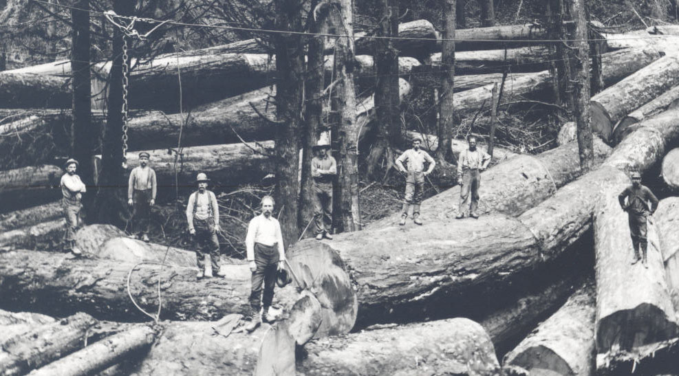
The Pokegama Sugar Pine Lumber Company logged some of the areas on the south edge of the plateau, where they ran the felled logs down a half-mile chute to the Klamath River to be rafted to their mills at Klamathon, California (the mills and town were completely destroyed by fire in 1903). The founder of the Pokegama company came from Pokegama Falls, Minnesota, within the aboriginal territory of the Chippewa; Pokegama is a Chippewa word for a large bay on the side of a river.
Beginning in 1904, the Weyerhaeuser Company bought land in the area. After building what was at the time the largest pine sawmill in the world in Klamath Falls in 1929, the company began railroad logging on the plateau.Weyerhaeuser sold its holdings in 1996, and the land has had several owners since.
A herd of some 40 elusive wild horses makes its home on the plateau, and 450 head of cattle graze the prairies. Nothing is left of the original old-growth forest.
-
![]()
Wild horse at the Pokegama Plateau area.
Courtesy Oregon-Washington Bureau of Land Management
-
![]()
Wild horses at the Pokegama Plateau area.
Courtesy Oregon-Washington Bureau of Land Management
Related Entries
-
![Applegate Trail]()
Applegate Trail
The Applegate Trail, first laid out and used in 1846, was a southern al…
-
![Cascade Mountain Range in Oregon]()
Cascade Mountain Range in Oregon
The Cascade mountain system extends from northern California to central…
-
![Douglas-fir]()
Douglas-fir
Douglas-fir (Pseudotsuga menziesii), perhaps the most common tree in Or…
-
![Incense-cedar]()
Incense-cedar
Incense-cedar (Calocedrus decurrens) tolerates a variety of ecological …
-
![Juniper]()
Juniper
Western juniper (Juniperus occidentalis) is emblematic of central and e…
-
![Klamath River]()
Klamath River
The Klamath River originates on a plateau east of the Cascade Range in …
-
![Pacific yew]()
Pacific yew
The western or Pacific yew, Taxus brevifolia, belongs to the yew family…
-
![Peter Skene Ogden (1790-1854)]()
Peter Skene Ogden (1790-1854)
More than any other figure during the years of the Pacific Northwest's …
-
![Ponderosa pine]()
Ponderosa pine
Ponderosa pine (Pinus ponderosa)—also known as yellow, western yellow, …
-
![Sugar pine]()
Sugar pine
Sugar pine (Pinus lambertiana) is one of the great conifers of the west…
-
![Timber Industry]()
Timber Industry
Since the 1880s, long before the mythical Paul Bunyan roamed the Northw…
-
![Wild horses in Oregon]()
Wild horses in Oregon
Scientists believe that the ancestors of today's horses evolved in Nort…
Map This on the Oregon History WayFinder
The Oregon History Wayfinder is an interactive map that identifies significant places, people, and events in Oregon history.
Further Reading
Battaile Connie H. "The Pokegama Plateau." Kalmiopsis 16 (2009): 21-30.
Bowden, Jack. “Land, Lumber Companies and Mills in the Klamath Basin 1864-1950.” In Shaw Historical Library. And Then We Logged: The Timber Industry in the Klamath Basin. Klamath Falls: Shaw Historical Library, Oregon Institute of Technology, 2002.
Bowden, Jack. Railroad Logging in the Klamath Country. Hamilton, Mont.: Oso Publishing Company, 2003.
LaLande, Jeff. First Over the Siskiyous. Portland: Oregon Historical Society Press, 1987.


