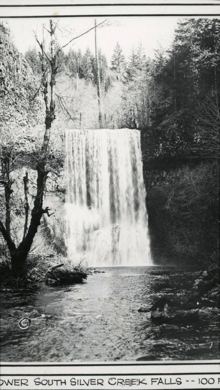
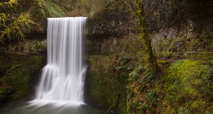
Silver Falls State Park, located about twenty miles southeast of Salem, is the largest state park in Oregon. The 9,064-acre park is notable for its numerous waterfalls, the tallest of which is Double Falls, at 178 feet. The best-known falls in the park is South Falls, at 177 feet.
The area was settled originally by the Kalapuyan Indians, who were removed through various treaties and resettled on the Grand Ronde Reservation. The Kalapuyans most likely used the area for hunting, as well as for spirit quests. A small town was established in the Silver Falls area, although it was abandoned by the time the park was created in 1933. Logging formed the backbone of the economy of the area in the nineteenth century.
Silver Falls State Park was established largely due to the efforts of two men: June Drake, a photographer based in Silverton, and Samuel Boardman, the first park superintendent for the State of Oregon. Drake approached the Salem Chamber of Commerce in 1931 and proposed that it purchase the land around the falls, using its connections with local landowners to acquire favorable options. The land would then be given to the state to be developed into a state park. The state accepted the plan, and Drake began acquiring land around the South Falls.
In July 1933, Silver Falls was officially dedicated as a state park. Samuel Boardman was responsible for developing Silver Falls, and many notable features of the park, including the myrtlewood furniture of the main lodge, were created by Boardman.
In 1935, the federal government proposed making Silver Falls into a Recreational Demonstration Area (RDA), one of only two on the West Coast. A Civilian Conservation Corps (CCC) study had determined that outdoor recreation areas were lacking in the United States, and the Corps was charged with constructing and adapting new sites into parks. The Resettlement Administration was responsible for purchasing the farmland around the falls, much of which was unproductive, and turning the land over to the CCC to become an RDA. The land around Silver Falls had been damaged by logging and farming and by two large fires in the nineteenth century, leaving a damaged watershed and many stumps. A CCC camp was established, which would remain in operation until 1942 to replant trees in the area and rehabilitate the landscape.
The CCC also built park structures and trails that led to the nine falls in the park. The structures were built according to the National Park Service Rustic Aesthetic guidelines, which had been codified in the 1920s. Works Progress Administration workers constructed the main concession building, the South Falls Lodge. The Federal Arts Project in Portland made a number of myrtlewood benches and tables for the building, many of which remain in the lodge at Silver Falls today. The CCC also built two youth camps at the site, which were opened in 1938.
In 1947, the Silver Falls RDA was transferred to the State of Oregon. At the time, the size of the park was around 6,300 acres, but successive purchases increased the park to its current size. The South Falls Lodge was operated until the late 1950s and was then restored in 1978; today, it is operated as a visitor information center. All of the original historic structures have been added to the National Register of Historic Places.
Nearly a million visitors a year visit the park, according to the Friends of Silver Falls. Silver Falls suffered from budgetary troubles when a 1980 ballot measure prohibited gasoline tax funds from being spent on anything other than road repairs; previously, state parks had been financed heavily through the gasoline tax. More financial problems followed through the 1990s, though funding from the Oregon Lottery has helped to stabilize the budget for the Oregon park system.
-
![]()
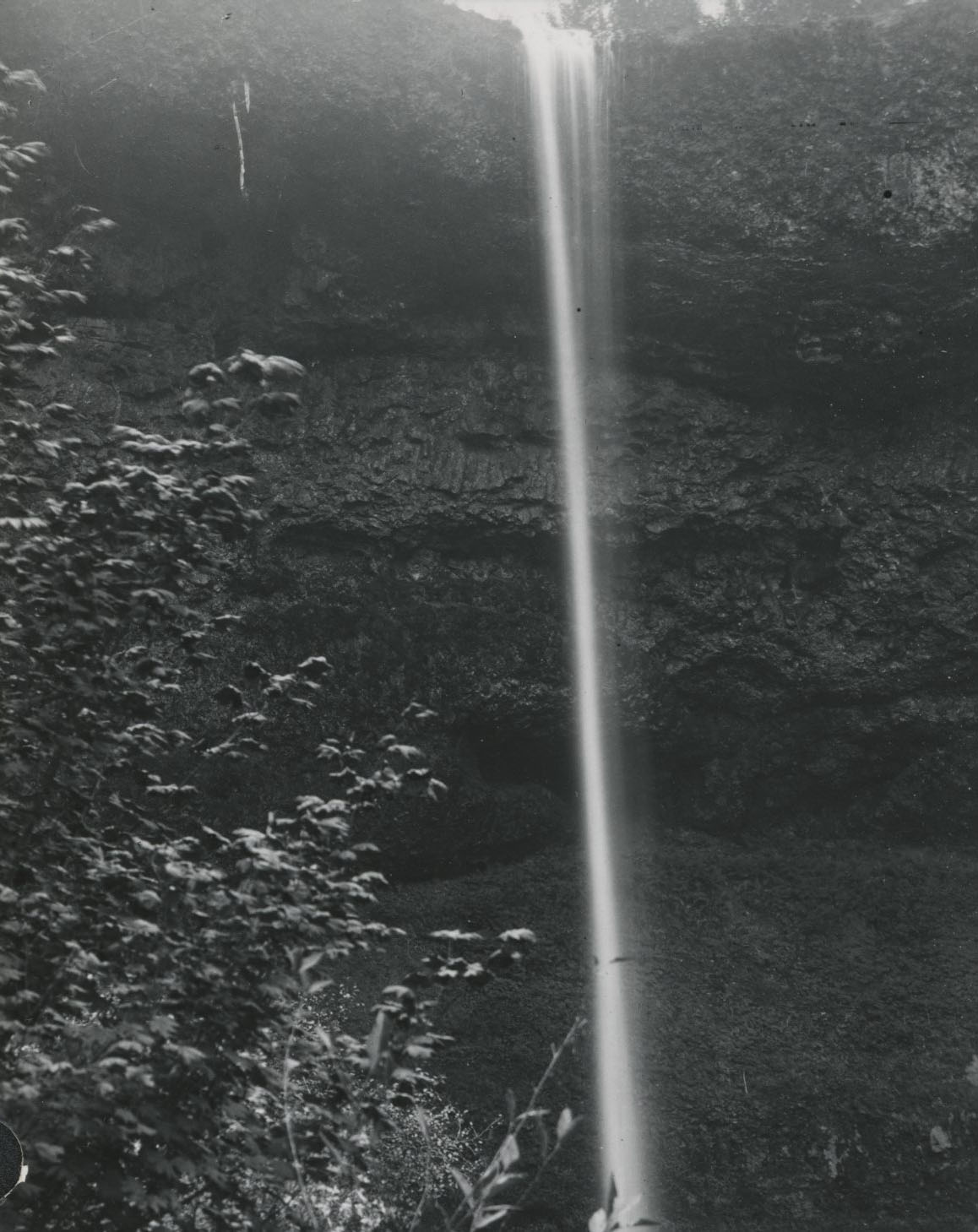
Silver Creek Falls, 1887.
Courtesy Oregon Hist. Soc. Research Lib., 0170G040
-
![]()
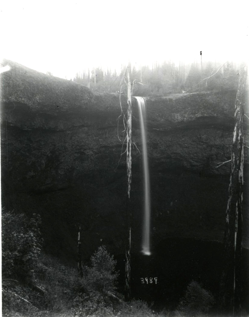
South Falls of Silver Creek Falls, 1887.
Courtesy Oregon Hist. Soc. Research Lib., 0182G009
-
![]()
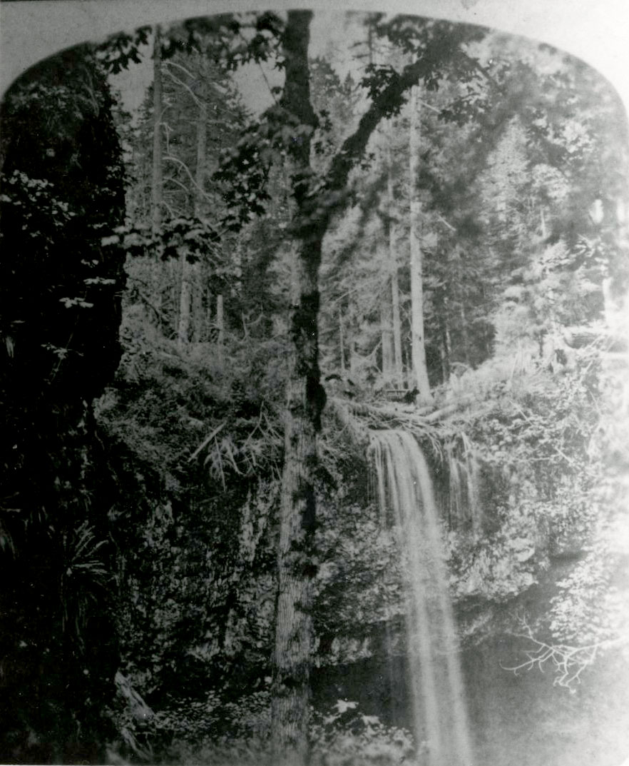
Silver Creek Falls.
Courtesy Oregon Hist. Soc. Research Lib., 019071
-
![]()
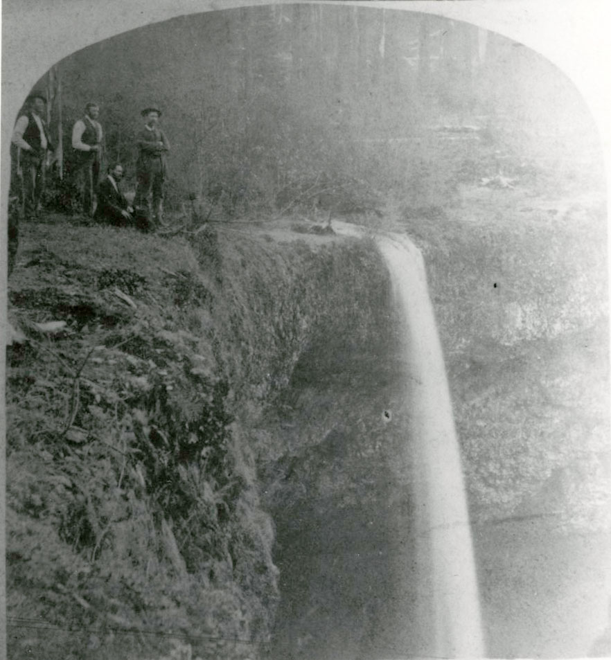
Silver Creek Falls; would become state park.
Courtesy Oregon Hist. Soc. Research Lib., 019036
-
![]()
Silver Creek Falls, 1928.
Courtesy Oregon Hist. Soc. Research Lib., 014224
-
![]()
Silver Creek Falls State Park.
Courtesy Oregon State Parks
Related Entries
-
![Al Faussett (1879-1948)]()
Al Faussett (1879-1948)
Al Faussett was an accomplished daredevil in the Pacific Northwest who,…
-
![Kalapuyan peoples]()
Kalapuyan peoples
The name Kalapuya (kǎlə poo´ yu), also appearing in the modern geograph…
-
![Samuel H. Boardman (1874-1953)]()
Samuel H. Boardman (1874-1953)
As the first state parks superintendent in Oregon, serving from 1929 to…
-
![Silverton]()
Silverton
The city of Silverton was established where Silver Creek flows northwes…
Related Historical Records
Map This on the Oregon History WayFinder
The Oregon History Wayfinder is an interactive map that identifies significant places, people, and events in Oregon history.
Further Reading
Armstrong, Chester. History of the Oregon State Parks, Salem: Oregon Highway Commission, 1965.
Cox, Thomas R. The Park Builders: A History of State Parks in the Pacific Northwest. Seattle: University of Washington Press, 1988.
Merriam Jr., Lawrence. Oregon’s Highway Park System 1921-1989: An Administrative History, Salem: Oregon Parks and Recreation Department, 1992.

