Located astride the backbone of the Cascade Mountains in the Willamette National Forest, Waldo Lake is a child of the sky, nourished wholly by rain and snow. The 6,700-acre lake is the second largest in the Cascades, after Crater Lake, and is the headwaters of the North Fork of the Middle Fork of the Willamette River. The lake, at 5,414 feet elevation just west of the Cascade crest, took form through a combination of volcanism and glaciation.
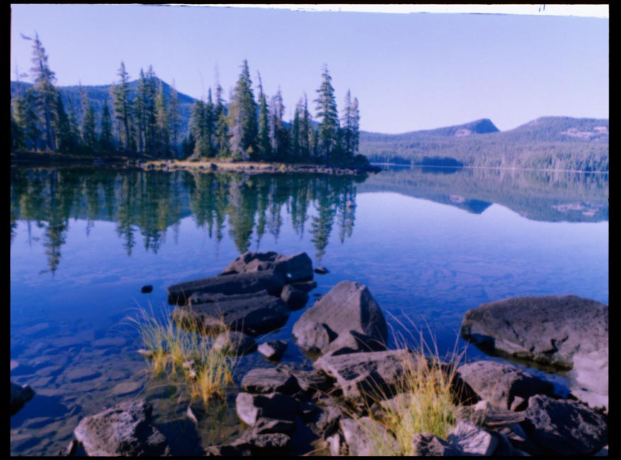
Waldo Lake is one of the purest freshwater bodies in the world, nearly as pure as distilled water. In periods of flat calm, it can be startling to look into the depths. This clarity gives Waldo its indigo hue, since all except the blue sunrays are absorbed. The lake serves as a baseline for worldwide limnological studies, and researchers have used a Secchi disk with black-and-white quadrants for visibility readings at depths of 90 feet or more. The deepest bottom sounding is 420 feet.
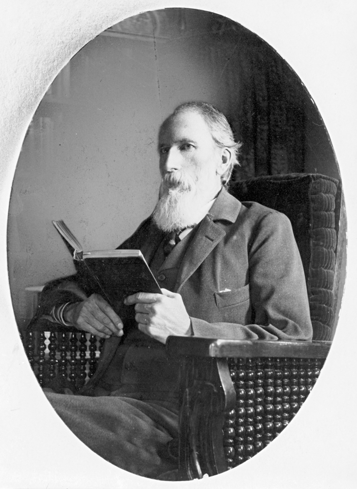
The lake’s namesake, Judge John Breckenridge Waldo (1844-1907), was elected Oregon State Supreme Court judge at the age of thirty-six. He horse packed, fished, hunted, and explored through the Cascades summer after summer. A favored campsite in late summer was at the south end of the lake under Mount Ray, where Waldo built a shelter. He was an early advocate for a federal forest reserve, Crater Lake National Park, and a wilderness reserve from Mount Hood to Crater Lake.
Native people lived and traveled through the Waldo Lake area for millennia. By the late nineteenth century, few non-Native people knew about the lake, other than trappers who sought martens and fishers in the hemlock forest around the lake and sheepmen who summered their flocks on the high meadows and old burns.
Then, in 1908, a group of investors formed Waldo Lake Irrigation and Power Company to transform the lake into a fluctuating reservoir that would have drawn the lake down 40 feet through tunnels and a canal. The plan was to drop the lake water 2,000 feet into the canyon of Black Creek, a tributary of the Middle Fork Willamette River, with four power plants en route. The failure of that project, with its eight bronze head gates, is visible at Klovdahl Bay, which was named for the project engineer, Simon Klovdahl. It was not until 1960 that the U.S. Forest Service sealed the leaking gates. It is estimated that if the water had been drawn down 40 feet it would have taken ten years for the lake to regain its natural level.
The lake is a favorite of kayakers and canoeists, and small boat sailors like its wild setting and reliable westerly winds. After years of pressure from environmental groups to ensure a wilderness experience and to preserve the lake’s water quality, the Oregon State Marine Board banned the use of gas-powered motors on Waldo Lake. The Oregon legislature added floatplanes to the ban in 2013.
About 170 miles of trail lead from Waldo Lake to dozens of smaller glacial-scoured lakes, cascading streams, canyons, and volcanic summits. The Waldo Lake Trail loops for 21 miles around the lake, with its isolated coves. The camping season is limited by the deepest snows of the Cascade crest country, which can block the access road and campsites until late June or early July.
The 1984 Oregon Wilderness Bill included the 37,162-acre Waldo Lake Wilderness, which stretches around all but the east shore of the lake, where forest camps with 200 developed units and boat ramps are located. Waldo Lake is accessed on a 12-mile paved Forest Service road from State Highway 58, southeast of Oakridge.
-
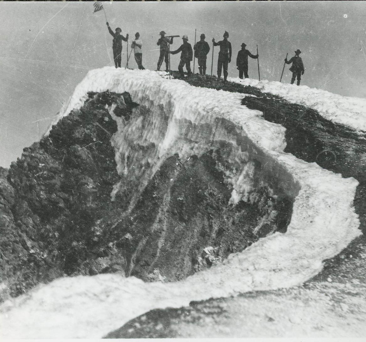
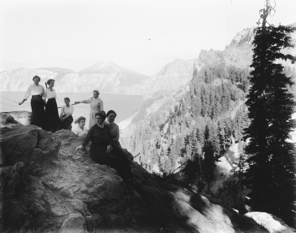
![Waldo Lake, 1923]()
Waldo Lake, 1923.
Waldo Lake, 1923 Courtesy Oreg. Hist. Soc. Research Lib., neg. no.014948
-
![Waldo Lake Reflected, by Larry Walker, 1996]()
Waldo Lake Reflected, by Larry Walker, 1996.
Waldo Lake Reflected, by Larry Walker, 1996 Courtesy Oregon Percent for Art, University of Oregon. "Waldo Lake Reflected" Oregon Digital
Related Entries
-
![Cascade Mountain Range in Oregon]()
Cascade Mountain Range in Oregon
The Cascade mountain system extends from northern California to central…
-
![Crater Lake National Park]()
Crater Lake National Park
Crater Lake National Park, which the U.S. Congress set aside in 1902, i…
-
![John B. Waldo (1844-1907)]()
John B. Waldo (1844-1907)
John Breckenridge Waldo was the first Oregon Supreme Court chief justic…
-
Willamette River
The Willamette River and its extensive drainage basin lie in the greate…
Map This on the Oregon History WayFinder
The Oregon History Wayfinder is an interactive map that identifies significant places, people, and events in Oregon history.
Further Reading
Atlas of Oregon Lakes. Online version. https://aol.research.pdx.edu/
Claeyssens, Paul G. Private Enterprise and Early Twentieth Century Water Resource Development on Oregon’s Second Largest Lake. Eugene, Ore.: Oakridge Ranger District, Willamette National Forest, May 1987.
Johnson, Daniel M. Atlas of Oregon Lakes. Corvallis, Or. : Oregon State University Press, 1985.
McAllister, Tom. "High lake has 'built in' protection." Oregon Journal, March 15, 1982.


