Southwestern Oregon’s Siskiyou Mountains, which comprise the largest subrange of the Klamath Mountains, are distinctive in their geology, biology, and history. The rugged terrain includes some of the oldest rocks in Oregon, and the mountains support by far the most diverse flora in the state. As a subrange of the Klamath Mountains, the Siskiyous are part of the second-most floristically rich region in North America and have become increasingly important for the preservation of wilderness, unusual ecotypes, and threatened species of flora and fauna. Once significant for mining and logging, the Siskiyous are also increasingly valued for the opportunities they provide for outdoor recreation and ecotourism.
The Siskiyou Mountains extend southward beyond the Oregon-California state line as far as the Klamath River, at which point other subranges of the Klamath Mountains (including the Scott Mountains, Trinity Mountains, and Salmon Mountains in northwestern California) continue farther south for about a hundred miles. Geologists often use the broader and more inclusive name Klamath Mountains when referring to the subrange in Oregon, but most Oregonians who live near them prefer the name Siskiyou Mountains.
The Siskiyou Mountains include parts of the Rogue River–Siskiyou and the Klamath National Forests and two national monuments—the Cascade–Siskiyou National Monument and the Oregon Caves National Monument and Preserve. They also include designated Wild and Scenic Rivers—the Rogue, the Chetco, the North Fork of the Smith, and the Illinois—as well as parts of three Wilderness areas—Red Buttes, Kalmiopsis, and Siskiyou. The Pacific Crest National Scenic Trail roughly follows the Siskiyou Crest, a rugged east-west divide between the Rogue and Klamath River watersheds.
Geography
In Oregon, the Siskiyou Mountains span approximately 4,300 square miles and occupy almost all of Curry and Josephine Counties and much of western Jackson County. As a geographic region, the Siskiyous extend from the Rogue River’s middle reach in Oregon, south to the lower Klamath River in California, east to the Bear Creek Valley in Jackson County, and west almost to the Pacific Ocean. Beginning just downstream from the Table Rocks in Jackson County, virtually the entire lower Rogue River drainage, including the Applegate and Illinois Rivers, is within the Siskiyous. In Oregon, the Chetco River and Smith River drainages abut the lower Rogue River watershed to the south.
Other than the gentle valley portions of the Applegate River and Illinois River watersheds, most of the Siskiyou Mountains have been eroded into steep slopes with narrow canyons. The dissected landscape, with its high mountain ridges between high-gradient river and stream drainages, contains several endemic species—that is, species that exist only in the Klamath Mountains. The terrain’s steep slopes prevent the accumulation of debris, which helps to naturally regulate the severity of wildfires. These conditions have contributed to the evolution of many subspecies of plants in the region.
Geology
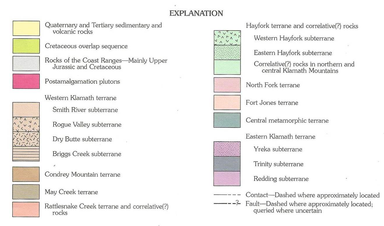
Metamorphic rocks—including phyllite, slate, schist, marble, greenschist, serpentine, gneiss, and amphibolite—predominate throughout the Klamath Mountains. Unlike the younger Coast Range and Cascade Range, the Klamaths, including the Siskiyous, were formed over 250 million years by complex geologic processes, including the collision of successive belts of volcanic island arcs and the deep accumulations of seafloor deposits that rode atop an oceanic tectonic plate and eventually collided with the North American continental plate. These volcanic and sedimentary deposits were accreted, or added, to the North American continent along lengthy fault zones (see the north- and south-trending accreted terranes in map below).
The Klamaths’ fault zones mark the boundaries of different geologic terranes. A terrane is an area of the Earth’s crust that has a distinctive stratigraphy, structure, and geologic history, and it is usually bounded by faults between it and adjacent terranes. Each terrane contains rocks of different ages, compositions, and metamorphic intensity. The terranes of the Klamath Mountains also contain fossilized flora and fauna that have similarities to ancient species in Asia. In general, the oldest rocks and terranes occur in the eastern part of the Klamath Mountains, including in the Siskiyous, with successively younger terranes occurring to the west. The newest terranes formed during the Jurassic period, about 170 to 165 million years ago.
The number of terranes that collided with and attached to what are now the Klamath Mountains—each comprised of its own distinct rock formations and geologic age—turned the Siskiyous into a quiltlike geologic wonder. Among the earliest easternmost terranes in the Siskiyous is the Hayfork, formed during the Upper Triassic to Middle Jurassic periods of the Mesozoic era (known as the Age of Reptiles), about 250 million to 150 million years ago.
Composed largely of low-grade, metamorphosed oceanic sediment and volcanic rocks, a small section of the Hayfork terrane abuts the western edge of the Rogue River and Bear Creek Valleys and extends across much of the Applegate Valley. Accreted terranes located to the west of the Hayfork are the younger May Creek terrane and the Western Klamath terrane, which includes the Rogue Valley and the Smith River subterranes. The Smith River subterrane has an extensive area that geologists call the Josephine Ophiolite, which dates to the Jurassic period. An ophiolite consists of metamorphosed igneous rocks that were originally derived from the ocean’s crust and its even deeper mantle. Its contents tend to be mafic and ultramafic rocks (so-called because of their high percentages of magnesium and iron), such as dunite and peridotite. Gradual plate-tectonic movement subsequently uplifted and overthrust the Josephine Ophiolite onto what is now the surface of the western Siskiyous.
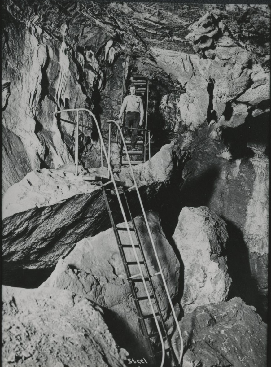
Rare among the Siskiyous’ metamorphic rocks is marble, recrystallized limestone that can be dissolved by groundwater to form sinkholes and caves. The caverns at the Oregon Caves National Monument and Preserve, near Cave Junction in the Illinois Valley, are the result of this kind of erosion, which formed subterranean marble halls of stalactites, stalagmites, and columns.
Over time, especially about 160 to 136 million years ago during the late Jurassic and early Cretaceous periods, bodies of molten magma intruded upward into the ancient Klamath Mountains, including the Siskiyous. Because these scattered and sometimes large magma bodies did not break the surface of the Earth, they cooled slowly and formed intrusive igneous rocks, including granite and granitelike rocks such as granodiorite, diorite, and gabbro. These intrusive igneous bodies are called plutons. Among the largest plutons in the Siskiyous is the Ashland pluton, which includes the 7,532-foot-high Mount Ashland—the highest peak in the Oregon Siskiyous—and the Grayback, Grants Pass, and Jacksonville plutons.
The mass of accreted terranes and intruded rocks that became the Klamath Mountains was uplifted beginning about 20 million years ago, during the early Miocene epoch of the Cenozoic era (the so-called Age of Mammals). Across the range, summits of the knifelike ridges tend to be between 6,500 and 7,000 feet in elevation, which indicates that they likely represent remnants of a peneplain—that is, a plainlike region that was eroded throughout its gradual uplift and by subsequent downcutting by rivers and streams into a rugged, steep terrain. During the Pleistocene epoch (from about 2 million to 12,000 years ago), small glaciers formed on the summits of the highest peaks in the Siskiyous, leaving behind glacial cirques and moraines.
Flora
The Klamath Mountains are one of the two most diverse floristic regions in North America (the other is the southern Appalachian Mountains). The Siskiyou subrange forms a land bridge for flora between the Cascade Range and the Pacific Coast and between the southern Oregon Coast Range and the northern California Coast Range. The mountains are geographically situated such that many plant species whose main habitats are well to the north or south (and east or west) overlap here. Species from the arid Great Basin east of the Coast Range and the wet coastal zone to the west, for example, grow within short distances of each other. At Mount Ashland, small communities of sagebrush and quaking aspen—species generally found in more arid regions—grow on south-facing slopes, whereas salal, a coastal plant, is found at a lower elevation on the north slope. Groves of curl-leaf mountain mahogany survive on the summits of Wagner Butte, four miles northwest of Mount Ashland, and Dutchman Peak, nine miles west of the mountain, many miles from its home range in southeastern Oregon’s High Desert.
Botanists believe that the Klamath Mountains have the richest assemblage of conifer species of any temperate region on Earth. The dense forests in the Siskiyou Mountains, for example, contain many of the conifer species found elsewhere in the western United States—ponderosa pine, Douglas-fir, white fir, incense-cedar, sugar pine, western white pine, and Pacific yew. But because the Siskiyous are between the drier climate of Northern California and the wetter climate of Oregon, the mountains are also home to conifer species that grow at or near the edge of their normal range, including noble fir, western red cedar, and a few western juniper. The northernmost occurrences of Jeffrey pine, knobcone pine, and coast redwood also are found in the Siskiyous.
Some conifer species in the Siskiyous are so distant from their main range to the north or east that botanists consider them to be disjunct stands—that is, clusters that are widely separated from the main populations of the same species. Other examples from the Siskiyous include Alaskan yellow cedar, Engelmann spruce, subalpine fir, Pacific silver fir, and whitebark pine. The presence of these relict species is evidence of the region’s role as a glacial refugium—a place where plants and animals survived during the Pleistocene Epoch (Ice Age) when glaciers scoured much of the Cascade Range and the northern Rocky Mountains and species migrated south to find tolerable habitat.
Brewer’s spruce is endemic to the Klamath Mountains, including the Siskiyous, and Baker cypress is found only in the Klamath Mountains and the southern Cascade Range, from McKenzie Pass south to Lassen Peak. Far more common and widespread is Shasta fir, a hybrid of noble fir, and California red fir, which is found in the Siskiyous and in the Cascade Range from McKenzie Pass south into California.
Many nonconifer species and subspecies grow only in the Klamath Mountains and the Siskiyous, including Del Norte willow; Sadler oak, a shrub form of evergreen oak; North Umpqua kalmiopsis, the smallest member of the rhododendron family; Yreka phlox; and Mount Ashland lupine. The carnivorous pitcher plant known as the cobra lily is virtually endemic to the Siskiyous, with some minor occurrence farther north along the Oregon Coast.
Many of the region’s plants are edaphic species; that is, they have adapted to special environmental situations in the soil, in this case soil formed from ultramafic rocks such as peridotite and serpentinite. These soils have low levels of major nutrients, such as nitrogen and potassium, and notably high levels of magnesium and heavy metals, which create difficult conditions for most plants. Flora of Oregon reports that “over 140 species of specialized native endemic plants” have adapted to the ultramafic soils of the Siskiyous and the Klamath Mountains.
A widespread vegetation type in the Siskiyous is the sclerophyllous shrub species, plants that thrive in dry, hot conditions in part because of their small, stiff evergreen leaves. These plants play an important role by resprouting from their roots after a fire. Sclerophyllous plants include stiff-leaf, broadleaf evergreen species such as canyon live oak, Pacific madrone, chinquapin, and tanoak, and shrubs such as manzanita, snowbrush ceanothus, buckbrush ceanothus, huckleberry oak, shrub chinquapin, and silk tassel. These shrubs can occur together as an understory community in old-growth conifer forests, where they form virtually impenetrable brush fields of chaparral on south-facing and west-facing slopes.
Fauna
The rivers in the Siskiyou Mountains support a variety of fish species, although generally substantially smaller populations than in the past. Anadromous species include Coho and Chinook salmon, steelhead trout, coastal cutthroat trout, Pacific lamprey, and green sturgeon. Native fish include rainbow trout, three species of sculpins, Klamath smallscale sucker, three-spined stickleback, and speckled dace.
The Siskiyous support the most diverse amphibian and reptilian species found in similarly sized mountain ranges in the Pacific Northwest. Most species of birds, reptiles, and amphibians found elsewhere in western Oregon are also present in the Klamath Mountains. Several bird species typically found east of the Cascade Range, including the white-headed woodpecker and the green-tailed towhee, seasonally travel far west of their main range into the Siskiyous, and the rufous hummingbird and California towhee extend their breeding range into the mountains.
For millennia, the steep slopes of the Klamath Mountains have kept some salamander populations separated from each other, contributing to the development of different species with very small ranges. The steep terrain is home to two endemic species of lungless salamander, which breathe through their skin and the mucous membranes of their mouths and throats. The climate and terrain also attract the blue gray butterfly and the Coronis fritillary. The endemic Franklin’s bumblebee, which is on the verge of extinction, has the smallest geographic range of any bumblebee in the world, less than 200 by 75 miles.
Mammals include black bears, cougars, bobcats, coyotes, red foxes, gray foxes, black-tailed deer, ringtails, and gray squirrels. The Klamath Mountains had sizable populations of grizzly bear and gray wolf before they were overhunted by EuroAmericans beginning in the nineteenth century. Roosevelt elk were largely hunted out by sportsmen by the 1920s; wildlife agencies have reintroduced them into the Klamath Mountains.
Human History
People were living in present-day central Oregon at least 14,500 years ago, but reliable evidence for the presence of people in southwest Oregon is sparse. Archaeological excavations point to the presence of people in the region sometime before about 11,000 years ago. Evidence found at sites along the Pacific Coast, from Alaska to Chile, indicates that some of the earliest people to arrive in the Americas likely traveled by watercraft south along the coast from present-day Alaska. That route would have brought them along the shore immediately west of the Klamath Mountains at a time when a lower sea level provided a wide band of fairly level coastal land.
At the time when Indigenous peoples had early encounters with European and EuroAmerican explorers, the population density in southwestern Oregon appears to have been significantly lower than for Indigenous groups on the Columbia River, near Puget Sound, and in California’s Central Valley. Archaeological evidence suggests that southwestern Oregon’s lower population density was characteristic for thousands of years, in part because the terrain of the Klamath Mountains made habitation difficult.
The people who moved into southwestern Oregon and northwestern California comprised one of the most ethnically and linguistically diverse populations in North America. The four language families, to which the individual languages belonged, were Hokan, spoken by Shasta and Karuk; Macro-Penutian, spoken by Takelma; dialects of Athapascan, spoken by Tututni, Chetco, Tolowa, and other groups near the coast; and Algic, spoken by Yurok on the lower Klamath River. They hunted game, gathered edible plants, and fished the Rogue River and its tributaries during the seasonal runs of salmon, lamprey, and other species. Native people grew tobacco from cultivated seeds and frequently set low-intensity fires to preserve oak woodlands for acorn production and to enhance browse for deer and elk.
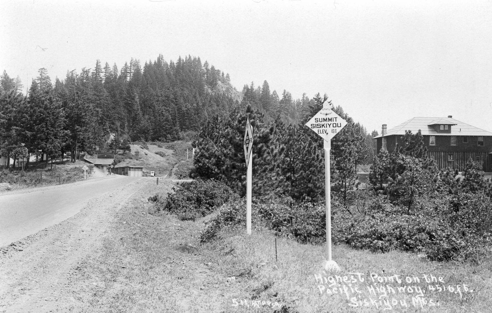
During the late eighteenth century, maritime explorers arrived on the Pacific Coast from Europe, New England, and Spanish Mexico. After 1811, fur trappers, traveling overland to the Columbia River, arrived in the Pacific Northwest, and fur-trapping brigades traveled through present-day southwestern Oregon from the late 1820s through the early 1840s. In 1829, Hudson’s Bay Company fur trader Alexander Roderick McCleod and a group of French-Canadian trappers named Siskiyou Pass (present-day Siskiyou Summit on Interstate Highway 5), using the Cree word for bobtailed horse because one such horse had perished nearby during a blizzard. Much of the land to the west and east of the pass was soon called the Siskiyou Mountains, a term that at the time included part of the Western Cascades. Today, the name Siskiyou is correctly applied only to the mountains that extend to the west of Siskiyou Pass.
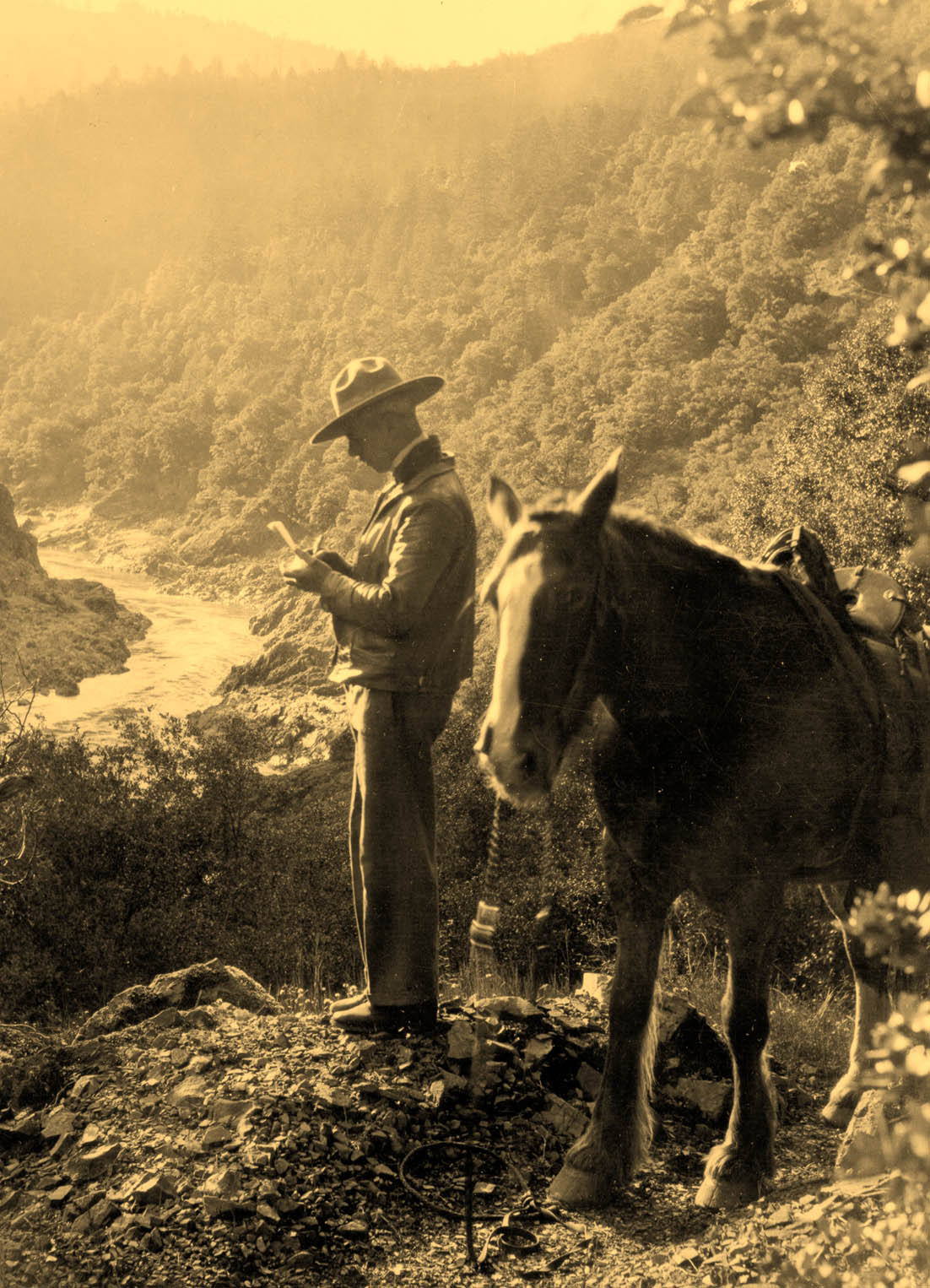
Thousands of miners surged into the Siskiyou Mountains after gold was discovered there in 1851. By the 1870s and 1880s, small-scale streamside gold mining gave way to hydraulic-mining operations, which left miles of abandoned ditches that had carried water needed for the process around the steep slopes of the lower Rogue River and the Applegate and Illinois River drainages. Human activity associated with mining was an ecological disaster for Native people, a desecration of their homeland that often involved violence.
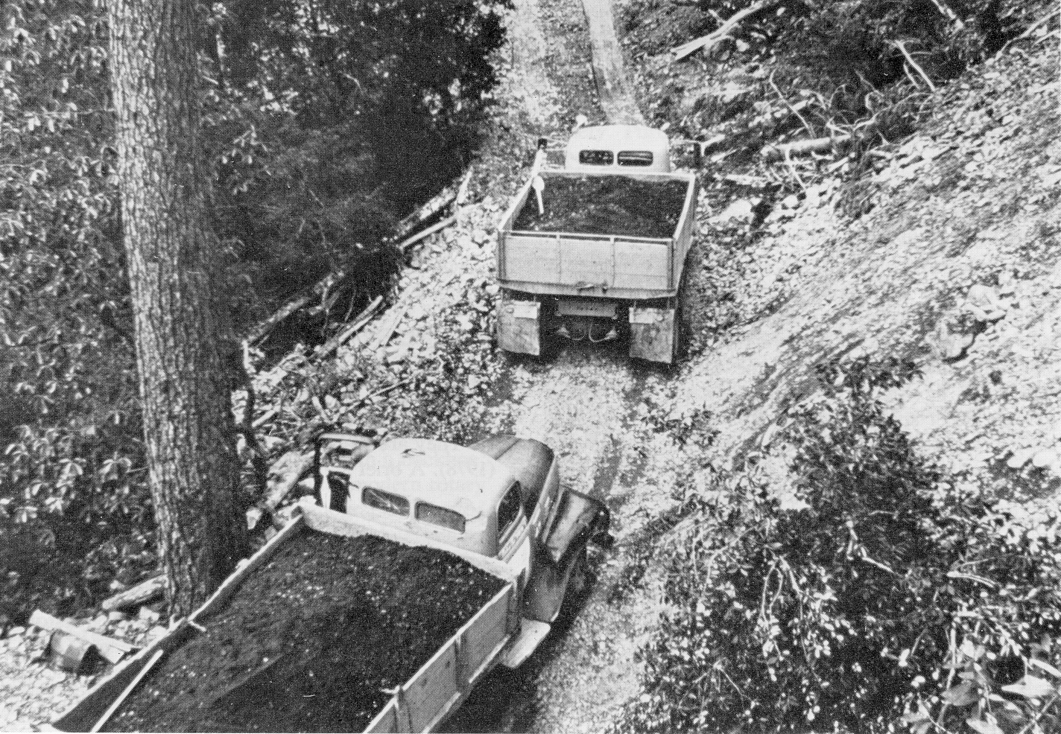
The incursion of miners prompted six years of bloodshed and war and ended with the removal of hundreds of Native people to reservations in northwestern Oregon. During the early twentieth century, in addition to ongoing gold mining, several large copper-mining operations were active. Nickel and chromite (used as an alloy of steel) were mined from ultramafic deposits during both world wars, and the federal government subsidized local chromite mining as a strategic mineral during the early Cold War.
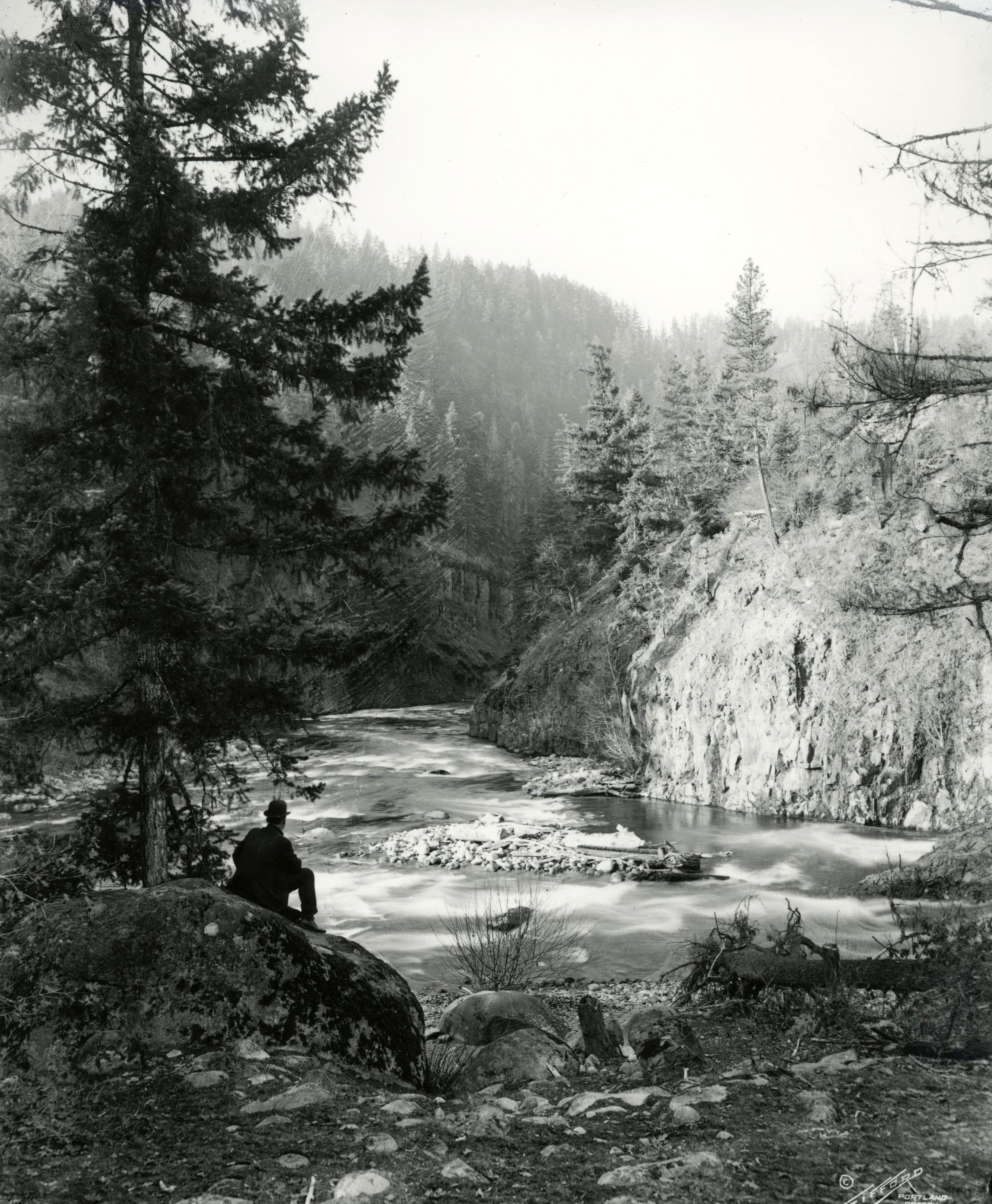
The Rogue River’s rich anadromous fish runs drew R. D. Hume, called the Salmon King of Oregon, to the mouth of the river in 1877, where he built a large cannery and established an aggressive commercial enterprise. Gill nets and fishwheels took a toll on fish numbers, as did turbidity from hydraulic gold-mining operations upriver. In Hume’s peak year of 1890, he packed over 160 million pounds of salmon; by 1908, the catch was less than a third of that amount. Oregon outlawed commercial fishing on the Rogue River in 1935. In the twenty-first century, scores of sport fishers cast their lines from Rogue River drift boats, modified dories made of wood or aluminum.
The variety of tree species in the Siskiyous fostered wood-products operations beginning in the late nineteenth century. By 1920, many of the area’s large-diameter tanoaks had been girdled—stripped of their bark for use in tanning leather—and died. Logging and milling were confined to a few low-elevation conifer forests until the early twentieth century, when railroad logging cut trees on heavily timbered slopes near Brookings and Powers on the Oregon Coast. In the 1930s and 1940s, Port Orford cedar was harvested to make separators for batteries used in automobiles and submarines. The large-scale commercial timber harvest of Douglas-fir and other conifers in the Siskiyous began after World War II, when the U.S. Forest Service built several thousand miles of roads in logging areas. Logging declined steeply in the 1990s, and most of the local sawmills are now gone.
Farming and ranching began in the 1850s and 1860s in the Applegate and Illinois Valleys. Cattle and sheep seasonally grazed in the high mountain meadows, and cattle remain important livestock in the region. During the twentieth century, alfalfa hay was a major crop, and hops and gladiolus bulbs were grown as well. By the twenty-first century, agriculture included wine-grape vineyards and hemp and cannabis operations.
Outdoor recreation has been a cultural and economic factor in the Siskiyous, from traditional mainstays such as hunting, fishing, hiking, and backcountry camping to birding, botanizing, and whitewater rafting. In the twenty-first century, commercial outfitters and eco-tourism are a significant part of the local economy.
The Siskiyou Mountains remain the least-populated part of Oregon west of the Cascade Range. The only towns of any substantial size in the Siskiyous are Grants Pass (pop. 39,000) and Cave Junction (pop. 2,000), both in Josephine County. Formerly based on a logging and wood-products economy, the two cities now support an increasing number of retired residents. At the base of the easternmost foothills of the Siskiyou Mountains, the Jackson County towns of Ashland (pop. 21,000) and Jacksonville (pop. 3,000) are tourist and retirement meccas.
-
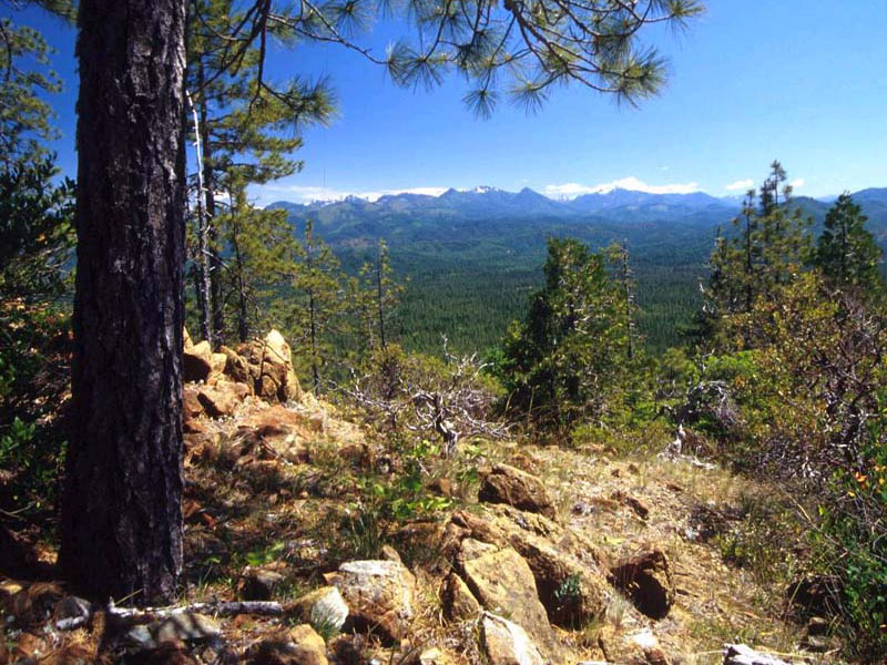
![Illinois Valley in the middle distance and more of the Siskiyou Mountains on the horizon.]()
View south from an ultra-mafic/serpentine outcrop with a Jeffrey pine on the left.
Illinois Valley in the middle distance and more of the Siskiyou Mountains on the horizon. Courtesy Lee Webb, U.S. Forest Service -
![]()
Geologic map of the Klamath Mountains, by W. P. Irwin, 1994.
Courtesy USGS
-
![]()
Key to Geologic map of the Klamath Mountains, by W. P. Irwin, 1994.
Courtesy USGS
-
![]()
The view on Deer Creek Road in the Siskiyou Mountains, 2010.
Courtesy Gary Halvorson, Oregon State Archives -
![]()
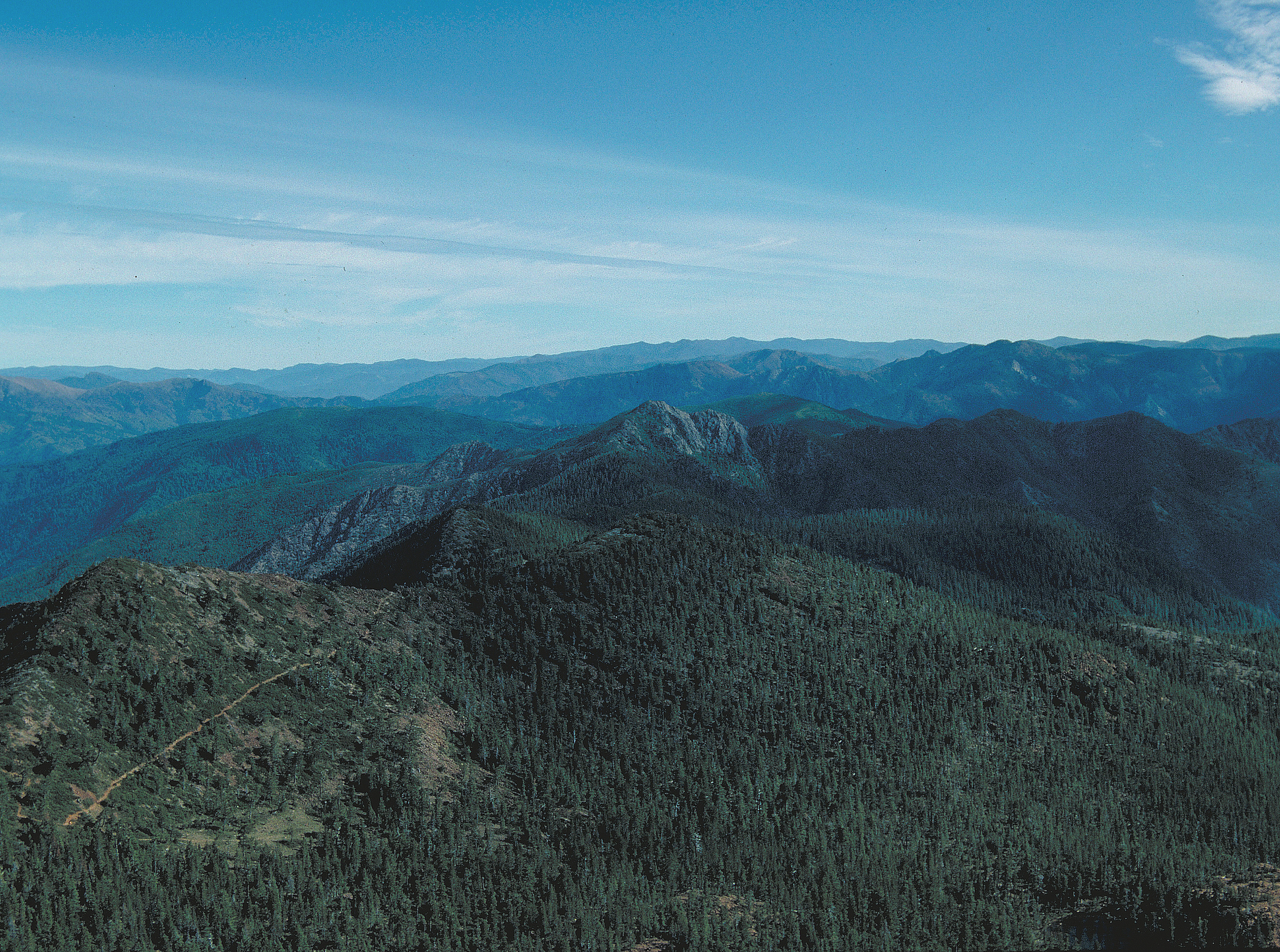
Little Grayback Mountain, Siskiyous.
Courtesy Klamath-Siskiyou Wildlands Center -
![]()
Westerly view from Hobart Bluff in the southern Cascade Range showing the Siskiyou Mountains and Bear Creek Valley in the distance.
U.S. Bureau of Land Management -
![]()
Abies magnifica var. shastensis, Shasta red fir, Mount Shasta, Siskiyou County, CA., 2009.
Courtesy Iwona Erskine-Kellie, Wikimedia Commons
-
![]()
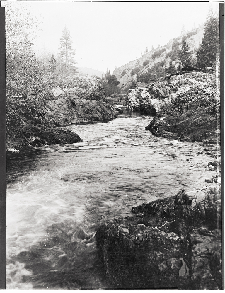
Rafters negotiate Mule Creek Canyon on the Rogue River, 2005.
Courtesy Zachary Collier, Wikimedia Commons -
![]()
Brewer's Spruce tree on ridge above Bear Lake in the Siskiyou Mountains, Northwestern California.
Courtesy J. Malone, Wikimedia Commons -
![]()
Baumgartner cabin, Gardner Mine Trail 1122, chromite site, 1968.
Courtesy Rene Casteran, Southern Oregon Digital Archives, Hannon Library, Southern Oregon University -
![]()
Jeffrey pine serpentine shrubland on the Siskiyou National Forest.
Courtesy Lee Webb, U.S. Forest Service -
![Trucks from Mine 249 in Josephine County bound for Grants Pass, 1954.]()
Chromite ore trucks, 1954.
Trucks from Mine 249 in Josephine County bound for Grants Pass, 1954. L. Ramp and N. V. Peterson, "Geology and Mineral resources of Josephine County, Oregon," Oreg. Dept. of Geology and Mineral Ind., Bulletin 100, 1979, fig. 18.
Related Entries
-
![Applegate River]()
Applegate River
The approximately sixty-mile-long Applegate River is one of three north…
-
![Athapaskan Indians]()
Athapaskan Indians
According to Tolowa oral histories, the Athapaskan people of southern O…
-
![Cascade-Siskiyou National Monument]()
Cascade-Siskiyou National Monument
“With towering fir forests, sunlit oak groves, wildflower-strewn meadow…
-
![Grants Pass]()
Grants Pass
Located on the Rogue River about thirty miles northwest of Medford, Gra…
-
![Klamath River]()
Klamath River
The Klamath River originates on a plateau east of the Cascade Range in …
-
![Mount Ashland]()
Mount Ashland
At 7,532 feet, Mount Ashland is the tallest mountain in Oregon west of …
-
![Oregon Caves National Monument]()
Oregon Caves National Monument
Only a few places in the Beaver State are named in reference to Califor…
-
![Port Orford Cedar]()
Port Orford Cedar
Port-Orford-cedar (Chamaecyparis lawsoniana)—also known as white or Ore…
-
![Robert Deniston Hume (1845-1908)]()
Robert Deniston Hume (1845-1908)
Love him or hate him, Robert Deniston Hume, called R.D. for short, was …
-
![Rogue River]()
Rogue River
The Rogue River, Oregon’s third-longest river (after the Columbia and W…
-
![Siskiyou National Forest]()
Siskiyou National Forest
The Siskiyou Forest Reserve was created on March 2, 1907; within two da…
-
![Siskiyou Pass]()
Siskiyou Pass
Siskiyou Pass, including the 4,310-foot-high Siskiyou Summit of Interst…
-
![The Siskiyou Regional Education Project]()
The Siskiyou Regional Education Project
The Siskiyou Regional Education Project, founded in 1983 in Takilma, Or…
Related Historical Records
Map This on the Oregon History WayFinder
The Oregon History Wayfinder is an interactive map that identifies significant places, people, and events in Oregon history.
Further Reading
Beckham, Stephen Dow. Cultural Resource Overview of the Siskiyou National Forest. Grants Pass, Ore.: U.S. Forest Service, 1978.
Franklin, Jerry D., and C.T. Dyrness. Natural Vegetation of Oregon and Washington. Portland, Ore.: U.S. Forest Service, 1988.
Irwin, William P. Geologic Map of the Klamath Mountains, California and Oregon: U.S. Geologic Survey Miscellaneous Investigation Series Map I-2148, 1994.
Kauffman, Michael. Conifer Country: A Natural History...of the Klamath Mountains Region. Kneeland, Calif.: Backcountry Press, 2012.
LaLande, Jeffrey M., Prehistory and History of the Rogue River National Forest: A Cultural Resource Overview. Medford, Ore.: U.S. Forest Service, 1980.
Meyers, S.C., T. Jaster, K.E. Mitchell, and L.K. Hardison. Flora of Oregon: Pteridophytes, Gymnosperms, and Monocots. Vol 1. Fort Worth: Botanical Research Institute of Texas, 2015.
Moores, Eldridge M., and Robert J. Twiss. Tectonics. New York: W.H. Freeman and Company, 1995.
Orr, Elizabeth L., and William N. Orr. Oregon Geology. 6th ed. Corvallis: Oregon State University Press, 2012.
Waring, R. H. “Forest Plants of the Eastern Siskiyous: Their Environmental and Vegetational Distribution.” Northwest Science 43. 1 (1969).
Whittaker, R.H. “Vegetation of the Siskiyou Mountains, Oregon and California.” Ecological Monographs 30.3 (1960): 279–338.
D, Harper, G. J. Saleeby, and M. Heizler. "Formation and emplacement of the Josephine ophiolite and the Nevadan Orogeny in the Klamath Mountains, California-Oregon." Journal of Geophysical Research, Solid Earth 99.B3 (1994): 4293-4321.

