Laidlaw, now called Tumalo, is an unincorporated town on the Deschutes River seven miles west of Bend. Tumalo is also the name of the surrounding area and a local creek that supplies irrigation water. The name Tumalo derives from a Klamath reference to memorable associations with Tumalo Creek: tumallowa (icy water), temolo (wild plum), or temola (ground fog).
During 1902-1906, Laidlaw appeared to be a likely development hub in west-central Oregon. Promoters envisioned this Deschutes River crossing place as the junction of a railroad south from the Columbia River and a railroad east along the Santiam Wagon Road from Yaquina Bay to Salt Lake City.
EuroAmerican settlement had begun in the area in about 1880. The original Tumalo post office opened in July 1904 at the Wimer family ranches on Bull Flat, five miles southwest of the present town. In 1913, the settlement—by then largely superseded by a new town called Laidlaw—became part of the site of Tumalo Reservoir, so named by Olaf Laurgaard, engineer and construction superintendent.
Laidlaw was platted in August 1904 by William A. Laidlaw as the on-site principal for the Laidlaw Townsite and Banking & Trust companies, the Columbia Southern Railway Company, and the Columbia Southern Irrigation Company. A tent city of irrigation company workers, land sales agents, and tradespersons formed at the site around 1902. The Laidlaw post office opened in December 1904.
Laidlaw languished because the railroad was never built and the irrigation project (now the Tumalo Irrigation District) enriched its promoters but failed to deliver water as promised. Locals hanged Laidlaw in effigy in 1907 and 1912. They renamed their town Tumalo. The post office at this location, since closed, became Tumalo in 1915.
The District office (1905), shops (1905 and 1913), the church (1907), Grange Hall (1916), and several houses and retail structures from the early years remain in use.
Tumalo, never incorporated and long without a post office, is zoned a “rural service center.” The Tumalo area has seen remarkable growth from parcelization of the original farms and nonirrigated rural lands. The town itself has struggled to find its economic niche in the shadow of Bend. The lives of Tumalo-area residents are divided between Bend and Redmond: for example, the Tumalo area has Bend addresses, and Tumalo School is in the Redmond school district.
The name Tumalo derives from a Klamath reference to memorable associations with Tumalo Creek: tumallowa (icy water), temolo (wild plum), or temola (ground fog).
-
![]()
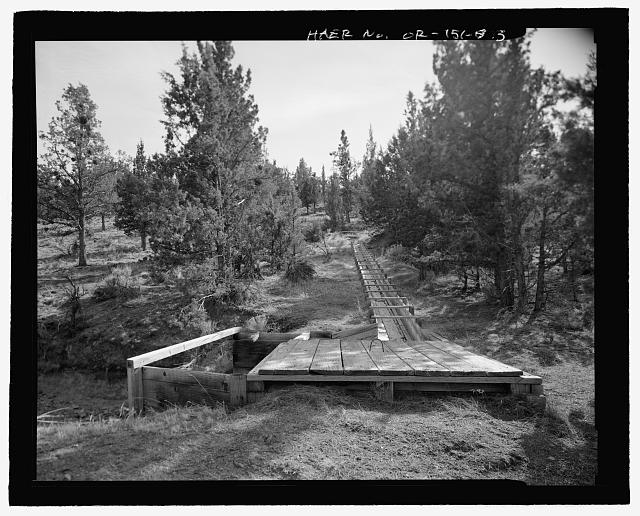
Tumalo Irrigation District.
Courtesy Tumalo Irrigation District, State of Oregon -
![]()
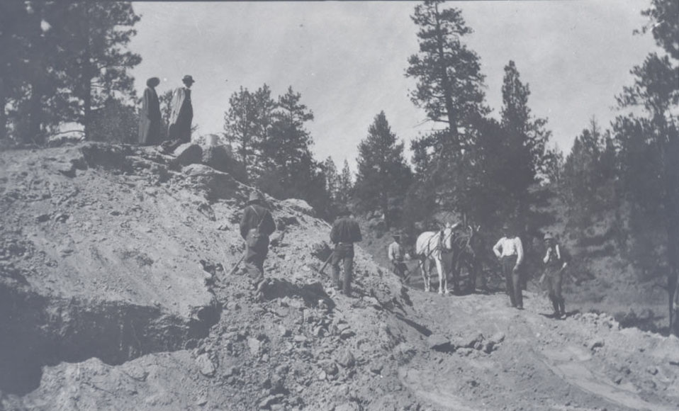
Tumalo crew at work building sections of tumalo feed canal.
Oregon Historical Society Research Library, Tumalo Irrigation Project collection
Related Entries

Related Historical Records
Map This on the Oregon History WayFinder
The Oregon History Wayfinder is an interactive map that identifies significant places, people, and events in Oregon history.
Further Reading
Clark, Keith and Donna Clark. “Pioneers of Deschutes Country.” In High & Mighty: Select Sketches about the Deschutes Country, edited by Thomas Vaughan, 51-53, 92. Portland: Oregon Historical Society, 1981.
Winch, Martin. “Tumalo: Thirsty Land.” Oregon Historical Quarterly 85:4 (Winter 1984): 341-374.