The Waldo Hills are situated on the east side of the mid Willamette Valley, beginning nine miles from Salem. The hills run north to south between Silverton and Sublimity and range in elevation from 400 to 800 feet. The hills originally formed over sixteen million years ago when lava from the Columbia Basin flowed through gaps in the old Cascade Mountains. The Waldo Hills were named for Daniel Waldo, an influential settler who was part of the Great Migration of 1843.
Humans have inhabited this area for at least 13,000 years. Archaeological evidence suggests that Indigenous people lived along the Cascade foothills long before they moved into the valley to avoid flooding and wet conditions at the end of the last glacial period. The Pudding River (ha’nt’cyuk) and Santiam bands of the Kalapuya were the primary inhabitants before EuroAmerican settlement.
The Waldo Hills provided plenty for seasonal gathering and hunting. Forested canyons sheltered game as well as berries, nuts, medicinal herbs, and woody shrubs for basketry, arrows, and sweat lodges. Numerous streams and beaver ponds harbored aquatic species. Massive fir and cedar trees provided shelter, and windfall cedars were used to construct plankhouses. Extensive upland prairies contained tarweed and acorns, while camas thrived in oak woodlands. Sedges, reeds, skunk cabbage, and other useful plants grew in wet streamside prairies.
The Kalapuyans’ use of fire enhanced food variety and increased biological diversity, creating a landscape of open prairies with broadly formed Oregon white oaks, forested canyons, and lush riparian areas. When fire practices ended, thick brush grew over the unmanaged prairie.
At the time of settlement, the Molala people occupied upper elevations of the hills. A major north-south trading route to Willamette Falls crossed here rather than the valley, “for the valley was high in mud in the winter, high in tall grass in summer.” The route was first known as the Molala Indian Trail and later the East Side Territorial Road; it is now Cascade Highway.
The area was attractive to white settlers. In 1851, Donation Land Claim surveyors described the land as “hilly and Broken but not enough so as to prevent a general Cultivation,” mostly “Prairie with the Exception of strips of Timber along the Streams,” and “well watered with Springs and Mountain Streams.”
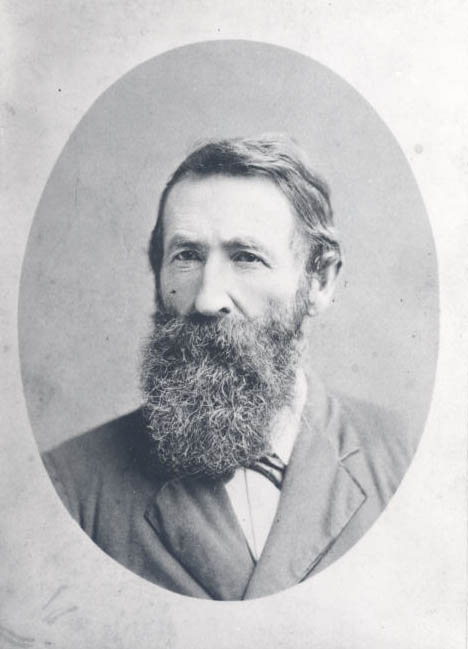
Daniel Waldo had arrived in 1843 from Missouri with sixty head of American cattle. Settling in the hill country to avoid malaria in lowlands, he helped new settlers and funded some of the valley’s first industries. He served as legislator, district judge, and county treasurer. His son, John B. Waldo, became an Oregon Supreme Court Justice and wilderness preservationist.
Timothy Davenport settled in the Waldo Hills and married Florinda Geer, daughter of Waldo Hills’ nurseryman Ralph C. Geer. A surveyor, writer, farmer, and shopkeeper, Davenport was a member of the Oregon House of Representatives and State Senate and served as Indian agent to the Umatilla Reservation from 1862 to 1863. Davenport became known as the “sage of Silverton.” His son, Homer Davenport, became an influential political cartoonist for Hearst publications. T.T. Geer, Oregon’s first native-son governor and cousin of Ralph Geer, farmed land on the western edge of the Waldo Hills.
Today, farmers in the Waldo Hills grow grass seed, wheat, oats, Christmas trees, and vineyards along with pasture and timberlands. Occasional remnant oaks still grace hilltop grass seed fields, serving as testament to the once abundant savanna and prairie. Though Daniel Waldo's home stands in disrepair, the original homestead of Ralph Geer now serves as the historic GeerCrest Farm and Historical Society.
-
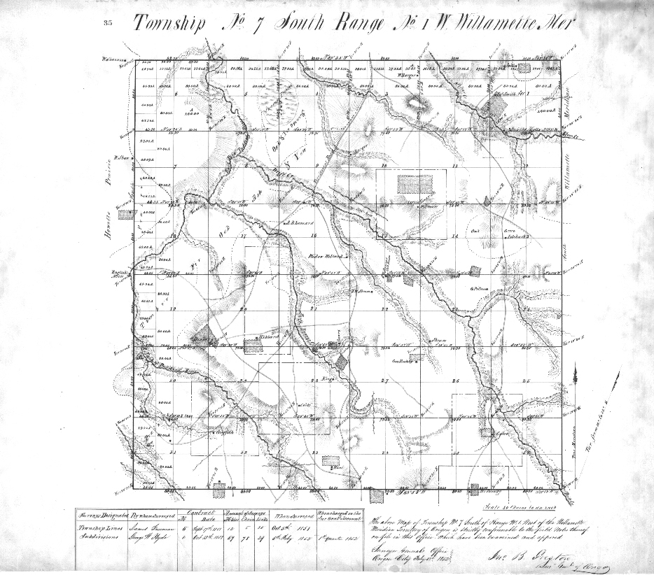
![1851 cadastral map of T7S, R1W, includes the northwest portion of Waldo Hills, with Silverton at northern boundary.]()
Original cadastral survey map of Township 7S Range 1W.
1851 cadastral map of T7S, R1W, includes the northwest portion of Waldo Hills, with Silverton at northern boundary. Courtesy US Department of Interior Bureau of Land Management Land Status and Cadastral Survey Records
-
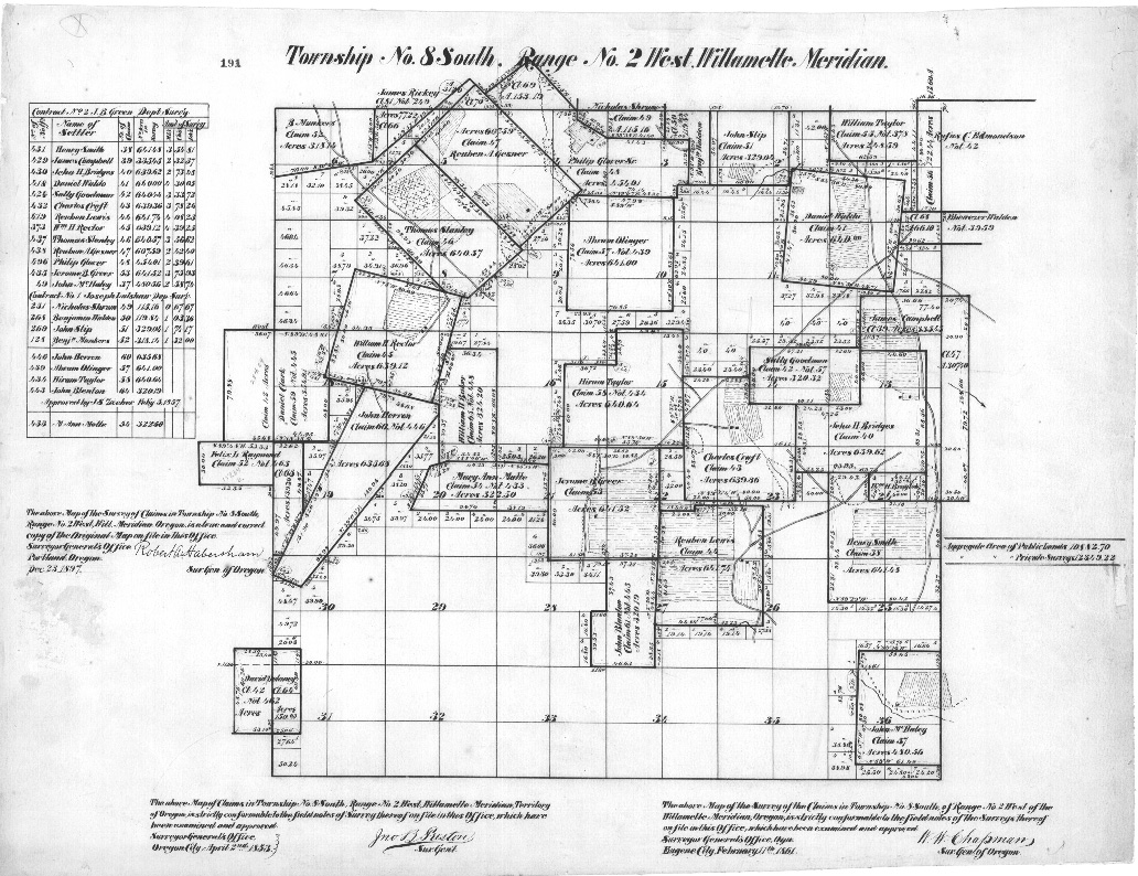
![Original plat map for Township 8S Range 1W, 1851, showing Daniel Waldo's claim in the northeast corner, oriented to magnetic north]()
Original plat map for Township 8S Range 1W, 1851.
Original plat map for Township 8S Range 1W, 1851, showing Daniel Waldo's claim in the northeast corner, oriented to magnetic north Courtesy US Department of Interior Bureau of Land Management Land Status and Cadastral Survey Records
-
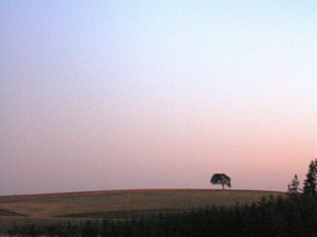
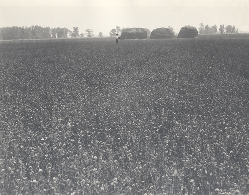
![Hilltop grass seed field with remnant Oregon white oak, Waldo Hills, 2008.]()
Hilltop grass seed field with remnant Oregon white oak, Waldo Hills, 2008..
Hilltop grass seed field with remnant Oregon white oak, Waldo Hills, 2008. Courtesy Paul Schweickert
-
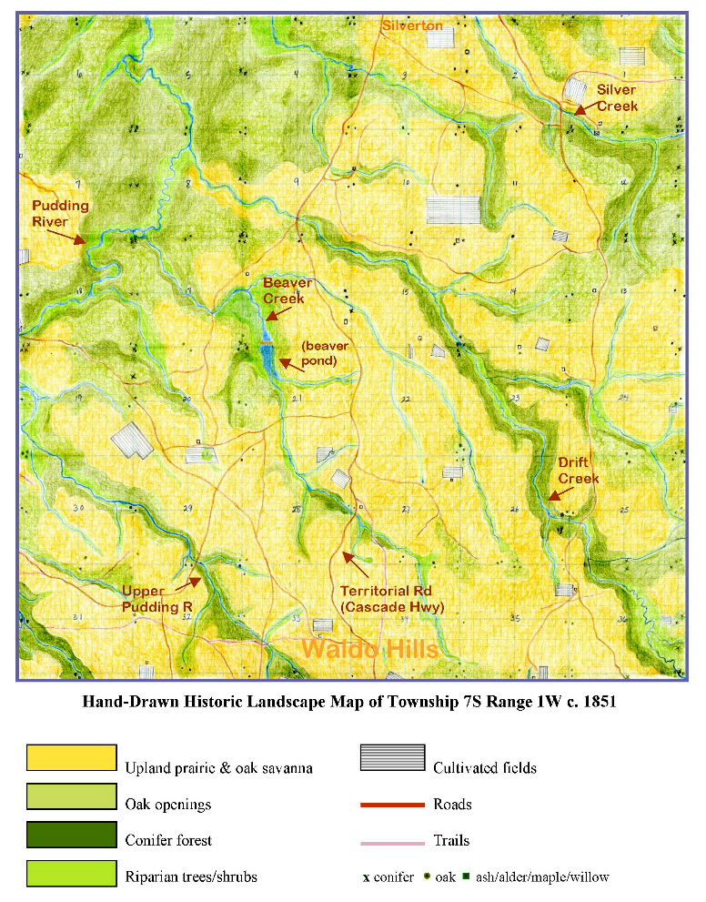
![Map representing 1851 vegetation of T7S, R1W, based on survey records, topographical maps, and ecological studies, 2009.]()
Map representing 1851 vegetation of T7S, R1W,.
Map representing 1851 vegetation of T7S, R1W, based on survey records, topographical maps, and ecological studies, 2009. Courtesy Tina K. Schweickert
-
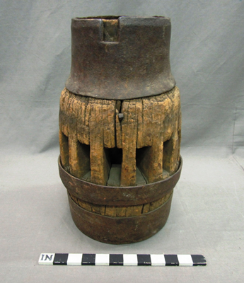
![Remnant of a wagon brought across the plains to Oregon by the donor's father, Daniel Waldo, in 1843. Made in Montana. Donated by John B. Waldo in 1900.]()
Wagon wheel hub, 1843..
Remnant of a wagon brought across the plains to Oregon by the donor's father, Daniel Waldo, in 1843. Made in Montana. Donated by John B. Waldo in 1900. Oregon Historical Society Museum Collection, 40.
-
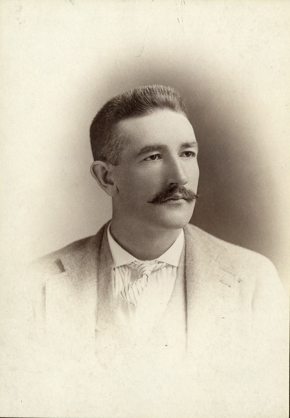
![]()
Daniel Waldo, Cartes-de-Visite photograph.
Oregon Historical Society Research Library, Digital Collections, Cartes-de-visite collection; Box 8, A-193

Related Entries
-
![Grass seed industry]()
Grass seed industry
The Willamette Valley, with its temperate climate, wet winters, and ari…
-
![Homer Davenport (1867-1912)]()
Homer Davenport (1867-1912)
Homer Calvin Davenport was one of the most important and influential po…
-
![Indian Use of Fire in Early Oregon]()
Indian Use of Fire in Early Oregon
Anthropogenic (human-caused) fire was a major component of the Native s…
-
![John B. Waldo (1844-1907)]()
John B. Waldo (1844-1907)
John Breckenridge Waldo was the first Oregon Supreme Court chief justic…
-
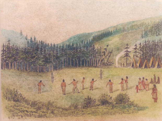
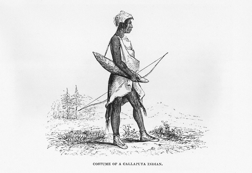
![Kalapuya Man Drawing]()
Kalapuya Man Drawing
Costume of a Callapuya Indian, also known as Kalapuya Man, is one of th…
-
![Kalapuyan peoples]()
Kalapuyan peoples
The name Kalapuya (kǎlə poo´ yu), also appearing in the modern geograph…
-
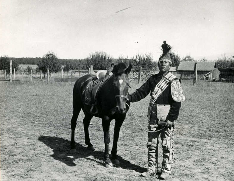
![Molalla Peoples]()
Molalla Peoples
The name Molalla ([moˈlɑlə, ˈmolɑlə], usually spelled Molala by anthrop…
-
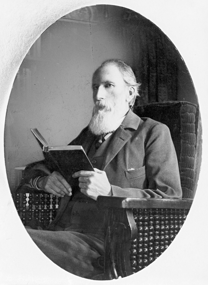
![Timothy Woodbridge Davenport (1826-1911)]()
Timothy Woodbridge Davenport (1826-1911)
Timothy Woodbridge “T. W.” Davenport, known as the Sage of Silverton, w…
Related Historical Records
Map This on the Oregon History WayFinder
The Oregon History Wayfinder is an interactive map that identifies significant places, people, and events in Oregon history.
Further Reading
Boag, Peter C. Environment and Experience: Settlement Culture in Nineteenth-Century Oregon. Berkeley: University of California Press, 1992.
Boyd, Robert, ed. Indians, Fire and the Land in the Pacific Northwest. Corvallis, OR: Oregon State University Press, 1999.
Down, Robert H. History of the Silverton Country. Portland, Ore.: Berncliff Press, 1926.
Mackey, Harold. The Kalapuyans: A Source book on the Indians of the Willamette Valley. Salem, Ore.: Mission Mill Museum Association, Inc. and the Confederated Tribes of the Grand Ronde, 2004.