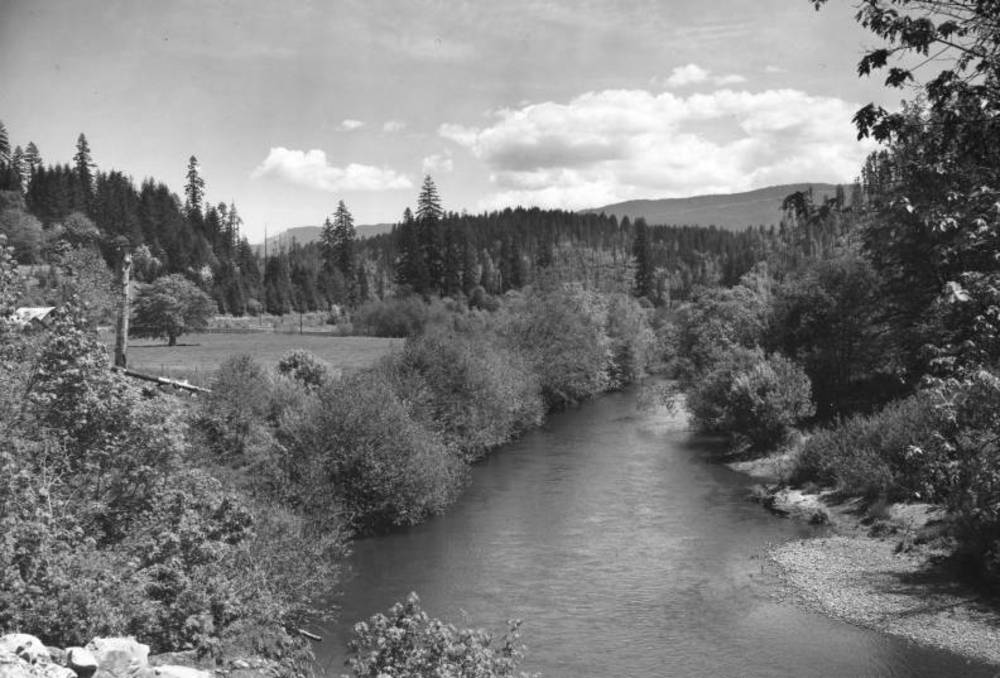
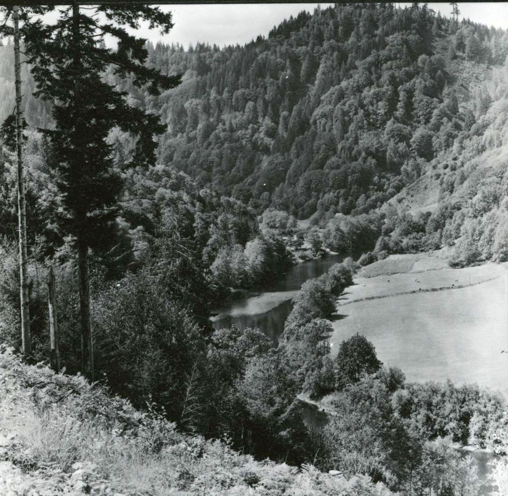
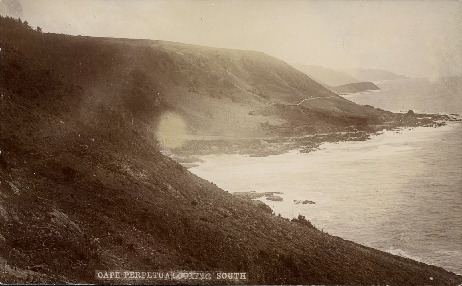
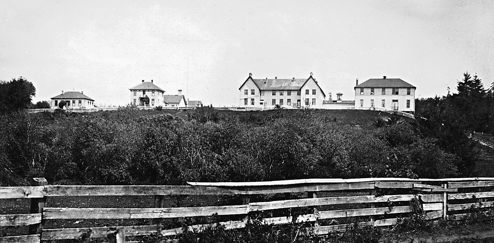
Yachats (pronounced YAH-hots) is a small resort town on the northern flank of Cape Perpetua, perched above a rocky shoreline and the crashing surf of the Pacific Ocean. Located at the mouth of the Yachats River, the town’s scenic qualities were long appreciated, but until the completion of the Oregon Coast Highway in 1936 it was an isolated area with a few subsistence farms and summer cabins.
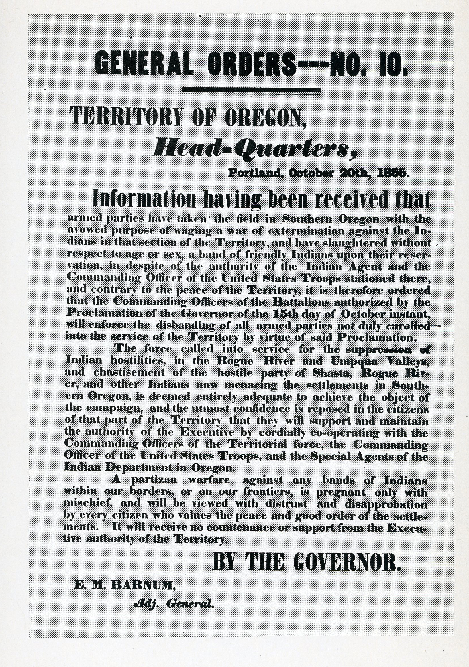
Before white settlers entered the Yachats area in the 1880s, it was populated by the Alsea people, who lived in an environment that provided mussels, salmon, and smelt from the sea and elk, camas, berries, and nuts from the land. Early in the nineteenth century, according to several accounts, Alsea villages were decimated by smallpox and other introduced diseases. As a result, very few native residents remained in 1855 when the Coast Indian Reservation was established, chiefly as a place to relocate Indians who had been forced from their lands in southern Oregon by gold miners and the Rogue River Wars of 1855–1856.
In 1859, a subagency was established near the Yachats River to oversee a small contingent of relocated Indians. By 1875, the Coast Reservation had been reduced, the subagency closed, and the land opened to white settlers. Few came, and the windswept coastline at Yachats remained mostly unsettled, its rock, clay, and salt air not well suited to agriculture. There were, however, some productive agricultural lands several miles up the Yachats River, where both white and Indian families settled in the 1880s.
A post office, prosaically named Ocean View, was established about a mile north of the river mouth in 1887, only to be discontinued in 1893. It was re-established a few years later and moved south. In 1916, Ocean View was re-named Yachats, a descriptive term for the area from the Alsea people, dubiously translated as “at the foot of the mountain.” A variety of spellings of the name were used during the nineteenth century, including Yahute and Yahutes, Yahuts, Yahuch, and Yachaats.
In 1912, the West Coast Construction Company filed a plat for a prospective resort town they named Yahutes-by-the-Sea. Portland real estate salesman William J. Wilsey actively promoted the townsite in 1913, boasting that the area was replete with clams, crabs, and rock oysters and that “fishing from the rocks for bass, cod, sea trout, groupers, flounders, and many other kinds of fish is very exciting, pleasant and exhilarating.” Gathering agates and photographing elk were also touted as local entertainments. Wilsey’s ads boasted that access to the town for summer visitors would soon be much easier, as a railroad line was being surveyed along the coast.
It was an empty promise. No railroad arrived, nor did any road yet connect Yachats with the Willamette Valley. The sale of resort lots was stagnant, and the town plat was vacated in 1917 after the development company failed to pay delinquent taxes. Another and less ambitious Yachats townsite was platted in 1923, and by 1925 the state highway map showed a rudimentary unpaved road up the Yachats River leading to the Alsea and Willamette Valleys.
By 1929, a gravel road led from the Willamette Valley directly down the Alsea River to Waldport, where a drive along the beach led to Yachats. At last, the town was poised to realize its ambitions as a scenic seaside resort. The scattered beach cabins and lodging houses coalesced around a log cabin church, which opened in 1930. The church is now a community museum and a town landmark.
Beulah’s Sea View Inn, overlooking the mouth of the Yachats River, was opened in about 1934 by Beulah Swigert, noted for her chicken and dumplings. From the mid-1960s, the inn grew into an entertainment venue that drew traveling rock and soul bands and gay drag shows that brought visitors from Eugene and Portland. In the 1990s, the Sea View faded while the town blossomed; the inn closed in 2011 and was demolished in 2018.
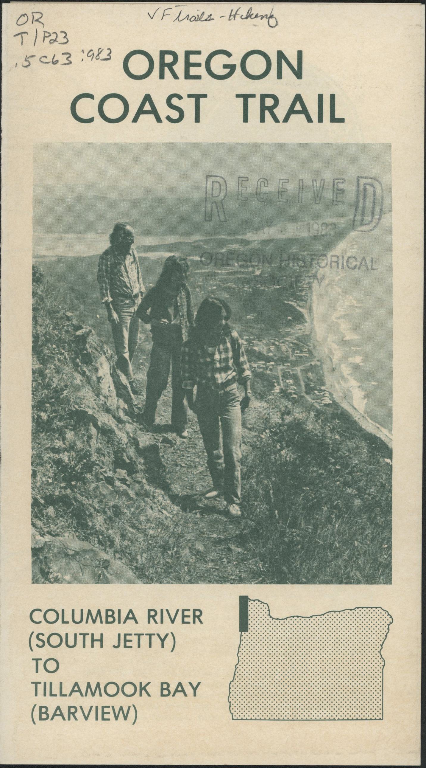
The Adobe Motel, constructed of locally made adobe bricks by Larry Smith and his family, opened in 1952 and was the forerunner of several resort-style lodgings in Yachats. The Adobe fronts on the 804 Trail, which was created in the 1990s as a result of a right-of-way dispute over a historic travel route and is now a part of the Oregon Coast Trail. The 804 Trail was the inspiration for creating other trails that now radiate from the town, including Amanda’s Trail, which leads south into the Siuslaw National Forest and climbs to the crest of Cape Perpetua. The trail is named for a blind, elderly Coos woman, Amanda De Cuys, who in 1864 was forcibly marched over the headland to an unknown fate at the Yachats subagency.
Yachats was incorporated in 1967, and the 1970 census gave it a population of 441. That figure was 690 at the 2010 census, and reached an estimated 1,010 in 2021. Never a site of any industrial activity, Yachats has been a vacation and retirement community since the 1920s. It is now noted for several annual festivals celebrating mushrooms, Celtic music, and agates. Most notable, however, is its distinctive location on a rocky and forested seashore at the mouth of a sparkling river.
-
![]()
A view of Yachats from the top of Mount Yachats, c. 1920s.
Oregon Historical Society Research Library, OrgLot19_B2_004 -
![]()
Clinton's Cottages, Yachats, Oregon.
Oregon Historical Society Research Library, 983D074, photo file 1139
-
![]()
"Yahutes-By-The-Sea," postcard of Yachats, Oregon.
Courtesy Richard Engeman
-
![]()
Tourist map of Yachats, Oregon.
Oregon Historical Society Research Library, 18998, photo file 1139
-
![]()
Fishing at Yachats.
Oregon Historical Society Research Library, acc28125 photo file 1139
-
![]()
Little Log Church (now Museum), Yachats.
Oregon Historical Society Research Library, photo file 1139
-
![]()
Two women stand in front of a building in Yachats, c. 1920s.
Oregon Historical Society Research Library, OrgLot19_B2_060
Related Entries
-
![Alsea River]()
Alsea River
The Alsea River originates in creeks flowing from the west side of Mary…
-
![Alsea Subagency of Siletz Reservation]()
Alsea Subagency of Siletz Reservation
In September 1856, Joel Palmer, the Superintendent of Indian Affairs fo…
-
![Cape Perpetua]()
Cape Perpetua
Cape Perpetua juts into the Pacific Ocean about two miles south of Yach…
-
Coast Indian Reservation
Beginning in 1853, Superintendent of Indian Affairs Joel Palmer negotia…
-
![Oregon Coast Trail]()
Oregon Coast Trail
Winding for 382 miles along the Oregon Coast, the Oregon Coast Trail is…
-
![Rogue River War of 1855-1856]()
Rogue River War of 1855-1856
The final Rogue River War began early on the morning of October 8, 1855…
Related Historical Records
Map This on the Oregon History WayFinder
The Oregon History Wayfinder is an interactive map that identifies significant places, people, and events in Oregon history.
Further Reading
Kittel, Joanne, and Suzanne Curtis. The Yachats Indians, Origins of the Yachats Name, and the Prison Camp Years. Yachats Ore. : Privately published, 1996, revised 2010.
Hays, Marjorie Hays. The Land that Kept its Promise : a History of South Lincoln County. Newport Ore : Lincoln County Historical Society, 1976.


