Cascadia Cave, near the South Santiam River, is one of the most significant cultural resources of the Indigenous peoples of the Cascade Mountains and the Willamette Valley. The cave, which is actually a shallow rock shelter, has a pronounced overhang that offers shelter from the weather. It is a spiritual place for the Santiam Band of the Kalapuya and Molala people.
Cascadia Cave is a few miles east of the unincorporated Cascadia community, established in 1892, and adjacent to Cascadia State Park and the Sweet Home Ranger District of the Willamette National Forest. The site of the rock shelter is owned by the Louis W. Hill family of Minnesotaand managed by Cascade Timber Consulting.
The cave is a spiritual location where Indigenous peoples, mainly the Molala and Santiam Kalapuya, would gather their spirit power to fish for salmon. Dozens of petroglyphs represent significant events in the lives of the ancestors, including bear-claw marks that indicate that the shelter is a place of Bear power. Bears are good fishers for the salmon that travel up the Willamette River to spawn in the sandy soils of the South Santiam. Nearby, several small river cascades and overhanging rocks in the river canyon create primary places to catch salmon.
The rock shelter sits along a historic Indian trail that accessed the Lost Lake and Lost Prairie region of the Cascades and connected with other Indian trails. It and the other caves, lakes, and prairies along the Indian trail provided shelter for people traveling to seasonal berry-gathering locations in the mountains and to central Oregon, where they would trade.
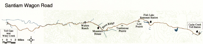
Newcomer settlers in the mid-nineteenth century discovered Cascadia Cave as they traveled the Indian trail, which became the Santiam Wagon Road in 1865 as a trade and military route from the Willamette Valley to central Oregon. Part of the footprint for the road is now U.S. Highway 20. The earliest excavations were by vandal looters, who sold most of their findings of spear points, stone tools, and arrowheads into the curio market. As a result, most of the early collections of such artifacts are unaccounted for.
Beginning in the 1930s, archaeologists who researched the cave uncovered a great number of artifacts, including debitage (waste flakes from the making of chipped-stone tools) of obsidian, quartz, and chert. Dr. Luther Cressman of the University of Oregon’s Department of Anthropology was the first to conduct professional archaeology on the site in 1937. Extensive research occurred in the 1960s and 1970s, and more recent study (1981) has suggested that human activity at the site dates to the Early to Middle Archaic period of the Cascadia Phase. The cave has likely supported human activity for at least 7,900 years.
Decades of archaeological investigations and active illegal looting have nearly destroyed the petroglyphs at Cascadia Cave. The cave was once a haven against the rain, but the floor has lost several meters and has mounded so that water drains into the cave, pooling near the walls. With the increased moisture, fungi and algae are quickly destroying the art on the cave’s wall. Several individuals carved their initials in the walls, and others painted the petroglyphs to make them stand out. Still further damage has been done by people touching and taking rubbings of the petroglyphs. The destructive actions of visitors have caused massive scaling of the walls, and the overhang and many of the petroglyphs are completely gone.
For several decades, the Confederated Tribes of Grand Ronde and other tribes, along with the Willamette National Forest and local governments, worked to bring the cave under state or federal trusteeship. There is currently a coordinated plan to acquire the property from the Hill family and to bring the cave under public protection.
Cascadia Cave was listed on the National Register of Historic Places in 1990. The Hill family allows the Sweet Home Ranger District to lead tours to the site, aided by local tribes, and visitors are asked to not touch the cave or to dig for artifacts.
-
![]()
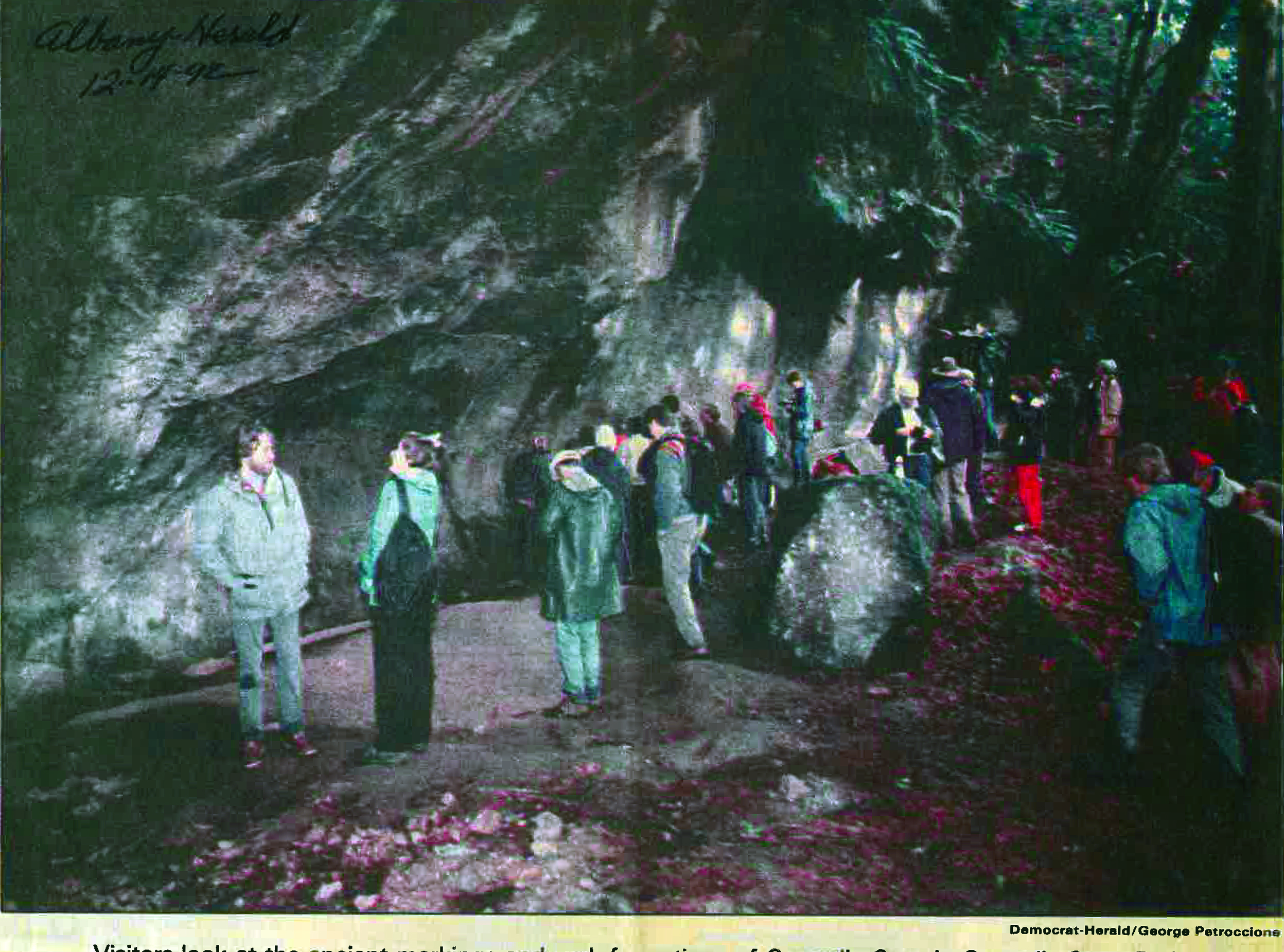
Cascadia Cave, from the Albany Herald, December 14, 1992.
Oregon Historical Society Research Library, vertical files
-
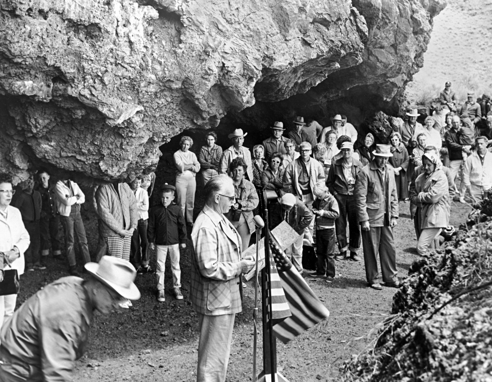
![]()
Cascadia Cave markings.
Courtesy 46percent, public domain -
![]()
South Santiam River, near Cascadia.
Oregon Historical Society Research Library, OrgLot1275_B3_Christian_S-148A


Related Entries
-
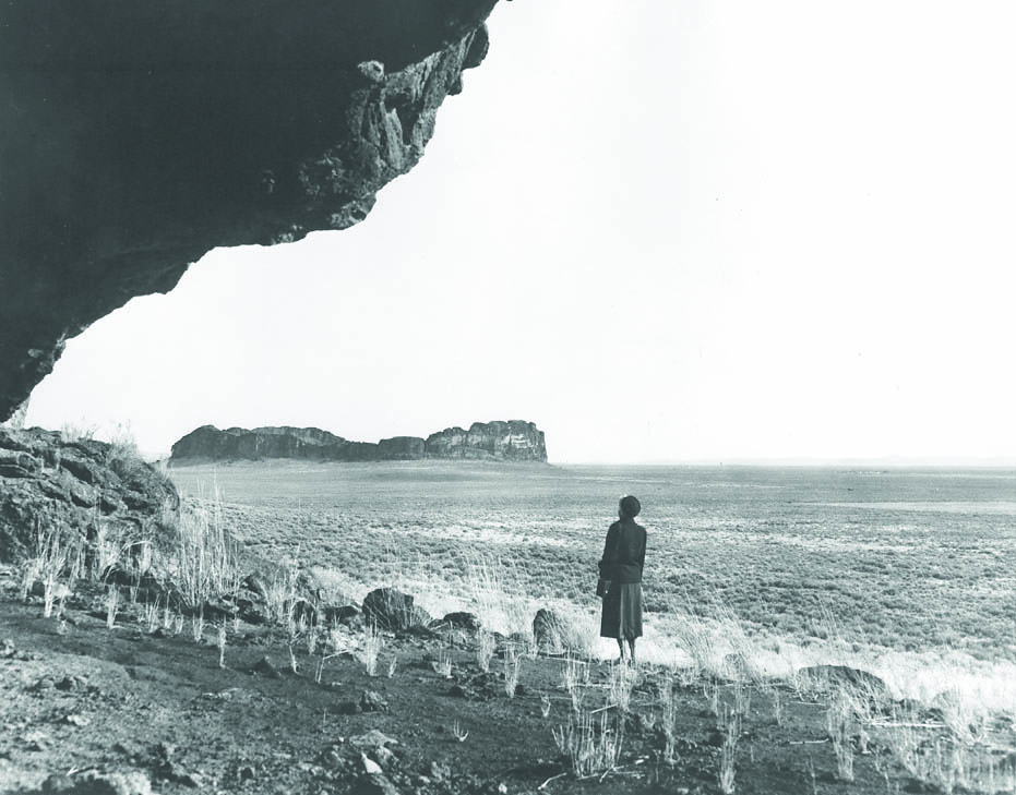
![Fort Rock Cave]()
Fort Rock Cave
Fort Rock Cave is located in a small volcanic butte approximately half …
-
![Kalapuyan peoples]()
Kalapuyan peoples
The name Kalapuya (kǎlə poo´ yu), also appearing in the modern geograph…
-
![Luther Cressman (1897-1994)]()
Luther Cressman (1897-1994)
Known as the father of Oregon archaeology and anthropology, Luther Cres…
-
![Santiam Wagon Road]()
Santiam Wagon Road
The Santiam Wagon Road was a vital commercial link connecting the Willa…
Related Historical Records
Map This on the Oregon History WayFinder
The Oregon History Wayfinder is an interactive map that identifies significant places, people, and events in Oregon history.
Further Reading
"Willamette National Forest." U.S. Forest Service. Available online.
Beckham, S.D., R. Minor, and K.A. Toepel. Prehistory and History of BLM Lands in West-Central Oregon: A Cultural Resource Overview. Eugene: University of Oregon Press, 1981.
Gilsen, Leland. "Holocene Adaptation." Oregon-Archaeology.com. http://www.oregon-archaeology.com/archaeology/oregon/holocene.php
Paul, Alex. "Coalition wants to buy Cascadia Cave heritage site." Albany Democrat-Herald. May 30, 2012. http://democratherald.com/business/local/coalition-wants-to-buy-cascadia-cave-heritage-site/article_ec772030-aa6d-11e1-840b-0019bb2963f4.html