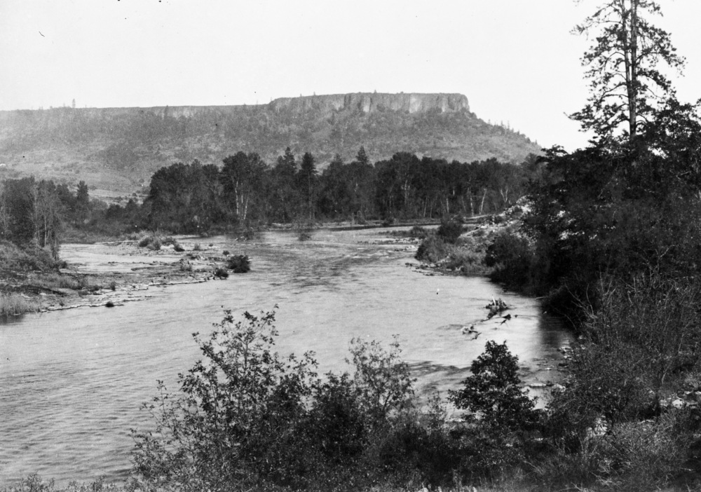
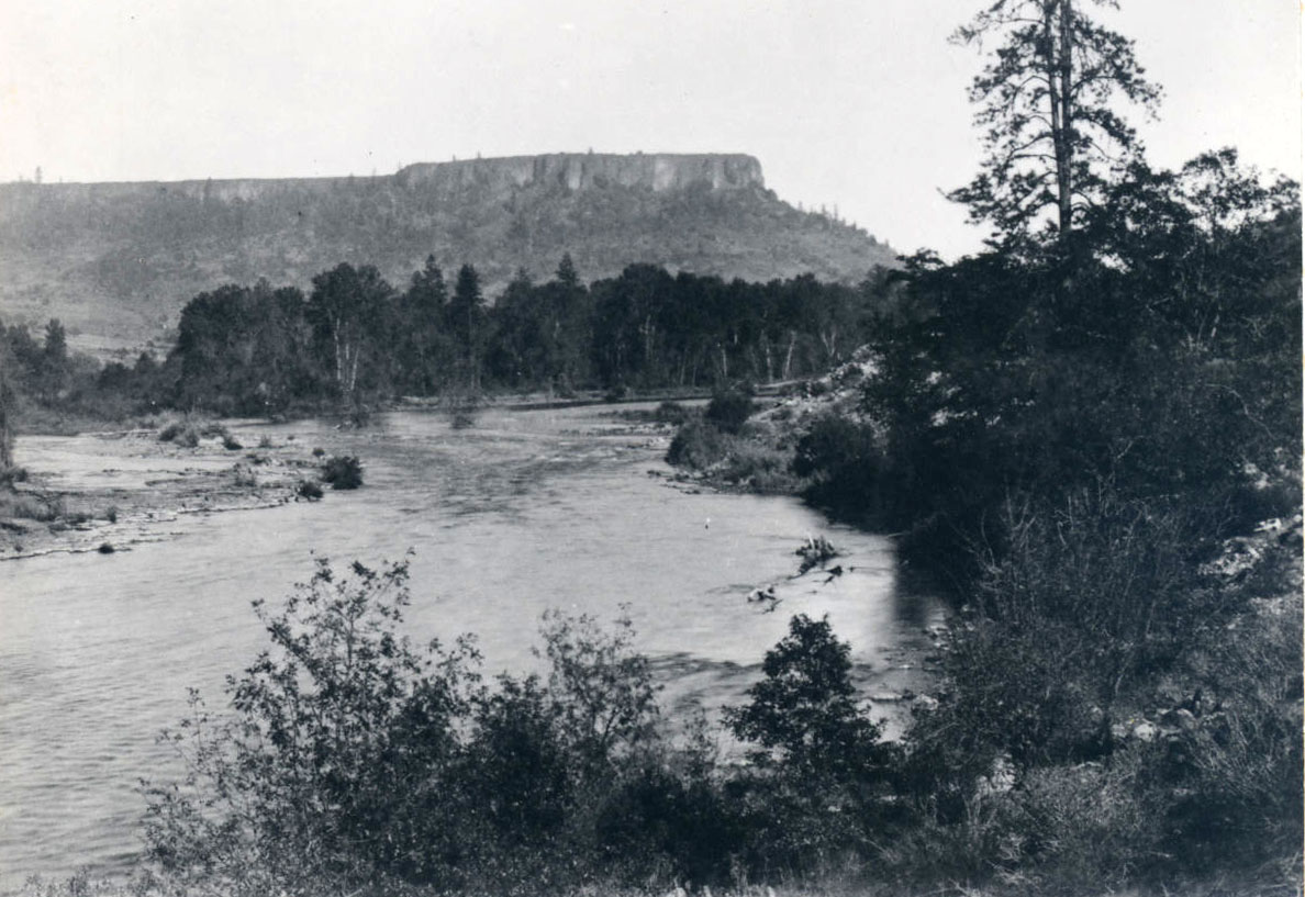
Fort Lane was a United States military fort constructed following the signing of the Table Rock Treaty on September 10, 1853. The treaty established the short-lived Table Rock Reservation in the interior Rogue Valley.
White settlement had accelerated in southern Oregon following the discovery of gold in the region in 1850, and clashes between Takelma, Latgawa, Shasta, and Athabaskan people and gold miners and white settlers were frequent. Violence accelerated in the late summer of 1853, prompting former Oregon Territorial Governor Joseph Lane and Joel Palmer, Oregon superintendent of Indian affairs, to negotiate what became known as the Table Rock Treaty.
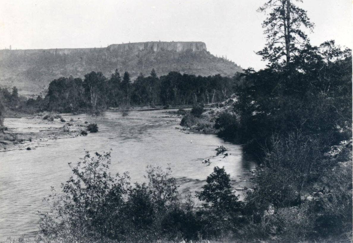
The reservation—the first in the Pacific Northwest—encompassed Table Rock and ran along the north side of the Rogue River, from Evans Creek to Little Butte Creek and north to the Umpqua River–Rogue River divide. Fort Lane, located on the south bank of the Rogue River, was occupied by two companies of the U.S. Army’s 1st Dragoons under the command of Captain Andrew J. Smith.
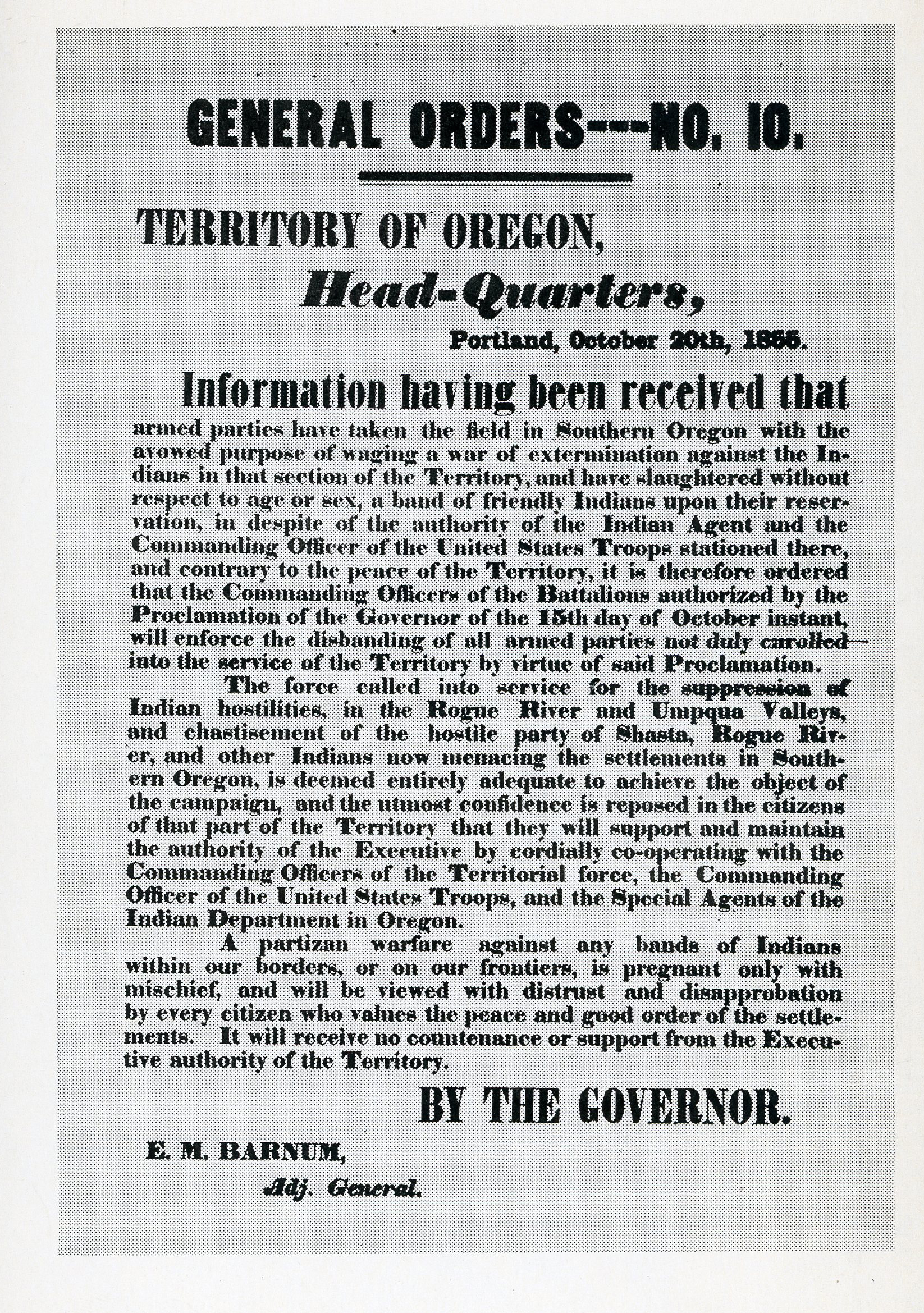
During 1854 and the first months of 1855, the officers at Fort Lane attempted to keep the peace in southern Oregon. In the fall of 1855, tensions exploded following the destruction of a Native village and the massacre of its inhabitants by a citizen militia led by James Lupton, who had recently been elected southwest Oregon’s first representative to the territorial legislature. In the aftermath, some Native people gathered at Fort Lane for protection, trusting to the agreements of the Table Rock Treaty. Others chose to declare war on the white intruders.
Under the leadership of Tecumtum (Chief John), Cholcultah (Chief George), and Lympe, many Indians proceeded down the Rogue River, burning cabins and killing white settlers. Under pressure from Oregon citizens and the territorial government, Joel Palmer and General John Wool, the commander of the Army of the West, ordered their subordinates to round up the Indians in southwest Oregon for removal to the Grand Ronde and Siletz Agencies on the Coast Reservation, which was being established on the northern Oregon coast.
During the winter and spring of 1855-1856, the U.S. Army and federal Indian agents used Fort Lane and Fort Orford to prosecute this final phase of the Rogue River Wars. Native people were confined to the military reservations after either surrendering or being captured in battle. Beginning in January 1856, the military marched hundreds of people from Fort Lane over the Oregon California Trail to Grand Ronde or shipped them by steamer from Fort Orford to the Coast Reservation. Removal was mostly completed following the surrender of Tecumtum at the Big Bend of the Rogue River that May.
By the fall of 1856, Fort Lane had been abandoned, and the majority of Indian people had been removed from southern Oregon. Their descendants are among the members of today's Confederated Tribes of Siletz and Confederated Tribes of Grand Ronde.
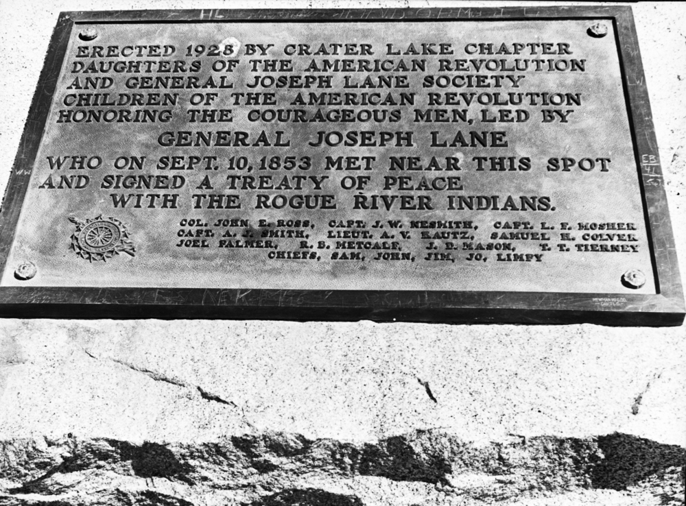
The first effort to commemorate Fort Lane was in 1929, when the Daughters of the American Revolution—reportedly using stones from the ruins of the fort buildings—erected a large monument at the site. Beginning in the 1970s, Jackson County Surveyor Tom Newcomb mapped the remains of the fort that were still visible. In 1987, through the efforts of the Southern Oregon Historical Society, Jackson County obtained the property, and historian Kay Atwood nominated Fort Lane to the National Register of Historic Places.
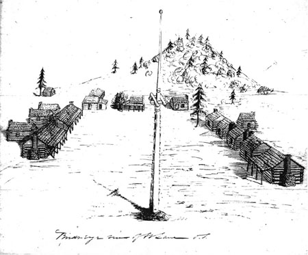
In 2004, the Southern Oregon University Laboratory of Anthropology (SOULA) began a long-term archival and archaeological research project at the fort, identifying the remains of the officers’ kitchen, the enlisted men’s kitchen, an officer’s cabin, and other features. They determined that the buildings had been constructed of fir logs set on granite piers with clapboard shake roofs, plank floors, and porches. The fireplaces had been built of granite stones with brick chimneys.
Thousands of artifacts have been recovered from the site, including cut iron nails, standardized metal buttons, lead shot, percussion caps, bottle glass, glass beads, military insignia, and an 1854 silver quarter carved into a spur. Researchers also found French cologne in the officers’ quarters and a ceramic hair pomade jar in an enlisted men’s cabin.
The Fort Lane site is now owned by the State of Oregon and is administered by the Oregon Parks and Recreation Department as a State Heritage Site.
-
![Plaque commemorating treaty signing near Fort Lane, present day Camp White, Jackson County, Aug. 1942.]()
Rogue River Treaty plaque, bb004075.
Plaque commemorating treaty signing near Fort Lane, present day Camp White, Jackson County, Aug. 1942. Oreg. Hist. Soc. Research Lib., bb004075
-
![Sketch of Fort Lane plan]()
Sketch of Fort Lane plan.
Sketch of Fort Lane plan Courtesy U.S. National Archives
Related Entries
-
![Rogue River War of 1855-1856]()
Rogue River War of 1855-1856
The final Rogue River War began early on the morning of October 8, 1855…
-
![Table Rocks]()
Table Rocks
The Table Rocks, two large mesas north of Medford, rise nearly 800 feet…
-
![Table Rock Treaty of 1853]()
Table Rock Treaty of 1853
The Council of Table Rock brought a temporary peace between Indigenous …
-
![Willamette Valley Treaties]()
Willamette Valley Treaties
From 1848 to 1855, the United States made several treaties with the tri…
Related Historical Records
Map This on the Oregon History WayFinder
The Oregon History Wayfinder is an interactive map that identifies significant places, people, and events in Oregon history.
Further Reading
Frazer, Robert W., ed. Mansfield on the Conditions of the Western Fronts. Norman: University of Oklahoma Press, 1963.
Tveskov, Mark A., and Amie Cohen, 2012. "Ambiguity and Manifest Destiny: The Changing Role of Fort Lane in the Cultural Landscape of the Oregon Territory, 1853-2007." In From the Margins, The Archaeology of the Colonized and its Contribution to Global Archaeological Theory. Oxford: Oxford University Press, 2012.

