Willamette Pass, a 5,128-foot-high mountain pass in the Cascade Range, has been an important transportation route between the Willamette Valley and central Oregon for over 150 years. At least three crossings of the Cascades have carried the Willamette Pass name, each in a slightly different location. The confusion over the route was settled in 1960 when the Oregon Geographic Names Board applied the name to the current route; the U.S. Board on Geographic Names concurred the following year.
One of the earliest efforts to find a pass over the central Cascades occurred in the 1850s. White settlers wanted to find a southern route from Fort Hall to the Willamette Valley to save time and miles and to avoid the dangerous trip down the Columbia River to Fort Vancouver. In early 1852, several residents of Linn and Lane Counties petitioned the Oregon Territorial Legislature to search for a wagon road over the Cascades at the headwaters of the Willamette River. Seven settlers agreed to scout a route over the mountains and across central Oregon to the Snake River at the Idaho state line. In July, William Macy and John Diamond slowly worked their way up the upper valley, climbed a mountain they called Diamond Peak, and found a pass now called Emigrant Pass. But this is not the current Willamette Pass.
The first recorded trip over the central Cascades by wagon was in the fall of 1853. Near present-day Vale, around 67 wagons and perhaps as many as 1,000 people turned almost directly westward to follow the earlier Meek trail. While struggling through the high desert near Malheur Lake, the party confused the Three Sisters with Diamond Peak and spent nearly three weeks looking for a shortcut over the Cascades. Other wagons took the shortcut as well. As many as 250 wagons, poised to cross the Cascades about ten miles south of the present-day Willamette Pass, crossed near Diamond Peak; but many had to abandon their wagons and proceed on foot. Several men rode ahead and raised a relief party. The wagon train became known as the Lost Wagon Train of 1853.
In 1864, Bynon J. Pengra organized the Central Oregon Military Wagon Road Company based in Eugene City and claimed a land grant of more than 875,000 acres, of which only 235,500 acres were actually given to the company. The route, scouted by Pengra and William Odell (Odell Lake is named for him), headed up the valley from Eugene to Oakridge, then turned south along the Willamette River. They crossed the Cascades several miles south of the present-day Willamette Pass, before traveling south toward Klamath Falls and then eastward toward Boise. The first automobile to cross on this route, called Emigrant Pass since 1961, was in 1911. Billy Williams, his wife, and two dogs drove over the Cascades on the military wagon road in a 1910 Buick. It took these intrepid Dexter residents a month to cross the summit.
In 1909, the Southern Pacific began building a railroad line over the mountain from Natron (near Springfield) to Klamath Falls. Construction was halted at Oakridge from 1912 to 1923 and crossed the Cascades several miles south of the present-day Willamette Pass. When the railroad opened in 1927, the railroad crossing was named Pengra Pass.
The Willamette Pass Ski Area opened on Willamette Pass in 1941 with a T-bar and several rope tows under a Forest Service special-use permit. The ski area has one of the steepest downhill ski runs in the world and is famous for speed skiing.
The Willamette Pass highway crosses the Cascades at Willamette Pass, but from Oakridge the highway cuts along Salt Creek to the summit, bypassing the old military wagon route farther south. It was designated as Highway 58 in 1932 and became the principal route for truck and car travel between Eugene and California. The official opening for the new highway was in July 1940. When Interstate 5 was completed in the 1960s, the main highway traffic shifted back to the west side of the Cascades.
-
![]()
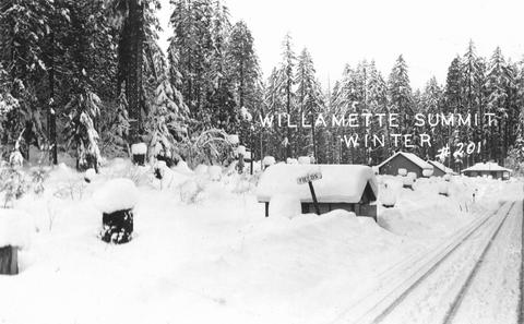
Willamette Pass summit in winter, 1950.
Courtesy Gerald W. Williams Collection, Oregon State University. "Willamette Pass summit in winter" Oregon Digital -
![]()
Tunnel on Willamette Pass Highway, c.1940.
Courtesy Gerald W. Williams Collection, Oregon State University. "Tunnel on Willamette Pass" Oregon Digital -
![]()
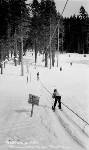
Willamette Pass ski area, c.1940.
Courtesy Gerald W. Williams Collection, Oregon State University. "Willamette Pass ski area" Oregon Digital -
![]()
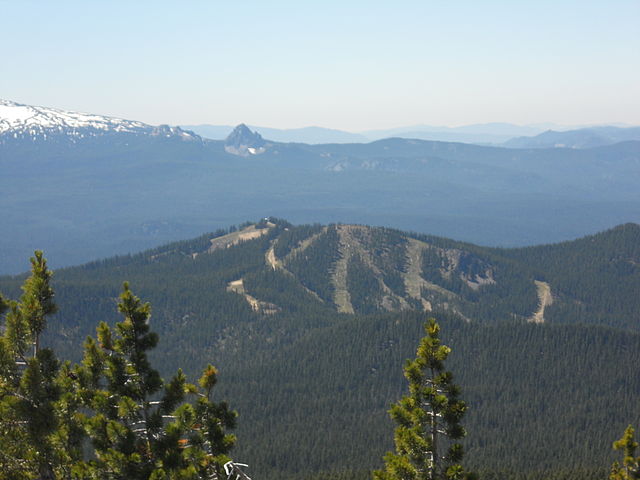
Willamette Pass Ski Area, 2006.
Courtesy Snowsnapper, Wikimedia Commons
-
![]()
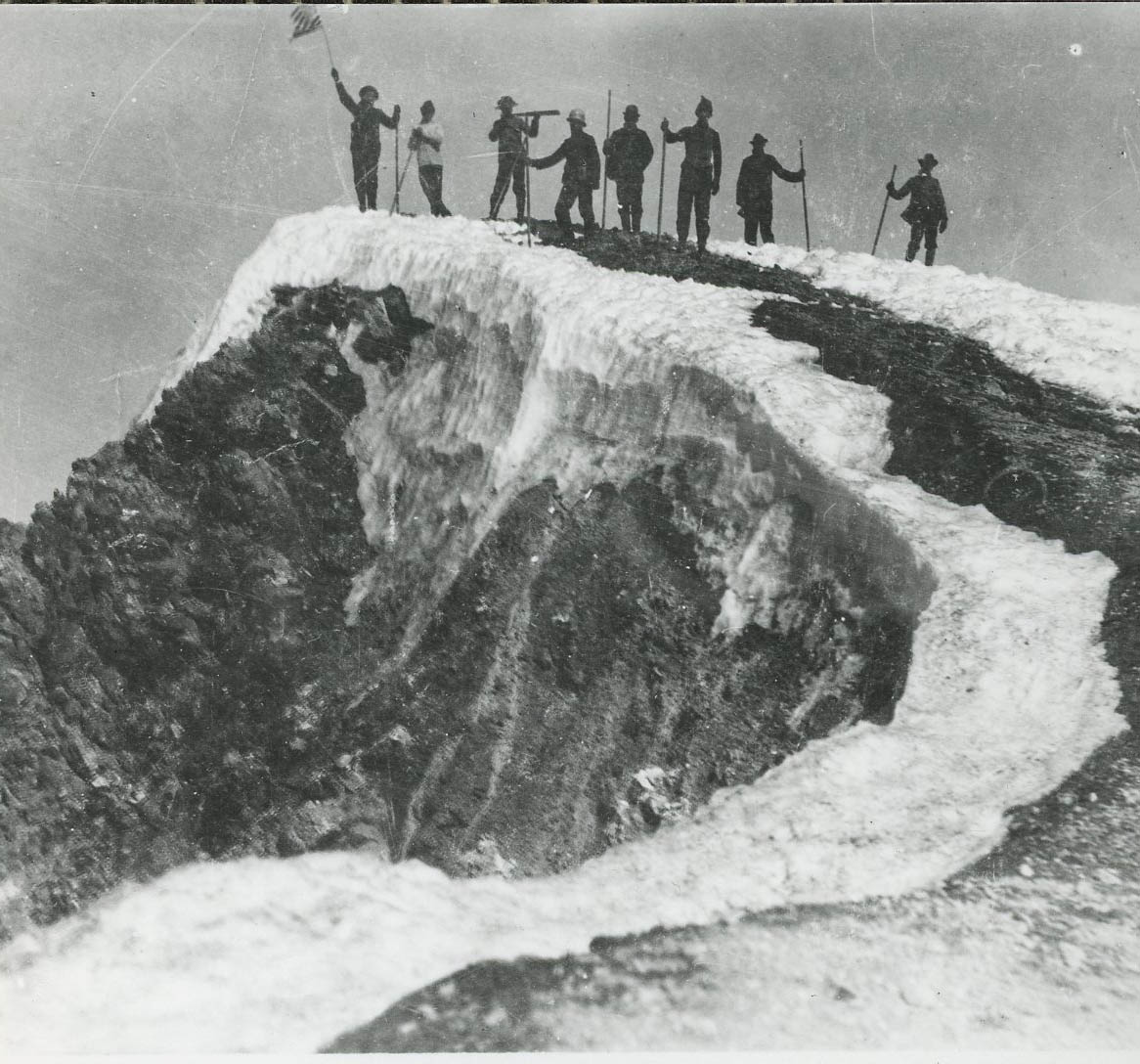
Willamette Pass taken from Maiden Peak, 2011.
Courtesy Jsayre64, Wikimedia Commons


Related Entries
-
![Cascade Mountain Range in Oregon]()
Cascade Mountain Range in Oregon
The Cascade mountain system extends from northern California to central…
-
![McKenzie Pass]()
McKenzie Pass
The McKenzie Pass summit, named for the McKenzie River, is located on t…
-
![Santiam Pass]()
Santiam Pass
Santiam Pass, at an elevation of 4,817 feet, is a major highway crossin…
-
![Santiam Wagon Road]()
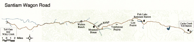
Santiam Wagon Road
The Santiam Wagon Road was a vital commercial link connecting the Willa…
-
![Siskiyou Pass]()
Siskiyou Pass
Siskiyou Pass, including the 4,310-foot-high Siskiyou Summit of Interst…
-
![Willamette River]()
Willamette River
The Willamette River and its extensive drainage basin lie in the greate…
-
![Willamette Valley]()
Willamette Valley
The Willamette Valley, bounded on the west by the Coast Range and on th…


Map This on the Oregon History WayFinder
The Oregon History Wayfinder is an interactive map that identifies significant places, people, and events in Oregon history.
Further Reading
Beckham, Stephen Dow. The Oregon Central Military Wagon Road: A History and Reconnaissance. Heritage Associates Report 61, vols. I and II. Eugene, Ore.: Willamette National Forest, 1981.
McArthur, Lewis A. and Lewis L. McArthur. Oregon Geographic Names. (7th ed). Portland: Oregon Historical Society Press, 2003.
Menefee, Leah Collins, Donald F. Menefee, and Kenneth Munford. “The Free Emigrant Road Over Willamette Pass.” Benton County Historical Society and Museum.