The River
For more than ten millennia, the Columbia River has been the most important and intensively used part of Oregon’s natural landscape. The river’s main stem gathers water from ten principal tributaries that drain 259,000 square miles in seven U.S. states and one Canadian province.
In Oregon, the largest tributaries are the Snake, Willamette, Deschutes, John Day, and Umatilla Rivers. Each arises in mountainous terrain and carries significant minerals in suspension to create alluvial valleys, notably the Willamette, one of the most fertile regions in western North America.
Because high mountain glaciers and annual snowpack feed the Columbia, the main stem flushes an enormous volume of water, especially during the spring thaw, making it the fourth largest in flow among North American rivers. Its annual average discharge is 198 million acre-feet of water, with the highest volumes occurring between April and September, the lowest from December to March.
The Columbia main stem is 1,249 miles long, originating in Columbia Lake in southeastern British Columbia at 2,656 feet above sea level. The river flows north on the east side of the Selkirk Mountains for 200 miles before turning south and running through a series of gorges to the international border. Coursing southwest through north-central Washington State, the river skirts massive lava flows on the Columbia Plateau before turning southeast and then west to the Pacific. Fifteen percent of the basin—39,000 square miles—is in Canada.
The Columbia’s largest tributary, the Snake River, flows more than a thousand miles from Two-Oceans Plateau in Yellowstone National Park, across the Snake River Plain and into the deepest canyon in North America, Hells Canyon, on the eastern boundary of Oregon. The Snake joins the Columbia in southeastern Washington, just miles from Oregon’s northern boundary.
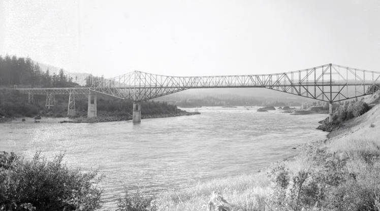
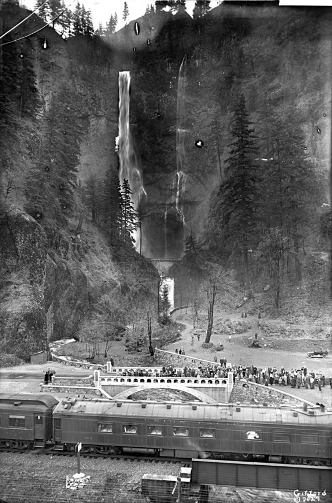
The Columbia’s main stem drops an average of more than two feet per mile, but in the middle section of basalt-lined gorges it drops more than five feet per mile. The most spectacular section is a 100-mile-long gorge, some 50 miles east of Portland. The Columbia River Gorge cuts through the Cascade Mountain Range, making the Columbia the only Pacific tributary to the Pacific to cut through western mountains at near sea level. More than 100 massive floods carved out the 3,000-foot trough between 15,000 and 18,000 years ago. The Gorge is also the site of one of the planet’s sharpest climatological divides, where precipitation varies from 75 to 15 inches per year in less than 30 miles.
The reach of tide on the Columbia River extends from the Pacific a little more than 100 miles from the ocean to the Gorge. This flat lower river section, which falls less than one-half foot per mile, includes Sauvie Island, one of the largest river islands in North America.
People and the River
People have lived along the Columbia and its tributaries for more than ten millennia. Native communities along the Columbia, from mouth to source, ranged widely in living conditions, language, cultural organizations, and economic relations. In Oregon, Native communities upriver from The Dalles spoke Sahaptin languages, while Chinookan languages prevailed downriver. Indigenous people relied on annual anadromous fish runs in the Columbia and other major rivers and smaller streams, making Native American communities on the lower river—where fish migrated in massive numbers—among the richest in material resources in North America.
Anadromous fish on the Columbia included steelhead trout (Oncorhynchus mykiss), ooligan (Thaleichthys pacificus), and lamprey (Lampetra tridentata), but the most important were salmon. Each year, salmon runs began in April and lasted until November. Chinook (Oncorhynchus tshawytscha) and sockeye (Oncorhynchus nerka) migrated in three seasons—spring, summer, and fall—while coho (Oncorhynchus kisutch) and pink salmon (Oncorhynchus gorbuscha) ran in summer and fall, and chum (Oncorhynchus keta) only in fall.
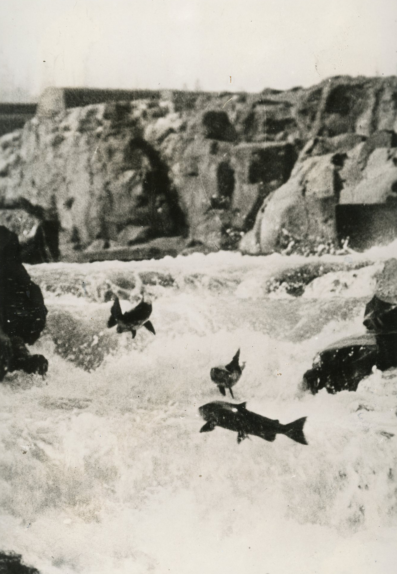
Indigenous groups took salmon from the main stem and from major tributaries by spear, dip net, and seine net, particularly at major falls, where fish had to leap the impediments. Native fishers took salmon at Willamette Falls on the Willamette River and at Kettle Falls on the upper Columbia.
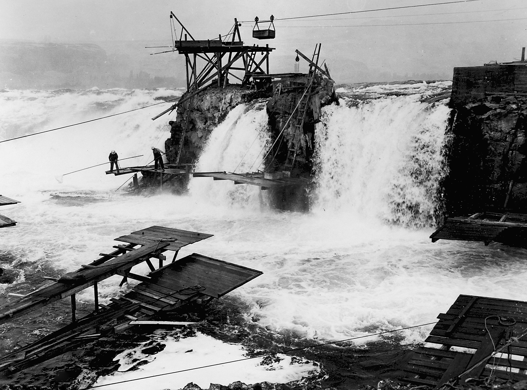
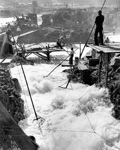
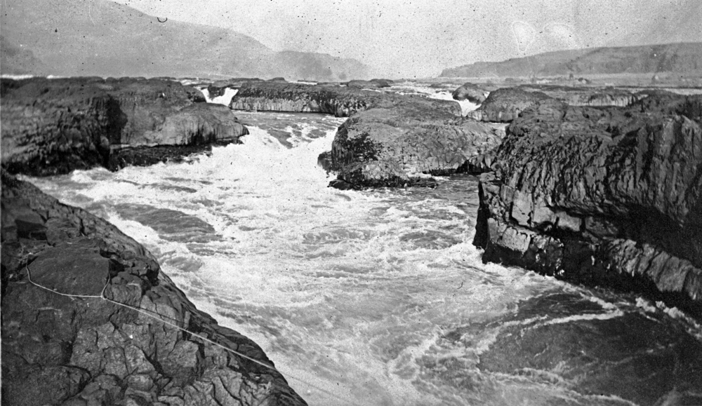
Celilo Falls on the middle Columbia near present-day The Dalles was a significant Native fishery, one of the most productive in North America. A horseshoe-shaped line of basalt ledges formed the falls, where the river dropped nearly forty feet in a series of cascades, making it ideal for catching salmon with dip nets. Thousands of people gathered there during the spring and summer runs to harvest chinook and to socialize and trade.
For centuries, dried and pounded salmon was a sustaining food and an important trade item for tribes on the Columbia. By the mid-twentieth century, Indian fishers used more than 450 fishing platforms at Celilo Falls to catch migrating fish, many of them weighing more than fifty pounds.
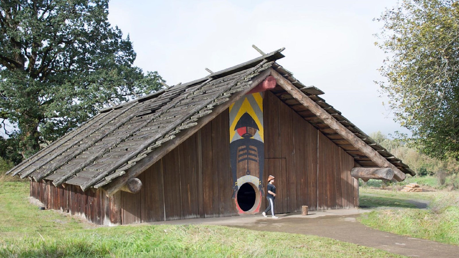
On the lower river, Indigenous fishers took sturgeon (Acipenser transmontanus) along with chinook salmon, but they also sustained themselves with plant materials and foods. They lived in large multi-family longhouses made from local conifer trees, primarily cedar (Thuja plicata). They also used spruce (Picea sitchensis), which grew to huge size in dense forests, for other manufactured items. On the upper river, Natives built tule mat houses. Lower river people lived year-round in villages, but they traveled on the river to take advantage of significant botanical food sources, especially wapato (Sagittaria latifolia), a tuber that thrived in wetlands, and camas (Camassia quamash), a lily that grew in lowland meadows.
In the middle river and plateau sections east of the Cascade Mountains, Umatilla, Walla Walla, Cayuse, Palouse, and other groups lived by seasonal rounds, fishing in season, gathering flowering plant foods, and hunting terrestrial animals. Their villages and homes were semi-permanent and often portable. Those who lived on interior tributaries, such as the Snake, Umatilla, and John Day Rivers, relied on horses by the mid-eighteenth century to extend their use of natural resources. Their cultures reflected their reliance on horses, which continue to be part of their lives today.
EuroAmerican explorers first included the correct location of the Columbia River on maritime charts in the late eighteenth century, when Bruno de Hezeta described it as a bay or perhaps a river estuary in 1775. By 1792, American Captain Robert Gray and Lieutenant William Broughton of British explorer George Vancouver’s expedition had produced the first maps of the lower river and estuary, which were published in 1798.
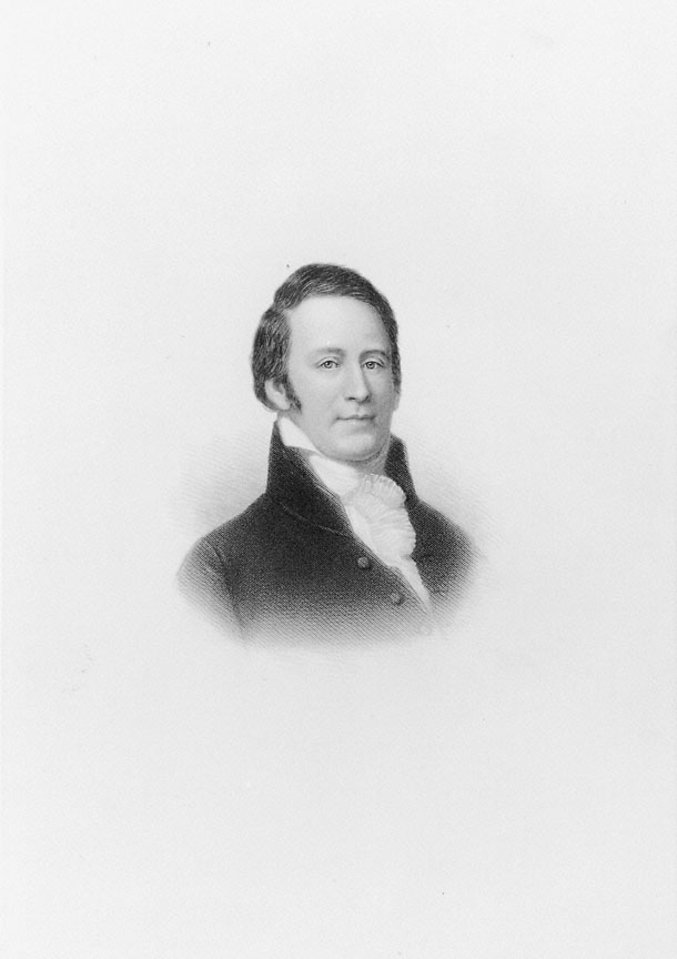
By 1800, maritime traders were visiting the Columbia estuary and trading with Native groups, but it was not until the Lewis and Clark Expedition explored the Columbia in 1805-1806 that EuroAmericans spent months on the river. Meriwether Lewis and William Clark and members of the expedition built Fort Clatsop, a log stockade near present-day Astoria, Oregon, where they lived from December 1805 until March 1806. They traded with local Chinook and Clatsop people; conducted scientific investigations of flora, fauna, and environmental conditions; and created detailed maps. The journals of their travel down the river in 1805 and their return upriver in 1806, which were officially published in 1814, offered the first extensive description of the Columbia. Trading vessels visited the lower river during the early 1800s, but more extensive and detailed maps were produced by David Thompson in 1811 and Charles Wilkes in 1841.
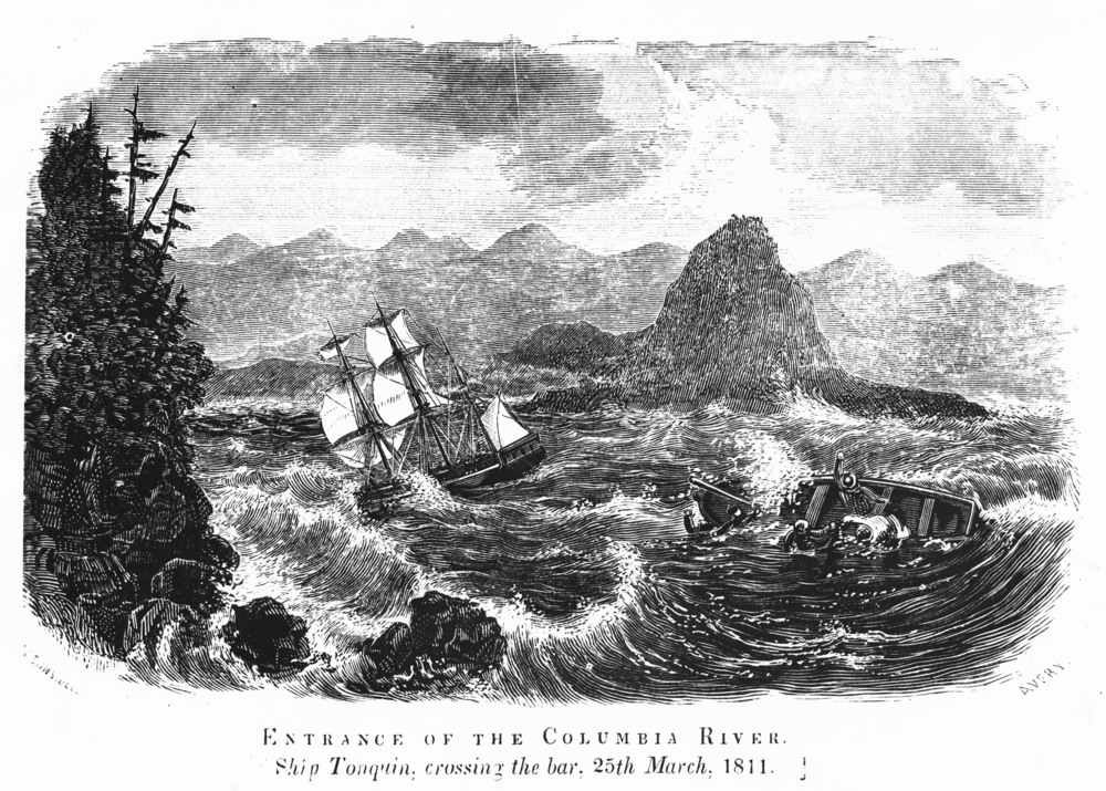
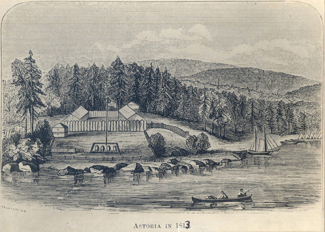
Early trading between Native groups and EuroAmericans centered on animal furs, first with Pacific Fur Company and the establishment of Astoria in 1811 at the mouth of the Columbia and later by Hudson’s Bay Company (HBC) and the building of Fort Vancouver near the mouth of the Willamette River in 1824. HBC fur traders exchanged manufactured items, especially made of metal, for furs that were trapped and dressed out by Native hunters. By the 1830s, HBC, a British-chartered enterprise, had established fur-trading posts on the Columbia main stem and on important tributaries. The company established the first cultivated agricultural fields on the Columbia, Willamette, Cowlitz, and Okanogan Rivers and ran an extensive operation that extended north to present-day southeast Alaska, east to the Continental Divide, south to San Francisco, and west as far as Hawaii.
From 1840 to 1860, American overland migrants used the river to reach the Willamette Valley after striking the Columbia River at The Dalles, east of the Cascade Mountains. Migrants to Oregon established early settlements on the Columbia and Willamette Rivers at Oregon City, Portland, Linnton, and St. Helens. By the 1850s, agricultural development had established the basis for export commerce, especially from Portland on the Willamette River, while on the main stem small communities had taken hold at the old trading sites of Astoria, Vancouver, and The Dalles.
Industrialization of the Columbia
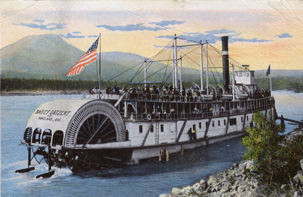
The industrialization of the Columbia can be marked from the arrival of the first working ocean steamships and river steamboats. Although the first steamship on the Columbia was the Beaver, an HBC ship that docked at Fort Vancouver in 1836, it was not until the 1850s that steamboats regularly connected towns and ports on the Columbia.
After gold had been discovered in the interior Columbia Basin in the late 1850s, entrepreneurs in Portland formed the Oregon Steam Navigation Company (OSN) in 1860 to develop an integrated river transportation network from the lower river to the interior. The company controlled key portages in the Columbia River Gorge at the Cascades and The Dalles-Celilo, which obstructed upriver travel. For twenty years, OSN held a monopoly on steamboat traffic on the river, running more than twenty-five boats and two portage railroads and carrying thousands of passengers to distant interior points. Portland was also a major grain port because of its steamship docking facilities. In 1890, for example, Portland recorded fifty-three grain-carrying ships at its docks, compared to twenty-five ships in Puget Sound.
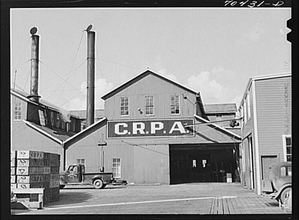
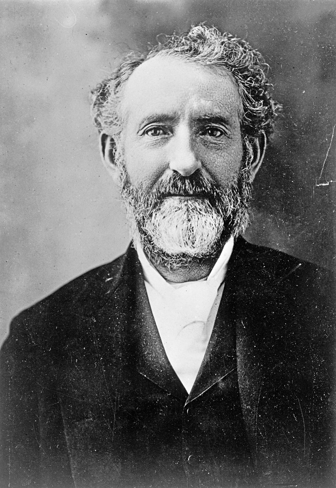
Commercial fishing operations also industrialized on the Columbia, with the development of sizable canning operations on the lower river. The first cannery opened in 1866, when G.W. and William Hume established a cannery at Eagle Cliff near present-day Cathlamet, Washington. Unlike Native fisheries, commercial fishing operations on the river decimated the fish runs in a few decades of intense harvest, primarily because of the efficiency of new technologies.
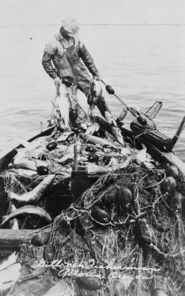
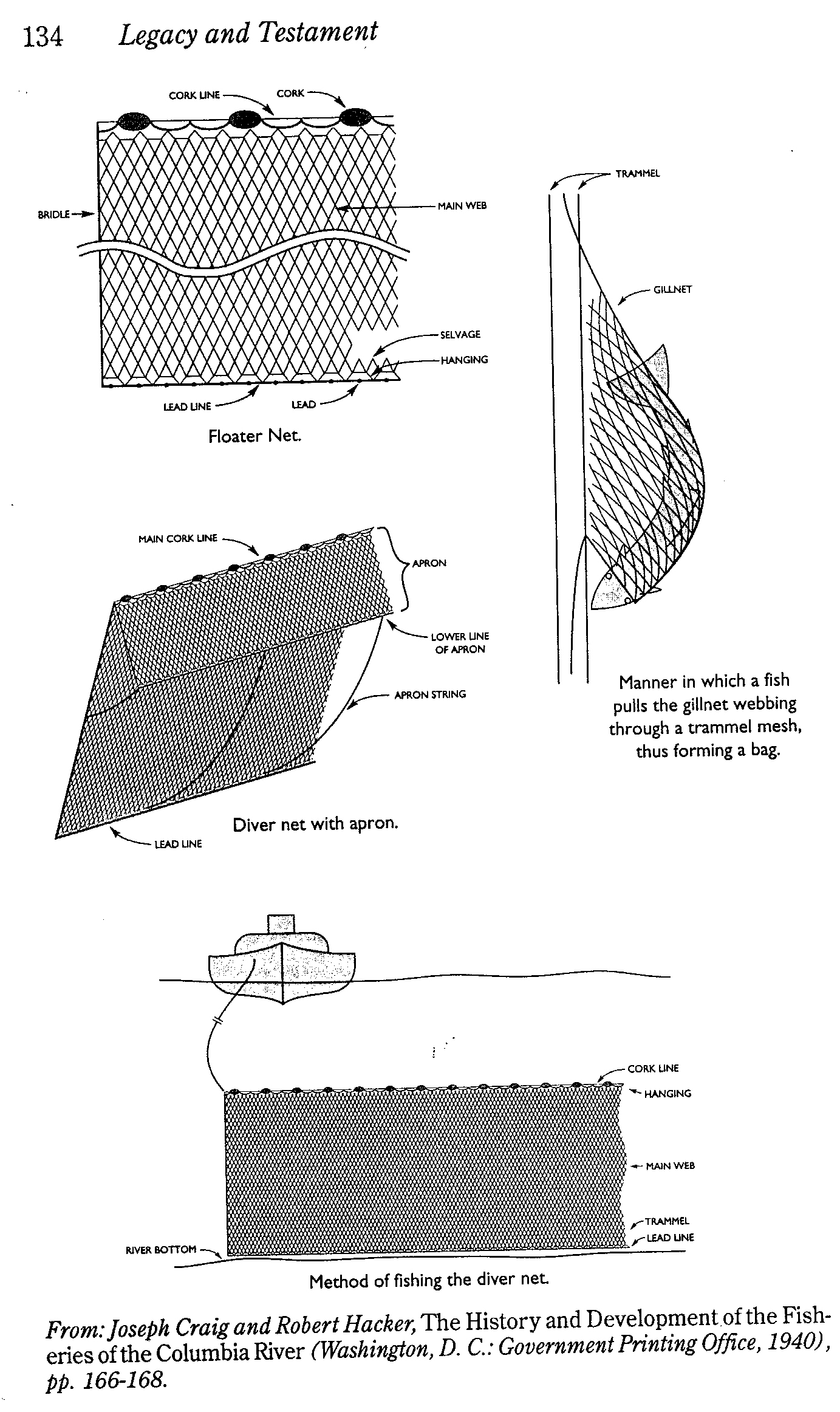
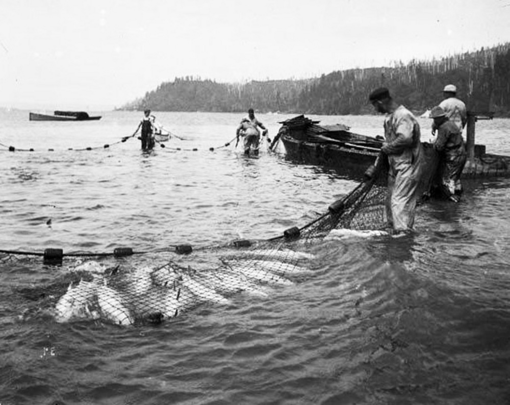
By the 1880s, more than thirty fish-canning factories lined the river from Astoria to The Dalles, producing as many as 634,000 cases of packed salmon each year. Fishing methods included shore seining, which used horses to pull in the heavy nets; gillnets; fish traps; and fishwheels, the most efficient and devastating. The large revolving wheels used the current for propulsion, with catchment buckets attached to the wheel used to scoop up migrating chinook with amazing efficiency. Introduced to the river in 1879, fishwheels accelerated the harvest of chinook salmon, with one fishwheel on the middle Columbia capturing a record 227,000 pounds of salmon in one day in 1894.
By 1911, the annual catch peaked at forty-seven million pounds, the highest harvest year on record. Salmon numbers began declining rapidly by 1925, but depletion of fish runs had already prompted the establishment of the region’s first fish hatchery in 1877 on the Clackamas River. Additional conservation measures to limit salmon harvest prohibited specific fishing gear, including fishwheels, outlawed in Oregon in 1926 and in Washington in 1934.
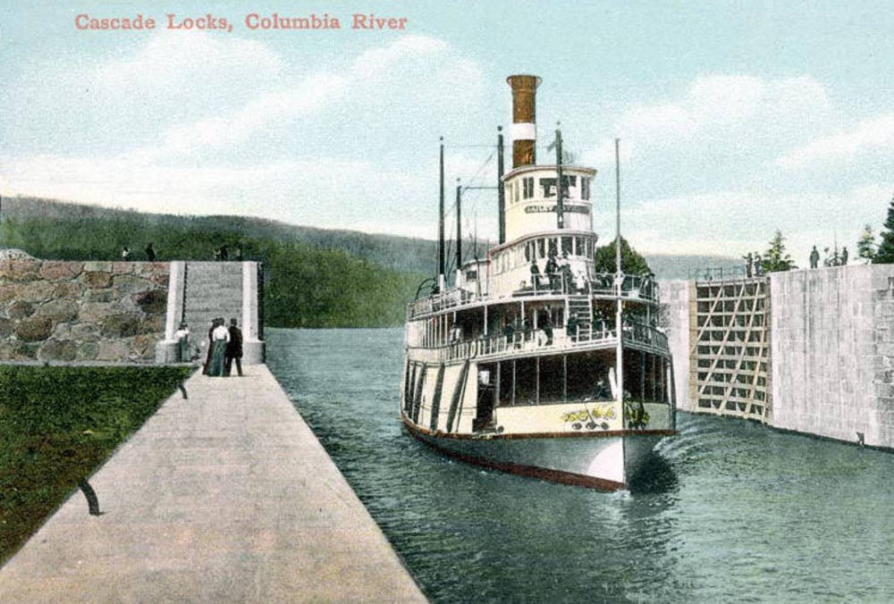
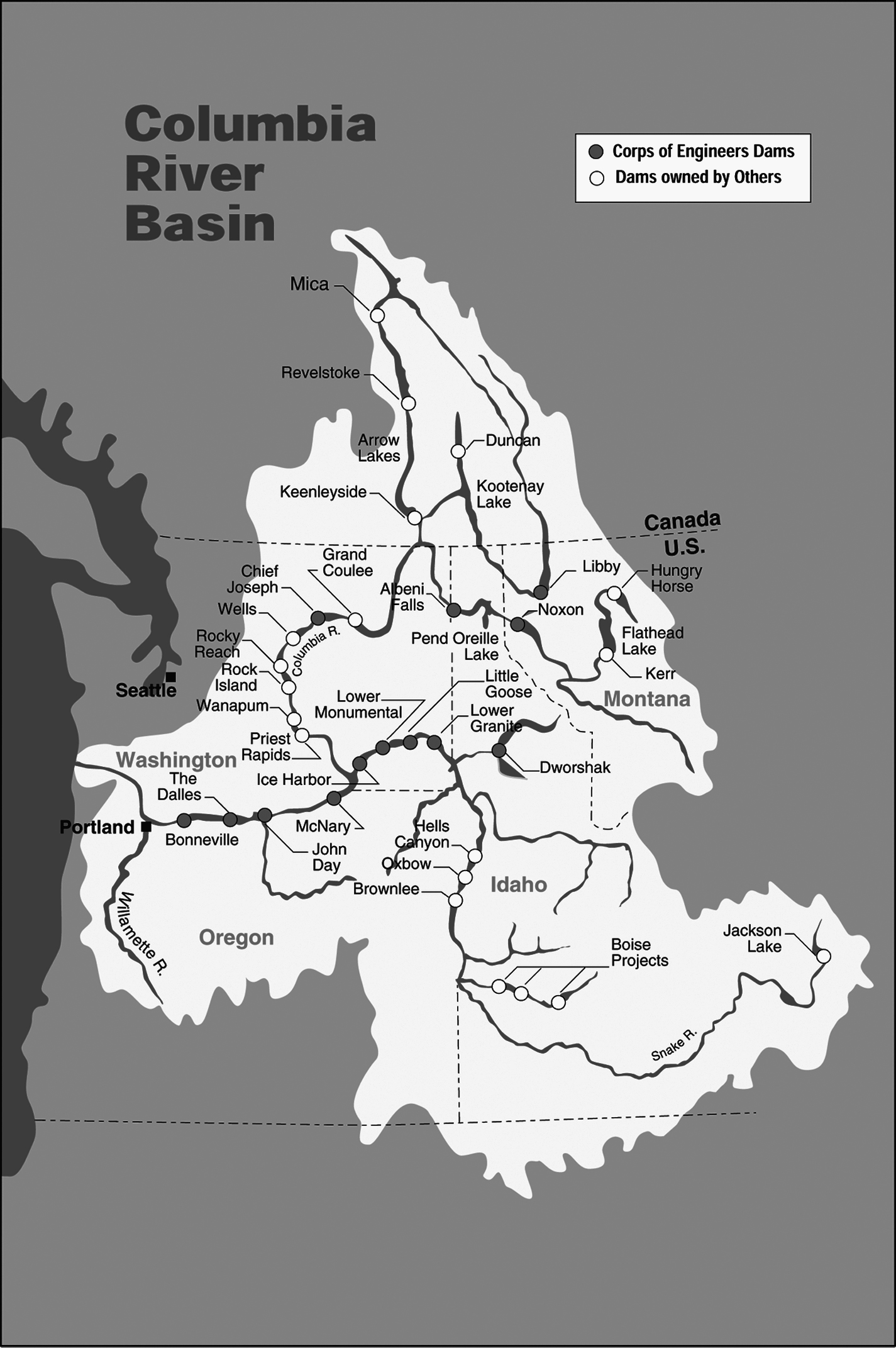
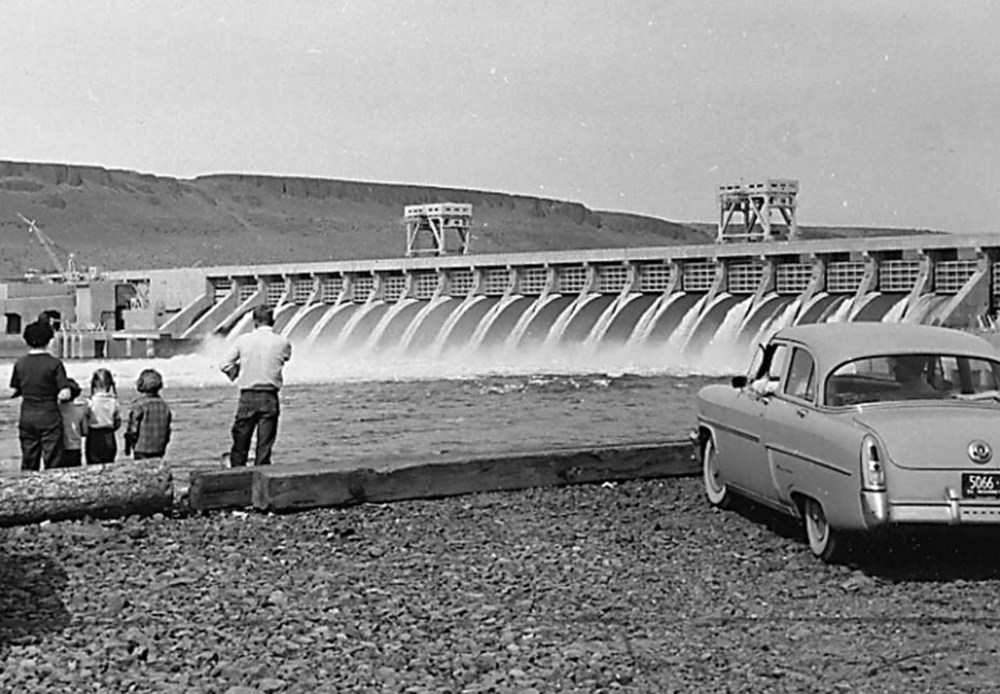
Multipurpose dams on the main stem—Bonneville (1938), McNary (1954), The Dalles (1957), and John Day (1968)—also affected anadromous fish migration and survival. The dams were built long after engineers had initiated significant manipulations to the Columbia. The U.S. Army Corps of Engineers had begun dredging, channel clearing, and navigation work in the 1860s. They built a canal around the Cascades by 1896; constructed a canal bypassing The Dalles rapids and Celilo Falls by 1915; and completed two massive jetty projects at the mouth of the Columbia, the south jetty in 1895 and the north in 1917.
In 1927, the desire for navigation improvements, hydroelectric power generation, and flood control prompted Congress to authorize a survey of potential dam sites on the Columbia. Completed in 1932, the “308 Report” (named for the congressional bill number) laid out a plan for building multipurpose dams on the river. The need for employment during the Great Depression made it politically advantageous to authorize and build Bonneville Dam near Portland, completed in late 1938, and Grand Coulee Dam near Wenatchee, Washington, completed in 1942.
Fish could not negotiate the 550-foot-high Grand Coulee, but fish passage was part of Bonneville’s plan from the beginning. The original facilities included three fish ladders, with the capacity to send 30,000 fish a day upriver. Aiding downstream juvenile fish, however, presented greater problems. In partial acceptance that dams harm fish passage, Congress passed the Mitchell Act in 1938. The act mandated that federal agencies relocate existing fish hatcheries, build new hatcheries in agreement with state agencies, design fishways for dams, screen irrigation works, and conduct biological surveys to improve fish habitat.
The most important consequence of dam-building was economic. During World War II, readily available and low-cost power attracted war industries to the lower Columbia. Major shipbuilding operations brought workers to the Portland-Vancouver area, and a wartime residential community, Vanport, was Oregon’s second largest town by 1944. In 1943, war industries consumed more than ninety percent of Columbia River hydroelectric power, including energy-intensive aluminum smelting operations. The first was located on the Columbia by 1940 at Vancouver, Washington, but others followed at Troutdale, The Dalles, and John Day by the 1960s. An aluminum plant at Spokane, Washington, also relied on Columbia River power. By the early 1990s, more than 8,000 people worked at Columbia River aluminum smelters powered by hydroelectricity, with a payroll exceeding $500 million a year.
Post-World War II construction of four dams on the lower Snake River—Ice Harbor (1961), Lower Monumental (1969), Little Goose, (1970), and Lower Granite (1975)—created a string of slackwater pools that facilitated barge traffic from the lower Columbia River all the way to Lewiston, Idaho, more than 400 river miles from the Pacific Ocean. Congress authorized sufficiently large locks on each dam on the Columbia and Snake Rivers to create a shipping channel at least 14 feet deep and 250 feet wide.
While Columbia River dams provided flood control, navigation benefits, and impoundments for irrigation, generating electricity is their largest economic benefit. In 1937, Congress authorized the creation of the Bonneville Power Administration (BPA), whose purpose was to deliver power at cost throughout the Pacific Northwest. BPA regulations included a “preference clause” that gave first power purchases from the system to public utilities at a very low kilowatt-hour rate.
By 1948, BPA had designed and built a network of transmission lines that sent publicly generated power to major cities and rural communities. During the 1950s and 1960s, additional generating capacity expanded distribution of Columbia River hydropower, including sending electricity to California markets through the Northwest-Southwest Intertie (1970). The distribution was based in part on agreements embedded in the U.S.-Canada Columbia River Treaty (1964), which funded three dams on the upper river in British Columbia. The Pacific Northwest Coordination Agreement in 1964 brought BPA, the Army Corps of Engineers, and fourteen private dam operators together on a unified program for hydropower operations that guaranteed a monitored river and delivered maximum power generation.
Conservation and Fish
The structure of the Columbia and its tributaries assured heavy flow volumes every spring, when lowland areas flooded. The flood of record occurred in 1894, when 1,240,000 cubic feet per second of water passed The Dalles, flooded downtown Portland on the Willamette, and increased the river to 33 feet above normal at Vancouver. On May 30, 1948, the second largest flood on record sent 900,000 cubic feet of water per second downstream at The Dalles, inundated hundreds of thousands of acres in the Columbia Valley, washed away the town of Vanport, destroyed $100 million in property, and killed 32 people. From the 1950s through the 1970s, federal agencies on the Columbia focused on water projects and improvements, including diking, revetments, and levees that protected property and people living in the floodplain.
Increasingly, reports on fish numbers on the Columbia and tributaries told a story of decline. Preindustrial salmon runs were estimated to be as high as 15 million fish annually, but dams closed off 50 percent of fish habitat in the basin. Since Bonneville Dam closed its gates in 1938, fish runs have ranged from 3.2 million fish to 919,000 fish in 1993, figures that include both wild and hatchery fish. By the 1990s, more that 75 percent of anadromous fish returning to Pacific Northwest rivers, including the Columbia, had been bred in hatcheries. Many people predicted the end of wild salmon and steelhead runs and reported that hatchery fish threatened to expose wild fish to hatchery-caused diseases.
The worrisome reports about the biological health of the Columbia spurred Congress to pass the Northwest Power Act in 1980, the most important recent legislation affecting management of the river. The act specifically declared its purpose “to treat fish and wildlife as a co-equal partner with other uses in the management and operation of hydro projects of this region.” The legislation also created the Northwest Power and Planning Council (now Northwest Power and Conservation Council)—composed of representatives from Oregon, Idaho, Washington, and Montana—to conduct studies and advise agencies on how to meet the goals of the Northwest Power Act.
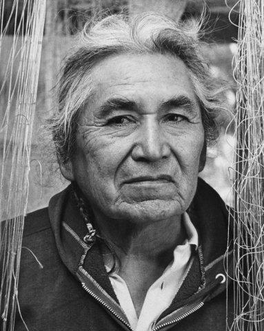
At the same time that environmentalists worried about the fate of fish in the Columbia, Native fishers forced state and federal authorities to honor treaty obligations made in the 1850s. The agreements, which had been made between sovereign nations, guaranteed fishing treaty tribes the right to fish on reservation lands and at “all other usual and accustomed stations in common with citizens of the United States.” During the 1960s and 1970s, members of the Yakama, Nez Perce, Umatilla, and Warm Springs Nations complained to the federal court that state and federal governments had long violated their fishing rights. Judge Robert Belloni, in Sohappy v. Smith, ruled in favor of Indian fishers in 1969. Five years later, Judge George Boldt, in United States v. Washington, held that Indian fishers could take fifty percent of fish in common with non-Indians, which effectively honored the 1855 treaty commitments. The U.S. Supreme Court upheld the decision in 1979.
The resurgence of Indian fishing rights on the Columbia led to the creation of the Columbia River Inter-Tribal Fish Commission (CRITFC) in 1977, headquartered in Portland. CRITFC’s mission “is to ensure a unified voice in the overall management of the fishery resources, and...to protect reserved treaty rights through the exercise of the inherent sovereign powers of the tribes." All cooperative management policies on the Columbia River that affect anadromous fish include CRITFC as a major participant.
In 1991, federal agencies listed several fish runs on the Columbia and Snake Rivers as threatened or endangered under the Endangered Species Act (ESA). Already in the 1970s, however, the Army Corps of Engineers had designed a compensation plan to mitigate fish losses that resulted from construction of the lower Snake River dams. The plan included trucking juvenile fish from the Snake River to the lower Columbia. By the 1990s and early 2000s, however, federal agencies had struggled to meet ESA requirements. Three times, federal District Judge James Redden rejected the federal river management plans designed to ensure fish survival. A new plan is due for another review in 2014.
The Columbia River’s transformation during the twentieth century has affected most political, economic, and social relationships in Oregon and the greater Pacific Northwest. The immense benefits of river development are undeniable, but it is a matter of opinion how much of the river’s environment has suffered. Public opinion polls consistently have rated preservation of salmon higher than other economic benefits, but political conflict is vested in most policy proposals. Creating a plan and the means to guarantee sustainable use of the Columbia River is one of the region’s greatest challenges, and it continues to be a matter of intense public debate.
-
!["Les Dalles," on the Columbia River]()
"Les Dalles," on the Columbia River.
"Les Dalles," on the Columbia River Courtesy Oreg. Hist. Soc. Research Lib.,
Related Entries
-
![Astoria and Columbia River Railroad]()
Astoria and Columbia River Railroad
Ever since Astoria was founded at the mouth of the Columbia River in 18…
-
![Bailey Gatzert]()
Bailey Gatzert
Built when racing was popular among passenger steamboats, the stately B…
-
![Bonneville Dam]()
Bonneville Dam
The U.S. Army Corps of Engineers built and operated Bonneville Lock and…
-
![Bridge of the Gods]()
Bridge of the Gods
In the heart of the Columbia River Gorge, a 1,858-foot-long steel-truss…
-
![Cascade Locks]()
Cascade Locks
A massive ground movement known as the Bonneville Landslide, which occu…
-
![Cathlapotle]()
Cathlapotle
Cathlapotle is the archaeological site of a major Chinookan town locate…
-
Celilo Falls
Celilo Falls (also known as Horseshoe Falls) was located on the mid-Col…
-
![Celilo Fish Committee (1935 - 1957)]()
Celilo Fish Committee (1935 - 1957)
Members of Umatilla, Yakama, and Warm Springs tribes joined unenrolled …
-
![Columbia River Bar Pilots]()
Columbia River Bar Pilots
The extensive, dangerous bar channel at the entrance to the Columbia Ri…
-
![Columbia River Fisherman's Protective Union]()
Columbia River Fisherman's Protective Union
The Columbia River Fishermen's Beneficial Aid Society was organized on …
-
![Columbia River Gorge National Scenic Area]()
Columbia River Gorge National Scenic Area
Established by Congress in 1986, the Columbia River Gorge National Scen…
-
![Columbia River Inter-Tribal Fish Commission]()
Columbia River Inter-Tribal Fish Commission
The Columbia River Inter-Tribal Fish Commission (CRITFC) is the fishery…
-
![Columbia River Packers Association]()
Columbia River Packers Association
In the 1890s, efforts to form an association of salmon packers on the l…
-
![Columbia River Treaty (1964)]()
Columbia River Treaty (1964)
The high-voltage power lines that march across central Oregon, linking …
-
![Concomly (1765?-1830?)]()
Concomly (1765?-1830?)
Of the several Chinook men called Concomly at one time or another, the …
-
![David Sohappy (1925–1991)]()
David Sohappy (1925–1991)
Born and raised on the Yakama reservation in south-central Washington a…
-
![David Thompson (1770-1857)]()
David Thompson (1770-1857)
British fur agent, surveyor, explorer, and cartographer David Thompson …
-
![Gillnet fishing]()
Gillnet fishing
A gillnet is used by fishermen throughout the world to catch various sp…
-
![Lewis and Clark Expedition]()
Lewis and Clark Expedition
The Expedition No exploration of the Oregon Country has greater histor…
-
![Meier Site]()
Meier Site
The Meier site, the subject of an archaeological excavation that docume…
-
![Oregon Steam Navigation Company]()
Oregon Steam Navigation Company
Among early business enterprises in Oregon, the Oregon Steam Navigation…
-
![Robert Deniston Hume (1845-1908)]()
Robert Deniston Hume (1845-1908)
Love him or hate him, Robert Deniston Hume, called R.D. for short, was …
-
![Rock Art]()
Rock Art
Rock art is one of the most common types of archaeological site in Oreg…
-
![Salmon]()
Salmon
The word “salmon” originally referred to Atlantic salmon (Salmo salar),…
-
![Seine Fishing]()
Seine Fishing
For much of their fishing history in Oregon, Native Americans used hand…
-
![Seufert Brothers Cannery]()
Seufert Brothers Cannery
Seufert Brothers Company was the leading salmon packer on the Middle Co…
-
![Sk'in]()
Sk'in
Sk’in was a significant Native American settlement located on the north…
-
![The Dalles Dam]()
The Dalles Dam
The United States Army Corps of Engineers constructed The Dalles Dam be…
-
![Tonquin (ship)]()
Tonquin (ship)
The Tonquin, built in 1807, was described by Edmund Fanning, its builde…
-
![U.S. Army Corps of Engineers]()
U.S. Army Corps of Engineers
The U.S. Army Corps of Engineers, a hybrid military and civilian federa…
-
![Wilson Price Hunt (1783-1842)]()
Wilson Price Hunt (1783-1842)
In 1809, John Jacob Astor selected Wilson Price Hunt to be his St. Loui…
-
![Woody Guthrie and the Columbia River]()
Woody Guthrie and the Columbia River
It is sometimes hard to believe that one month in the life of a twenty-…
Related Historical Records
Further Reading
Aguilar, George Jr. When the River Ran Wild! Indian Traditions on the Mid-Columbia and the Warm Springs Reservation. Portland: Oregon Historical Society Press and University of Washington Press, 2005.
Cone, Joseph, and Sandy Ridlington, eds. The Northwest Salmon Crisis. Corvallis: Oregon State University Press, 1996.
Lang, William L., and Robert Carriker, eds. Great River of the West: Essays on the Columbia River. Seattle: University of Washington Press, 1999.
Ulrich, Roberta. Empty Nets: Indians, Dams, and the Columbia River. Corvallis: Oregon State University Press, 2007.
White, Richard. The Organic Machine. New York: Hill & Wang, 1995.
Willingham, William. Army Engineers and the Development of Oregon. Portland: U.S. Army Corps of Engineers, 1983.


