The Samuel H. Boardman State Park is a 1,471-acre, 11-mile, linear park consisting of a stunning swath of coastal Curry County. Stretching west of Highway 101 in a continuous corridor from Brookings north to Pistol River State Park, Boardman State Park (now administratively referred to as a State Scenic Corridor) is one of the most iconic of Oregon’s coastal parks. The park features forested headlands, seaside prairies, shimmering beaches, towering sea stacks, magnificent vistas, and booming surf. The Oregon Coast Trail meanders through the entire park, and Oregon Parks and Recreation Department maintains seven marked trails, ranging from very short to several miles in length. There are also opportunities for informal hikes down to and along the many beaches.
The park is one of the few landmarks that honors Samuel H. Boardman. As Oregon’s first superintendent of State Parks, from 1929 to 1950, Boardman shaped the Oregon state park system and orchestrated much of the land acquisition for the park named after him.
Land now within the park was home for thousands of years to Native people known in Oregon as the Tututni. Despite nearly a century of EuroAmerican occupation, the shoreline of modern Curry County remained remarkably undeveloped by the early decades of the twentieth century. Prairie lands formerly cleared by Native burning were used for livestock grazing and harbored ruggedly independent farmsteads that produced meat, wool, and dairy products. Yet, lacking a substantial navigable harbor and being relatively inaccessible to urban tourists, the Curry County coast lagged in development except for spurts of gold mining and industrial timber-cutting. Property values, low already, had plummeted during the Depression, and by the 1930s visitors could still view a largely undeveloped coastline of outstanding geographic diversity.
The potential of Curry County as one of the last venues for a large coastal park was widely recognized. In 1938, both the National Park Service and the State Parks Division independently studied the Brookings-to-Gold Beach stretch of the coast for possible protection. Glenn O. Stevenson, a Highway Department landscape architect and draftsman, and Boardman’s deputy, W.A. Langille, backpacked the area and wrote a report recommending protection of 4,935 acres, focused mainly on the shoreline. National Park Service planners recommended a 30,000-acre national park stretching south from Cape Sebastian to Brookings and reaching into the hills up to a half mile east of Highway 101, which ran inland through Carpenterville, as had the pre-existing road since at least 1922.
Despite Sam Boardman’s enthusiasm for the federal proposal, U.S. Secretary of the Interior Harold Ickes extended only token support, and he advised Boardman that there was no funding for it. Despite support from Governor Charles Sprague and Curry County residents and some positive publicity, Ickes never put his full weight behind the Oregon Coast park project, focusing instead on shoreline acquisition efforts along the Olympic Peninsula in Washington State.
On May 29, 1940, Oregon Senator Charles McNary introduced a bill in Congress that would create the park, but it died in session because of local opposition and a negative recommendation by the Bureau of the Budget. Ickes remained largely noncommittal, but Boardman carried on where the National Park Service had halted.
In 1941, state highway engineers completed a road location study for the ultimately successful effort to realign the Carpenterville-Brookings portion of the Oregon Coast Highway to bring it closer to the coast. With the study in hand, Boardman negotiated directly with rural landowners, but he also employed a statewide network to garner behind-the-scenes support. His principal goal was the purchase of 2,000 acres fronting the realigned coastal highway, which he called the “biggest scenic, recreational project that has ever been presented to a [highway] commission from an acquisition standpoint.” The State Highway Commission, often reticent with acquisition funding, was supportive.
After reporting back to the commission on the feasibility of the project, Boardman initiated negotiations with local landowners in the summer of 1947. By 1950, the state had acquired, through purchase and condemnation, 1,095 acres for just under $150,000. The keystone piece was 367 acres donated by Pacific Borax Company of Los Angeles, a division of the British company Borax Consolidated. The donation, completed in 1950, provided both a parking area and additional beach access. The state was also able to purchase 83 acres of federal lands managed by the Bureau of Land Management in May 1957 for $14,860, which helped add to the expanding park. Remaining park acreage was acquired that same year.
The State of Oregon named the park in honor of Boardman when he retired in 1950, three years before his death.
-
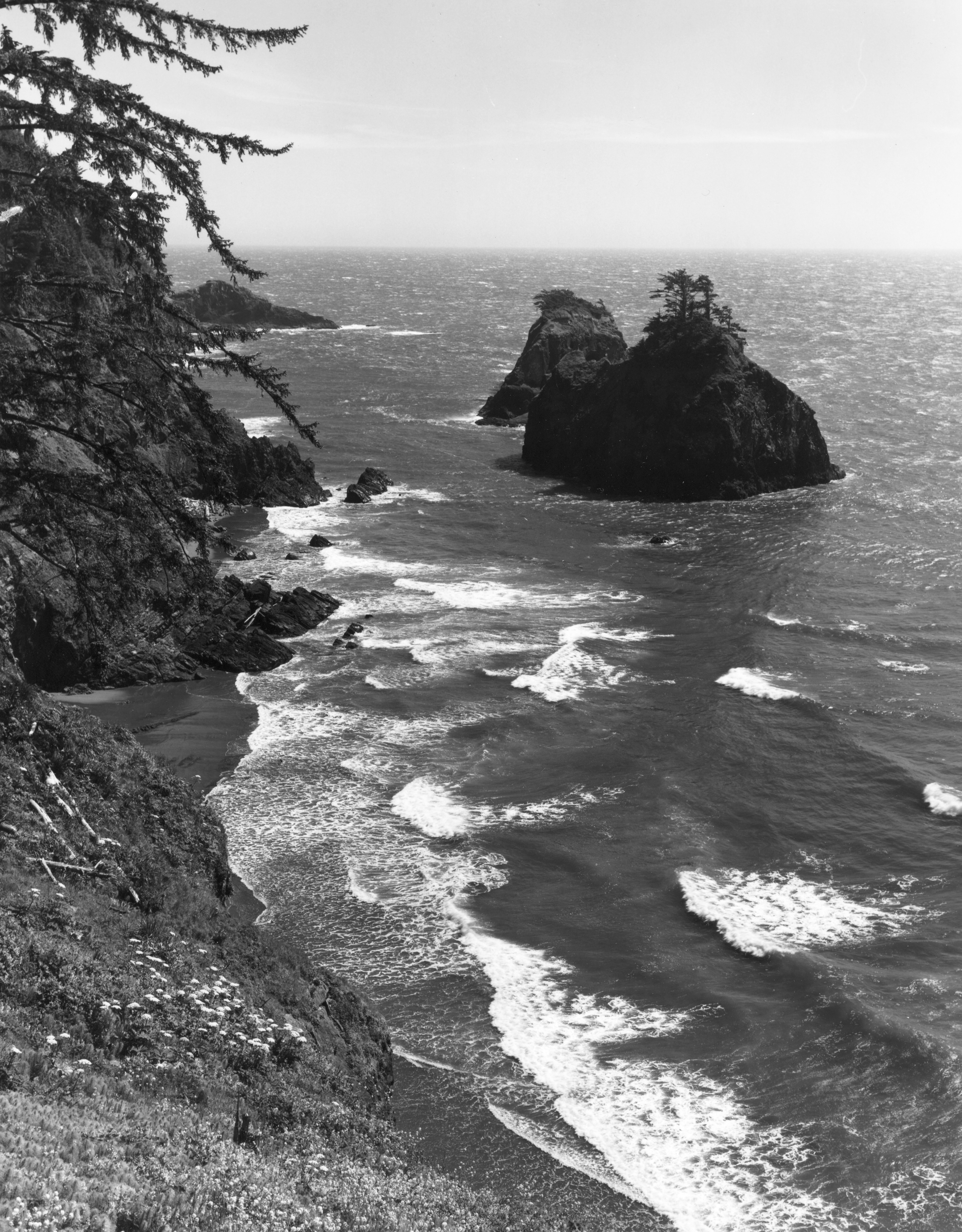
![Coast at Boardman State Park near Brookings.]()
Boardman Park, near Brookings, P057acc91156.
Coast at Boardman State Park near Brookings. Photo Oreg. State Hwy Dept., courtesy Oreg. State Univ. Libr., P057acc91156
-
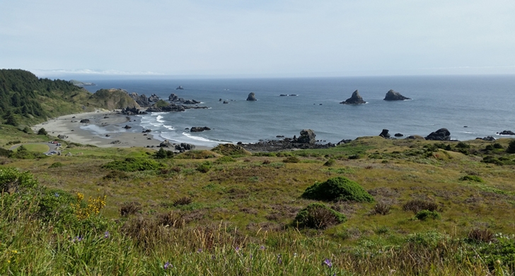
![]()
Cape Ferrelo, Boardman State Park.
Courtesy Oregon State Parks
-
![]()
Samuel H. Boardman State Park.
Courtesy Oregon State Parks
-
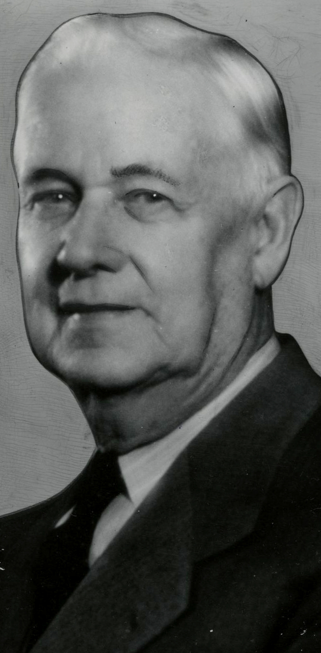
![]()
Samuel Boardman, 1950.
Courtesy Oregon Hist. Soc. Research Lib., 000862

Related Entries
-
![Bates State Park]()
Bates State Park
Bates State Park, located in Grant County, one mile north of Austin Jun…
-
![Charles L. McNary (1874-1944)]()
Charles L. McNary (1874-1944)
Charles Linza McNary represented Oregon in the U.S. Senate from 1917 un…
-
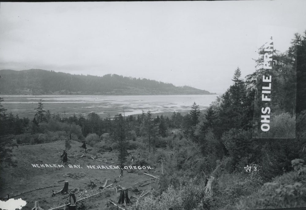
![Nehalem Bay State Park]()
Nehalem Bay State Park
Nehalem Bay State Park occupies almost 900 acres on a sand spit separat…
-
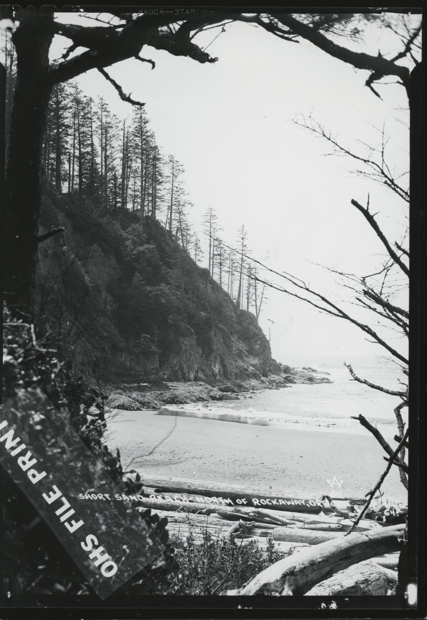
![Oswald West State Park]()
Oswald West State Park
Shortly after Samuel Boardman became Oregon’s first director of state p…
-
![Samuel H. Boardman (1874-1953)]()
Samuel H. Boardman (1874-1953)
As the first state parks superintendent in Oregon, serving from 1929 to…
-
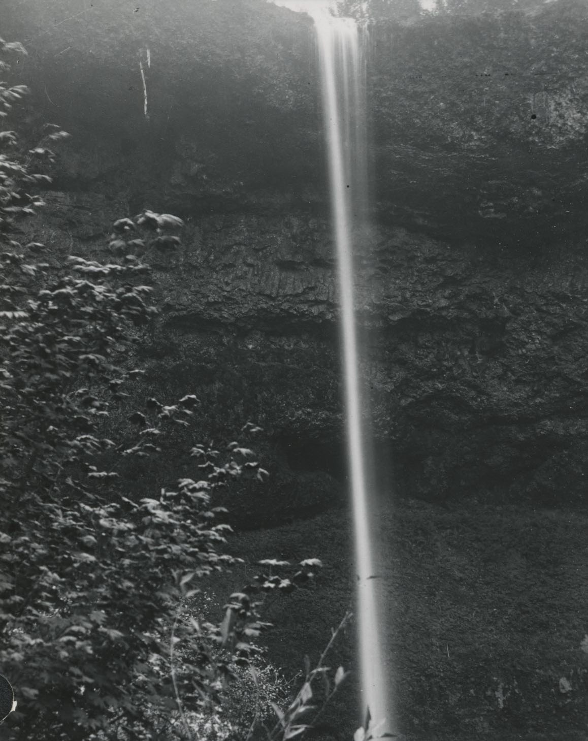
![Silver Falls State Park]()
Silver Falls State Park
Silver Falls State Park, located about twenty miles southeast of Salem,…
-
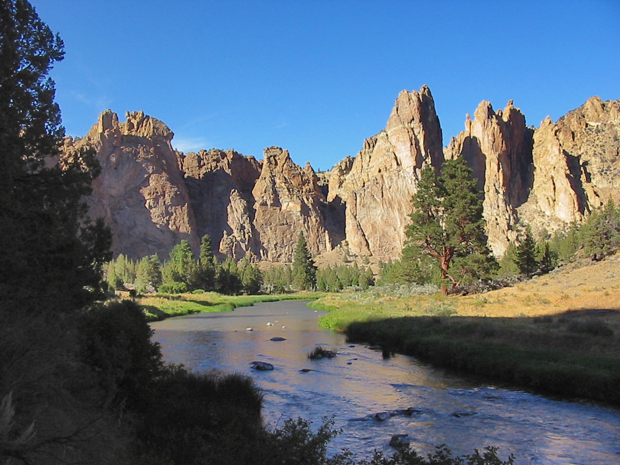
![Smith Rock State Park]()
Smith Rock State Park
Smith Rock State Park encompasses 652 acres near Redmond and Terrebonne…
-
![Tryon State Park]()
Tryon State Park
Located in southwest Portland, Tryon Creek State Park is a 635-acre, un…
-
![US 101 (Oregon Coast Highway)]()
US 101 (Oregon Coast Highway)
Many places on the Oregon coast were virtually inaccessible in the earl…


Map This on the Oregon History WayFinder
The Oregon History Wayfinder is an interactive map that identifies significant places, people, and events in Oregon history.
Further Reading
Armstrong, Chester H. Oregon State Parks History, 1917-1963. Salem, Ore.: State Printer, 1965.
Langille, W. A. A Report on the Shorelands of the Crook Point – Cape Ferrelo Section of the Curry County, Oregon, Coast Line, [1938], p. 3, Ax 635, Langille Papers, University of Oregon Special Collections, Knight Library, Eugene.
Mark, Stephen R. Remaking an Inhabited Wilderness: Sam Boardman's Struggle for the Curry County Ocean Waysides. Draft typescript (in author's possession), 2015.
Merriam, Lawrence C., Jr. Oregon's Highway Park System, 1921-1989: An Administrative History. Salem: Oregon State Parks, 1992.